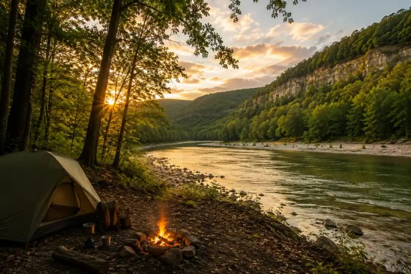
The Ozarks are the oldest mountains in North America worn down to bluffs, hollows and clear spring-fed rivers, spread across northern Arkansas and southern Missouri. They are not dramatic in the way the Rockies are dramatic. They are dense, green, full of water, and almost entirely free to camp in, which makes them one of the best-value hiking regions in the country.
The signature hikes
Hemmed-In Hollow
The tallest waterfall between the Rockies and the Appalachians at 209 feet, in a box canyon above the Buffalo National River. The Compton trailhead approach is about five miles round trip and drops roughly 1,400 feet, which you climb back at the end. Go in spring or after heavy rain; in late summer the fall is often a trickle and the walk is not worth it.
The Buffalo National River
The first National River in the country, 135 miles of undammed water below limestone bluffs. Big Bluff and the Goat Trail give you the most exposed walking in Arkansas, on a ledge 500 feet above the river. Whitaker Point, better known as Hawksbill Crag, is the most photographed rock in the state and a straightforward three-mile round trip.
The Ouachita Trail
A 223-mile long-distance trail running east to west along the Ouachita range, which is unusual: these ridges run the wrong way compared with most American mountains. Free dispersed camping along most of its length and shelters at intervals. Our 4-day section-hike route covers the best of it, and the week-long version goes deeper.
Missouri's side
- The Ozark Trail. Around 350 completed miles through the Missouri Ozarks, quiet even at weekends.
- Johnson's Shut-Ins. Volcanic rock chutes the river runs through, more swimming hole than hike, and worth the detour in summer.
- Elephant Rocks. Granite boulders the size of houses, a mile-long loop, good with children.
- Current and Jacks Fork rivers. Ozark National Scenic Riverways, spring-fed and clear, better paddled than walked.
Why it is cheap
Almost all of it sits on national forest land where dispersed camping is free and legal, and neither the Buffalo National River nor the Ouachita National Forest charges an entrance fee. A week here costs a fraction of a week in a western national park, which is why it appears in our budget hiking guide as one of the cheapest good trips in the country.
When to go
- April to May. Waterfalls running, dogwood and redbud out, temperatures pleasant. The best window.
- October to November. Fall colour through the hardwoods, low water, stable weather. The second-best window and the driest.
- Summer. Hot, humid, and thick with ticks and chiggers. Long trousers, permethrin-treated, and a tick check every evening. The rivers are the redeeming feature.
- Winter. Mild, leafless, and the bluff views open up. Underrated.
Two things that catch people out
Water levels decide your trip. Waterfalls here are rain-fed rather than snow-fed, so Hemmed-In Hollow can be spectacular one week and dry the next. Check recent rainfall before committing to a waterfall hike.
Ticks are a genuine health issue, not an inconvenience. The region has high rates of tick-borne illness. Treat clothing with permethrin, check thoroughly, and take it seriously between April and October.
Making a longer trip
Our 10-day Arkansas outdoor circuit from Northwest Arkansas Regional links the Buffalo River, the Ouachitas and the Ozark Highlands into one route, and it is the version to take if you are flying in rather than driving.