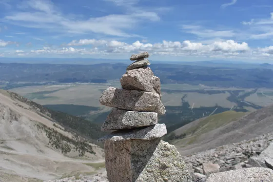
Seven Summits in a Weekend:
The Presidential Traverse
A weekend Presidential Traverse across the highest peaks of New Hampshire's White Mountains, about 20 miles over Madison, Adams, Jefferson, Washington, Monroe, Eisenhower, and Pierce, split over 2 to 3 days using the AMC high huts.
Free interactive planner · drag & reorder your days, add stops, map it in minutes
Build your own Presidential Traverse, drag, reorder & map it.
Drag stops between days, slot in the AMC high huts where you want to overnight, and add your own peaks and bail-out trails with the place search. The live map and distances recalculate as you go, and we'll warn you before you build a day no one finishes safely above treeline.
Opens a side panel · reorder days, add custom stops, see your route live
One ridge, seven Presidential peaks, all above treeline.
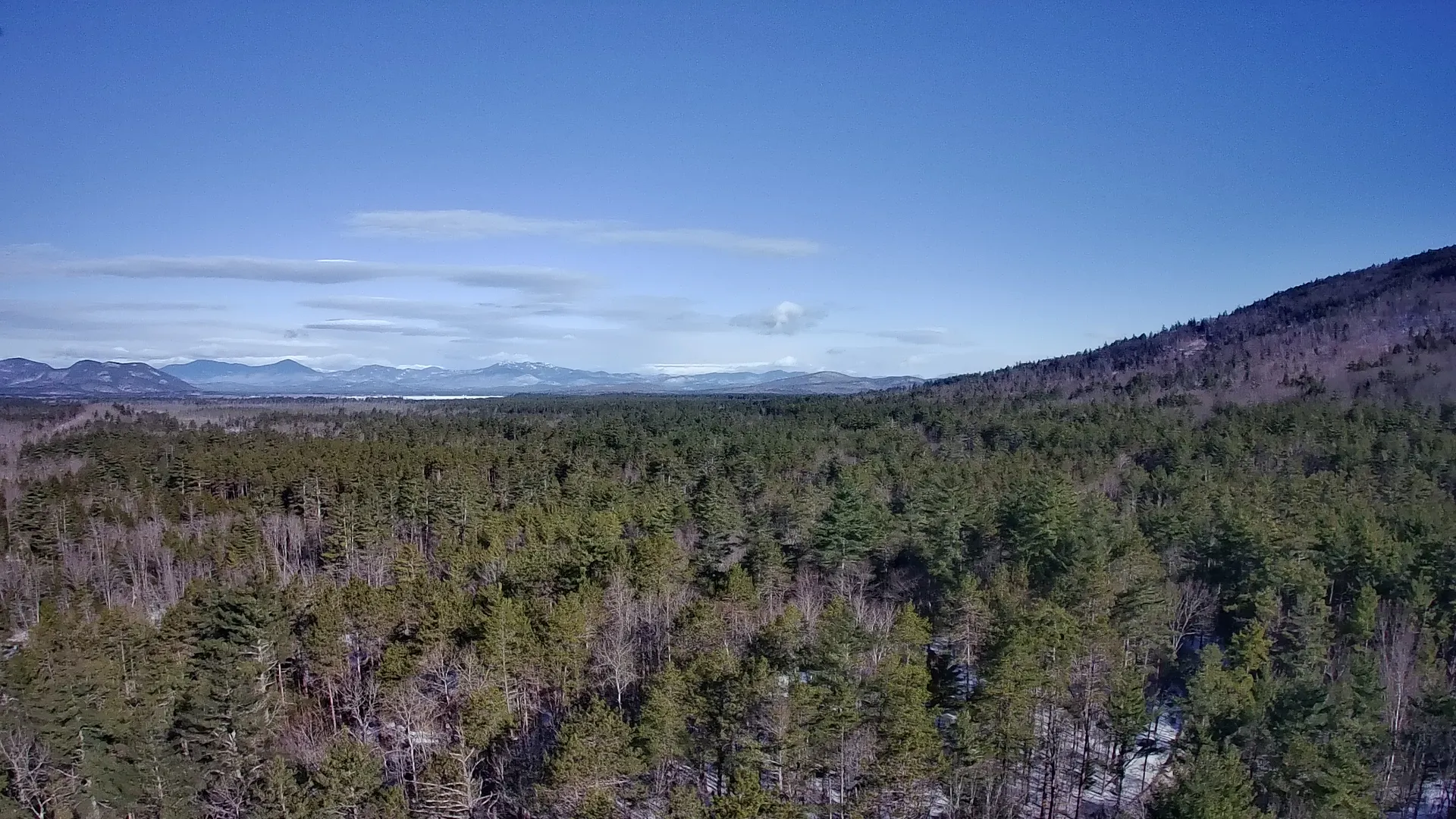
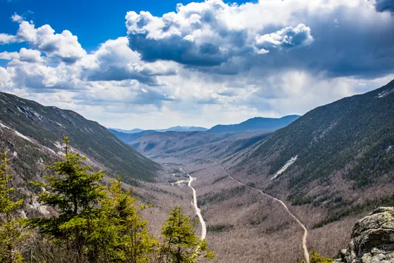
The Presidential Traverse is the classic high route of the White Mountains, a roughly 20-mile point-to-point hike across the highest peaks of New Hampshire's Presidential Range. From the Appalachia trailhead it climbs over Mounts Madison, Adams, Jefferson, Washington, Monroe, Eisenhower, and Pierce before dropping down to Crawford Notch, with about 9,000 feet of total elevation gain and long stretches exposed on the alpine ridge.
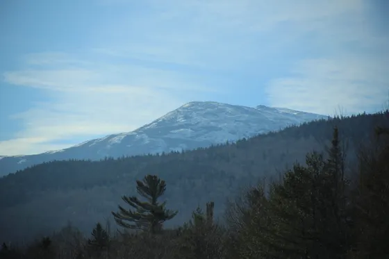
At its center is Mount Washington (6,288 feet), the highest summit in the Northeast and home to some of the worst weather in the world. The observatory has clocked a 231 mph wind gust, and sudden whiteouts, freezing temperatures, and storms can roll in any month of the year. Hikers have died of exposure here, so this is a route you treat with real respect.
Very fit hikers do the whole traverse in one extremely long day, but most people split it over 2 to 3 days using the AMC high huts at Madison Spring and Lakes of the Clouds, which you reserve through the Appalachian Mountain Club. It is a one-way hike, so you arrange a shuttle or leave a second car at Crawford Notch. The best window is late June through September; snow and ice are possible into June and from October on.
The AMC high huts at Madison Spring and Lakes of the Clouds are the only sheltered overnight options on the ridge and book up far ahead for summer weekends, so reserve through the Appalachian Mountain Club as early as you can. Before you go, check the Mount Washington Observatory higher-summits forecast, and remember bail-out options are limited once you are committed to the ridge. Carry full layers, weather gear, plenty of water, and a headlamp every single day.


Appalachia trailhead to Madison Spring · Madison & Adams
Start at the Appalachia trailhead on Route 2 in Randolph, the standard northern end of the traverse. The climb up the Valley Way is relentless and gains thousands of feet through the forest before you break out of the trees near the AMC Madison Spring hut, tucked in the col between Mounts Madison and Adams. Drop your overnight gear here, because you reserve this hut through the Appalachian Mountain Club well ahead.
From the hut, scramble up Mount Madison (5,367 feet) for your first big summit and a view straight down the entire Presidential ridge you are about to walk. If weather and energy allow, tag Mount Adams (5,793 feet), the second-highest peak in New Hampshire, on a short out-and-back before returning to Madison Spring for the night. Check the Mount Washington Observatory higher-summits forecast before you commit to any exposed summit, and turn back if the weather turns.
- ~3.8 mi · steep forest climb · gains the col below the summits
- 5,367 ft · short rocky scramble from the hut · ridge-long views
- 5,793 ft · 2nd-highest in NH · short out-and-back, weather permitting
- Reserve through the Appalachian Mountain Club · books far ahead
- Reserve the Madison Spring hut through the Appalachian Mountain Club as early as you can; summer weekends sell out months ahead.
- The Valley Way is the most sheltered route to the hut, a good choice if weather is marginal up high.
- Save Madison and Adams for when the weather is clear. Both summits are fully exposed, and the hut makes an easy base to wait out a bad window.
Across the ridge · Jefferson, Washington & Lakes of the Clouds
This is the heart of the Presidential Traverse, a long, fully exposed day along the alpine ridge with no real shelter between huts. From Madison Spring you traverse the rocky tablelands over Mount Jefferson (5,712 feet), following the cairns that mark the way when clouds close in, before the long pull up to the highest point in the Northeast.
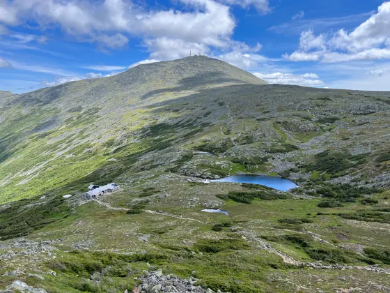
Mount Washington (6,288 feet) is the centerpiece and the most dangerous stretch of the trip. The summit has some of the worst weather on Earth, with a record 231 mph wind gust and the very real chance of freezing temperatures and a whiteout any month of the year. If the higher-summits forecast is bad, do not go up; the weather kills hikers here. From the summit it is a short, steep descent to the AMC Lakes of the Clouds hut, the highest hut in the system, where you spend the night.
- 5,712 ft · rocky alpine tablelands · follow the cairns
- 6,288 ft · highest in the Northeast · worst weather in the world
- Mount Washington Observatory · turn back if it is bad above treeline
- Highest AMC hut · reserve through the Appalachian Mountain Club
- This ridge is exposed for miles with no shelter. Carry full layers, weather gear, plenty of water, and a headlamp, even on a clear morning.
- Mount Washington's weather can turn from sunny to a freezing whiteout in minutes. If the higher-summits forecast is bad, skip the summit; people have died of exposure here.
- Follow the cairns carefully across the tablelands. In cloud it is easy to lose the route, and bail-out options off the ridge are limited.
Monroe, Eisenhower & Pierce · down to Crawford Notch
The final day is the gentlest stretch of the traverse, rolling south over the lower Southern Presidentials. From Lakes of the Clouds you climb Mount Monroe (5,372 feet) right above the hut, then continue over the broad dome of Mount Eisenhower (4,780 feet) and Mount Pierce (4,310 feet), with the ridge slowly dropping back toward the treeline.
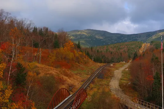
From Mount Pierce, the Crawford Path descends through the forest to your finish at Crawford Notch on Route 302. Getting home: because this is a one-way hike, you need a shuttle or a second car waiting here, roughly an hour by road back to the Appalachia trailhead where you started. From Crawford Notch it is about 1.5 hours to Manchester (MHT) or roughly 2 hours to Portland (PWM), so plan your pickup and drive out with daylight to spare.
- 5,372 ft · rises right above Lakes of the Clouds hut
- 4,780 ft & 4,310 ft · the gentler Southern Presidentials
- Long forest descent to Route 302 · the traverse finish
- Shuttle or second car at Crawford NotchOne-way hike · arrange a ride ~1 hr back to the Appalachia trailhead
- Because the traverse is point-to-point, sort out a shuttle or leave a second car at Crawford Notch before you start. It is about an hour by road from the Appalachia trailhead.
- The Southern Presidentials are gentler, but you are still above treeline on Monroe and Eisenhower, so keep watching the weather until you drop back into the forest.
- From Crawford Notch it is roughly 1.5 hours to Manchester (MHT) or about 2 hours to Portland (PWM). Plan your pickup and airport drive with daylight in hand.

Now build your Presidential Traverse.
You've seen all three days. Open the free drag-and-drop planner and tune it for your dates, your pace, and whether you base in Gorham or North Conway before and after the ridge.
What we actually learned on the ridge.
Respect Mount Washington's weather
Mount Washington has some of the worst weather in the world, with a record 231 mph wind gust and the chance of freezing temperatures and whiteouts any month of the year. Hikers have died of exposure here. Check the Mount Washington Observatory higher-summits forecast before you go and turn back if it is bad.
Reserve the AMC high huts early
Madison Spring and Lakes of the Clouds are the only sheltered overnight stops on the ridge, and you reserve them through the Appalachian Mountain Club. Summer weekends book up far ahead, so lock in your dates as early as you can or plan around what is available.
It is a one-way hike, so plan the logistics
The traverse runs point-to-point from the Appalachia trailhead to Crawford Notch, about an hour apart by road. Arrange a shuttle or leave a second car at the finish before you start, because there is no easy way to loop back to where you parked.
Pack full layers and weather gear
Most of this route is above treeline and fully exposed. Carry insulating layers, a wind and rain shell, hat and gloves, plenty of water, food, and a headlamp every day, even when the forecast looks fine. Conditions on the ridge change fast.
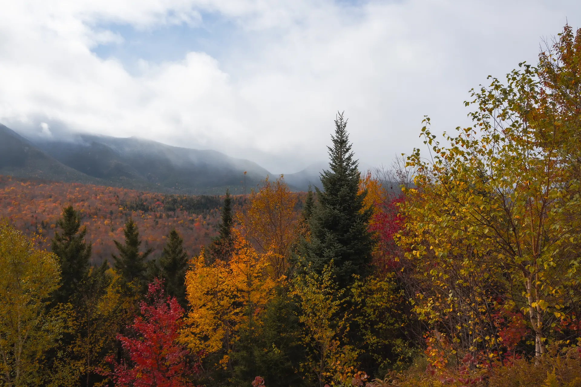
Go late June through September
The reliable window is late June through September, when the huts are staffed and the worst of the snow and ice is gone. Snow and ice are possible into June and again from October, which turns the traverse into a serious mountaineering route rather than a hike.
Know your bail-out options
Bail-out trails off the ridge are limited and often long and steep, dropping toward Pinkham or Crawford Notch. Study them before you go so you know your escape routes, and do not count on cell service once you are committed to the alpine ridge.
Everything you'll actually want to know.
Ready to go? Get your
Presidential Traverse route.
Trailheads and mileages, which AMC huts to reserve, the one-way shuttle logistics, the weather forecast you must check, and drive times from Manchester and Portland to hike the Presidential Traverse safely.
Instant book · Free cancellation · Secure payment via Stripe

Planning this trip?
Save it, share it with your crew, or find travelers heading the same way.

Liked this itinerary?
What other travelers are saying
Be the first to leave a tip or question for the next traveler.