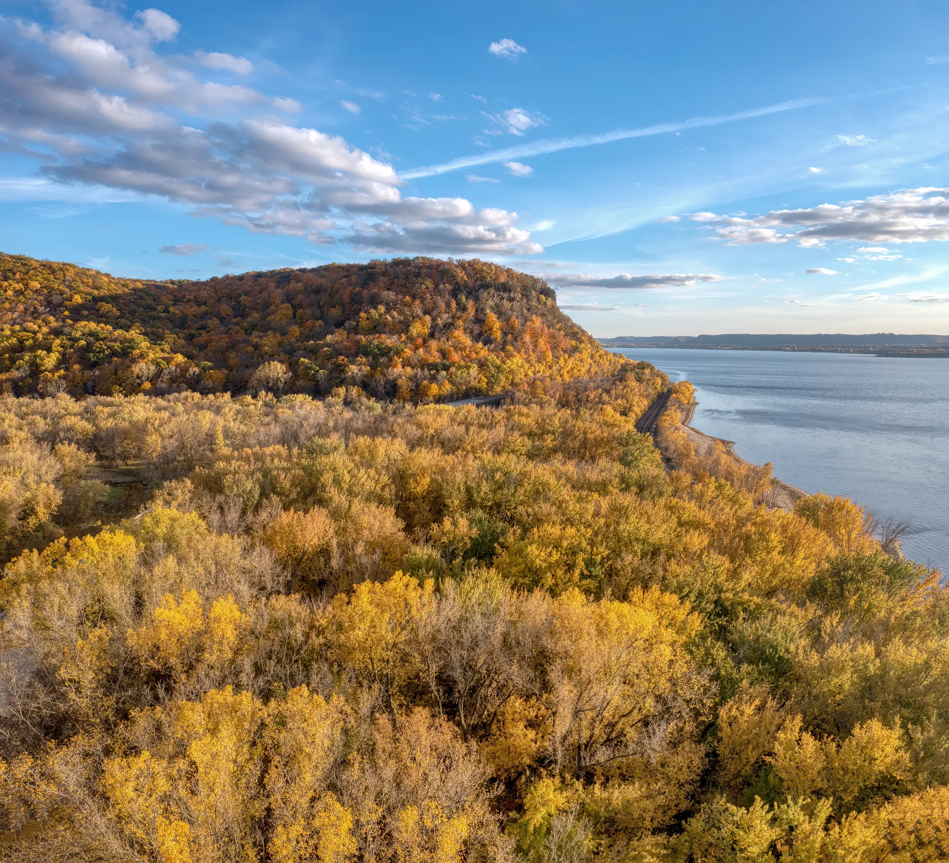
Missouri Is Not Flat
The northern third of the state is farmland. Everything south of the Missouri River is the Ozark Plateau, cut by clear spring-fed rivers into a landscape of limestone bluffs, sinkholes, caves and hollows. In the southeast corner, the St. Francois Mountains are the exposed cores of ancient volcanoes, made of 1.5-billion-year-old rhyolite and granite that was old when the Appalachians formed.
The elevation is modest. The relief, on the ground, is not.
The St. Francois Mountains
1. Mina Sauk Falls, Taum Sauk Mountain State Park
3-mile loop, moderate. The best day hike in the state. It leaves from the parking area at the summit of Taum Sauk Mountain, 1,772 feet, the Missouri high point, which is itself a quarter-mile paved stroll from the car.
The loop drops through boulder fields to Mina Sauk Falls, which cascades 132 feet down a rhyolite face in a series of drops. It is the tallest waterfall in Missouri, and it is seasonal. Come in March or April, or after heavy rain, or you will walk to a dry cliff.
Continue a few hundred yards past the falls on the Ozark Trail to reach Devil's Tollgate, a passage eight feet wide and thirty feet high cut through solid rock.
2. Johnson's Shut-Ins State Park
0.5-mile boardwalk, easy; 13 miles one way on the Ozark Trail connector. The Black River funnels through a narrow gorge of blue-grey rhyolite, carving potholes, chutes and plunge pools. In summer it is a swimming hole with a queue, and the park runs a timed entry system for the shut-ins on busy days.
The boardwalk is short and accessible. The serious option is the Ozark Trail section that runs 13 miles from here to Taum Sauk, which makes an excellent overnight with a car shuttle.
3. Elephant Rocks State Park
1-mile paved Braille Trail, easy. A field of red granite boulders rounded by weathering, the largest of them about 27 feet tall and estimated at 680 tons. The paved loop is genuinely accessible and there is an old quarry pond at the far end. It takes an hour and children lose their minds over it.
4. Bell Mountain Wilderness
12-mile loop, strenuous. The wildest feeling walk in the region. Open glades near the top give long views across the St. Francois range, and the trail is rocky, poorly shaded in places and lightly maintained. Water is unreliable. Good backpacking overnight.
The Sandstone Country
5. Whispering Pine Trail, Hawn State Park
10-mile double loop, moderate; 6-mile north loop alone. Sandstone canyons, shortleaf pine, and Pickle Creek running over pink granite. It is often called the prettiest state park in Missouri and the claim holds up. The north loop is the one to do in a day.
6. Trail Through Time, Pickle Springs Natural Area
2-mile loop, easy to moderate. Eighty acres of sandstone hoodoos, box canyons, a double arch and a slot called The Slot. It packs more distinct rock formations into two miles than anywhere else in the state. Cold air drains into the canyons and holds northern plants that should not survive this far south.
The Springs and Rivers
7. Ozark National Scenic Riverways
The Current and Jacks Fork were protected in 1964, the first national park area created to protect a river system. Big Spring near Van Buren discharges an average of 286 million gallons a day and is one of the largest single-outlet springs in the world. Short trails run to Big Spring, Alley Spring and Round Spring, and the long-distance walking is on the Ozark Trail's Current River section.
8. Devil's Backbone Wilderness
Roughly 13 miles of trail, moderate. Twelve thousand acres in the Mark Twain National Forest along the North Fork River, with Blue Spring and Amber Spring on the route. Horse traffic shares some of it. Quiet, remote, and good in November when the leaves are down and the views open up.
9. Ha Ha Tonka State Park
15 miles of trail across the park, mostly short loops. A burned-out stone castle on a bluff over the Lake of the Ozarks, plus a natural bridge 70 feet high, a collapsed cavern called the Colosseum, and a spring that puts out 48 million gallons a day. The Colosseum and Devil's Kitchen trails cover the best of it in about two miles, with a long boardwalk stair to pay for it.
Near the Cities
10. Rock Bridge Memorial State Park, Columbia
Devil's Icebox boardwalk, under a mile; Gans Creek Wild Area, 7 miles of trail. A natural rock bridge you walk under, a sinkhole and a cave system, twenty minutes from downtown Columbia. The Gans Creek side is the real hiking, with bluffs above the creek.
11. Lewis and Clark Trail, Weldon Spring
8.2-mile loop, moderate. The best long walk within an hour of St. Louis, above the Missouri River bluffs in the Weldon Spring Conservation Area. Runners use it hard on weekends. Combine it with the paved Katy Trail below for a longer day.
12. Katy Trail
240 miles, flat. The longest developed rail-trail in the country, running most of the width of the state on the old Missouri-Kansas-Texas roadbed, much of it directly under the Missouri River bluffs. Crushed limestone, gentle grade, and better on a bike than on foot, though the Rocheport and Hartsburg sections make good flat walks.
The Ozark Trail
About 400 miles complete and signed, running from near St. Louis southwest through the Ozarks toward the Arkansas line, with a long-term plan to reach 500 miles and link with the Ozark Highlands Trail.
Nobody thru-hikes it casually. The way people use it is section by section: Taum Sauk, Bell Mountain, Karkaghne, Blair Creek, Current River. Each section is a two or three-day trip with a shuttle, and the trail association publishes the maps.
Seasons, Honestly
October is the best month. Oak and hickory colour peaks mid to late in the month, the humidity breaks and the trails dry out.
March and April are for waterfalls and wildflowers. Mina Sauk, Rocky Falls and the shut-ins all need water to be worth the drive, and that water is gone by June most years.
June through August is hot, humid and thick with insects. Hike early, hike to swimming holes, or do not hike.
Winter is underrated. No ticks, no leaves, long views off the glades, and ice on the bluff seeps.
The Two Things That Will Actually Bother You
Ticks. Lone star ticks are abundant from April to October and Missouri reports among the highest rates of tick-borne illness in the country. Treat clothing with permethrin before the trip, not on the trail. Check afterwards, thoroughly.
Chiggers. Peak in July and August, particularly in tall grass and glades. Long trousers and permethrin again.
Copperheads are common on the rocky glades. They are not aggressive. Step on rocks rather than over them, and look before reaching up on a scramble.
Hiking Trails in Missouri: 12 Trails That Justify the Drive FAQs
Mina Sauk Falls Trail at Taum Sauk Mountain State Park, a 3-mile loop that passes the state high point and the tallest waterfall in Missouri at 132 feet. Walk it in spring when the falls are running.
About 400 miles are complete and signed across southern Missouri, with a planned build-out toward 500 miles that would eventually link to the Ozark Highlands Trail in Arkansas. Most people hike it in sections.
Taum Sauk Mountain at 1,772 feet, in the St. Francois Mountains. The summit is a quarter-mile paved walk from the parking lot, which makes it one of the easiest state high points in the country.
October for colour and dry trails, and March into April for waterfalls and wildflowers before the leaves close in. July and August are humid, buggy and worth avoiding unless you are hiking to swim.
Yes, and in quantity from April through October. Lone star ticks are the common one. Treat clothing with permethrin, tuck trousers into socks and check thoroughly afterwards. Chiggers are the other seasonal nuisance.
Copperheads are common on rocky glades and along bluff edges, and timber rattlesnakes exist in the southern counties. Bites are rare. Watch where you put your hands on scrambles and step onto rocks rather than over them.
Yes. The worked day-by-day plan is Arkansas 10-Day Outdoor Circuit: Ozarks to Ouachitas (10 Days), with the permits, the stays and the drive times already sorted. Tell us your dates and we will put it together for you and confirm what is genuinely open on those days. Asking is free: no card, no deposit, and nothing is held until you say yes.