The Misunderstanding
People say their phone does not work in the mountains. Two different things are being described and only one of them is true.
GPS works everywhere. It is a one-way signal from satellites. Your phone receives it in a canyon, in a wilderness, in airplane mode, with no carrier at all. It knows where it is.
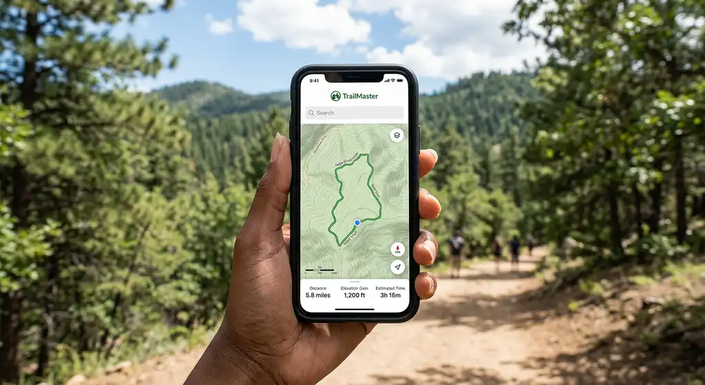
The map does not. Map tiles stream from the internet. With no signal there is nothing to stream, so you get a correct blue dot floating on a grey rectangle.
The fix is downloading the map area before you leave service, and it takes about ninety seconds.
How to Download, App by App
AllTrails
Offline maps are part of the paid AllTrails+ tier, not the free one. Open the trail, use the download option, and do it while you still have bars. It does not happen automatically when you press record, which is where people get caught.
What AllTrails is genuinely good at is finding a trail near you with photos and recent condition reports. What it is weaker at is anything off a named trail, because the map underneath is thinner than a topo app's.
Gaia GPS
Select an area, pick your layers, download. The free tier covers the base topo layers and is enough for most day hiking. The paid tier adds the layers that matter for backcountry work: land ownership, motor vehicle use, slope angle, historic USGS quads and National Geographic sheets.
Download each layer you want. Downloading the road map and expecting contours to appear is a common surprise.
Avenza Maps
Free, and the reason to have it is that agencies publish georeferenced PDFs. The National Park Service, the Forest Service and many state parks put out official maps you can load and then see your own position on, offline, at no cost.
This is the best free option nobody uses.
Organic Maps and OsmAnd
Both free and open source, both built on OpenStreetMap, both fully offline once a region is downloaded. Trail coverage varies by how much local mapping has been done, which in the western United States is often surprisingly good.
Google Maps
Downloads a rectangle for offline driving. Roads, towns and fuel, not trails. It is the layer for getting to the trailhead, not the one for the walk.
Battery, Which Is the Real Failure
Navigation almost never fails because the app was wrong. It fails because the phone died.
- Airplane mode. A phone with no signal burns power hunting for a tower. Airplane mode stops that and GPS still works.
- Screen off. The display is the drain, not the receiver. Check position and put it away.
- Keep it warm. Lithium batteries lose capacity fast in the cold and a phone can drop from 40 percent to dead in minutes at altitude. Inside jacket, not outside pocket.
- Carry a bank. A small one covers a weekend. Anything longer, size it for the days between charging.
What to Carry Beyond the Phone
For a marked day trail with other people on it, a downloaded map and a charged phone is a reasonable system.
Past that, the phone becomes one item in a set rather than the whole plan:
- Downloaded digital map, as the primary.
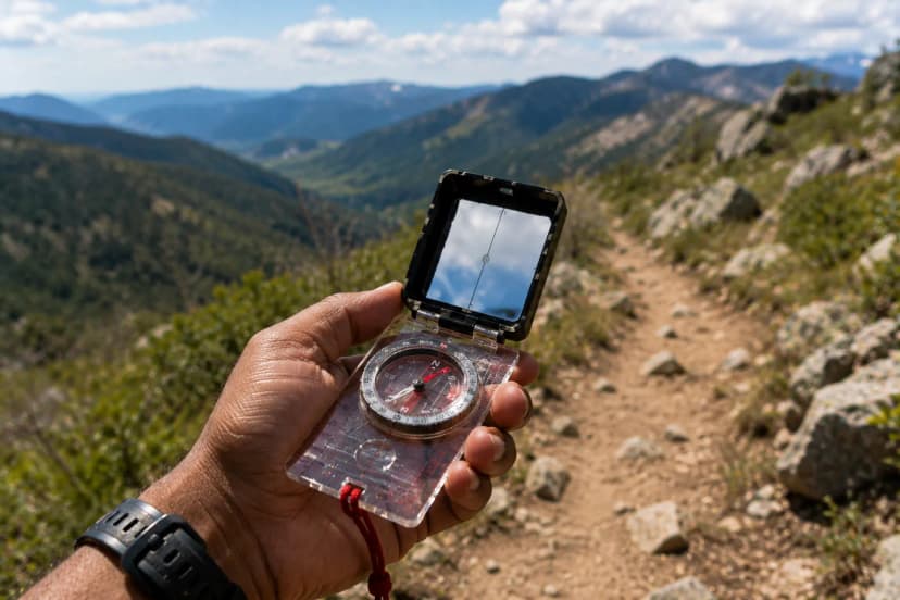
- A paper map and a compass, and the ability to use them together. A compass you have never taken a bearing with is a decoration.
- A satellite messenger for anything remote or solo. Phones now do emergency satellite texting in some regions, which is a genuine improvement, but a dedicated device works where the phone does not.
- A plan somebody else has, with your route and your expected return. This is free and it is the item that most often ends a search quickly.
Before You Leave the Car Park
A four-item check that takes a minute:
- Map area downloaded, and you have opened it once in airplane mode to prove it.
- Phone at full charge, battery bank in the pack.
- Paper map in a pocket you can reach in the rain.
- Someone knows the route and when to worry.
Everything after that is walking.
Offline Maps for Hiking: How to Not Lose the Map When You Lose Signal FAQs
Yes. GPS is a one-way signal from satellites and your phone receives it whether or not there is a cell tower anywhere. What needs the internet is the map tiles underneath your position, which is why the blue dot floats on a grey screen.
Yes, but downloading maps for offline use is a paid feature on AllTrails+ rather than the free tier. Download the specific trail while you still have signal; the download does not happen automatically when you start recording.
Gaia GPS downloads its base topo layers on the free tier, Organic Maps is entirely free and open source with full offline use, and Avenza is free and holds georeferenced PDF maps including the National Park Service's own maps.
Search the area, open the menu, choose Offline maps and select your own map, then adjust the rectangle and download. It covers roads and towns rather than trails, so treat it as the driving layer, not the hiking one.
Less than people think if the screen stays off. Airplane mode stops the phone burning power hunting for a tower it will not find, and GPS still works in airplane mode. The screen is what drains the battery, not the receiver.
On anything remote, yes. A phone in the cold can go from 40 percent to nothing in minutes, and a wet phone is finished. A paper map and a compass weigh almost nothing and have no failure mode you have not already planned for.
Yes. The worked day-by-day plan is Olympic Peninsula Loop: 3-Day Pacific Northwest Road Trip (3 Days), with the permits, the stays and the drive times already sorted. Tell us your dates and we will put it together for you and confirm what is genuinely open on those days. Asking is free: no card, no deposit, and nothing is held until you say yes.