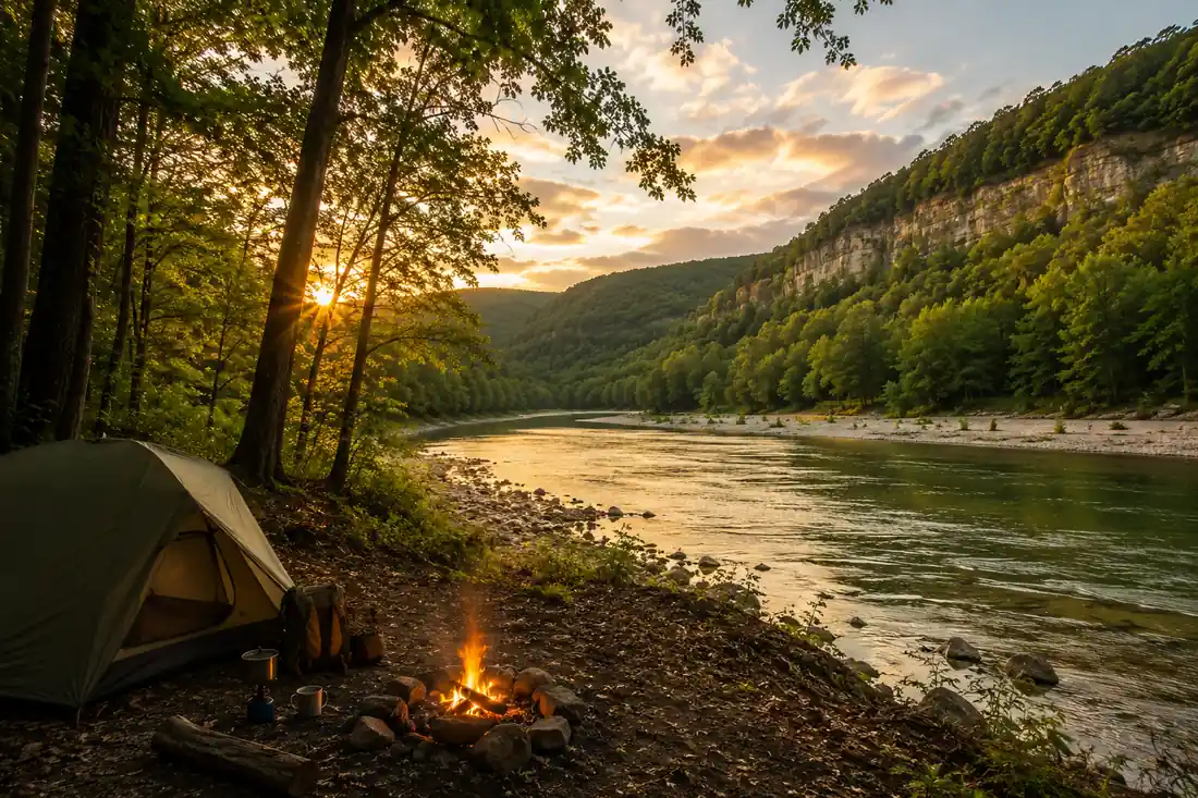
Best Hikes in Arkansas: 12 Trails by Region
The best hikes in Arkansas are Whitaker Point (Hawksbill Crag), Hemmed-In Hollow, Lost Valley, and the Buffalo River Trail in the Ozarks and Buffalo River country, Devil's Den State Park in Northwest Arkansas, Pinnacle Mountain near Little Rock, the Hot Springs Mountain and Sunset trails inside Hot Springs National Park, and the long-distance Ouachita National Recreation Trail. Beginners should start with Lost Valley and the Hot Springs Mountain Trail. Strong hikers should aim for Hemmed-In Hollow, the West Summit of Pinnacle Mountain, and the Ouachita Trail.
Arkansas hides some of the best hiking in the American South, and most of it is a short drive from a waterfall, a bluff-top overlook, or a swimming hole. The state splits neatly into two mountain ranges, the Ozarks in the north and the Ouachitas in the west, with the Buffalo National River threading between them. This guide rounds up the best hikes in Arkansas by region, flags which trails suit beginners and which are strenuous, and points you to the best places to hike near Hot Springs. When you are ready to string these trails into a trip, our Arkansas 10 day outdoor circuit and our Buffalo National River weekend lay it out day by day.
Ozarks and Buffalo River hikes
The Ozark Mountains and the Buffalo National River hold the most famous Arkansas hikes, with sandstone bluffs, hidden hollows, and the tallest waterfall between the Rockies and the Appalachians. This is the region most people mean when they ask for the best places to hike in Arkansas.
1. Whitaker Point (Hawksbill Crag)
If you hike only one trail in Arkansas, make it Whitaker Point, better known as Hawksbill Crag. The roughly 3 mile round trip through the Upper Buffalo Wilderness ends on a curved beak of rock that hangs over an ocean of Ozark forest, and it is the single most photographed spot in the state. The trail is moderate with a few rocky sections, and it is best at sunrise or on a misty morning. The gravel access road off Highway 21 near Ponca is slow, so budget extra drive time.
2. Hemmed-In Hollow
Hemmed-In Hollow is home to the tallest waterfall between the Rocky Mountains and the Appalachians, a 209 foot ribbon that pours off a natural amphitheater of bluff. The falls run hardest in spring and after rain. This one is strenuous: the walk down to the base is manageable, but the climb back out is steep and long, so save it for a day when your legs are fresh. Many hikers reach it as part of a longer Buffalo River backpacking loop.
3. Lost Valley
Lost Valley near Ponca is the best beginner hike in the Buffalo River area and one of the best short hikes in Arkansas, period. In a gentle 2.3 mile out and back you pass a series of waterfalls, a natural bridge, a bluff shelter, and Eden Falls, with an optional scramble up into a small cave at the end. It is family friendly, well marked, and best in spring when the falls are actually running. Because it is also a top hike in Northwest Arkansas, expect company on weekends.
4. The Buffalo River Trail
For distance seekers, the Buffalo River Trail follows the upper and middle river for dozens of remote miles, linking Ponca, Pruitt, and points between. You can day hike a scenic segment or backpack multiple days past bluff lines, elk meadows, and gravel bars. It is strenuous where it climbs away from the water, and remote enough that you should carry a map and plenty of water. Our Buffalo National River weekend picks the best short segments for a two day trip.
Best places to hike near Hot Springs, Arkansas
Hot Springs is the rare town where you can summit a small mountain in the morning and soak in a historic bathhouse by afternoon. The best places to hike in Hot Springs, Arkansas all sit inside Hot Springs National Park, which wraps right around the downtown, so trailheads are minutes from Bathhouse Row.
5. Hot Springs Mountain Trail
The Hot Springs Mountain Trail is the classic in-town hike, a well graded loop that climbs through hardwood forest to the Hot Springs Mountain Tower, where an observation deck opens up over the Ouachitas. It is beginner friendly and can be linked with the shorter Peak and Honeysuckle trails for a bigger loop. Start from the top of Fountain Street or Bathhouse Row.
6. Sunset Trail
The Sunset Trail is the longest and most rugged route in Hot Springs National Park, running about 10 miles across Music Mountain, the park's high point, and West Mountain. You can tackle it in sections from several trailheads or take on the full traverse for a strenuous day. The West Mountain overlooks deliver the best long views in the park, and the trail stays surprisingly wild for something so close to downtown.
7. Gulpha Gorge
On the east side of the park, the Gulpha Gorge campground is the launch point for shaded creekside walking and connectors that climb toward Hot Springs Mountain. The Gorge and Dogwood trails give you a cool, green, moderate hike along the creek, a welcome option on a hot Arkansas afternoon and an easy add-on for campers staying in the park.
Central Arkansas: Pinnacle Mountain near Little Rock
Just west of Little Rock, Pinnacle Mountain State Park is the go-to hike for central Arkansas and one of the most popular in the state.
8. Pinnacle Mountain
Pinnacle Mountain rises 1,000 feet in a near perfect cone above the Arkansas River valley. The West Summit Trail is a short but steep and rocky scramble to the top, strenuous enough to feel earned, with a panorama over Little Rock and the Ouachitas as the reward. The East Summit is even rockier. If you want an easy day instead, the flat Base Trail loops the mountain, and the nearby Kingfisher and Arkansas Arboretum trails are gentle and stroller friendly.
Northwest Arkansas hikes
The best places to hike in Northwest Arkansas cluster around Fayetteville, Bentonville, and the state parks of the Boston Mountains, a booming region for both trails and mountain biking.
9. Devil's Den State Park
Devil's Den State Park near West Fork is the crown jewel of Northwest Arkansas hiking. The Devil's Den Trail is a moderate 1.5 mile loop past sandstone bluffs, crevices, and small caves along Lee Creek, and the Yellow Rock Trail climbs about 3 miles to a bluff-top overlook that is one of the best in the region. The park sits in a rugged valley of the Boston Mountains and stays cool and green even in summer.
10. Lost Valley (again, and worth it)
Lost Valley near Ponca counts as both a Buffalo River hike and one of the top hikes in Northwest Arkansas, since it is an easy drive from Fayetteville. See the Ozarks section above for the details. If you are basing yourself in Northwest Arkansas and want maximum scenery for minimum effort, this is the trail to prioritize.
11. Fayetteville and Bentonville trails
Around the towns themselves, Mount Kessler and Kessler Mountain near Fayetteville offer wooded loops and overlooks, while the paved Razorback Greenway links Fayetteville, Springdale, Rogers, and Bentonville for flat, family friendly walking and biking. Coler and Slaughter Pen in Bentonville add miles of easy nature trails woven through the mountain bike parks.
The Ouachita National Recreation Trail
For the most ambitious hikers, the Ouachita National Recreation Trail is Arkansas at its wildest.
12. Ouachita Trail
The Ouachita National Recreation Trail runs about 223 miles from Pinnacle Mountain near Little Rock west across the Ouachita Mountains into Oklahoma. Thru-hikers take two to three weeks, but the trail shines for section hikers too: pick a stretch near Lake Ouachita, the Flatside Wilderness, or Talimena for a strenuous day or a weekend backpack through pine ridges and hardwood hollows. Spring and fall are ideal, and much of the trail is remote, so plan water and resupply carefully. Our Arkansas 10 day outdoor circuit works a Ouachita segment into a bigger loop.
Beginner vs strenuous: how to choose
- Best for beginners: Lost Valley, the Hot Springs Mountain Trail, the Devil's Den Trail loop, and the Base Trail at Pinnacle Mountain. Short, well marked, and big on scenery.
- Moderate: Whitaker Point (Hawksbill Crag), the Yellow Rock Trail at Devil's Den, and the Gulpha Gorge connectors.
- Strenuous: Hemmed-In Hollow, the Sunset Trail, the West Summit of Pinnacle Mountain, and any multi-day stretch of the Buffalo River Trail or the Ouachita Trail.
Plan your Arkansas hiking trip
Ready to link these trails into a real trip? Our Buffalo National River weekend is the fastest way to sample the Ozarks and hit Whitaker Point, Hemmed-In Hollow, and Lost Valley in two days. For a bigger loop that folds in Hot Springs, Pinnacle Mountain, and a Ouachita Trail segment, the Arkansas 10 day outdoor circuit maps out the drive, the trailheads, and where to sleep along the way.
Best Hikes in Arkansas: 12 Trails by Region FAQs
The single most celebrated hike in Arkansas is Whitaker Point, also called Hawksbill Crag, a roughly 3 mile round trip in the Upper Buffalo Wilderness that ends on a curved beak of rock jutting over the Ozark forest. It is the most photographed spot in the state. If you want something even easier, Lost Valley near Ponca packs waterfalls, a natural bridge, and a cave into a gentle 2.3 mile out and back, and it is the best beginner hike in the Buffalo River area.
The best places to hike in Hot Springs, Arkansas are all inside Hot Springs National Park and its surrounding city trails. Hike the Hot Springs Mountain Trail to the observation tower, loop the Sunset Trail for the park's longest and most rugged route at about 10 miles, or start from the Gulpha Gorge campground for shaded creekside walking. Most trailheads sit within a few minutes of the historic Bathhouse Row downtown, so you can pair a morning hike with an afternoon soak.
The best places to hike in Northwest Arkansas center on Devil's Den State Park near West Fork, where the Devil's Den Trail loops past bluffs, crevices, and Lee Creek in about 1.5 miles, and the longer Yellow Rock Trail earns a bluff-top overlook. Lost Valley near Ponca and the Kessler Mountain and Mount Kessler trails near Fayetteville round out the region, and the paved Razorback Greenway links several towns for easy flat walking.
For beginners, start with Lost Valley near Ponca (2.3 miles, gentle, with waterfalls and a cave), the Hot Springs Mountain Trail (short and well graded), the Devil's Den Trail loop (1.5 miles), and the base trails at Pinnacle Mountain State Park near Little Rock. These deliver big Ozark and Ouachita scenery without steep exposure or long mileage. Save the Sunset Trail, the West Summit of Pinnacle Mountain, and any section of the Ouachita Trail for when you want a real workout.
The most strenuous day hikes in Arkansas are the Hemmed-In Hollow Trail down to the tallest waterfall between the Rockies and the Appalachians (the falls are easy to reach, but the climb back out is steep and long), the rocky West Summit route up Pinnacle Mountain near Little Rock, and any multi-day stretch of the Ouachita National Recreation Trail, which runs about 223 miles across the Ouachita Mountains. The Buffalo River Trail also strings together long, remote miles for backpackers.
Spring and fall are the sweet spots. March through May brings full waterfalls, wildflowers, and moderate temperatures, which is peak season for Buffalo River hikes like Hemmed-In Hollow and Lost Valley. October and early November light the Ozark and Ouachita forests with color. Summer is hot and humid with highs in the 90s Fahrenheit, so hike early and stick to shaded creek trails or the swimming holes along the Buffalo. Winter is quiet, mild, and excellent for long-distance walking on the Ouachita Trail.
Yes. The worked day-by-day plan is Arkansas 10-Day Outdoor Circuit: Ozarks to Ouachitas (10 Days), with the permits, the stays and the drive times already sorted. Tell us your dates and we will put it together for you and confirm what is genuinely open on those days. Asking is free: no card, no deposit, and nothing is held until you say yes.