Little Missouri River Canoe Trip: 5 Days from Medora to Long X Bridge
Five days on the river Roosevelt called the Bad Lands, and nobody else on it.
107.5 river miles through the North Dakota badlands, from the South Unit past Roosevelt's Elkhorn Ranch to the North Unit. Four nights camped on the river, and only in the spring high water that makes it floatable.
“I’ve requested to book a Chain Lakes Loop guide on ExplorOFF, and it was the best idea ever! I highly recommend going with their guided option since you get a real human connection on the trail and don’t have to worry about a thing. Yulia was great to talk to!”




 17 stops on a real mapEvery stop pinned in order→
Little Missouri River: every stop pinned in order.
Little Missouri River · Medora to Long X Bridge · 107.5 river miles
Every stop on this trip, in order, opens as one driving route in the Google Maps app. No copying addresses across one at a time.
Plan and book your 6 days in Little Missouri River, one step at a time
- The Little Missouri at Medora is running about 18 cfs (gauge 1.22 ft). The park wants at least 2.5 ft (699 cfs) for fair boating, so the river is far too low to float right now. Plan this trip for May or June and check the gauge the week you go. Source
- The park says May and June are usually the best months, that some years the river never gets deep enough, and that a summer thunderstorm can raise it with little or no warning. Source
- The Forest Service lists highway construction near CCC Campground in summer 2026, which may slow the drive to the CCC Campground take-out by Long X Bridge and your shuttle. Source
- Theodore Roosevelt National Park is cashless since May 1, 2026, and Cottonwood and Juniper campground sites are now reservation only on Recreation.gov. Floaters camping on the river need only the free backcountry permit. Source
- A Forest Service fire restriction order covers the Little Missouri National Grassland from September 4 to December 31, 2026: no campfires, and only LPG or liquid-fuel stoves that shut off, used on ground cleared for 3 feet. Source
- Late September in Medora: highs in the 60s and 70s, nights in the 40s and 50s, and northwest gusts to 25 to 30 mph on some afternoons. Source
How 6 days in Little Missouri River split up
Plan 6 days for Little Missouri River. River miles: 107.5 mi. Difficulty: Challenging. Needs: 2.5 ft / 699 cfs. A Little Missouri River canoe trip from Medora to Long X Bridge is the one way to cross the whole of Theodore Roosevelt National Park without a road. The park puts it at about five days for 107.5 river miles: through the South Unit, past the site of Roosevelt's Elkhorn Ranch, sixty-odd miles of national grassland badlands, and into the North Unit's canyons before the take-out at CCC Campground, just above Long X Bridge on US 85.
Day 1: Medora: permit, shuttle and the gauge
4 stops · Day one
Day 2: Put in at Medora · through the South Unit (21 river mi)
3 stops · Day two
Day 3: Grassland badlands to the Elkhorn Ranch (18.5 river mi)
3 stops · Day three
Day 4: The long middle: national grassland badlands (24.5 river mi)
2 stops · Day four
Day 5: Toward the North Unit (24 river mi)
2 stops · Day five
Day 6: Through the North Unit to CCC Campground at Long X Bridge (~17.5 river mi)
3 stops · Day six
Medora: permit, shuttle and the gauge
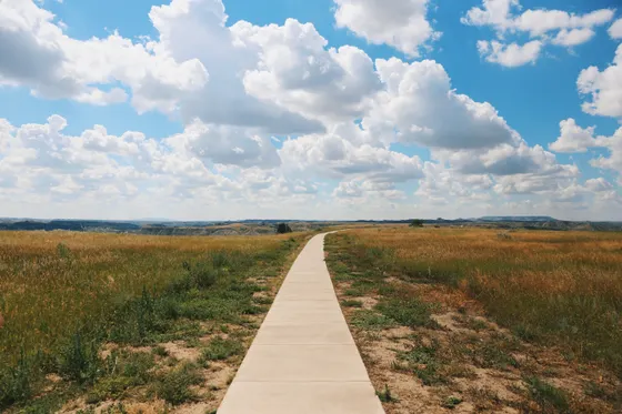
Fly into Bismarck (BIS), about 2 hours east, or Dickinson (DIK), about 45 minutes, and drive to Medora. Everything this trip depends on is sorted here today, because once you push off tomorrow there is nowhere to fix it.
Not the order you want? Drag a stop, or use the arrows beside it. Stops move between days too.
- Drive from
~2 hr · Dickinson ~45 min · DriveFly into Bismarck (BIS) and drive about 2 hours west on I-94 to Medora, or fly into Dickinson (DIK), about 45 minutes away. Medora is the last full stop for fuel, food and water before the river.
- Camping permit, South Unit Visitor Center
Free · in person · South Unit & Elkhorn Ranch · customAnyone camping overnight in Theodore Roosevelt National Park needs a free backcountry permit. The South Unit Visitor Center in Medora issues them for the South Unit and the Elkhorn Ranch Unit, which covers the one night this plan spends in the park (night 3, Elkhorn Ranch). The other three river nights are on Forest Service grassland and need no permit. Bring your route, number of nights, vehicle details and an emergency contact.
Official info → - Vehicle shuttle, Dakota Cycling Adventures
$275 for 1-4 · +$50 each · 701-575-0942 · customDakota Cycling Adventures (Dakota Cyclery) at 365 Main Street in Medora lists a one-way vehicle drop for canoeists at CCC Campground, just upstream of Long X Bridge, which is this trip's take-out: $275 for 1 to 4 people plus $50 for each additional person. Call ahead to reserve and agree the key handover. No canoe rental on the river could be verified, so this trip assumes your own boat.
- Stay in Medora
The night before the put-in · lodgeSleep in Medora the night before you launch. Fill every water container in town, check the USGS gauge one last time, and pack the boat so tomorrow starts on the water. Medora fills on Medora Musical nights in summer, so book ahead.
Put in at Medora · through the South Unit (21 river mi)
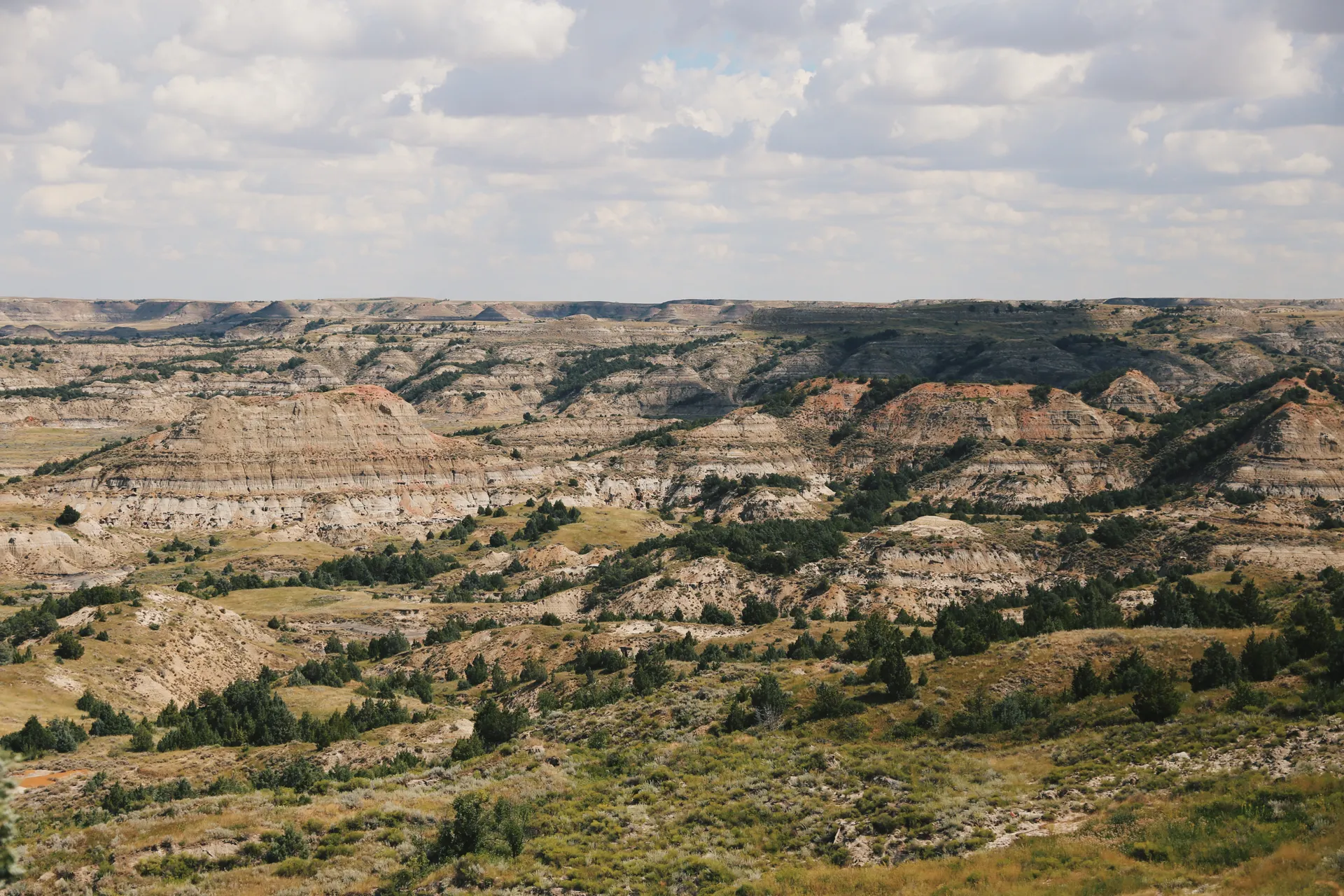
Launch at the Medora bridge, mile 0 on the park's table (Sully Creek State Park, 3 miles upstream, has water and adds a warm-up). The river slides past Cottonwood Campground at mile 3.5, the last tap until Juniper Campground four days away, and then winds through the South Unit under banded buttes, with bison on the bottoms and prairie dog towns on the terraces.
Not the order you want? Drag a stop, or use the arrows beside it. Stops move between days too.
- Put in at the Medora bridge
River mile 0 · needs 2.5 ft / 699 cfs · activityLaunch at the Medora bridge, mile 0 of the park's mileage table, beside the USGS gauge that decides whether this trip happens. The park wants at least 2.5 feet (699 cfs) for fair boating. Sully Creek State Park, 3 miles upstream, is an alternative put-in with drinking water.
Official info → - Cottonwood Campground
River mile 3.5 · last tap until mile 101.9 · ViewpointCottonwood Campground in the South Unit is 3.5 river miles below Medora and has the last drinking water until Juniper Campground in the North Unit. Stop and top off everything.
- Camp near river mile 21
National grassland · public land only · lodgeThe river leaves the South Unit around mile 11 and enters the Little Missouri National Grassland, a patchwork of Forest Service, state and private land. Camp on a Forest Service terrace near mile 21, 100 to 200 feet back from the water: dispersed camping there is free and needs no permit. Private land needs the owner's permission, and most owners along the river prohibit camping.
Grassland badlands to the Elkhorn Ranch (18.5 river mi)
A shorter day so you have time ashore. The river loops north through open grassland badlands, and in the afternoon reaches the Elkhorn Ranch Unit at about mile 39.5, the spot Theodore Roosevelt chose for his home ranch after his wife and mother died on the same day in 1884.
Not the order you want? Drag a stop, or use the arrows beside it. Stops move between days too.
- Float the grassland badlands
~18.5 river mi · open buttes · activityA shorter day through open grassland badlands, leaving time to explore ashore. Expect to step out and drag through shallow riffles even at a floatable level.
Official info → - Elkhorn Ranch cabin site
Roosevelt's home ranch · foundation stones · ViewpointTheodore Roosevelt chose this remote bend of the Little Missouri for his home ranch. Only the cabin's foundation stones remain, with exhibits quoting his writing about the place. There are no facilities, no water and no cell signal.
Official info → - Camp in the Elkhorn Ranch Unit
River mile ~39.5 · the one NPS permit night · lodgeCamp inside the Elkhorn Ranch Unit on your free backcountry permit from the South Unit Visitor Center, the only night of the trip inside the park. Park rules: at least 200 feet from the river, a quarter mile from the road and trailhead, out of sight of both. The unit has under a mile of river frontage, so watch for it from about mile 38. Stove only: fires are not permitted in the park.
The long middle: national grassland badlands (24.5 river mi)
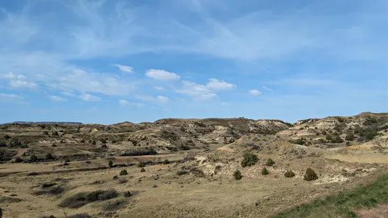
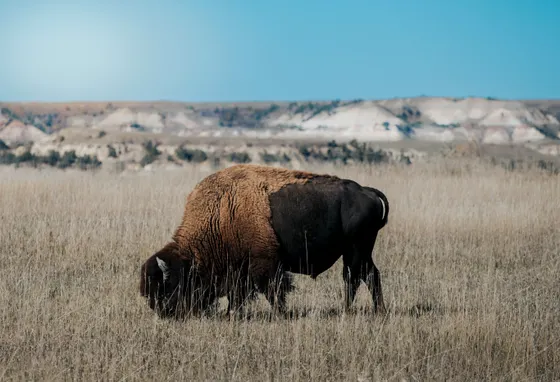
The 62.4 miles from the Elkhorn Ranch to Juniper Campground are the loneliest on the river, and today covers the first half. The Little Missouri meanders between clay buttes and cottonwood bottoms with no road in sight for hours, and the only sounds are the current on the gravel bars and meadowlarks on the prairie above.
Not the order you want? Drag a stop, or use the arrows beside it. Stops move between days too.
- Float the long middle river
~24.5 river mi · fences across the channel · activityThe 62.4 miles from the Elkhorn Ranch to Juniper Campground are the most remote on the river. The park warns that fences, some of them electrified, may be strung across the water, so watch every bend and portage around them.
Official info → - Camp near river mile 64
Forest Service grassland · no permit · lodgeCamp on Forest Service grassland near mile 64 (free, no permit), on a terrace 100 to 200 feet back from the river and well above it. Settle river water in a bucket overnight, then filter and treat it: the silt clogs filters fast.
Toward the North Unit (24 river mi)
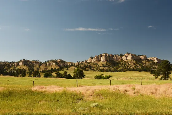
The buttes get taller and the valley narrower as the river bends east toward the North Unit. Keep an eye on the day's weather: the badlands clay turns to greasy gumbo when it rains, which makes a steep bank impossible to climb, and thunderstorms here build fast in the afternoon.
Not the order you want? Drag a stop, or use the arrows beside it. Stops move between days too.
- Float toward the North Unit
~24 river mi · taller buttes · activityThe valley narrows and the buttes rise as the river swings east toward the North Unit. Afternoon thunderstorms build fast out here, and wet badlands clay turns to slick gumbo.
Official info → - Camp near river mile 88
Outside the park · Forest Service grassland · lodgeLast camp on the river, near mile 88 and a few miles above where the river enters the North Unit (about mile 92). It is outside the park, so no NPS permit: camp on Forest Service land (free, no permit), on high ground 100 to 200 feet from the water. Tomorrow is short enough to take out and drive in daylight.
Through the North Unit to CCC Campground at Long X Bridge (~17.5 river mi)
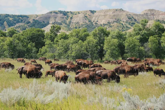
The finale is the best scenery on the river: the North Unit's deep canyons, with the Oxbow Overlook high above a big bend. At Juniper Campground, mile 101.9, you can refill water and see other people for the first time in days.
Not the order you want? Drag a stop, or use the arrows beside it. Stops move between days too.
- Juniper Campground
River mile 101.9 · drinking water · ViewpointJuniper Campground in the North Unit is the first drinking water since Cottonwood Campground. Refill before the last few miles to the CCC Campground take-out.
- Take out at CCC Campground (Long X Bridge)
~2 river mi above the US 85 bridge (mile 107.5) · activityTake out at the Forest Service's CCC Campground, a short walk from the river about 2 river miles above the US 85 bridge at Long X (mile 107.5 on the park's table). This is where Dakota Cycling Adventures leaves shuttled vehicles. Look at it before the trip so you do not float past it; if you do, the bridge is the next landmark.
Official info → - Report in and drive out
Watford City ~20 min · Williston XWA ~1 hr 20 · DriveStop at the North Unit Visitor Center, about 7 minutes north of CCC Campground across the bridge, to report your safe return (or call 701-623-4730 ext. 1422). Watford City is about 20 minutes north, Williston's airport about 1 hour 20 minutes, and Bismarck about 2 hours 30 minutes.
Book the 1 night under a roof
Most nights on this trip are in a tent. Reserve any campsite the route needs, and the room either side of it if you want one.
Tell us your dates and we will do the calling: the rooms either side, and the guided days in between. Nothing is charged and you decide at the end.
Request to bookWhat to pack for Little Missouri River
Built from this route, not a generic list. Every line says why it is here.
Water and food
On the water
Camp and safety
What you actually need to float the Little Missouri.
The gauge decides everything
The park asks for at least 2.5 feet (699 cfs) on the Medora gauge for fair boating and 2.5 to 3.5 feet (699 to 1,500 cfs) for good boating. May and June are usually the only months it gets there, and some years never do. Below that you will be walking the boat for miles.
Your own canoe and a vehicle shuttle
No outfitter we could verify rents boats on this river, so bring your own. For the shuttle, Dakota Cycling Adventures in Medora lists a one-way vehicle drop for canoeists at CCC Campground by Long X Bridge, the take-out, $275 for 1 to 4 people plus $50 each extra (701-575-0942). Otherwise run two cars and leave one at CCC Campground.
One free NPS permit night
The park requires a free backcountry permit for any night inside it. On this plan that is one night, night 3 in the Elkhorn Ranch Unit, and the permit comes from the South Unit Visitor Center in Medora (North Unit permits come from the North Unit Visitor Center). Park rules: groups of 10 or fewer, no camping within a quarter mile of roads and trailheads or within 200 feet of any water, stoves only. Bring your itinerary, vehicle details and an emergency contact, and report your safe return at the end.
Carry water or treat the river
The park lists no reliable drinking water between Cottonwood Campground (mile 3.5) and Juniper Campground (mile 101.9). The river is heavily silted, so either carry water for four days or let river water settle overnight before you filter and treat it.
Three nights on Forest Service land
Nights 2, 4 and 5 are outside the park, on the Little Missouri National Grassland. Dispersed camping on Forest Service land there is free and needs no permit for a small group: stay up to 14 days, camp 100 to 200 feet from the water, and keep away from stock tanks and oil well sites. The grassland boundary also takes in state and private land, and private ranch land needs the owner's permission; the park notes most owners do not allow camping. Carry the Forest Service map to know which bank is which.
Bison, rattlesnakes and storms
Give bison at least 25 yards. Rattlesnakes are in the park and do not always warn before striking. Summer storms can raise the river with little or no warning, so camp high and watch the sky.
Little Missouri River: questions before you go
Little Missouri River float: the questions people ask most.
The National Park Service puts it at 107.5 river miles and about five days: 3.5 miles from the Medora bridge to Cottonwood Campground, 36 to the Elkhorn Ranch, 62.4 to Juniper Campground and 5.6 to the US 85 bridge at Long X. Continuing to Lost Bridge on Highway 22 adds 40.5 miles and about two more days.
Usually only in May and June, in spring high water. The park asks for at least 2.5 feet (699 cfs) on the Medora gauge for fair boating and 2.5 to 3.5 feet (699 to 1,500 cfs) for good boating. Some years the river never reaches that, and by late summer it is often too low to float at all. Check USGS gauge 06336000 before you go.
We could not verify any outfitter renting canoes or kayaks on the Little Missouri, so plan on bringing your own boat. The shuttle is easier: Dakota Cycling Adventures in Medora lists a one-way vehicle drop for canoeists at CCC Campground by Long X Bridge.
Only for the nights you camp inside the park, and the permit is free. On this five-day plan that is one night, in the Elkhorn Ranch Unit, and the permit comes in person from the South Unit Visitor Center in Medora, which issues South Unit and Elkhorn Ranch permits; the North Unit Visitor Center issues North Unit permits. The other river nights are on Forest Service grassland, where dispersed camping is free and needs no permit. There are no established backcountry campsites in the park.
Inside the park, anywhere that meets the permit rules: at least 200 feet from the river, a quarter mile from roads and trailheads, and out of sight of them. Outside the park, on Forest Service land in the Little Missouri National Grassland, where dispersed camping is free, needs no permit and should be 100 to 200 feet from the water. Private ranch land along the river needs the owner's permission, and the park notes most owners prohibit camping. Pick a high terrace rather than a low sandbar, and never light a fire in the park.
Not without treatment, and it is heavily silted. The park lists reliable drinking water only at Sully Creek State Park, Medora and its two campgrounds, which on this route means Cottonwood (mile 3.5) and Juniper (mile 101.9). Carry water, or settle river water overnight before filtering and treating it.
Not as a five-day trip. The river is gentle at a good flow but shallow, braided, remote and fenced in places, with no services, little cell signal and water levels that can change in hours. Paddlers with multi-day river camping experience will enjoy it. Beginners should start with the 3.5-mile float from Medora to Cottonwood Campground.
Tell us your dates and we ask a local guide who works this area what they can do on your days and what it costs. If nobody is free, we tell you. Asking is free: no card, no deposit, and nothing is held until you say yes.
Pick how you want to go.
Same 6-day route. Same 10 stops.
- 1 night, a campground in Medora before and after the route
- $22
- 4 nights, free backcountry camps on the route
- Free
- A private local guide, campsites booked
- Included
- Airport pickup and every drive
- Included
- Park, permit and campsite fees paid
- Included
- All the gear and the trail meals
- Included
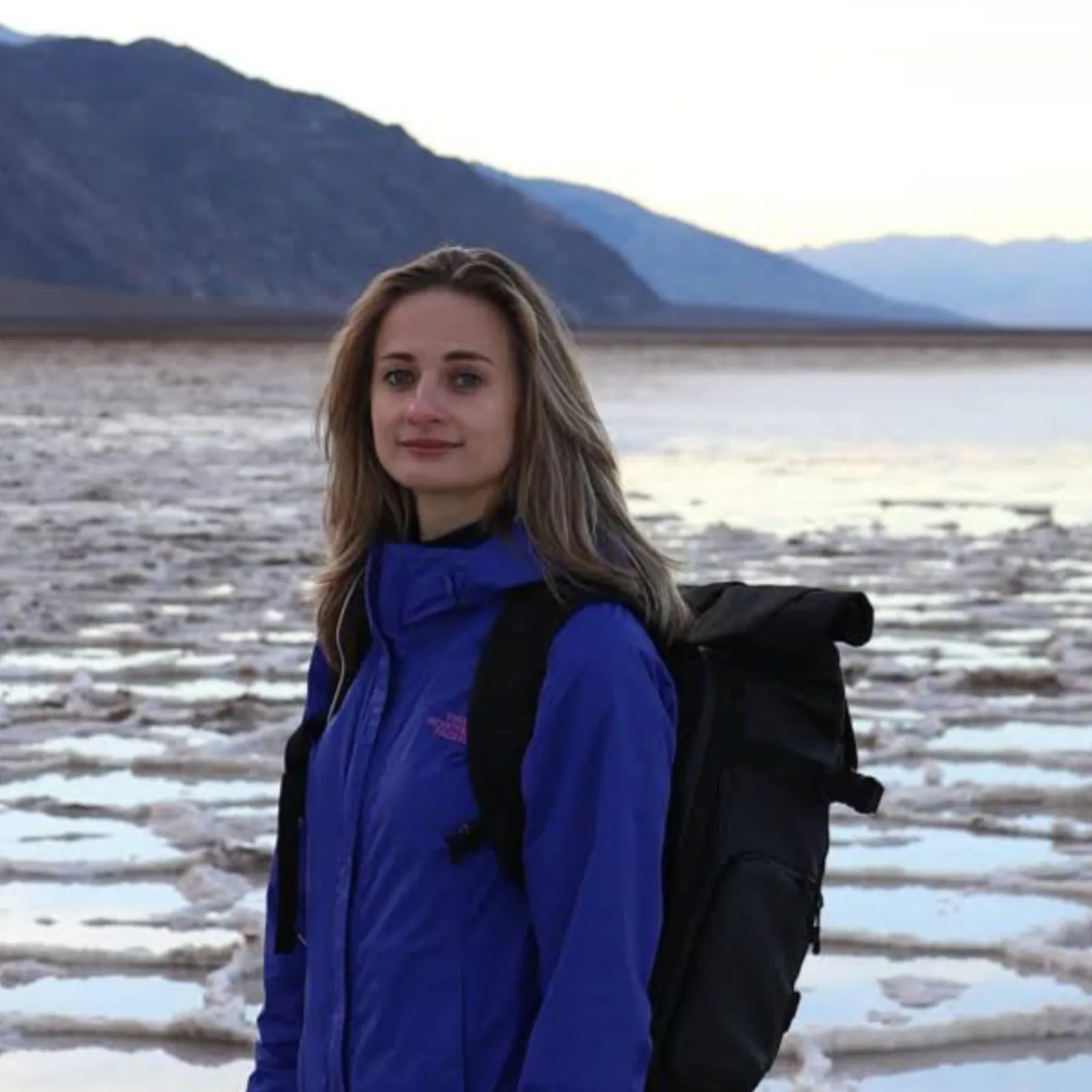
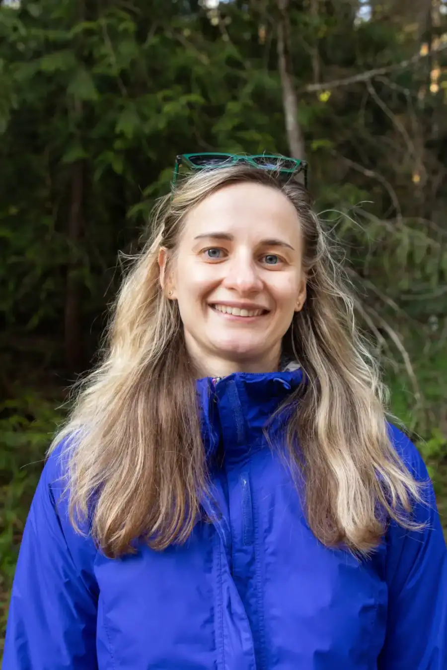
Written and walked by Yulia Vasilyeva · Co-founder · Lead planner and guide
Three years leading guided hikes in the Pacific Northwest, rated 5.0 by 20+ verified guests, and she builds every custom itinerary herself. Based in Seattle.
Last checked September 2026
You might also love these
Other itineraries near this one.
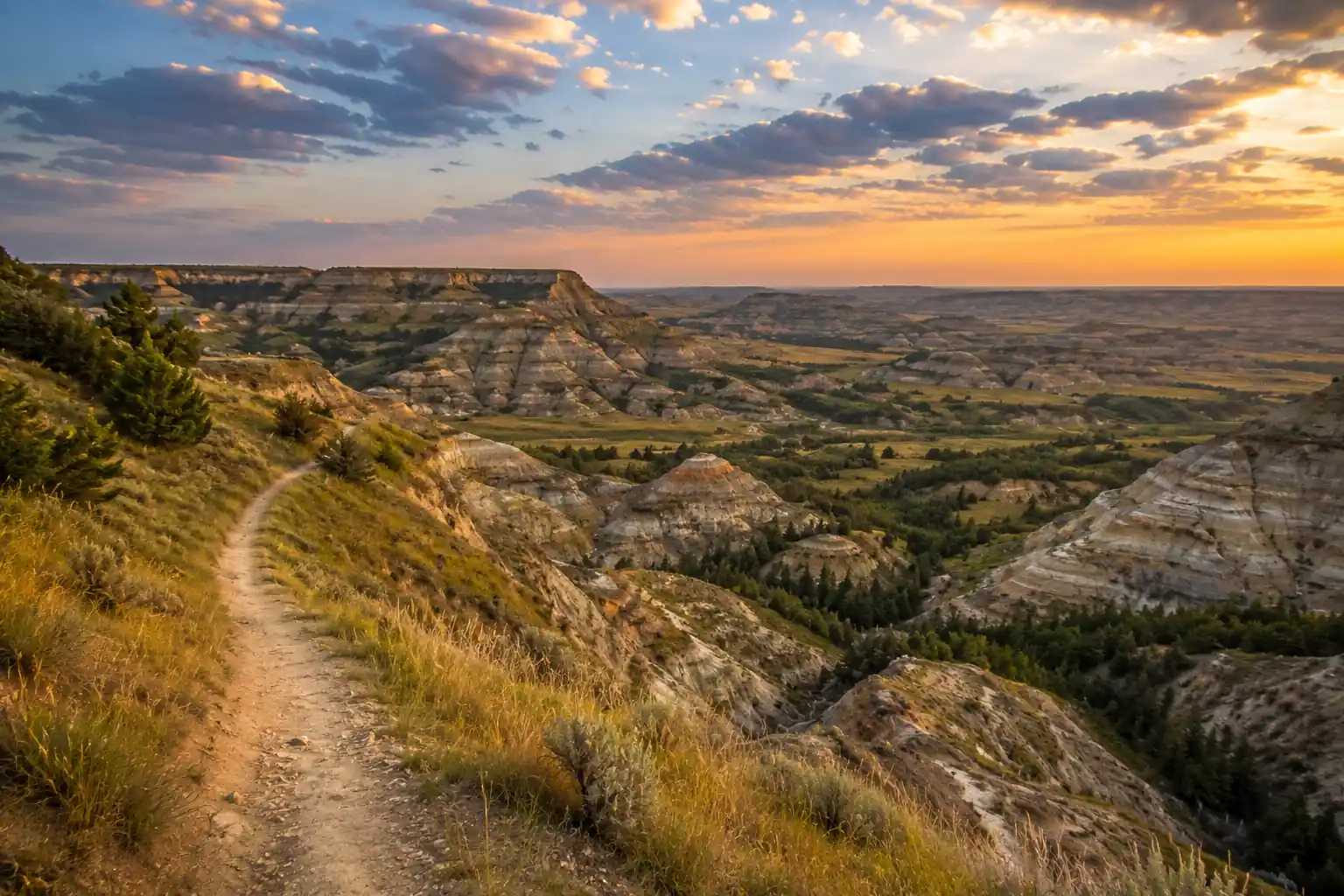
Maah Daah Hey Trail: 6-Day Backpacking Itinerary
A 6-day Maah Daah Hey Trail itinerary covering a 60-mile central section of the North Dakota Badlands, from Sully Creek to Peaceful…
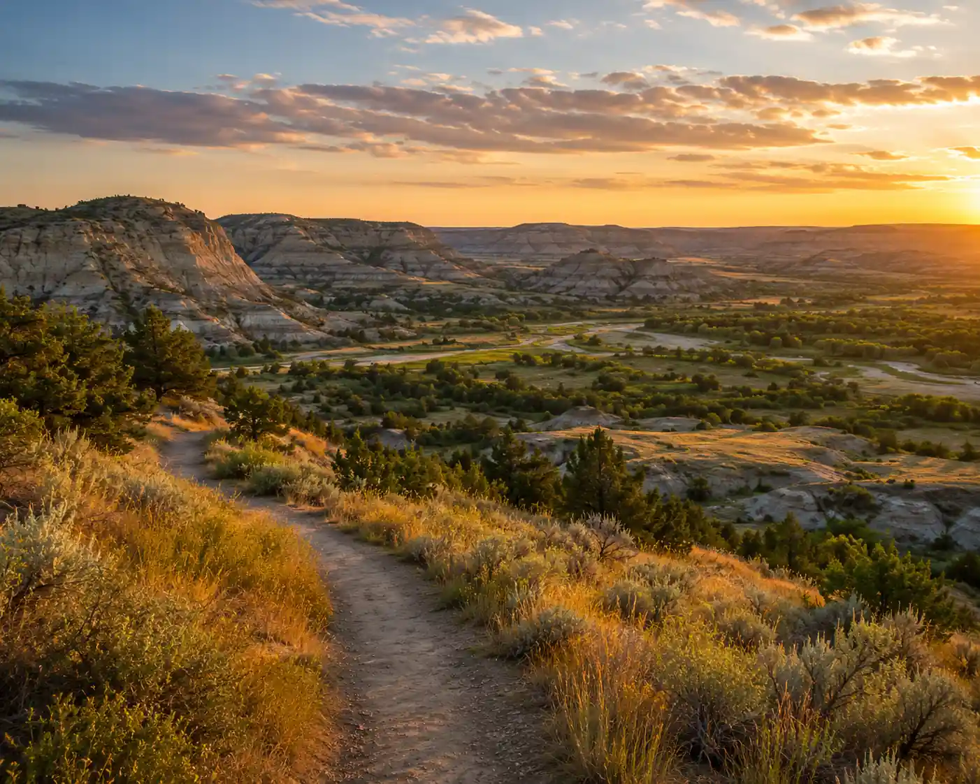
Theodore Roosevelt National Park: 3-Day Weekend Itinerary
A 3-day Theodore Roosevelt National Park weekend in the South Unit from Medora: Painted Canyon, the 36-mile Scenic Loop Drive, Wind…
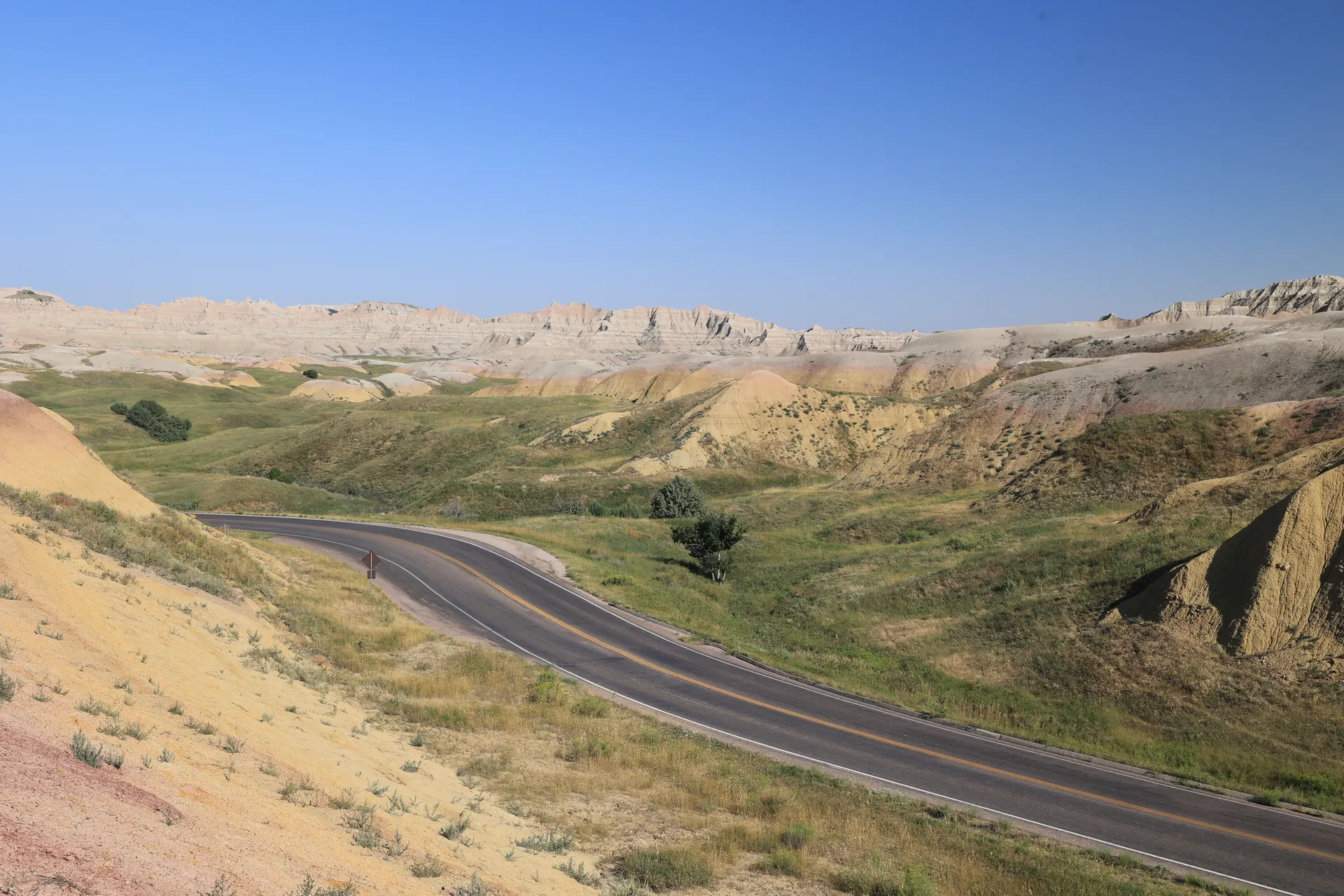
North Dakota Canoe Trip: A 10-Day Itinerary
Ten days paddling North Dakota: the seasonal Little Missouri River canoe run through the Theodore Roosevelt badlands, flatwater on Lake…
What adventurers say about us.
All reviews are from verified guests. ★★★★★ 5.0 average from 20+ bookings.
"Felt like going out with a really knowledgeable friend who just happens to know everything about the area. No awkward tour-guide energy, just a magnificent day."
"Yulia is an incredible guide. She knew every trail, every viewpoint, and exactly how to pace the day for our group. The photos she took of us were stunning. 100% booking again."
"I was visiting Seattle solo and this was the best decision I made on the trip. Yulia picked me up, had snacks, and took us to a trail I never would have found on my own. Absolute must-do."
"We did this as a couple's trip and it was perfect. Yulia adapted everything to us, our pace, our interests, our photo obsession. The mountain views were unreal."
"Phenomenal experience. Yulia has deep local knowledge and a real passion for the outdoors. She went out of her way to show us the hidden gems tourists never see. Will remember this forever."
"I've done a few guided hikes and this was by far the best. Yulia is warm, funny, and genuinely expert. The trail she chose had the most insane wildflower bloom, we got so lucky."
Fees, reservation windows, shuttle dates and trail closures are planning estimates. Confirm hours, road status and any reservations with the land manager before you go.
What other travelers are saying
Be the first to leave a tip or question for the next traveler.
Was this helpful?
One tap. It goes straight to Yulia and Margarita.
You can't hike it if you can't get the permit.
The best hikes in America run on lotteries that open once a year and sell out in minutes. Every trail runs on its own calendar. Pick the ones you want and we do the watching.
 The WaveCoyote Buttes North · Arizona / UtahPermitLotterybrutal odds
 Half Dome CablesYosemite NP · CaliforniaPermitOpens Mar 1fair odds
 Mt. WhitneyInyo NF · CaliforniaPermitOpens Feb 1tough odds
 Angels LandingZion NP · UtahPermitLotterytough odds
 The SubwayZion NP · UtahPermitLotterytough odds
 Mount St. Helens Summit ClimbGifford Pinchot NF · WashingtonPermitReservationtough odds
How it works
- An email the morning each window opens, never the day after.
- A 14-day heads-up so you can line up your group and dates.
- Win odds and a ranked backup plan for every trail you pick.
Didn't win? We keep watching. We check recreation.gov every day for The Enchantments, Half Dome and Angels Landing, and email you the moment a sold-out date frees up. Cancellations are the second chance most people never hear about.