Wind Caves in Arizona: The Usery Mountain Trail and the Sedona Caves
The Wind Cave Trail at Usery Mountain Regional Park, on the east side of Mesa, leads to a rock alcove on Pass Mountain at about 2,840 feet elevation, not a true cave you walk into. This is a different place from Wind Cave National Park in South Dakota, which is an actual cave system under the prairie. Sedona hikers also use the name wind cave loosely for shallow alcoves along a few red rock trails. Our Sedona hiking itinerary covers the Sedona side in full.
Wind Caves Arizona Is Not Wind Cave National Park
Search for wind caves az and you will get results mixed with Wind Cave National Park, an actual cave system beneath the prairie grasslands of South Dakota. That park is hundreds of miles away and has nothing to do with either Arizona location in this guide. What Arizona hikers usually mean by the name wind cave is the Wind Cave Trail at Usery Mountain Regional Park near Mesa, or, less often, one of a few sheltered rock alcoves that hikers around Sedona nickname the same way. Neither is a cave in the sense of an underground passage; both are open-air rock shelters.
Wind Cave Trail, Usery Mountain Regional Park (Mesa)
Usery Mountain Regional Park sits on the east side of the Phoenix metro area, next to Tonto National Forest, at 3939 N. Usery Pass Rd in Mesa. The Wind Cave Trail is the park's best known hike, climbing Pass Mountain to a wide alcove at about 2,840 feet elevation. The alcove formed at the boundary between two rock types, volcanic tuff and granite, and water seeping through the roof supports hanging gardens of Rock Daisy on the cave wall. It is a short, popular out-and-back hike rather than a technical one, and it gets busy on cool mornings and weekends.
- Park hours: May 1 to October 31, 5 a.m. to 9 p.m.; November 1 to April 30, 6 a.m. to 8 p.m.
- Nature center hours: May through October, 7 a.m. to 2 p.m., Monday through Saturday, closed Sundays; November through April, 8 a.m. to 4 p.m. daily.
- Heat: This is a low desert trail with almost no shade. May through September, go at opening time or in the last two hours before closing. An annual fire restriction runs May 1 through September 30.
For the exact trail mileage, elevation gain and current parking situation, check the park's own trail map before you go; those specifics can change with maintenance work and were not something we could confirm from the park's website at the time of writing.
The Sedona Wind Caves
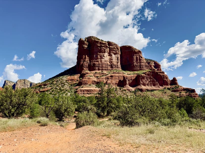
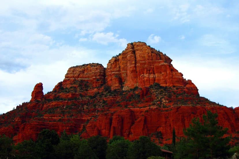
Around Sedona, hikers sometimes use the name wind cave as a casual label for shallow, wind-carved rock alcoves they pass on Coconino National Forest trails, rather than for one official, named feature. It is not an NPS or Forest Service trail name. If you searched for this hoping to find a specific marked trailhead, the more reliable move is to start from an official Sedona hiking guide and a current Red Rock Ranger District trail map rather than a name that different hikers apply to different alcoves. We were not able to confirm a single official wind cave trail or its mileage from Coconino National Forest's own site, so treat any specific distance you see elsewhere with caution and check with the Red Rock Ranger District before you rely on it.
Wind Caves Arizona vs. Wind Cave National Park, South Dakota
Wind Cave National Park protects one of the longest and most complex cave systems in the world, underneath rolling prairie where bison, elk and other wildlife roam on the surface. It is a true underground cave with ranger-led tours, nothing like the open rock alcoves at Usery Mountain or in the Sedona backcountry. If your search actually meant the South Dakota park, this is not the guide for that trip.
Have Us Plan the Sedona Side
If the Sedona leg of your trip is the part you have not nailed down, tell us your dates and we will build the hiking plan around it. Planning is free.
Keep planning with Things to Do in Sedona, Arizona and Free Things to Do in Sedona.
Wind Caves in Arizona: The Usery Mountain Trail and the Sedona Caves FAQs
A hike to a rock alcove on Pass Mountain at about 2,840 feet elevation, formed where volcanic tuff meets granite. It is a rock shelter, not a walk-in cave, and it is the most popular trail in Usery Mountain Regional Park near Mesa.
No. Wind Cave National Park is an actual underground cave system in South Dakota. The Arizona locations, at Usery Mountain and around Sedona, are open-air rock alcoves with no relation to it.
May 1 through October 31, 5 a.m. to 9 p.m. daily. November 1 through April 30, 6 a.m. to 8 p.m. daily.
Not an official one that we could confirm from the Forest Service. Hikers use the name loosely for a few rock alcoves on Coconino National Forest trails, so check a current Red Rock Ranger District trail map before you plan around a specific one.
It is a low desert trail with almost no shade, so summer heat is the main hazard. Go at park opening or in the last couple of hours before closing between May and September, and expect the annual fire restriction that runs May 1 through September 30.
Yes. The worked day-by-day plan is Sedona Hiking: Devil's Bridge, Cathedral Rock and the Best Red-Rock Trails (3-Day Itinerary) (3 Days), with the permits, the stays and the drive times already sorted. Tell us your dates and we will put it together for you and confirm what is genuinely open on those days. Asking is free: no card, no deposit, and nothing is held until you say yes.