The Mt Sneffels Hike: Three Days on Colorado’s Prettiest 14er
A short summit day with a long approach problem, and a gully that decides your morning.
A 3-day plan for hiking Mount Sneffels from Ouray: acclimatise first, drive Yankee Boy Basin the night before, then climb the Lavender Col and the Class 3 V-Notch to 14,155 feet.
Guided from $2,515 per person. Free to ask, pay after the guide confirms.
“I’ve requested to book a Chain Lakes Loop guide on ExplorOFF, and it was the best idea ever! I highly recommend going with their guided option since you get a real human connection on the trail and don’t have to worry about a thing. Yulia was great to talk to!”




 14 stops on a real mapEvery stop pinned in order→
Mount Sneffels: every stop pinned in order.
Yankee Boy Basin, Lavender Col & the V-Notch · Ouray, Colorado
Every stop on this trip, in order, opens as one driving route in the Google Maps app. No copying addresses across one at a time.
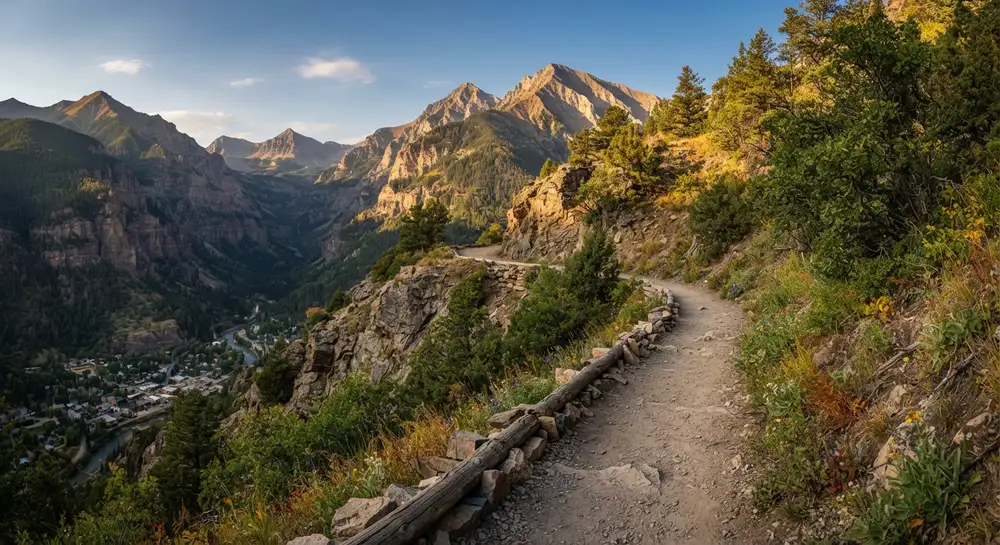
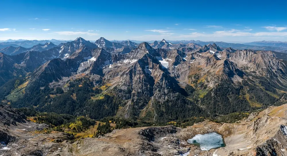
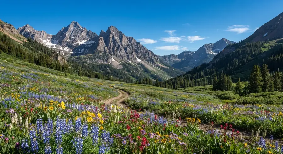
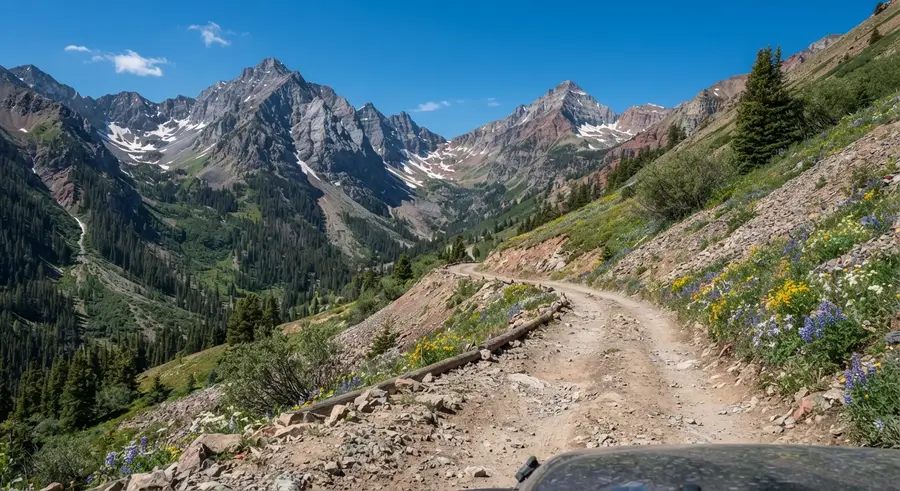
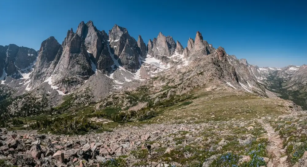
Mount Sneffels in photos: 6 of the stops.
Plan and book your 3 days in Mount Sneffels, one step at a time
How 3 days in Mount Sneffels split up
Plan 3 days for Mount Sneffels. Summit day: ~3 mi. Difficulty: Class 3. Elevation: 14,155 ft. Mount Sneffels is the peak on the Colorado quarter, the one standing over the Dallas Divide in every autumn photograph of the San Juans. At 14,155 feet it is not a big day by fourteener standards: from the upper trailhead the Mt Sneffels hike is roughly three miles round trip with about 1,700 feet of gain. Six to eight hours car to car covers most parties.
Day 1: Arrive in Ouray and let the altitude land
4 stops · Day one
Day 2: Drive Yankee Boy Basin and scout the road
5 stops · Day two
Day 3: Summit day: the Lavender Col and the V-Notch
5 stops · Day three
Arrive in Ouray and let the altitude land
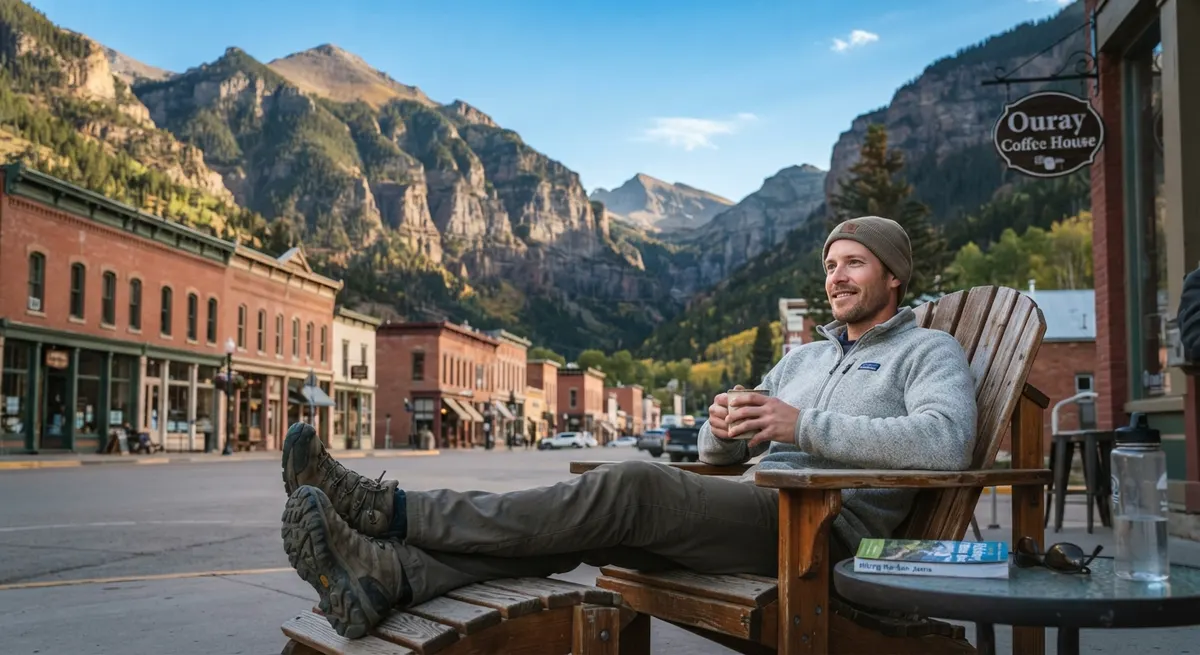
Fly into Montrose, drive the hour south to Ouray, and do nothing strenuous. Ouray sits at 7,800 feet and the summit is more than 6,000 feet above that. The single biggest reason people fail on Sneffels is not fitness, it is arriving from sea level and climbing the next morning.
Not the order you want? Drag a stop, or use the arrows beside it. Stops move between days too.
- Drive from
~1 hr · Ouray sits at 7,800 ft · DriveMontrose (MTJ) is the practical airport, about an hour north of Ouray. Get in, get to town, and do nothing hard. The summit is more than 6,000 feet above where you sleep tonight, and arriving from sea level then climbing the next morning is the single most common reason people turn around on this peak.
- Ouray Perimeter Trail
~6 mi loop · gentle · acclimatisation · HikeA roughly six-mile loop that rings the town, with bridges, a gorge and a few hundred feet of gain. It is exactly the right amount of work for a day when your only job is to let your body notice the altitude.
- Ouray Hot Springs
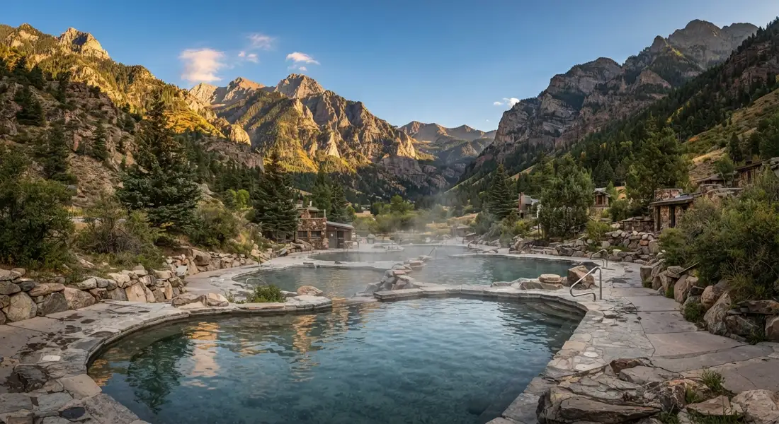
Recover and hydrate · ViewpointThe reason half of Ouray’s visitors are here. Sit in it, drink more water than you want to, and go to bed early. Hydration genuinely helps with altitude and you will be starting in the dark on day three.
 Night in Ouray
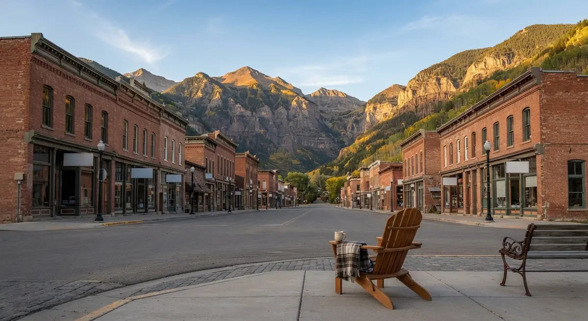
Book early, the town is small · lodgeOuray is a small town with a famous hot spring, and summer weekends book months ahead. There is no permit to worry about on Sneffels, so lodging is the one thing that actually needs reserving in advance.
Drive Yankee Boy Basin and scout the road
Today is about the road, and the road is the part people underestimate. From Ouray, County Road 361 climbs into Yankee Boy Basin. It is fine for most vehicles as far as roughly 11,700 feet. After that the last mile to the signed upper trailhead at 12,460 feet is rough, rocky and narrow, and it wants high clearance four wheel drive with a short wheelbase. Rental SUVs get damaged on it every summer, and most rental agreements forbid the attempt.
Not the order you want? Drag a stop, or use the arrows beside it. Stops move between days too.
- Guided jeep tour into Yankee Boy Basin
Optional · 3.5+ hr · San Juan Scenic Jeep Tours, since 1946 · activityIf your rental agreement forbids the rough end of CR 361, let a local guide drive it. San Juan Scenic Jeep Tours, running jeep trips out of Ouray since 1946, takes a half day up the same road into Yankee Boy Basin for the waterfalls, wildflowers and mine ruins, so you see the basin and the road you will use tomorrow without risking the car. Summit day still starts from wherever you can park, so walk the last mile if needed.
Book this → - Drive CR 361 into Yankee Boy Basin
Easy to ~11,700 ft, then rough · DriveCounty Road 361 climbs from Ouray into the basin. It is fine for most vehicles to roughly 11,700 feet. Beyond that the last mile to the upper trailhead is rocky, narrow and steep, and wants high clearance 4WD with a short wheelbase. Drive it today, in daylight, so you know exactly where your vehicle stops before the alarm goes off tomorrow.
- Yankee Boy Basin wildflowers
Peak mid-July · among the best in Colorado · ViewpointIn mid-July this basin is one of the best wildflower displays in the state, columbine and paintbrush right up to the scree. It is also the classic view of the mountain, so you can stand here and pick out the gully you will climb and the notch you will squeeze through.
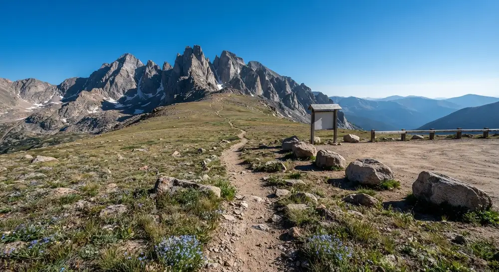 Upper trailhead, 12,460 ft
The signed start, if you can drive to it · ViewpointThe signed upper trailhead sits at 12,460 feet. Reaching it turns summit day into a three-mile morning. Not reaching it is completely normal and simply means walking the last mile of road, adding roughly two miles and 700 feet to the round trip.
- Second night in Ouray
Or sleep high in the basin · lodgeTwo nights in Ouray is the simple version. If you are set up for it, dispersed camping in the basin puts you higher and closer, but there is no water and no toilet up there, so you carry everything in and out.
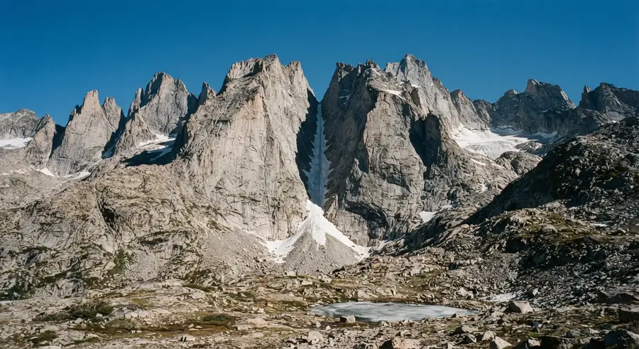
Summit day: the Lavender Col and the V-Notch
Start before dawn. From the upper trailhead the trail climbs into the basin and then up into the Lavender Col, the long scree gully that fills the space between Sneffels and Kismet. It is loose. There is no elegant way to say it: you will slide, and anything you knock loose goes straight down onto whoever is below you, which is why helmets are normal here and why parties spread out rather than stack up.
Not the order you want? Drag a stop, or use the arrows beside it. Stops move between days too.
- Pre-dawn drive back up CR 361 to the trailhead
From Ouray · high-clearance 4WD past ~11,700 ft · DriveBoth nights are in Ouray, so summit day starts with the drive back up Yankee Boy Basin in the dark. A normal car stops around 11,700 ft and adds the walk to the upper trailhead; start early enough to be off the summit before afternoon storms.
- Lavender Col
The scree gully · helmets and spacing · HikeStart before dawn. The trail climbs into the basin then up into the Lavender Col, the long scree gully between Sneffels and Kismet. It is loose, you will slide, and anything you dislodge goes straight down onto whoever is below. Helmets are normal here and parties spread out rather than stacking up.
- The V-Notch
Class 3 crux · exit west and scramble · mtnAt the top of the col a narrow slot appears in the rock. This is the crux: climb up through it, exit west, then scramble a short exposed Class 3 step to the summit ridge. Only a few moves, but genuine scrambling with air beneath you, and the point at which this stops being a hike.
- Summit, 14,155 ft
The whole San Juan range · ViewpointThe San Juans in every direction, and the Dallas Divide dropping away to the north. In late September the aspens below are turning and it is the view that put this mountain on the Colorado quarter. Be off the top by midday.
- Getting home: Montrose
~1.5 hr from the trailhead · DriveBack down the gully slowly, because the descent is where most accidents on this peak happen. Once you are on pavement, Montrose (MTJ) is about an hour and a half. If you have another day, the Million Dollar Highway south to Silverton is worth every minute.
Book the 2 nights
Beds near the trailheads are the one thing on this trip that genuinely runs out. Everything else can be decided later.
Tell us your dates and we will do the checking. We find what is still open near each trailhead and email you this plan back with a booking link for each night. Nothing is charged and you decide at the end.
Request to bookWhat to pack for Mount Sneffels
Built from this route, not a generic list. Every line says why it is here.
On every day of this trip
On your feet
Because you are sleeping indoors
For the driving days
What we actually learned on Sneffels.
The road is the crux, not the climb
County Road 361 is easy to about 11,700 feet and then genuinely rough for the last mile to the 12,460-foot upper trailhead. High clearance 4WD with a short wheelbase, and most rental agreements forbid it. Decide honestly, and if the answer is no, park lower and walk. It adds roughly two miles and 700 feet each way.
Helmets, and do not stack up
The Lavender Col is a scree gully with people above and below you. The hazard here is rockfall, not the scrambling. Wear a helmet and spread your party out rather than climbing in a tight line.
The V-Notch is where it stops being a hike
Near the top of the col a narrow slot leads west, and from it a short exposed Class 3 step reaches the summit ridge. It is brief and it is real. If nobody in your group has scrambled before, hire a guide in Ouray rather than finding out up there.
Start in the dark
San Juan afternoons build thunderstorms through July and August, and the upper mountain offers no shelter of any kind. Aim to be on the summit early and descending by late morning.
Give yourself a day at altitude
Ouray is 7,800 feet and the summit is 14,155. Arriving from sea level and climbing the next morning is the most common reason people turn around. One night acclimatising helps, two is better.
No permit, but book Ouray early
There is no permit or quota for Sneffels, which is rare for a peak this good. What runs out is lodging: Ouray is small, its hot spring is famous, and summer weekends book months ahead.
Carry your water and your waste
There is no water and no toilet at the upper trailhead or anywhere on the route. Bring what you need, carry a wag bag, and take everything back down with you.
Mount Sneffels: questions before you go
Mount Sneffels: the questions people ask most.
At 14,155 feet it is the high point of the Sneffels Range and the most recognisable of the San Juan 14ers, the peak on the skyline in most photographs of the Dallas Divide. Among Colorado 14ers it is a short day but not an easy one: the mileage is small and the terrain is Class 3 on loose rock, so it is usually recommended after a few walk-up peaks rather than as a first summit.
Sneffels, with the e before the l. Sneffles is a very common misspelling, so if a search is returning thin results that is often why. The name was given in 1874 by Frederick Endlich, a geologist on the Hayden Survey, after Snaefell, the Icelandic volcano that is the way into the earth in the Jules Verne novel published ten years earlier.
It is short and steep with a Class 3 crux. From the upper trailhead at 12,460 feet it is roughly three miles round trip with about 1,700 feet of gain, and most parties take six to eight hours car to car. The difficulty is the loose scree in the Lavender Col and the exposed Class 3 step at the V-Notch near the top, not the distance. If you start from the lower parking near 11,700 feet, add about two miles and 700 feet each way.
For the upper trailhead, yes. County Road 361 from Ouray is manageable for most vehicles to roughly 11,700 feet, but the final mile to the signed upper trailhead at 12,460 feet is rough, narrow and rocky, and needs high clearance four wheel drive with a short wheelbase. Most rental agreements specifically forbid it. If your vehicle cannot make it, park lower and walk the road, which adds about two miles and 700 feet each way.
The V-Notch is the narrow slot near the top of the Lavender Col and it is the crux of the standard route. You climb up to it, exit west through the gap, then scramble a short exposed Class 3 step to reach the summit ridge. It is only a few moves but it is genuine scrambling with exposure, and it is the point where the day stops being a hike.
Not really. It is one of the more beautiful fourteeners in Colorado, but the standard route is Class 3 with loose rock and real exposure at the V-Notch, plus a 4WD approach road. If it is your first fourteener, something like Quandary or Bierstadt is a better introduction. If you want Sneffels as an early one, go with a guide out of Ouray.
July through September, once the snow has melted out of the Lavender Col. Before that you need an ice axe and crampons and the skills to use them. Mid-July brings the Yankee Boy Basin wildflowers, and late September brings the aspen colour on the Dallas Divide below. Whatever month you pick, start before dawn: afternoon thunderstorms are routine and the upper mountain has no shelter.
Six to eight hours car to car from the upper trailhead for most parties, which is short for a fourteener. Add roughly two hours if you are starting from the lower parking and walking the last mile of road. Build in more time than you think for the descent, because the loose scree in the gully is slower and more hazardous going down than up.
No. There is no permit and no quota, which is unusual for a peak of this quality. Nothing needs booking except your lodging and, if you want one, a guide. Ouray is a small town with a famous hot spring, so summer weekends fill months ahead.
Yes. Sneffels has a fatality history, and the causes are consistent: falls on the loose scree of the Lavender Col, rockfall from parties above, and mistakes on the Class 3 descent when people are tired. None of that makes it an extreme mountain, but it does mean helmets, spacing your party out, and treating the descent with the same care as the climb.
Yes. Tell us your dates and we check what is still open for the plan on this page, then send it back with a booking link for each night and the total. Nothing is charged and nothing is held, and you pay the normal rate.
Pick how you want to go.
Same 3-day route. Same 8 stops.
- 2 nights, Amphitheater Campground above Ouray
- $60
- Guided jeep tour into Yankee Boy Basin
- Priced when you book
- Rental car, 3 days
- $180
- Gas, about 49 miles
- $10
- 2 nights, a room in Ouray
- from $550
- Guided jeep tour into Yankee Boy Basin
- Priced when you book
- Rental car, 3 days
- $180
- Gas, about 49 miles
- $10
- A private local guide, rooms and campsites booked
- Included
- Airport pickup and every drive
- Included
- Park, permit and campsite fees paid
- Included
- All the gear and the trail meals
- Included
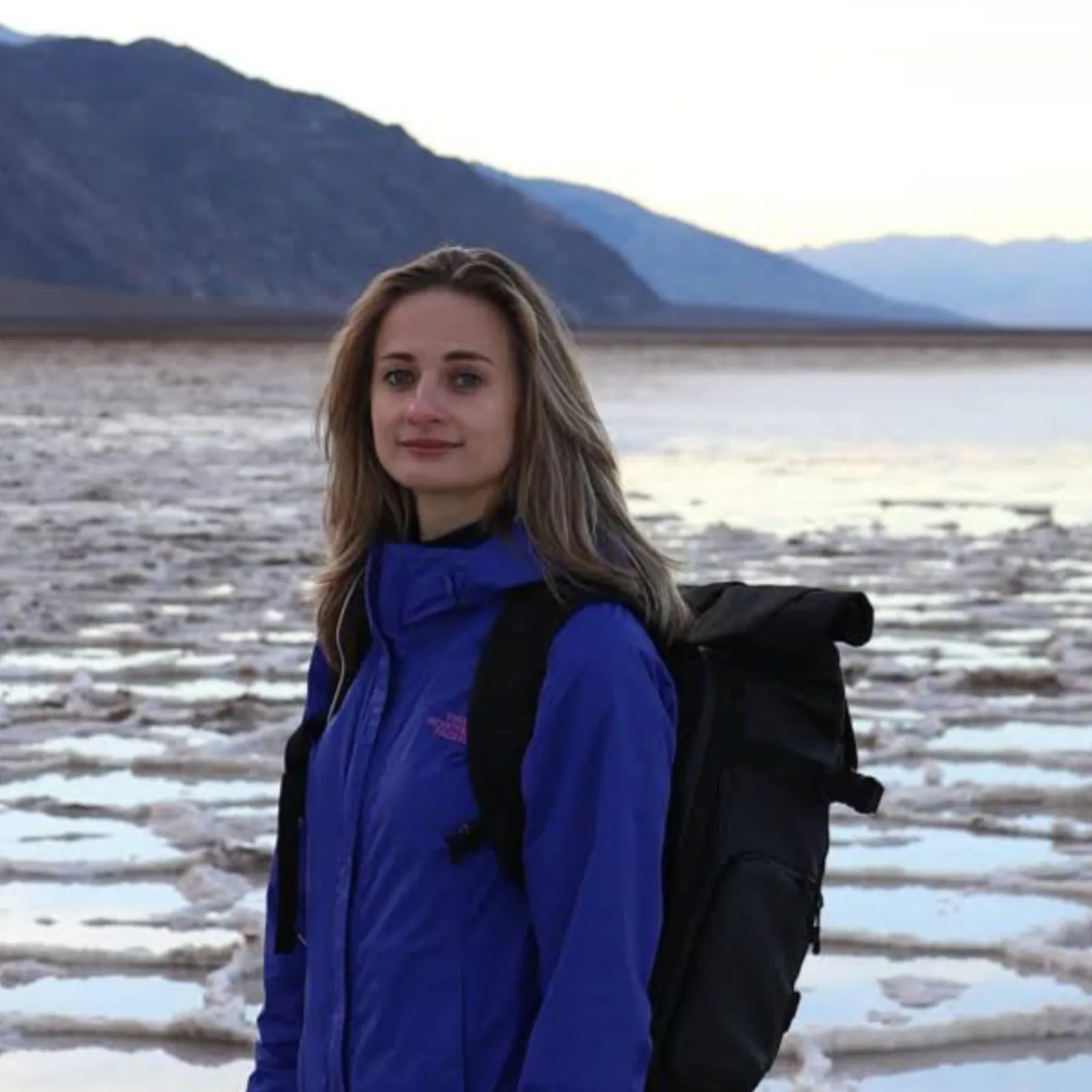
Written and walked by Yulia Vasilyeva · Co-founder · Lead planner and guide
Three years leading guided hikes in the Pacific Northwest, rated 5.0 by 20+ verified guests, and she builds every custom itinerary herself. Based in Seattle.
Last checked September 2026
You might also love these
Other itineraries near this one.
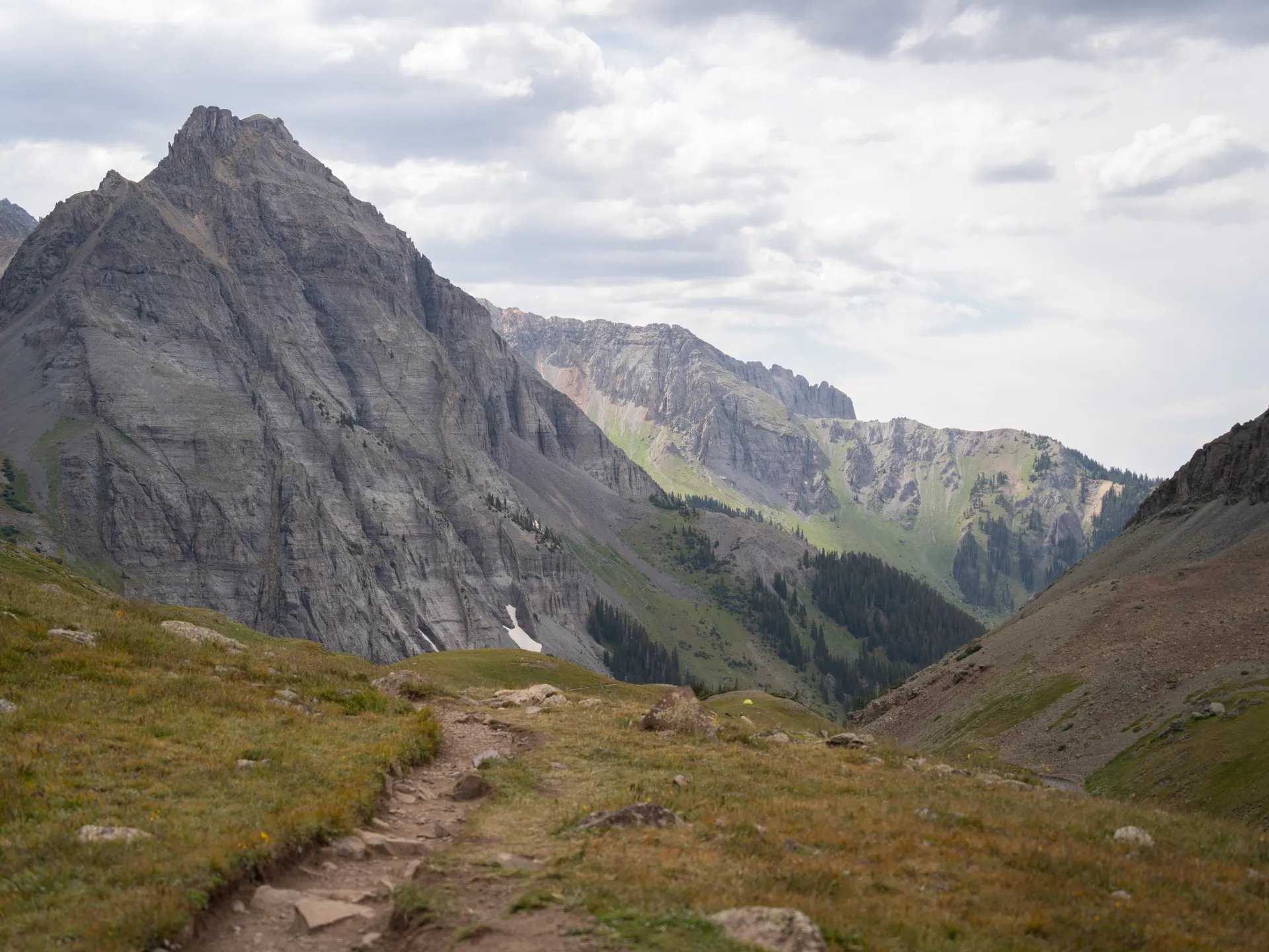
Weminuche Wilderness: Chicago Basin Backpacking
Reach Colorado's most remote 14ers by Durango & Silverton steam train. A 4-day backpacking trip to Chicago Basin with three fourteeners…
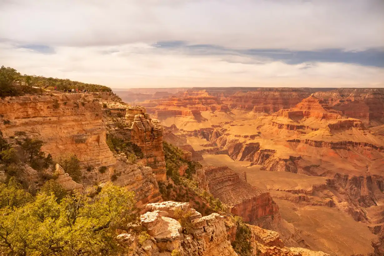
Black Canyon of the Gunnison: A 2-Day Itinerary
Two days at one of the steepest, deepest, narrowest canyons in North America: the South Rim Drive overlooks, Painted Wall, the best rim…
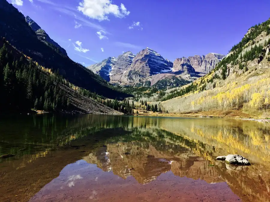
Maroon Bells Fall Colors: A 3-Day Aspen Itinerary
Three days for the two most photographed peaks in Colorado at the one week the aspens turn them gold. Dawn at Maroon Lake, the walk to…
Guides for this tripMount Sneffels WeatherBlue Lakes and the PassMount Sneffels DeathsMount Sneffels Southwest Ridge
What adventurers say about us.
All reviews are from verified guests. ★★★★★ 5.0 average from 20+ bookings.
"Felt like going out with a really knowledgeable friend who just happens to know everything about the area. No awkward tour-guide energy, just a magnificent day."
"Yulia is an incredible guide. She knew every trail, every viewpoint, and exactly how to pace the day for our group. The photos she took of us were stunning. 100% booking again."
"I was visiting Seattle solo and this was the best decision I made on the trip. Yulia picked me up, had snacks, and took us to a trail I never would have found on my own. Absolute must-do."
"We did this as a couple's trip and it was perfect. Yulia adapted everything to us, our pace, our interests, our photo obsession. The mountain views were unreal."
"Phenomenal experience. Yulia has deep local knowledge and a real passion for the outdoors. She went out of her way to show us the hidden gems tourists never see. Will remember this forever."
"I've done a few guided hikes and this was by far the best. Yulia is warm, funny, and genuinely expert. The trail she chose had the most insane wildflower bloom, we got so lucky."
Fees, reservation windows, shuttle dates and trail closures are planning estimates. Confirm hours, road status and any reservations with the land manager before you go.
What other travelers are saying
Be the first to leave a tip or question for the next traveler.
Was this helpful?
One tap. It goes straight to Yulia and Margarita.
You can't hike it if you can't get the permit.
The best hikes in America run on lotteries that open once a year and sell out in minutes. Every trail runs on its own calendar. Pick the ones you want and we do the watching.
 The WaveCoyote Buttes North · Arizona / UtahPermitLotterybrutal odds
 Half Dome CablesYosemite NP · CaliforniaPermitOpens Mar 1fair odds
 Mt. WhitneyInyo NF · CaliforniaPermitOpens Feb 1tough odds
 Angels LandingZion NP · UtahPermitLotterytough odds
 The SubwayZion NP · UtahPermitLotterytough odds
 Mount St. Helens Summit ClimbGifford Pinchot NF · WashingtonPermitReservationtough odds
How it works
- An email the morning each window opens, never the day after.
- A 14-day heads-up so you can line up your group and dates.
- Win odds and a ranked backup plan for every trail you pick.
Didn't win? We keep watching. We check recreation.gov every day for The Enchantments, Half Dome and Angels Landing, and email you the moment a sold-out date frees up. Cancellations are the second chance most people never hear about.