Why People Choose It
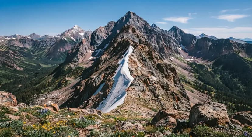
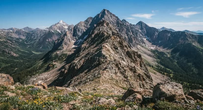
The standard Lavender Col route is a loose scree gully with rockfall coming down it. The Southwest Ridge is the answer for anyone who would rather climb solid rock than wade up moving stone, and it is markedly quieter than the standard line.
It is also harder. Where the standard route is Class 3 with one short crux, the ridge gives you sustained scrambling with exposure over a much longer stretch, and route-finding that genuinely matters.
The Usual Way to Do It
The common approach is from Wrights Lake, climbing the ridge and then descending the standard Lavender Col route. That gives you the better climbing on the way up while you are fresh and attentive, and the quicker, more straightforward line for tired legs coming down. Doing it in reverse is possible and rarely the better plan.
Who Should Be on It
This is not a step up from the standard route, it is a different category of day. You want previous comfort on exposed Class 3 and Class 4 terrain, the ability to route-find on a ridge without a trail, and a settled weather window, because escaping mid-ridge is not simple.
If you have climbed the standard route and found the V-Notch straightforward, the ridge is a reasonable next objective. If the V-Notch was at your limit, it is not.
How It Compares
Standard route, Lavender Col: roughly 3 miles round trip from the upper trailhead, about 1,700 feet of gain, Class 3 with one short crux. Loose the entire way. Six to eight hours.
Southwest Ridge: longer, more climbing, sustained exposure, better rock quality, real route-finding, far fewer people. A full day.
The Same Rules Still Apply
Everything that governs the standard route governs this one. Start before dawn, because San Juan afternoons build thunderstorms and a ridge is the worst possible place to be caught. Wear a helmet. And remember that the descent of the standard gully at the end of a long ridge day is exactly when tired parties make mistakes.
Getting to the Start
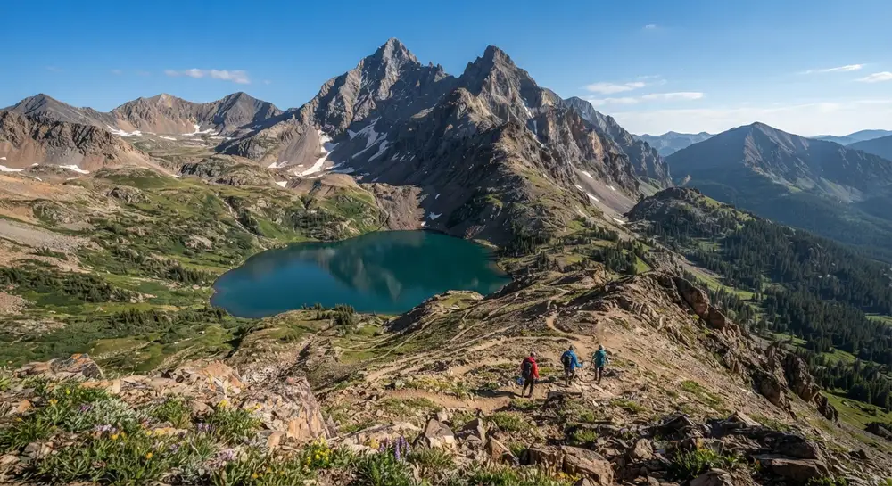
The southwest ridge is reached from Blue Lakes Pass, which sits roughly 3.9 miles up the Blue Lakes trail from the trailhead southwest of Ridgway. That is the first thing that makes this a bigger day than the standard route: you have done a substantial hike before the climbing starts.
The compensation is the approach itself. You walk past the Blue Lakes on the way in, which is some of the best scenery in the San Juans, and a normal car reaches this trailhead, unlike the upper trailhead in Yankee Boy Basin.
How It Compares to the Standard Route
The South Slopes route from Yankee Boy Basin is about a mile from the upper trailhead with more than 1,700 feet of gain, and its difficulty is concentrated in one short crux at the V-Notch. The southwest ridge is longer, more sustained, and asks for route finding over a much greater distance.
Put simply: the standard route is a scramble with a hard move in it. The ridge is a route. If you are picking your first way up Sneffels, pick the standard one.
Making a Loop of It
The combination that experienced parties like is going up one side and down the other. It gives you the ridge and the lakes in a single outing rather than repeating ground.
It also creates a logistics problem worth solving in advance, because you finish a long way from where you started, on the other side of the range. That means two cars, an arranged pickup, or a much longer day than the mileage suggests. Work this out before you set off, not from the summit.
Who It Is For
This is a route for people who have already climbed the standard line, are comfortable moving over loose alpine terrain without a bootpack to follow, and want a longer and quieter day. It sees far less traffic than the south side, which is part of the appeal and also means less of a trail to follow and fewer people around if something goes wrong.
Mount Sneffels Southwest Ridge: The Harder Line FAQs
Harder than the standard route, and a different kind of day rather than a step up. It gives sustained scrambling with exposure over a long stretch of ridge, plus route-finding that genuinely matters, where the standard Lavender Col route is Class 3 with a single short crux.
The usual approach is from Wrights Lake, ascending the ridge and then descending the standard Lavender Col route. That puts the technical climbing early while you are fresh and gives you a simpler descent for tired legs.
It is better rock and far fewer people, which is exactly why experienced scramblers choose it. It is also longer, more exposed and more committing. If you have done the standard route and found the V-Notch comfortable, it is a sensible next objective.
Considerably better than the Lavender Col, which is the main appeal. The standard route is loose scree with rockfall hazard from parties above; the ridge gives you solid rock to climb on, at the cost of more sustained exposure.
From Blue Lakes Pass, about 3.9 miles up the Blue Lakes trail from the trailhead southwest of Ridgway. A regular car reaches that trailhead, unlike the upper trailhead in Yankee Boy Basin.
Yes. The standard South Slopes route is short with its difficulty concentrated at the V-Notch. The southwest ridge is longer, more sustained and needs route finding over much more ground. It is not the right choice for a first ascent of the peak.
Experienced parties do exactly that, which gives you the ridge and the Blue Lakes in one outing. Just plan the shuttle first: you finish on the opposite side of the range from where you started, so it needs two cars or an arranged pickup.
Yes. The worked day-by-day plan is Mt Sneffels Hike: A 3-Day Colorado 14er Itinerary (3 Days), with the permits, the stays and the drive times already sorted. Tell us your dates and we will put it together for you and confirm what is genuinely open on those days. Asking is free: no card, no deposit, and nothing is held until you say yes.