Weminuche Wilderness: Chicago Basin Backpacking
Colorado's most remote 14ers, reached by steam train, in the San Juans.
Reach Colorado's most remote 14ers by Durango & Silverton steam train. A 4-day backpacking trip to Chicago Basin with three fourteeners and wildflower meadows.
“I’ve requested to book a Chain Lakes Loop guide on ExplorOFF, and it was the best idea ever! I highly recommend going with their guided option since you get a real human connection on the trail and don’t have to worry about a thing. Yulia was great to talk to!”




 13 stops on a real mapEvery stop pinned in order→
Every stop is a real pin, in order.
Needleton, Chicago Basin & the Needle Mountains · San Juan Mountains
Every stop on this trip, in order, opens as one driving route in the Google Maps app. No copying addresses across one at a time.
5 of the stops on these 4 days.

Plan and book your 4 days in Weminuche, one step at a time
How 4 days in Weminuche split up
The Weminuche Wilderness is Colorado's largest designated wilderness area, 499,771 acres of the San Juan Mountains with no roads, no cell service, and some of the most dramatic high-alpine terrain in the lower 48. At its heart is Chicago Basin, a remote cirque ringed by three 14,000-foot peaks and accessible by one of the most memorable approaches in American backpacking: a steam-powered narrow gauge railroad that drops you off trackside, miles from the nearest road.
Day 1: Train to Needleton, hike to Chicago Basin
4 stops · Day one
Day 2: Summit Windom Peak (14,087 ft)
3 stops · Day two
Day 3: Sunlight Peak or basin exploration
3 stops · Day three
Day 4: Hike out to Needleton, train to Durango
3 stops · Day four
Train to Needleton, hike to Chicago Basin
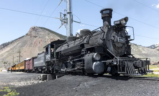
Board the Durango & Silverton Narrow Gauge Railroad at Durango Depot, departing around 8:45am. The three-hour ride through the Animas River Gorge is spectacular, with sheer canyon walls, rushing water, and no road access the entire route. Tell the conductor at boarding that you're stopping at Needleton. The train slows to let backpackers off at the whistle stop, then continues to Silverton.
Not the order you want? Drag a stop, or use the arrows beside it. Stops move between days too.
 Base in
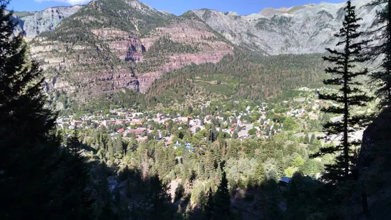
~3.5 hr from Albuquerque · base town · DriveDurango is the base town for this trip. It is about 3.5 hours from Albuquerque, 5.5 hours from Denver, and 6 hours from Salt Lake City. Spend the night before so you can catch the morning train, and download offline maps before you lose cell service in the wilderness.
- Durango & Silverton train to Needleton
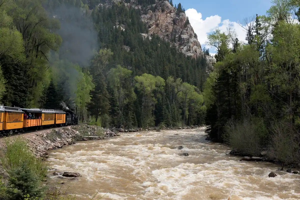
~3 hr · whistle stop · book ahead · activityBoard the Durango & Silverton Narrow Gauge Railroad at Durango Depot around 8:45am. The three-hour ride through the Animas River Gorge is spectacular, with sheer canyon walls and no road access the entire route. Tell the conductor at boarding that you're stopping at Needleton; the train slows to let backpackers off at the whistle stop.
 Needle Creek Trail to Chicago Basin
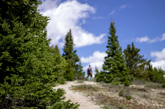
7 mi · 3,200 ft gain · 4 to 5 hr · HikeFrom Needleton (8,212 ft), cross the bridge over the Animas River and climb the Needle Creek Trail. The first two miles gain gradually through spruce-fir forest before the valley opens and the Needle Mountains come into view. The trail climbs steadily for 7 miles total, gaining 3,200 feet to the basin. Plan 4 to 5 hours hiking time.
- Camp in Chicago Basin
Established sites · Needle Creek · 11,400 ft · CampSet up camp at an established site along Needle Creek in the upper basin at 11,400 ft. The most popular sites are in the flat, grassy areas between the lower and upper basin. A bear canister is required and enforced. Filter all water from the creek, and spend the evening watching the sun set on Eolus, Windom, and Sunlight above.
Summit Windom Peak (14,087 ft)
Start before 7am. Windom Peak is the most straightforward of the three Chicago Basin 14ers, a Class 2 route with no technical moves, though the altitude and long approach require genuine fitness.
Not the order you want? Drag a stop, or use the arrows beside it. Stops move between days too.
- Windom Peak (14,087 ft)
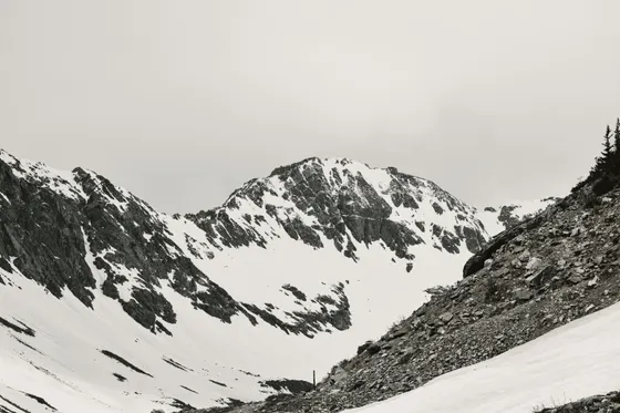
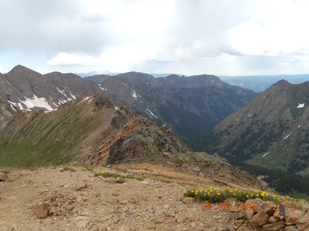
Class 2 · be off the ridge by noon · HikeStart before 7am. Windom Peak is the most straightforward of the three Chicago Basin 14ers, a Class 2 route with no technical moves, though the altitude and long approach require genuine fitness. From camp, follow the trail past the upper basin toward the Twin Lakes, then veer southeast up the broad talus toward the Windom-Sunlight saddle and the rocky upper ridge.
- Twin Lakes & Windom-Sunlight saddle
Upper basin talus approach · ViewpointThe route past the upper basin runs by the Twin Lakes, then climbs the broad talus slopes toward the Windom-Sunlight saddle. The upper ridge to Windom is a straightforward rocky walk with increasingly dramatic views of the Needle Mountains and the San Juan backcountry.
 SFC H / CC BY 3.0Second night in Chicago Basin
Same base · rest and refuel · CampReturn to camp by early afternoon. Rest, filter water, and eat a real meal. Your legs will thank you the next day. Keeping the same base means no packing up between summit days, and the basin night sky at 11,400 ft with no artificial light is extraordinary.
Sunlight Peak or basin exploration
Option A, Sunlight Peak (14,059 ft, Class 3): Sunlight is the technical challenge of the three. The standard route follows the same approach as Windom to the Windom-Sunlight saddle, then traverses northwest along the ridge to the summit block. The final move to the true summit involves a Class 3 step across an exposed notch, manageable for experienced scramblers, not recommended for those uncomfortable with exposure. Do not attempt in wet or stormy conditions.
Not the order you want? Drag a stop, or use the arrows beside it. Stops move between days too.
- Sunlight Peak (14,059 ft) · Option A
Class 3 · exposed summit step · HikeSunlight is the technical challenge of the three. The standard route follows the same approach as Windom to the Windom-Sunlight saddle, then traverses northwest along the ridge to the summit block. The final move to the true summit involves a Class 3 step across an exposed notch, manageable for experienced scramblers but not recommended for those uncomfortable with exposure. Do not attempt in wet or stormy conditions.
 Twin Lakes & upper basin · Option B
~12,500 ft · half-day · no summit push · ViewpointThe Twin Lakes above camp at around 12,500 ft are a rewarding half-day objective that doesn't require a summit push: crystal-clear high-alpine lakes surrounded by talus, wildflowers in July, and views back down the basin to the valley below. This is the right call if weather is uncertain or your legs are still recovering.
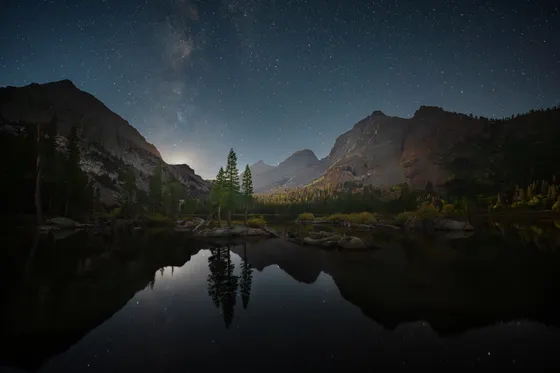 Last night in Chicago Basin
Sit with the silence · CampReturn to camp by early afternoon. This is your last full night in the basin, so take an hour to sit with the silence. At 11,400 feet with no artificial light, the night sky here is extraordinary.
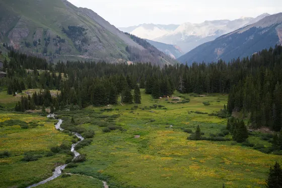
Hike out to Needleton, train to Durango
The return train from Needleton to Durango typically departs between 3:30 and 4pm, so confirm the exact schedule when you buy tickets, as it varies by date. Allow at least 5 hours for the 7-mile descent (3 to 3.5 hours hiking time, plus a buffer for tired legs on the rocky trail and time to wait at the crossing).
Not the order you want? Drag a stop, or use the arrows beside it. Stops move between days too.
- Descend to Needleton
7 mi down · 3 to 3.5 hr · allow 5+ · HikeStart descending by 9 to 10am. The downhill through the Needle Creek valley passes through some of the most beautiful spruce forest in Colorado, with the Animas River audible well before you reach Needleton. Allow at least 5 hours for the 7-mile descent: 3 to 3.5 hours hiking, plus a buffer for tired legs on the rocky trail and time to wait at the crossing.
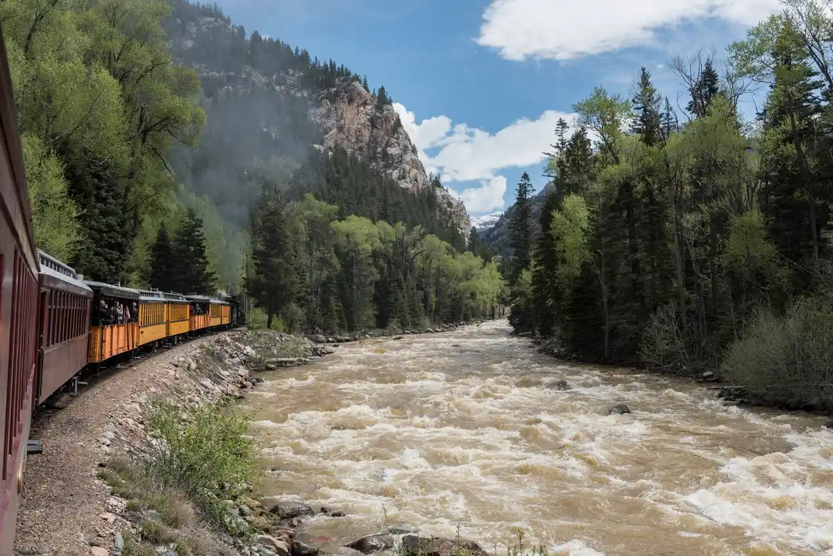 Return train · Needleton to Durango
Departs ~3:30 to 4pm · flag it down · activityThe return train from Needleton to Durango typically departs between 3:30 and 4pm, so confirm the exact schedule when you buy tickets, as it varies by date. Wait at the whistle stop crossing and the train will stop when you flag it down. The ride back to Durango at sunset, exhausted and satisfied, is one of the great end-of-trip moments in American backpacking.
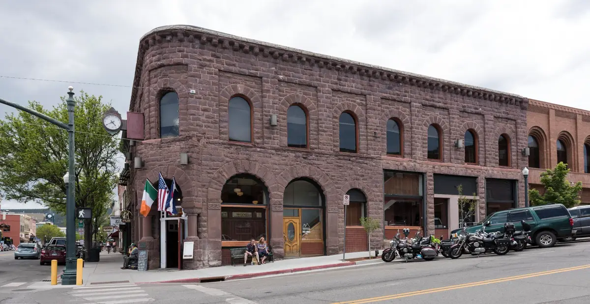 Back in Durango
Base town · hotels & a hot shower · ViewpointThe train rolls back into Durango Depot at sunset. Spend the night in town to clean up, eat a real meal, and rest before the drive home. Durango has plenty of historic downtown hotels and an easy walk from the depot.
Book the 3 nights
Beds near the trailheads are the one thing on this trip that genuinely runs out. Everything else can be decided later.
Tell us your dates and we will do the calling. We check every booking site, put your points and card perks against the cash price, and email you this plan back with the best room we can find for each night. Nothing is charged and you decide at the end.
Request to bookWhat to pack for Weminuche
Built from this route, not a generic list. Every line says why it is here.
On every day of this trip
On your feet
Because you are camping 3 nights
For the driving days
What we actually learned in the basin.
Book the train months ahead
The Durango & Silverton Narrow Gauge Railroad runs round trip for about $110 to $130 and sells out months in advance for summer weekends. Backpacker tickets are the same price as regular tourist tickets. Tell the conductor when you board that you're getting off at Needleton, and confirm the once-daily return schedule when you book.
A bear canister is mandatory
No wilderness permit is required for the Weminuche Wilderness, but a bear canister is required and actively enforced by rangers. Campsites are first-come, first-served, and established sites in Chicago Basin fill fast on July and August weekends. No campfires above 11,000 ft.
Filter everything from Needle Creek
Water from Needle Creek and the snowmelt streams throughout the basin is plentiful, so filter everything. Camp at established sites in the flat, grassy areas between the lower and upper basin to keep the heavily used basin pristine.
Expect zero cell service
Cell service is nonexistent across the wilderness. Download offline maps, screenshot the trail and the train schedule, and tell someone your plan before you board. There are no facilities at the Needleton whistle stop.
Be off the summits by noon
Afternoon thunderstorms develop rapidly in the San Juans, and the exposed 14er ridgelines are dangerous in lightning. Start summit days before 7am and be off the ridge by noon. Do not attempt Sunlight's exposed Class 3 move in wet or stormy conditions.
Go mid-July through September
July brings wildflowers and the most dramatic snowmelt streams, but snow can still cover upper routes early in the month. August is peak season with the best conditions and the most crowds. September offers solitude, stable weather, and golden aspen. Upper basin trails are often snow-covered before mid-July.
Pack thermal layers and a rain hardshell
The San Juan routes above the basin are exceptionally steep and top out over 12,000 feet, where afternoon monsoon storms roll in hard and cold with intense lightning. Pack high-quality thermal layers and a proper rain hardshell, not just a wind shell, and plan your daily miles so you are back in camp below timberline by about 1pm, before the storms build.
Everything you'll actually want to know.
Weminuche wilderness backpacking: the questions people ask most.
No wilderness permit is currently required for the Weminuche Wilderness. However, a bear canister is mandatory, and this is actively enforced by rangers. Campsites are first-come, first-served; established sites in Chicago Basin fill fast on July and August weekends. No campfires above 11,000 ft.
Written and walked by Yulia Vasilyeva · Co-founder · Lead planner and guide
Three years leading guided hikes in the Pacific Northwest, rated 5.0 by 20+ verified guests, and she builds every custom itinerary herself. Based in Seattle.
Booking Weminuche
Everything below is booked with the operators direct. We earn a commission on some of them, which is what keeps the itineraries free to read.
You might also love these
More itineraries and hiking guides across the parks.
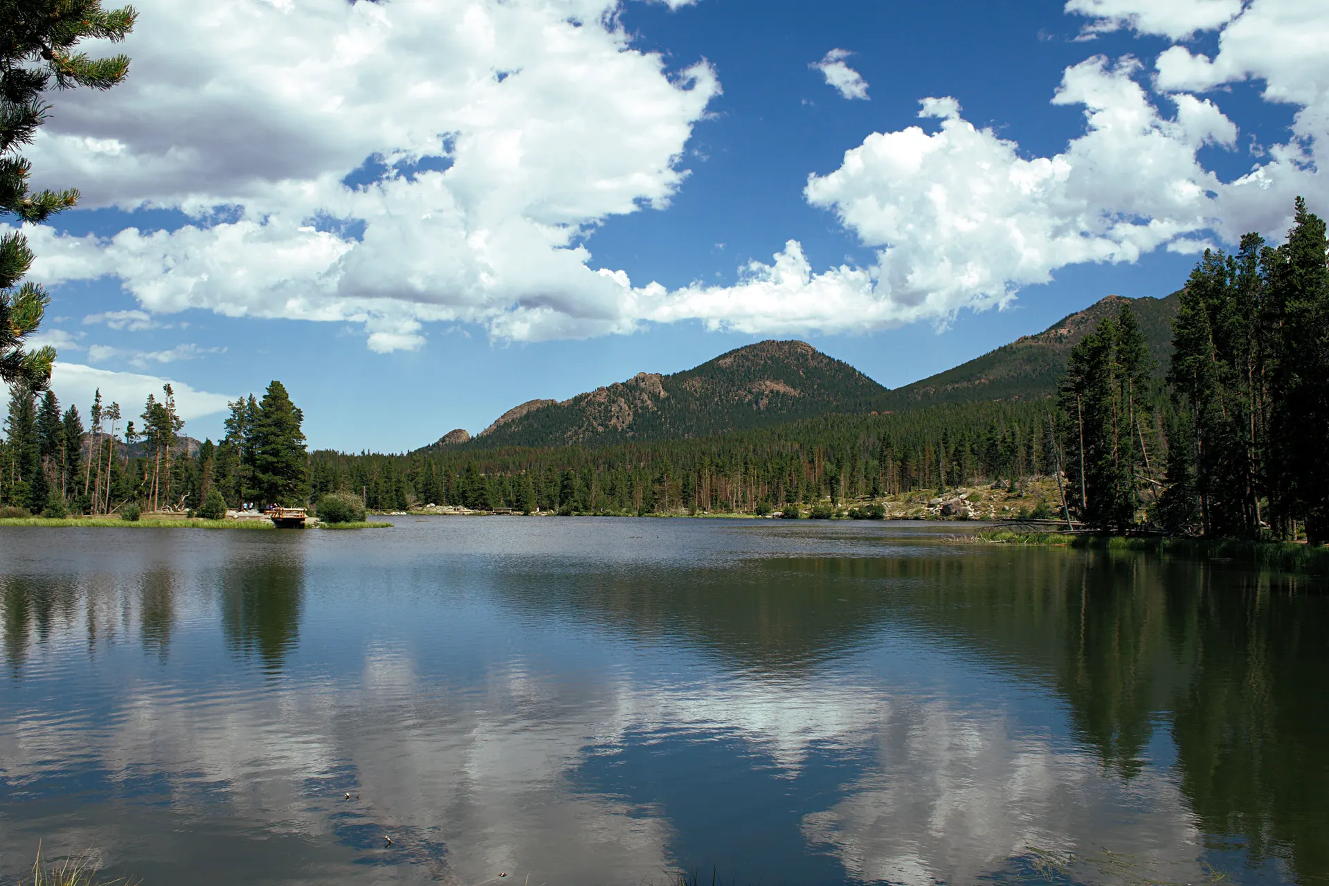
Rocky Mountain National Park
Alpine lakes, Trail Ridge Road, and the best high-country hikes near Estes Park.
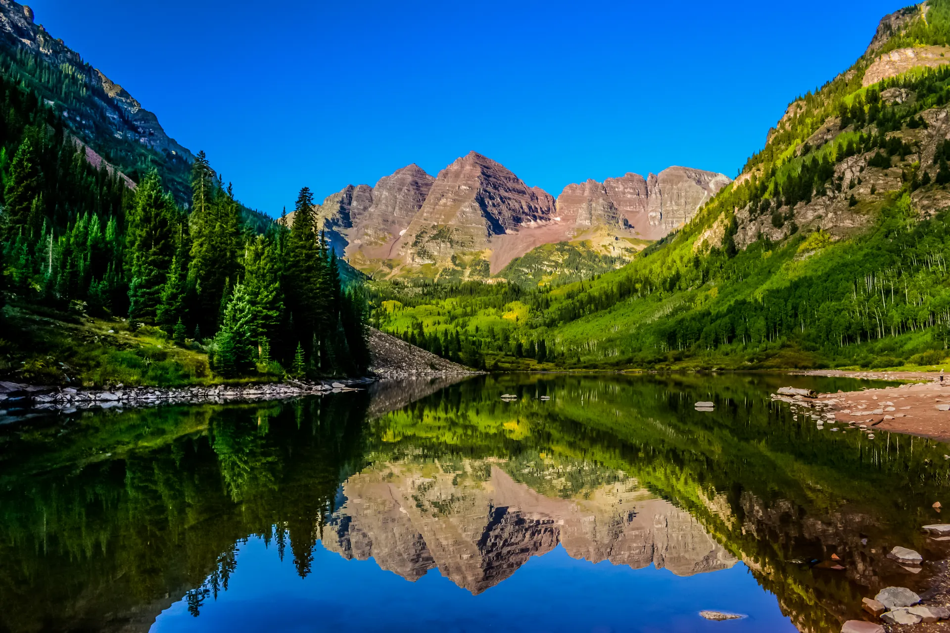
Maroon Bells Four Pass Loop
Colorado's classic 26-mile backpacking loop over four high passes near Aspen.
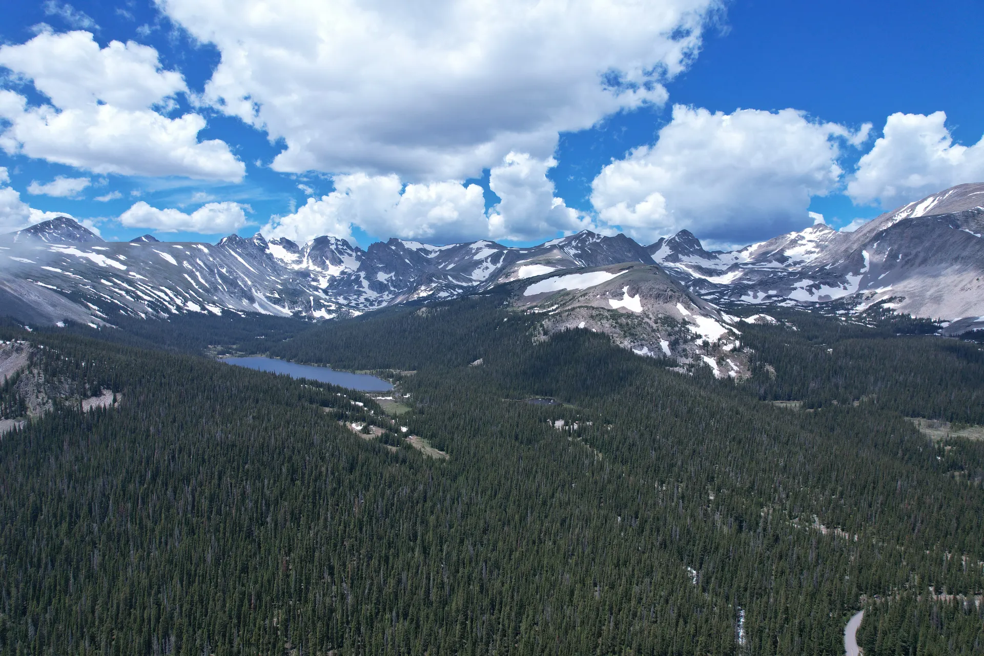
Indian Peaks Wilderness
Alpine lakes, high passes, and a classic weekend backpacking loop just west of Boulder.
What adventurers say about us.
All reviews are from verified guests. ★★★★★ 5.0 average from 20+ bookings.
"Felt like going out with a really knowledgeable friend who just happens to know everything about the area. No awkward tour-guide energy, just a magnificent day."
"Yulia is an incredible guide. She knew every trail, every viewpoint, and exactly how to pace the day for our group. The photos she took of us were stunning. 100% booking again."
"I was visiting Seattle solo and this was the best decision I made on the trip. Yulia picked me up, had snacks, and took us to a trail I never would have found on my own. Absolute must-do."
"We did this as a couple's trip and it was perfect. Yulia adapted everything to us, our pace, our interests, our photo obsession. The mountain views were unreal."
"Phenomenal experience. Yulia has deep local knowledge and a real passion for the outdoors. She went out of her way to show us the hidden gems tourists never see. Will remember this forever."
"I've done a few guided hikes and this was by far the best. Yulia is warm, funny, and genuinely expert. The trail she chose had the most insane wildflower bloom, we got so lucky."
Fees, reservation windows, shuttle dates and trail closures are planning estimates. Confirm hours, road status and any reservations with the land manager before you go.
What other travelers are saying
Be the first to leave a tip or question for the next traveler.
Was this helpful?
One tap. It goes straight to Yulia and Margarita.
You can't hike it if you can't get the permit.
The best hikes in America run on lotteries that open once a year and sell out in minutes. Every trail runs on its own calendar. Pick the ones you want and we do the watching.
 Denali Road LotteryDenali NP · AKActivityReservationfair odds
 El Tovar HotelGrand Canyon South Rim · ArizonaLodgeReservationbrutal odds
 Grand Canyon BackcountryGrand Canyon NP · ArizonaBackcountryReservationfair odds
 Grand Canyon raftingColorado River · ArizonaActivityLotterybrutal odds
 Havasu FallsHavasu Canyon · ArizonaLodgeReservationbrutal odds
 Phantom RanchGrand Canyon NP · ArizonaLodgeLotterybrutal odds
 The WaveCoyote Buttes North · Arizona / UtahPermitLotterybrutal odds
 Half Dome CablesYosemite NP · CaliforniaPermitOpens Mar 1fair odds
 Lost Coast TrailKing Range NCA · CaliforniaBackcountryReservationtough odds
 Mt. WhitneyInyo NF · CaliforniaPermitOpens Feb 1tough odds
- The Ahwahnee, YosemiteYosemite NP · CaliforniaLodgeReservationbrutal odds
 Conundrum Hot SpringsMaroon Bells-Snowmass · ColoradoBackcountryOpens Feb 15brutal odds
 Kalalau TrailNa Pali Coast SWP · HIBackcountryReservationbrutal odds
 Glacier NP BackcountryGlacier NP · MontanaBackcountryLotterytough odds
 Lake McDonald LodgeGlacier NP · MontanaLodgeReservationbrutal odds
 Many Glacier HotelGlacier NP · MontanaLodgeReservationbrutal odds
 Sperry & Granite Park ChaletsGlacier NP · MontanaLodgeReservationbrutal odds
 Crater Lake LodgeCrater Lake NP · ORLodgeReservationbrutal odds
 LeConte LodgeGreat Smoky Mountains NP · TNLodgeOpens Oct 1brutal odds
 Angels LandingZion NP · UtahPermitLotterytough odds
 The Narrows Through-HikeZion NP · UtahBackcountryReservationtough odds
 The SubwayZion NP · UtahPermitLotterytough odds
- Zion LodgeZion Canyon · UtahLodgeReservationbrutal odds
 Mount St. Helens Summit ClimbGifford Pinchot NF · WashingtonPermitReservationtough odds
 Paradise InnMount Rainier NP · WashingtonLodgeReservationbrutal odds
 The EnchantmentsAlpine Lakes Wilderness · WashingtonBackcountryOpens Feb 15brutal odds
- Wonderland TrailMount Rainier NP · WashingtonBackcountryLotterybrutal odds
- Cougar Rock CampgroundWashington · WashingtonBackcountryOpens Jan 15tough odds
 Old Faithful InnYellowstone NP · WYLodgeReservationbrutal odds
How it works
- An email the morning each window opens, never the day after.
- A 14-day heads-up so you can line up your group and dates.
- Win odds and a ranked backup plan for every trail you pick.
Didn't win? We keep watching. We check recreation.gov every day for The Enchantments, Half Dome and Angels Landing, and email you the moment a sold-out date frees up. Cancellations are the second chance most people never hear about.
“I’ve requested to book a Chain Lakes Loop guide on ExplorOFF, and it was the best idea ever! I highly recommend going with their guided option since you get a real human connection on the trail and don’t have to worry about a thing. Yulia was great to talk to!”