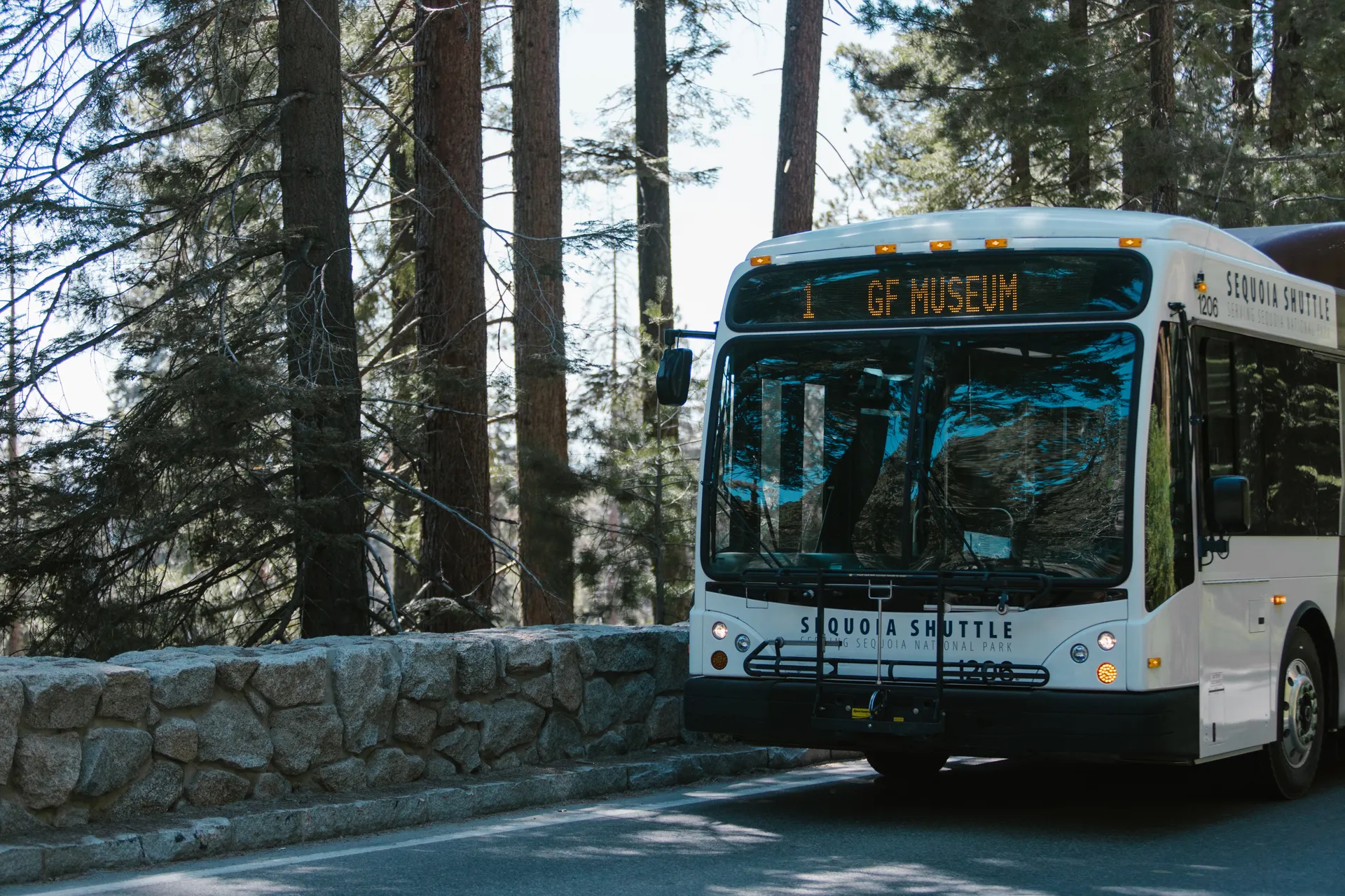
Yosemite to Sequoia National Park: Distance, Route and the Kings Canyon Add-On
Sequoia National Park to Yosemite is about 175 miles and 4 to 5 hours by car. There is no direct road across the Sierra between the two parks, so every route loops south through Fresno first. The fastest way to Sequoia's Giant Forest is Highway 41 to Highway 198, about 4 hours. If you want to see Kings Canyon on the way, take Highway 180 instead and drive the Generals Highway south, which adds roughly 30 minutes. Our California national parks family loop and the new Sequoia National Park itinerary both build this drive in.
Yosemite to Sequoia National Park: Distance and Route
There is no through-road over the Sierra Nevada between Yosemite and Sequoia. The two parks sit less than 40 miles apart as a bird flies, but the crest between them has no paved crossing, so every car route drops south out of Yosemite, crosses the Central Valley near Fresno, and climbs back up into the mountains from a different canyon. That loop is what makes the drive 4 to 5 hours instead of the hour or two the map distance suggests.
From Yosemite Valley, Highway 41 south to Fresno is 94 miles and about 2 hours 15 minutes. From there, two highways climb back into the mountains: Highway 198 to Sequoia's Ash Mountain entrance, or Highway 180 to Kings Canyon's Big Stump entrance. Both climbs take roughly another 1 hour 45 minutes to 2 hours, so plan on 4 hours minimum for the direct route and closer to 5 with a stop in Fresno for gas or food.
Two Routes South
| Route | Roads | Drive Time | What You See |
|---|---|---|---|
| Direct to Sequoia | CA-41 to Fresno, then CA-198 to Ash Mountain | About 4 hours | Fastest way to Giant Forest and the General Sherman Tree |
| Via Kings Canyon | CA-41 to Fresno, then CA-180 to Big Stump, then the Generals Highway south | About 4 hours 30 minutes | Kings Canyon's Big Stump Grove and the General Grant Tree before you reach Sequoia |
Add Kings Canyon Along the Way
If you take Highway 180 out of Fresno instead of 198, you hit the Big Stump entrance to Kings Canyon National Park first, not Sequoia. The Generals Highway then carries you south through Kings Canyon and into Sequoia, ending at Giant Forest and Lodgepole. It is the slower of the two routes by about 30 minutes, and it is a mountain road with turns, but it means you see two of the three Sierra parks without a real detour. This is the route our itinerary builders use for a first trip.
Once you are past Grant Grove, the Generals Highway is the only road connecting the two parks. It is narrow in places and gets chain requirements in winter storms, so check the current park roads page before a late fall or winter trip.
Yosemite to Kings Canyon National Park
If Kings Canyon is your only stop, Highway 41 to Highway 180 gets you to Grant Grove in about 3 hours 30 minutes. Continuing past Grant Grove down into the canyon itself, to Cedar Grove and the floor of Kings Canyon, takes closer to 4 hours total from Yosemite Valley and that section of road is seasonal, typically open only in late spring through fall.
Where to Stop: Fresno
Fresno sits almost exactly halfway and is the only real city on this drive. It has the nearest airport to both parks, Fresno Yosemite International (FAT), which is about 1 hour 15 minutes from the Kings Canyon entrance and about 1 hour 45 minutes from Sequoia's Ash Mountain entrance. If you are flying in rather than driving from Yosemite, Fresno is the more practical base than Los Angeles or San Francisco. Our California national parks family loop uses Fresno as this same midpoint stop. Stop here for gas and food either way; once you turn off Highway 99 onto 198 or 180, services thin out fast until you reach the park gateway towns.
Pack for a change in elevation on either route. Yosemite Valley sits at about 4,000 feet, Fresno drops to around 300 feet in the Central Valley, and Sequoia's Giant Forest climbs back to roughly 6,400 feet. That swing means real temperature differences between your stops, especially in spring and fall when the Valley floor can be warm while Giant Forest still has snow on the ground.
Have Us Plan the Drive
Tell us how many days you have and whether Kings Canyon fits, and we will build the route, stops and lodging around it. Planning is free, and we earn only if you book through us.
Yosemite to Sequoia National Park: Distance, Route and the Kings Canyon Add-On FAQs
About 175 miles and 4 to 5 hours by car, since no road crosses the Sierra between them. The direct route is Highway 41 to Fresno, then Highway 198 to the Ash Mountain entrance.
No. There is no paved road over the Sierra crest between the two parks. Every route drops south through the Central Valley near Fresno before climbing back up into the mountains on a different highway.
About 3 hours 30 minutes to the Grant Grove entrance via Highway 41 and Highway 180, or closer to 4 hours if you continue down into Cedar Grove, which is open seasonally.
Yes. Taking Highway 180 out of Fresno instead of Highway 198 routes you through Kings Canyon's Big Stump entrance first, then the Generals Highway carries you south into Sequoia. It adds about 30 minutes over the direct route.
Roughly 340 miles and about 6 hours 15 minutes, either north on Highway 99 through Sacramento or around on Highway 395 on the east side of the Sierra. There is no shortcut over the mountains between them, so check current road conditions before you plan the drive.
Fresno, which sits close to the halfway point on Highway 41 and is the only real city on the route. It also has the nearest airport to both parks if you are flying in instead of driving from Yosemite Valley.
Yes. The worked day-by-day plan is California National Parks Family Loop: A 10-Day Itinerary (10 Days), with the permits, the stays and the drive times already sorted. Tell us your dates and we will put it together for you and confirm what is genuinely open on those days. Asking is free: no card, no deposit, and nothing is held until you say yes.






























