Yellowstone Upper and Lower Loop: Maps, Miles and Scenic Drives
The Grand Loop Road is a 142 mile figure eight. The Upper Loop is the northern circle at about 70 miles, covering Mammoth, Tower, Canyon and Norris. The Lower Loop is the southern circle at about 96 miles, covering Madison, Old Faithful, West Thumb, Lake, Canyon and Norris. They share the Norris to Canyon stretch in the middle. One loop is a full day each. Doing both in a day means seeing neither.
The Lower Loop, about 96 miles
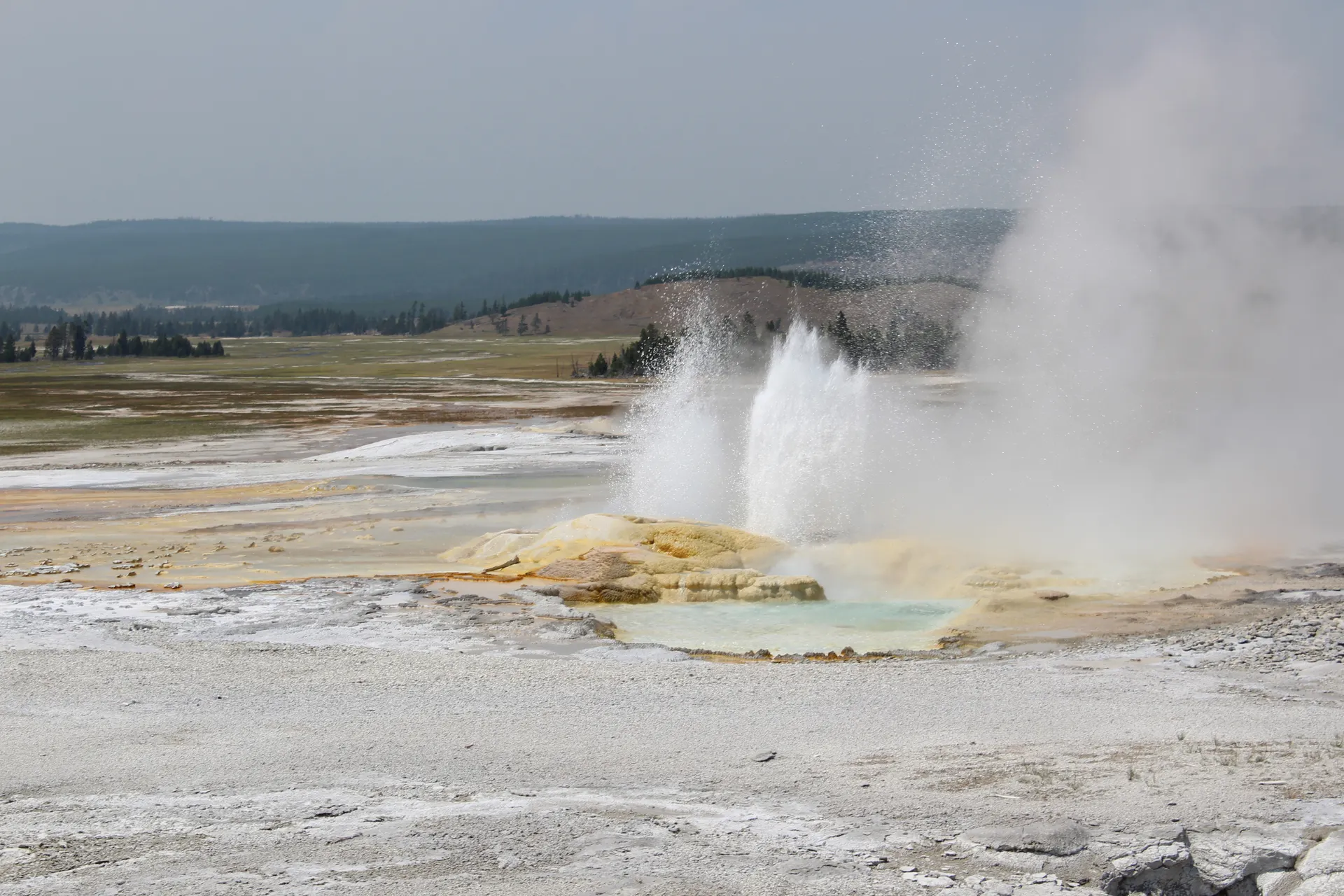
This is the geyser half and the one most people drive first. Running clockwise from Madison: Firehole Canyon, the Fountain Paint Pots, Grand Prismatic at Midway Geyser Basin, Old Faithful and the Upper Geyser Basin, over Craig Pass to West Thumb, north along Yellowstone Lake to Fishing Bridge, up the Hayden Valley for bison, the Grand Canyon of the Yellowstone at Canyon, then west to Norris and back to Madison.
Allow a full day and then some. The Upper Geyser Basin alone is a three hour walk if you want to see more than Old Faithful erupt, and Hayden Valley in the evening is the best wildlife watching on this side of the park.
The Upper Loop, about 70 miles
The northern circle is shorter, quieter and better for animals. From Mammoth Hot Springs east past the Blacktail Plateau, down to Tower Fall and the Roosevelt area, south over Dunraven Pass at 8,859 feet to Canyon, then west to Norris and north through the Gibbon Canyon back to Mammoth.
Dunraven Pass is the piece that closes first and opens last, usually late May to mid October. When it is shut the Upper Loop is not a loop, and you backtrack.
The five side drives worth the detour
- Firehole Canyon Drive. Two miles, one way, south of Madison. Firehole Falls and the summer swimming area.
- Firehole Lake Drive. Three miles, one way, past Great Fountain Geyser, which is the most under watched big geyser in the park.
- Blacktail Plateau Drive. Six miles of one way dirt off the Upper Loop, closed in wet conditions. Good for bears in spring.
- Virginia Cascade Drive. Two and a half miles, one way, near Norris, past a 60 foot cascade on the Gibbon.
- The Northeast Entrance Road. Not a loop at all. Tower Junction to Cooke City through the Lamar Valley, and the single best wildlife drive in the lower 48.
How to sequence them
- Two days. One loop each, lower first if you came in the West Entrance, upper first from the North.
- Three days. Lower Loop, Upper Loop, then a third day for Lamar Valley at dawn and a hike.
- Five days or more. Split the Lower Loop in two so Old Faithful and the lake get their own days. Our 5 day itinerary does exactly that.
One rule regardless of length: drive the loops early. Traffic and parking at Grand Prismatic and Old Faithful are unmanageable between 10am and 4pm in July and August, and the animals are lying down anyway.
Yellowstone Upper and Lower Loop: Maps, Miles and Scenic Drives FAQs
About 96 miles. It covers Madison, Old Faithful, West Thumb, Yellowstone Lake, Hayden Valley, Canyon and Norris, and it takes a full day to drive with stops.
The lower loop is the geyser half, about 96 miles, including Old Faithful and Grand Prismatic. The upper loop is the northern circle, about 70 miles, covering Mammoth, Tower and Dunraven Pass, and it is better for wildlife.
You can cover the 142 miles, but with a 45 mph limit, bison jams and no shortcuts you will spend the day in the car. Give each loop a day.