Theodore Roosevelt National Park splits into two main units roughly 70 miles apart along Interstate 94, and each one rewards hikers with a different flavor of the North Dakota badlands. The South Unit, anchored by the town of Medora, is the busier and more developed of the two. The North Unit, reached from Watford City, is quieter, greener, and arguably more dramatic. Between them you can string together everything from a 30-minute interpretive loop to a multi-day backcountry traverse. Here are the trails worth planning your trip around.
Petrified Forest Loop (South Unit)
The 10.3-mile Petrified Forest Loop is the signature long hike of the South Unit, and it holds one of the largest concentrations of petrified wood in any U.S. national park. You reach the trailhead by driving a gravel spur off West River Road, then hiking down into a maze of coulees where ancient stumps lie scattered like fallen columns. Go counterclockwise to tackle the steep section early, carry at least three liters of water, and start before mid-morning in summer because there is almost no shade once you drop below the rim.
Caprock Coulee Trail (North Unit)
If you only do one hike in the North Unit, make it the Caprock Coulee Nature Trail and its longer loop. The full 4.3-mile loop climbs from the river bottom up onto the Achenbach Trail ridgeline, delivering big views over the Little Missouri River valley and the Oxbow Overlook. You will pass classic caprock formations, where harder rock has sheltered softer clay into mushroom-shaped pedestals. This is also one of the best places in the park to spot bighorn sheep, which were reintroduced to the North Unit and now graze the upper slopes.
Wind Canyon Trail (South Unit)
For sunset, nothing in the park beats the short Wind Canyon Trail, a 0.4-mile out-and-back to a wind-carved bluff above a sweeping bend in the Little Missouri River. It is an easy walk suitable for almost anyone, and the golden-hour light on the layered bluffs is the photograph most people leave Medora with. Combine it with the nearby Scenic Loop Drive overlooks for an easy evening.
Achenbach Trail (North Unit Backcountry)
Serious backpackers should look at the Achenbach Trail, an 18-mile loop that fords the Little Missouri River twice and is the only true overnight route in the North Unit. River levels dictate whether the crossings are safe, so check at the Visitor Center before you commit. This trail connects naturally to a paddling trip, since you are following the same braided river corridor that paddlers run downstream. If you want to combine boots and a boat, our North Dakota canoe trip itinerary threads together the badlands rivers and Lake Sakakawea into a single ten-day route.
Family-Friendly Short Walks
Not every hike here needs to be an expedition. A few standouts for families and short-on-time visitors:
- Coal Vein Trail (0.8 mile, South Unit) interprets an underground coal seam that burned for decades, baking the surrounding clay into red scoria.
- Buck Hill (0.2 mile, South Unit) is a quick climb to one of the highest points in the park with a 360-degree badlands panorama.
- Little Mo Nature Trail (0.7 or 1.1 mile, North Unit) loops along the riverbank with a paved inner option for strollers and wheelchairs.
- Boicourt Overlook Trail (0.5 mile, South Unit) follows a narrow ridge to a spectacular dropoff that feels far more remote than its length suggests.
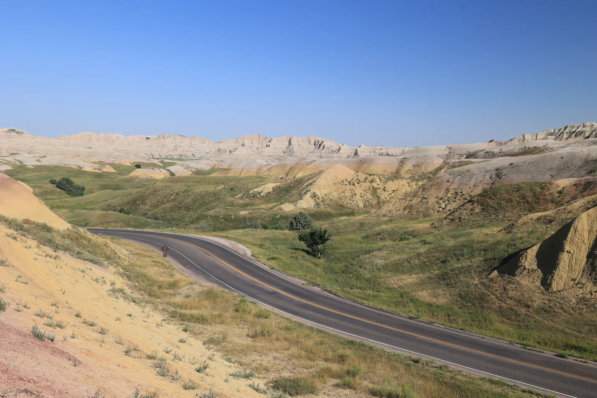
When and How to Hike Here
The hiking window runs roughly from May through October, with June and September offering the best mix of mild temperatures and manageable crowds. July and August can push past 95 degrees with little shade, so save big loops for early morning. Spring brings green hills and wildflowers but also gumbo, a slick bentonite clay that turns trails into a boot-grabbing mess after rain. Always carry more water than you think you need, watch for prairie rattlesnakes on warm rock, and give the park's free-roaming bison a wide berth of at least 25 yards. Cell service is unreliable in both units, so download maps before you arrive in Medora or Watford City.


