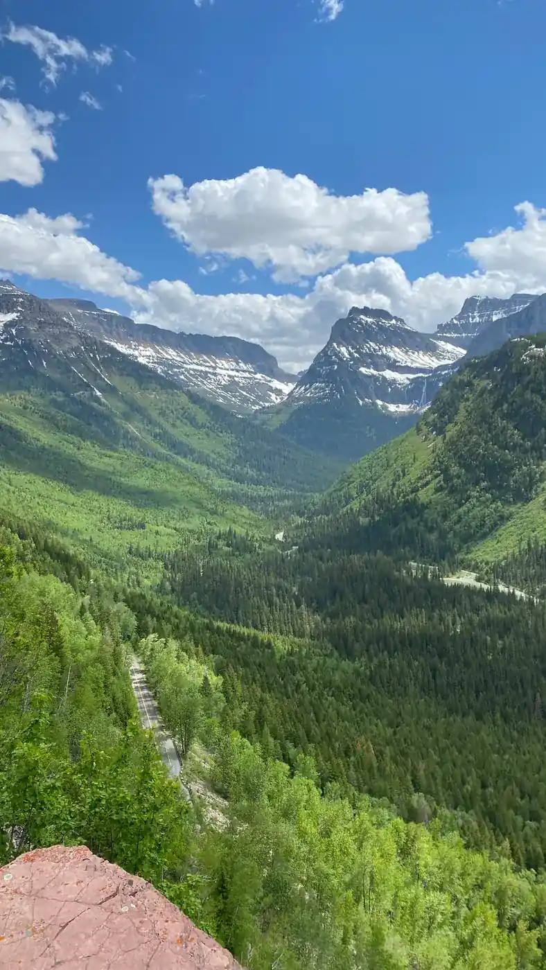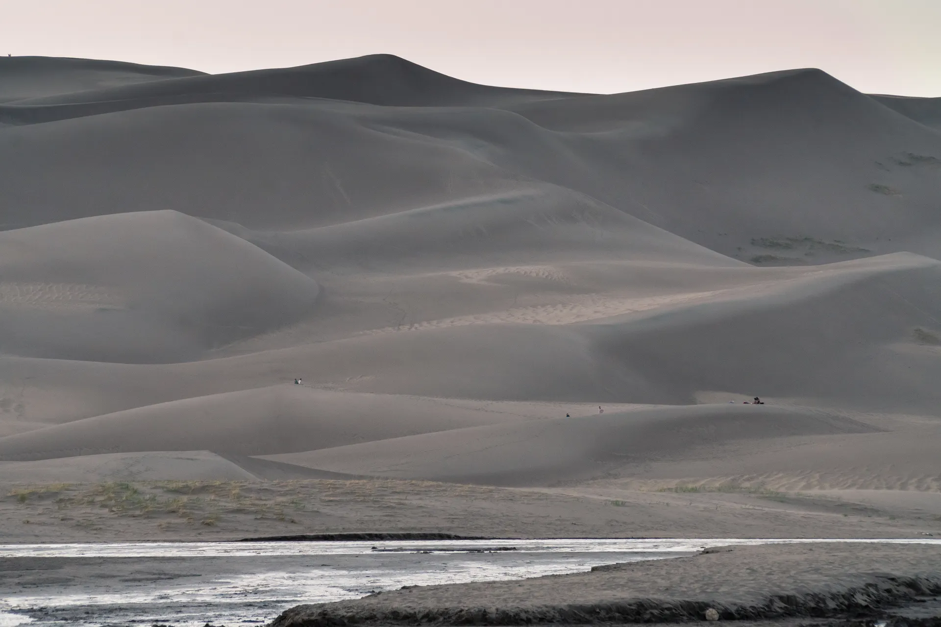
What you are driving to: the tallest dunes in North America, up to 741 feet from base to crest, sitting in a valley at 7,500 feet against the 13,000 and 14,000-foot wall of the Sangre de Cristo range. The contrast is the whole point.
Route 1: Interstate 25 and US-160
The fast one. 235 miles, about four hours.
Interstate 25 south through Colorado Springs and Pueblo to Walsenburg at exit 52, then US-160 west over La Veta Pass at 9,413 feet, then north on CO-150 for 16 miles to the park entrance.
Almost all of it is four-lane. It is the right call in winter, at night, or if you are trying to be on the sand by mid-morning.
Route 2: US-285 Through the San Luis Valley
The good one. Similar distance, similar time, considerably better.
US-285 southwest out of Denver over Kenosha Pass into South Park, down through Fairplay and Buena Vista, past Salida and Poncha Springs, then south over Poncha Pass into the San Luis Valley. The valley is a flat, high, strange basin the size of Connecticut with mountain ranges on both sides. Follow US-285 to Mosca, turn east on CO-150.
Drive out this way and back on Interstate 25 so you see both.
Getting Onto the Dunes
Entrance is $25 per vehicle for seven days, or an America the Beautiful pass. No timed entry, no reservation.
There are no trails in the dunefield. You park at the Dunes Parking Area, walk across the creek bed, and go wherever you want.
- High Dune on First Ridge: 699 feet of climb, about 2.5 miles round trip, one to two hours. The standard objective, and it gives you the view across the whole dunefield.
- Star Dune: 741 feet, the tallest, and a much longer and harder walk out along the ridgelines. Half a day.
- Hidden Dune: measured at a similar 741 feet, further still, and almost nobody goes.
Sand walking is roughly twice as tiring as trail walking. Ridgelines are firmer than faces. Plan half the pace you would expect.
The Heat Problem
On a summer afternoon the sand surface reaches around 150°F. That is hot enough to burn bare feet and dogs' paws, and it is the single most common way people ruin this visit.
Go before 10am or after 4pm from June through August. Wear closed shoes. Bring more water than seems reasonable, because there is no shade anywhere in the dunefield and you are at 8,000 feet.
Afternoon thunderstorms build most summer days, and an open dunefield is the worst place in Colorado to be caught in lightning. Watch the sky and leave early.
Medano Creek
For a few weeks in late spring, snowmelt runs out of the mountains and spreads across the sand at the base of the dunes in a wide, ankle-deep sheet. It moves in surge flow, pulses of water that build and release every twenty seconds or so, which is a genuinely unusual thing to watch.
Peak is usually late May into early June. It thins through June and is often gone by late July. Snowpack decides it, so check the park's current conditions page before planning a trip around it.
This is also the busiest window of the year. Weekends in that stretch fill the lot by mid-morning.
Sandboarding
Sandboards and sand sleds work, but only the proper waxed kind. A plastic snow sled will not slide. Nothing is sold or rented inside the park.
Rent at the Oasis just outside the park entrance, or from outfitters in Alamosa, about 35 minutes south. Rentals include wax, and you will need to reapply it constantly.
Where to Sleep
Piñon Flats Campground inside the park has 88 sites, books through Recreation.gov and fills for summer weekends well ahead. It sits in piñon and juniper with the dunes right there.
Backpacking on the dunes is allowed beyond the first ridge with a free permit. Numbers are limited. Check Recreation.gov for the current process, since it has moved from walk-up to online in recent years.
Otherwise, Alamosa has the motels and is 35 minutes away.
What Else Is Out There
- Zapata Falls, ten minutes south of the park turnoff and then 3.5 miles up a rough gravel road. A short trail leads to a creek you wade into a slot in the rock to see a 25-foot fall. Cold water, slippery footing, and worth it. In deep winter it freezes solid.
- Medano Pass Primitive Road, a 22-mile four-wheel-drive route over the range with nine creek crossings and a stretch of deep sand. High clearance, low range, and airing down. Not for a rental sedan.
- The San Luis Valley: the UFO Watchtower at Hooper, an alligator farm outside Mosca, and the oldest town in Colorado at San Luis. It is a genuinely odd corner of the state.
- Mount Herard and the Sangre de Cristo wilderness behind the dunes, for anyone who came to climb rather than slide.
Making It a Loop
The dunes work best as one stop on a southern Colorado circuit. From here it is four hours west on US-160 over Wolf Creek Pass to Mesa Verde, or three hours northwest to Black Canyon of the Gunnison. Three national park units, two nights, and no repeated road.
Denver to Great Sand Dunes: Drive Time, Route and What to Do There FAQs
About 235 miles and four hours by the fastest route, south on Interstate 25 to Walsenburg and west on US-160. The scenic route through South Park and the San Luis Valley is a similar distance and about the same time.
About 290 miles and five hours, since you have to come down out of the mountains and cross the Denver metro area or swing around it on the west side first.
About 230 miles and four hours east on US-160 over Wolf Creek Pass, which at 10,857 feet is one of the more dramatic paved crossings in the state. The two parks pair well on a southern Colorado loop.
Yes, anywhere. There are no trails and no restrictions on the dunefield. High Dune is about 2.5 miles round trip from the main lot with 699 feet of climb, and it takes most people one to two hours because of the sand.
Peak flow is usually late May into early June, fed by snowmelt off the Sangre de Cristos. It typically thins through June and is often dry by late July. Flow varies a lot year to year with the snowpack.
Not inside the park, which sells none. The Oasis store just outside the entrance rents them, as do outfitters in Alamosa about 35 minutes away. Ordinary snow sleds do not work on sand, so renting the proper waxed board is not an upsell.
About 170 miles and 2 hours 45 minutes, the same Interstate 25 to Walsenburg to US-160 route as from Denver, just starting about 70 miles further south.
Pair it with Mesa Verde, about four hours west over Wolf Creek Pass, or Black Canyon of the Gunnison, about three hours northwest, for a southern Colorado loop that hits three park units in a long weekend. Drive Interstate 25 down and US-285 through South Park and the San Luis Valley back, or the reverse, so you never repeat a road.
Wade Medano Creek in late spring while it is running, sandboard or sand-sled on the dunefield, drive the Medano Pass Primitive Road if you have high clearance and 4WD, hike to Zapata Falls about ten minutes south, and after dark look up, since this is one of the darker skies in Colorado. The UFO Watchtower and an alligator farm are odd extra stops nearby in the San Luis Valley.
Yes. The worked day-by-day plan is Denver Itinerary: 3 Days from Red Rocks to the Rockies (3 Days), with the permits, the stays and the drive times already sorted. Tell us your dates and we will put it together for you and confirm what is genuinely open on those days. Asking is free: no card, no deposit, and nothing is held until you say yes.