Four Jobs, Not One
Planning a road trip is four separate problems, and most of the frustration with these apps comes from expecting one tool to solve all four.
- Routing. Where does the car go and how long does each leg take.
- Discovery. What is worth stopping for along that line.
- Structure. Which nights are where, and what gets booked.
- Navigation. Turn by turn, including where there is no signal.
Pick a tool per job and the whole thing gets easier.
Routing and Navigation
Google Maps
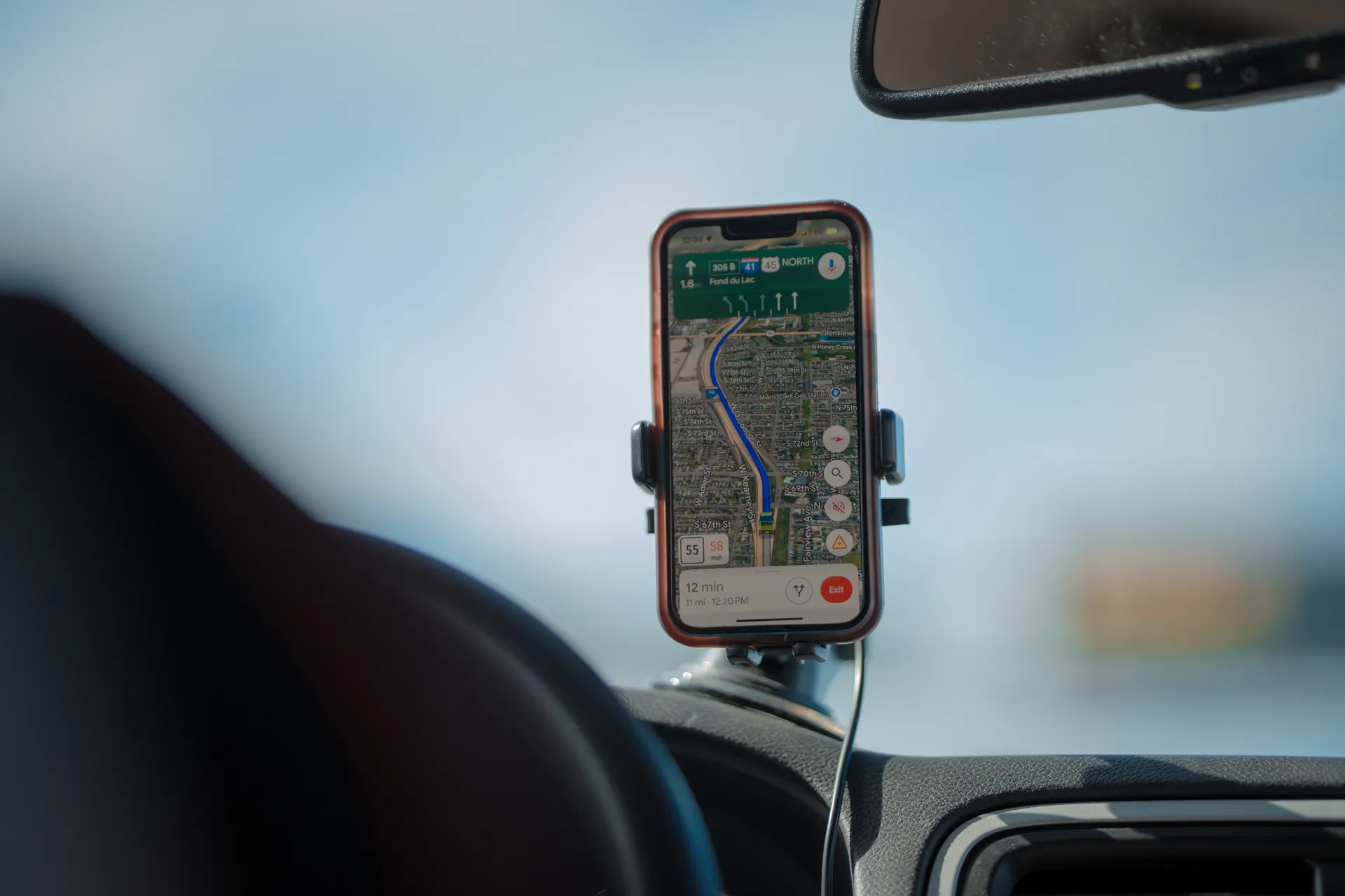
Still the right answer for the driving. It handles multi-stop routes, roughly nine stops on mobile and ten on the web, you can drag the line to force a scenic road, and it downloads regions for offline use.
Two things it does badly. It optimises for speed, so it will route you around the good road. And it has no concept of a trip that spans days, so a two-week plan lives in a dozen separate saved routes.
Waze
Best-in-class for live traffic, police and hazards. Useless for planning. Use it inside cities and on the day, not in the planning stage.
Apple Maps
Much better than its reputation, with offline downloads and good lane guidance. Fewer stops per route than Google and a thinner point-of-interest database in rural areas.
Building the Plan
Wanderlog
The one to start with. A shared itinerary where each day holds stops, notes and reservations, with a map alongside. It parses booking confirmations, splits costs, and the free tier is genuinely usable.
Best for: a trip where several people are adding ideas and somebody has to turn them into days.
Furkot
The deepest planner of the lot and the least pretty. You tell it how many hours a day you are willing to drive and when you want to stop, and it places overnight stops for you across the whole route. For a three-week trip that constraint solving is worth a lot.
Best for: long trips, van and RV travel, anyone who has ever discovered at 9pm that the next town is 140 miles away.
TripIt
Not a route planner. It reads confirmation emails and assembles them into an itinerary. Useful if your trip is mostly flights and hotels, close to useless if it is mostly driving.
Finding Stops
Roadtrippers
Set two ends and it fills a corridor with roadside attractions, viewpoints, diners and oddities. Nothing else does this as well.
The catch is the waypoint cap on the free tier, which is low enough that a real trip hits it. That cap is the entire upgrade pitch and you should decide whether the discovery is worth it before you pay.
The one nobody mentions
A state Atlas and Gazetteer, the large paper kind. Forest service road numbers, land ownership, dirt tracks, boat launches. Phone maps flatten all of that away and the atlas is where the trip stops being the same one everybody else took.
When the Pavement Ends
Gaia GPS
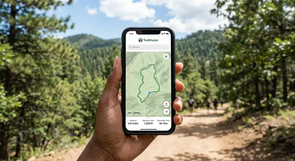
Topographic layers, land ownership, forest service roads, and offline downloads that actually hold detail. If your route includes a national forest, a dispersed campsite or a trailhead down eleven miles of gravel, this is the app.
onX Offroad
Similar territory with a stronger focus on trail difficulty and gate status. Popular with the overland crowd.
Avenza Maps
Free, and the reason to have it is that the National Park Service publishes georeferenced PDF maps you can load into it. Your blue dot on the official park map, offline, at no cost.
Sleeping
- Recreation.gov for anything federal: national park campgrounds, forest service sites, permits. This is the booking system, not a discovery tool.
- The Dyrt for campground search with reviews and photos.
- iOverlander, free and crowdsourced, for dispersed and roadside spots. The data is uneven and occasionally out of date, which is the trade for it being free.
- Hipcamp for camping on private land, which fills the gaps where the public campgrounds are booked out.
A Stack That Works
For a two-week national park trip:
- Wanderlog to lay out the days and hold the bookings.
- Recreation.gov for the campgrounds and any timed entry, booked the moment the window opens.
- Google Maps for driving, with every region downloaded offline before you go.
- Avenza with the free park maps loaded, for inside the parks where signal disappears.
- Gaia GPS if any of it is on dirt.
That is one paid subscription at most, and often none.
The Thing the Apps Cannot Do
None of them know that Going-to-the-Sun Road does not open until late June, that Arches has needed a timed entry ticket booked months out in past years (not in 2026, but check before you go), or that the Hoh Rain Forest closes its road when the lot fills at 10am.
Route planners plan routes. The constraints that actually ruin trips are permits, opening dates and reservation windows, and those live in the park's own planning pages. Check those first, then let the app draw the line.
Best Road Trip Planning Apps: What Each One Is Actually For FAQs
For building a multi-day plan, Wanderlog if you want it simple and collaborative, Furkot if you want it to solve daily driving limits and overnight stops for you. For finding stops along a route you have already set, Roadtrippers. For the actual driving, Google Maps.
Yes, up to about nine stops on mobile and ten on the web, and it will let you drag the route to change it. What it will not do is suggest what is worth stopping for, or plan around how far you want to drive each day.
Usually not. The free tiers of Wanderlog, Furkot and Google Maps cover a standard two-week trip. The paid tiers earn their money in two cases: offline maps in areas with no service, and campground data if you are travelling in a van or an RV.
Roadtrippers is built for exactly that: you set the two ends and it surfaces points of interest inside a corridor along the way. The free tier caps how many waypoints a trip can hold, which is the main reason people upgrade.
Google Maps and Apple Maps both download regions for offline use, and that covers highway navigation. For dirt roads, forest service numbers and trailheads, Gaia GPS or onX Offroad hold far more detail offline. Download before you leave service, not when you notice you have lost it.
On any trip that leaves the interstate, yes. A state Atlas and Gazetteer shows forest service road numbers and land ownership that phone maps flatten out, and it works when the phone is dead.
Yes. The worked day-by-day plan is National Park Road Trip: A 7-Day Southwest Itinerary (7 Days), with the permits, the stays and the drive times already sorted. Tell us your dates and we will put it together for you and confirm what is genuinely open on those days. Asking is free: no card, no deposit, and nothing is held until you say yes.