Wind River Range Thru-Hike: Boulder Lake to Green River Lakes
Half the range, on foot, from Boulder Lake to the Green River.
Seven days and about 53 miles north through the Bridger Wilderness, from Boulder Lake over Hat Pass and Shannon Pass to the headwaters of the Green River and out under Squaretop Mountain. A layover day in the middle, six camps by alpine lakes, one trail from start to finish.
“I’ve requested to book a Chain Lakes Loop guide on ExplorOFF, and it was the best idea ever! I highly recommend going with their guided option since you get a real human connection on the trail and don’t have to worry about a thing. Yulia was great to talk to!”




 17 stops on a real mapEvery stop pinned in order→
Wind River Range: every stop pinned in order.
Boulder Lake · Hat Pass · Tommy Lake · Shannon Pass · Green River Lakes
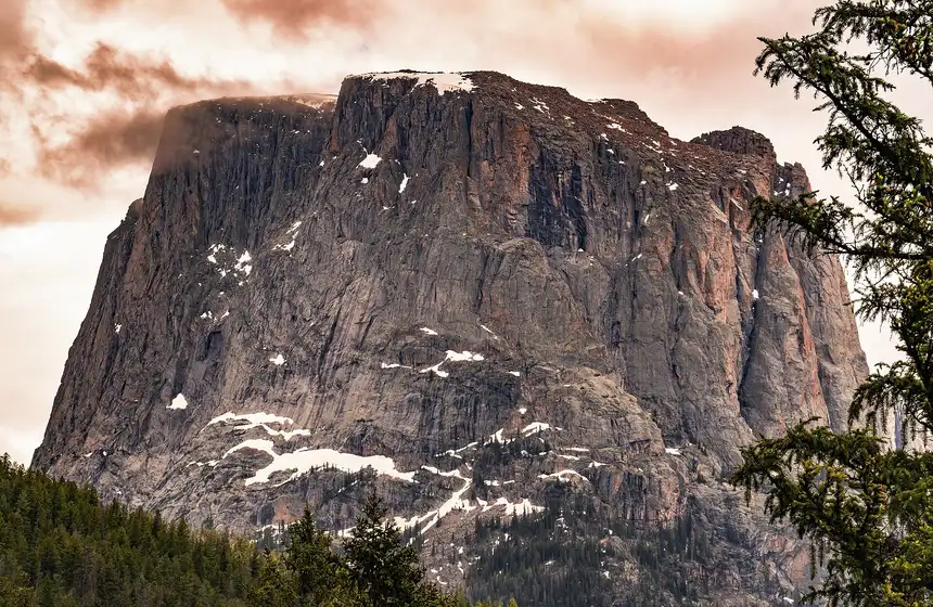
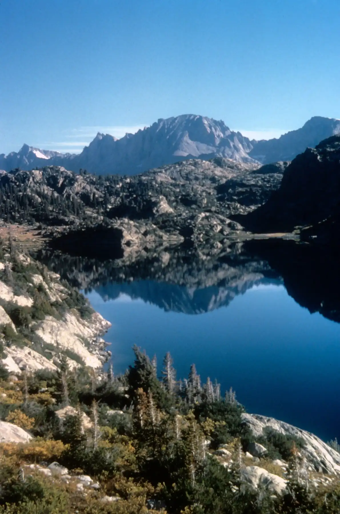
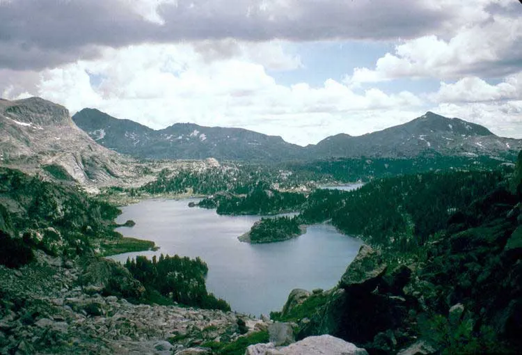
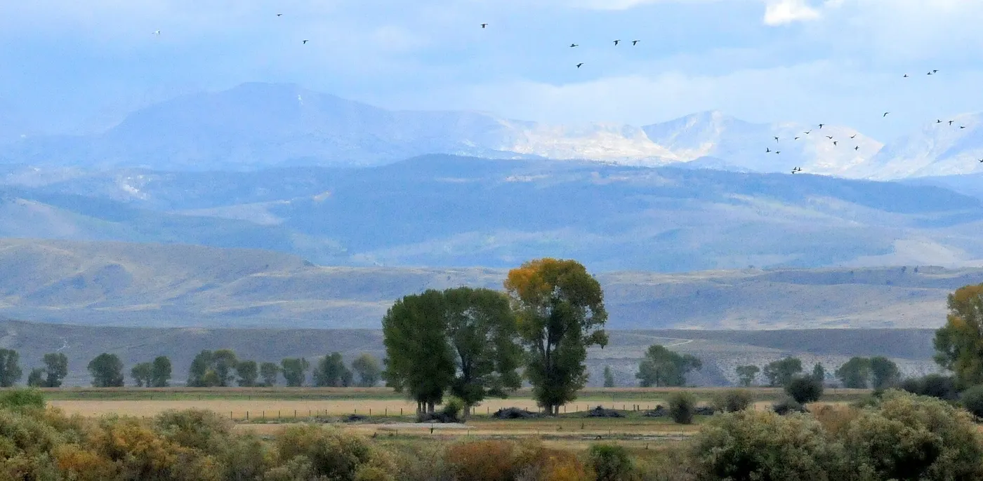
Wind River Range in photos: 4 of the stops.
Plan and book your 7 days in Wind River Range, one step at a time
How 7 days in Wind River Range split up
Plan 7 days for Wind River Range. Distance: ~53 mi. High point: 11,145 ft. Permit: None for a private party. The Wind River Range runs about 100 miles along the Continental Divide in western Wyoming, and the Bridger Wilderness covers its western side for 80 of them. This trip crosses the northern half of that wilderness in one line: in at Boulder Lake east of Pinedale, north over Hat Pass and Shannon Pass, and out at Green River Lakes, where the Green River leaves the mountains under Squaretop Mountain.
Day 1: Boulder Lake to Lake Christina
3 stops · Day one
Day 2: Over Hat Pass to Baldy Lakes
2 stops · Day two
Day 3: Baldy Lakes to Tommy Lake
2 stops · Day three
Day 4: Layover at Tommy Lake
2 stops · Day four
Day 5: Tommy Lake to Upper Jean Lake
2 stops · Day five
Day 6: Over Shannon Pass into the Green River Valley
3 stops · Day six
Day 7: Down the Green River to Green River Lakes
3 stops · Day seven
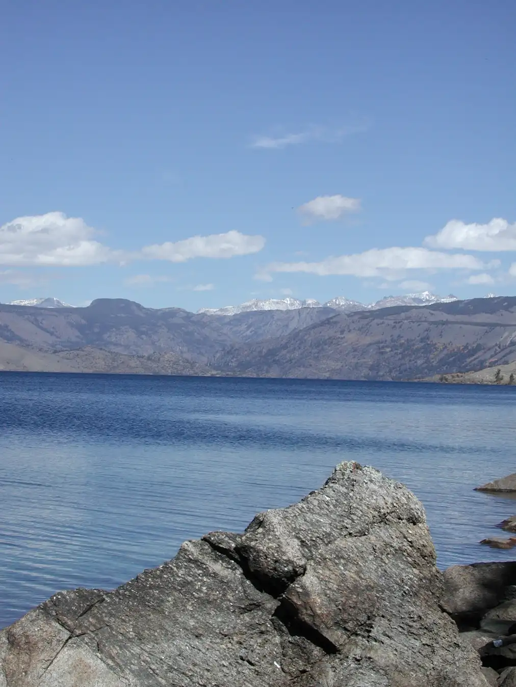
Boulder Lake to Lake Christina
Drive about two hours from Jackson through Pinedale to the Boulder Lake trailhead at about 7,300 feet, on the east side of Boulder Lake. The Forest Service lists separate parking for backpackers, toilets, and the Boulder Lake Campground next door.
Not the order you want? Drag a stop, or use the arrows beside it. Stops move between days too.
 Drive from
~2 hr 10 min via Pinedale to Boulder Lake trailhead · DriveFrom Jackson, about 77 miles to Pinedale and 24 more to the Boulder Lake trailhead: about two hours ten minutes. Pinedale is the last real town for fuel, food and bear spray.
- Boulder Lake trailhead
~7,300 ft · backpacker parking, toilets · HikeAbove the inlet on the east side of Boulder Lake, with separate parking for backpackers and horses, toilets, and the Boulder Lake Campground next door (USDA Forest Service).
Official info → 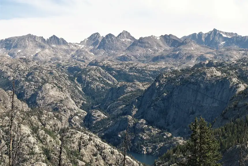 Camp near Lake Christina
~9.2 mi · ~9,300 ft · 200 ft from lake and trail · customUp the Boulder Canyon Trail past Lake Ethel and Eds Lake to Lake Christina, about 9.2 miles and close to 2,000 feet of net climbing. Camp at least 200 feet from the lake and the trail.
Over Hat Pass to Baldy Lakes
Climb past August and Rambaud lakes to Hat Pass at about 10,850 feet, the first pass of the trip and the first long view north along the range.
Not the order you want? Drag a stop, or use the arrows beside it. Stops move between days too.
- Hat Pass
~10,850 ft · first pass · ViewpointPast August and Rambaud lakes to Hat Pass at about 10,850 feet, the first pass and the first long view north along the range. Cross it in the morning.
- Camp at Baldy Lakes
~10.5 mi day · ~10,350 ft · short spur off the trail · customDown the Fremont Trail from Hat Pass to Baldy Lakes, about half a mile off the main trail. About 10.5 miles for the day.
Baldy Lakes to Tommy Lake
A short day at altitude: back to the trail, north past Peter Lake and Don Lake, and on to Tommy Lake at about 10,550 feet. About 5.7 miles.
Not the order you want? Drag a stop, or use the arrows beside it. Stops move between days too.
- Peter Lake and Don Lake
High lake country · ViewpointBack to the trail and north past Peter Lake and Don Lake.
- Camp at Tommy Lake
~5.7 mi day · ~10,550 ft · two nights · customTommy Lake at about 10,550 feet, home for two nights. A short day, about 5.7 miles, so arrive early and pick a good site.
Layover at Tommy Lake
No pack today. Rest, fish if you brought gear, and walk back along the trail toward the Cook Lakes, about a mile or two away, for a different view with nothing on your back.
Not the order you want? Drag a stop, or use the arrows beside it. Stops move between days too.
- Day walk toward the Cook Lakes
~1-2 mi each way · no pack · HikeBack along the trail toward the Cook Lakes with nothing on your back, or simply rest at camp.
- Second night at Tommy Lake camp
Same camp · customThe same camp as last night.
Tommy Lake to Upper Jean Lake
North on the Highline Trail past Lower Jean Lake to Upper Jean Lake at about 10,800 feet, the highest camp of the trip. About 7.9 miles above or near treeline much of the way.
Not the order you want? Drag a stop, or use the arrows beside it. Stops move between days too.
- Lower Jean Lake
On the Highline Trail · ViewpointNorth on the Highline Trail to Lower Jean Lake.
- Camp at Upper Jean Lake
~7.9 mi day · ~10,800 ft · highest camp · customUpper Jean Lake at about 10,800 feet, the highest camp of the trip. About 7.9 miles from Tommy Lake. Expect a cold night.
Over Shannon Pass into the Green River Valley
Climb to Shannon Pass at about 11,150 feet, the high point of the trip, past Peak Lake below it and on over Vista Pass, where the Green River valley opens below.
Not the order you want? Drag a stop, or use the arrows beside it. Stops move between days too.
- Shannon Pass
~11,150 ft · high point of the trip · ViewpointShannon Pass at about 11,150 feet, the highest point of the traverse, with Peak Lake below.
- Vista Pass
~10,150 ft · first view into the Green River valley · ViewpointVista Pass, where the Green River valley opens below. From here it is a long descent.
- Camp along the upper Green River
~10.2 mi day · ~8,100 ft · 100 ft from the river · customDown about 3,000 feet to the valley floor at about 8,100 feet. Camp at least 100 feet from the river, with Squaretop Mountain in view.
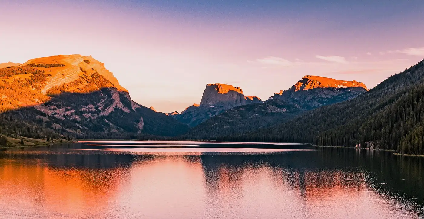
Down the Green River to Green River Lakes
Follow the river north under Squaretop Mountain, past Upper Green River Lake and along Lower Green River Lake to the trailhead at Green River Lakes. About 10.2 miles, gently downhill.
Not the order you want? Drag a stop, or use the arrows beside it. Stops move between days too.
- Upper Green River Lake
Squaretop Mountain above the water · ViewpointNorth along the river under Squaretop Mountain to Upper Green River Lake.
- Green River Lakes trailhead
~10.2 mi day · ~8,050 ft · end of the trail · HikeAlong Lower Green River Lake to the trailhead and campground at the north end, about 10.2 miles from the Green River camp. Your shuttle meets you here.
- Drive back to Jackson
~2 hr 45 min · or Pinedale ~1 hr 50 · DriveAbout 101 miles back to Jackson, roughly two hours forty-five minutes, or about one hour fifty to Pinedale.
Sort where you sleep each night
Most nights on this trip are in a tent. Reserve any campsite the route needs, and the room either side of it if you want one.
Tell us your dates and we will do the calling: the rooms either side, and the guided days in between. Nothing is charged and you decide at the end.
Request to bookWhat to pack for Wind River Range
Built from this route, not a generic list. Every line says why it is here.
On every day of this trip
On your feet
Because you are sleeping out 6 nights
For the drive to the trailhead
Specific to Wind River Range
The rules and the logistics that decide this trip.
No permit for a private party
A private party needs no permit to backpack the Bridger Wilderness. Organized groups (clubs, scouts, church groups) need a Group Use Visitor Permit, and anyone with pack or saddle stock needs a Visitor Stock Permit (Bridger-Teton order 04-03-312).
Guided means permitted
Guiding for pay on national forest land without a Forest Service authorization is prohibited (36 CFR 261.10(c)). If you go with a guide, the guide or their company must hold a Bridger-Teton outfitter-guide permit, and you can ask to see it.
Bear-safe food storage
From March 1 to December 1, food, trash and anything scented must be attended, hung at least 10 feet up and 4 feet from the trunk, or stored in a certified bear-resistant container (Bridger-Teton order 04-03-23-201). This is grizzly country: carry bear spray.
Where you can camp
Camp at least 200 feet from any lake or designated trail and 100 feet from streams, creeks or springs. No fires above timberline or inside those distances, and no burying or burning trash.
Two trailheads, one shuttle
Boulder Lake trailhead and Green River Lakes are about two and a half hours apart by road. You need two cars or a driver; a guided trip should include the shuttle.
Late July to mid September
Snow can sit on Hat Pass and Shannon Pass into July, and the first autumn storms can arrive in September. Plan to be over each pass by early afternoon, when summer thunderstorms build.
Wind River Range: questions before you go
Wind River Range traverse: the questions people ask most.
About 53 miles on trail, measured on the OpenStreetMap trail network from the Boulder Lake trailhead to the Green River Lakes trailhead. This plan takes seven days with one layover, so hiking days run about 6 to 10.5 miles.
Not for a private party. Organized groups need a Group Use Visitor Permit and stock users need a Visitor Stock Permit under Bridger-Teton order 04-03-312. A commercial guide needs a Forest Service outfitter-guide permit.
Shannon Pass, at about 11,150 feet. Hat Pass on day two is about 10,850 feet, and the highest camp, Upper Jean Lake, is about 10,800 feet.
The Bridger-Teton food order requires food and scented items to be attended, hung at least 10 feet up and 4 feet out, or kept in a certified bear-resistant container from March 1 to December 1. A canister is the simplest way to comply above treeline, where there are few trees to hang from.
Fly into Jackson (JAC). Boulder Lake trailhead is about 2 hours 10 minutes from Jackson through Pinedale. Green River Lakes is about 2 hours 45 minutes back to Jackson. Because the route is point to point, you need two cars or a shuttle driver.
Late July through mid September. Snow can linger on the passes into July, and the first storms of autumn can come in September.
Tell us your dates and we ask a local guide who works this area what they can do on your days and what it costs. If nobody is free, we tell you. Asking is free: no card, no deposit, and nothing is held until you say yes.
Pick how you want to go.
Same 7-day route. Same 15 stops.
- A private local guide, campsites booked
- Included
- Airport pickup and every drive
- Included
- Park, permit and campsite fees paid
- Included
- All the gear and the trail meals
- Included
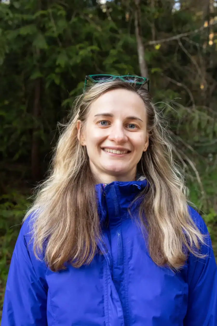
Written and walked by Yulia Vasilyeva · Co-founder · Lead planner and guide
Three years leading guided hikes in the Pacific Northwest, rated 5.0 by 20+ verified guests, and she builds every custom itinerary herself. Based in Seattle.
Last checked September 2026
You might also love these
Other itineraries near this one.

Wind River Range Wyoming: A Hiking and Backpacking Itinerary
Four days in the "Winds": the granite amphitheater of the Cirque of the Towers, the alpine lakes of Titcomb Basin, Green River Lakes…
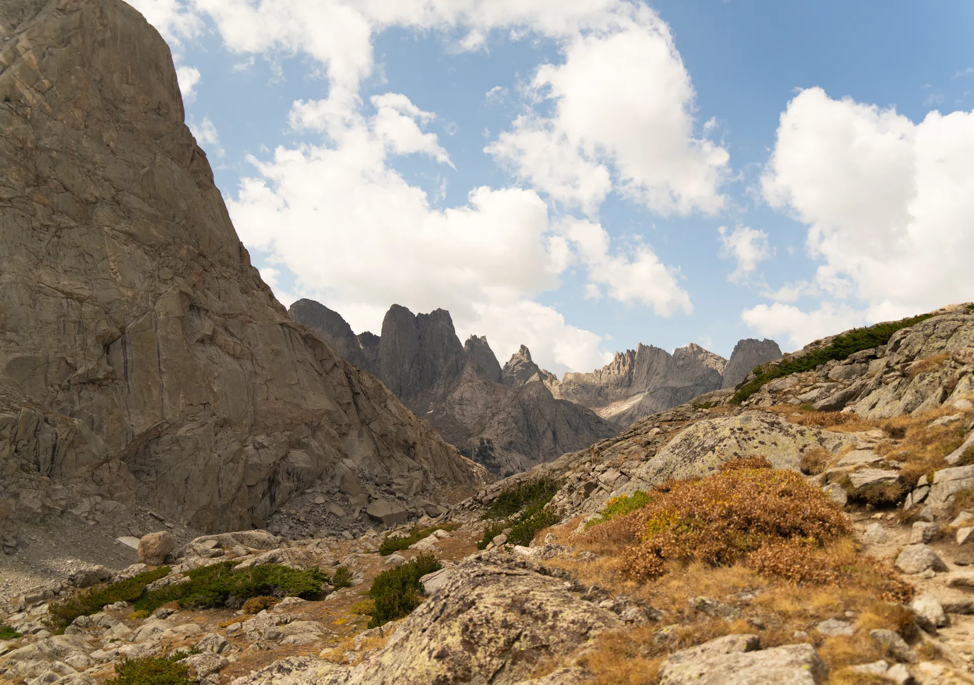
Wind River Range Backpacking: A 7-Day Itinerary
Seven days of serious alpine backpacking through the Winds: Titcomb Basin under Gannett Peak, Indian Basin, Island Lake, high passes,…

Grand Teton Day Hikes: 3-Day Itinerary
The best day hikes in the Grand Tetons over a long weekend, no overnight backcountry permits needed: Jenny Lake, Hidden Falls,…
What adventurers say about us.
All reviews are from verified guests. ★★★★★ 5.0 average from 20+ bookings.
"Felt like going out with a really knowledgeable friend who just happens to know everything about the area. No awkward tour-guide energy, just a magnificent day."
"Yulia is an incredible guide. She knew every trail, every viewpoint, and exactly how to pace the day for our group. The photos she took of us were stunning. 100% booking again."
"I was visiting Seattle solo and this was the best decision I made on the trip. Yulia picked me up, had snacks, and took us to a trail I never would have found on my own. Absolute must-do."
"We did this as a couple's trip and it was perfect. Yulia adapted everything to us, our pace, our interests, our photo obsession. The mountain views were unreal."
"Phenomenal experience. Yulia has deep local knowledge and a real passion for the outdoors. She went out of her way to show us the hidden gems tourists never see. Will remember this forever."
"I've done a few guided hikes and this was by far the best. Yulia is warm, funny, and genuinely expert. The trail she chose had the most insane wildflower bloom, we got so lucky."
Fees, reservation windows, shuttle dates and trail closures are planning estimates. Confirm hours, road status and any reservations with the land manager before you go.
What other travelers are saying
Be the first to leave a tip or question for the next traveler.
Was this helpful?
One tap. It goes straight to Yulia and Margarita.
You can't hike it if you can't get the permit.
The best hikes in America run on lotteries that open once a year and sell out in minutes. Every trail runs on its own calendar. Pick the ones you want and we do the watching.
 The WaveCoyote Buttes North · Arizona / UtahPermitLotterybrutal odds
 Half Dome CablesYosemite NP · CaliforniaPermitOpens Mar 1fair odds
 Mt. WhitneyInyo NF · CaliforniaPermitOpens Feb 1tough odds
 Angels LandingZion NP · UtahPermitLotterytough odds
 The SubwayZion NP · UtahPermitLotterytough odds
 Mount St. Helens Summit ClimbGifford Pinchot NF · WashingtonPermitReservationtough odds
How it works
- An email the morning each window opens, never the day after.
- A 14-day heads-up so you can line up your group and dates.
- Win odds and a ranked backup plan for every trail you pick.
Didn't win? We keep watching. We check recreation.gov every day for The Enchantments, Half Dome and Angels Landing, and email you the moment a sold-out date frees up. Cancellations are the second chance most people never hear about.