Isle Royale Backpacking: A 4-Day Itinerary
One island, wolves, moose & a ridge spine, alone in Lake Superior.
Four days backpacking Isle Royale National Park: the Greenstone Ridge Trail from Rock Harbor, Scoville Point and Mount Franklin, Lake Superior coves, and the wolves and moose of America's least-visited park.
“I’ve requested to book a Chain Lakes Loop guide on ExplorOFF, and it was the best idea ever! I highly recommend going with their guided option since you get a real human connection on the trail and don’t have to worry about a thing. Yulia was great to talk to!”




 13 stops on a real mapEvery stop pinned in order→
Every stop is a real pin, in order.
Rock Harbor, the Greenstone Ridge & Lake Superior · Michigan
Every stop on this trip, in order, opens as one driving route in the Google Maps app. No copying addresses across one at a time.
5 of the stops on these 4 days.
Plan and book your 4 days in Isle Royale, one step at a time
How 4 days in Isle Royale split up
Isle Royale National Park is a roadless wilderness island in Lake Superior, technically part of Michigan, and one of the least-visited national parks in the country. There are no cars and no roads: you reach it only by ferry or seaplane from Houghton or Copper Harbor in Michigan, or from Grand Portage in Minnesota, and the crossing takes several hours over open water. The park is famous for its long-running wolf and moose study, its loons and inland lakes, and a quiet you can find almost nowhere else.
Day 1: Ferry to Rock Harbor · Scoville Point loop
4 stops · Day one
Day 2: Mount Franklin & onto the Greenstone Ridge
3 stops · Day two
Day 3: Inland lakes, coves & Lake Superior shoreline
3 stops · Day three
Day 4: Suzy's Cave, Lookout Louise & the ferry home
3 stops · Day four
Ferry to Rock Harbor · Scoville Point loop
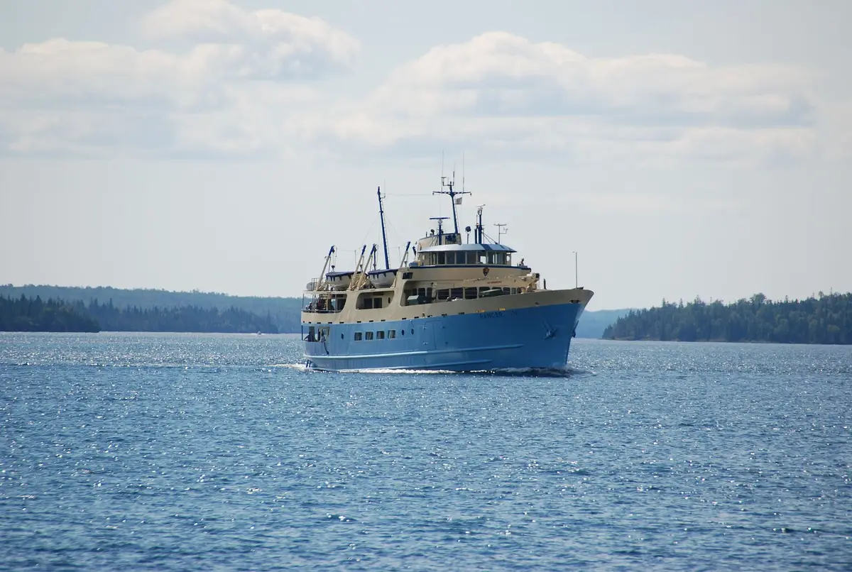
There are no cars on Isle Royale, so the trip begins on the water. Catch the morning ferry from Houghton (the Ranger III, about six hours) or Copper Harbor (the Isle Royale Queen, about three hours), or fly in by seaplane. The crossing is part of the adventure: open Lake Superior in every direction and, if you are lucky, the low green line of the island finally rising ahead.
Not the order you want? Drag a stop, or use the arrows beside it. Stops move between days too.
 Ferry from
~6 hr crossing · book ahead · DriveThere are no cars on Isle Royale, so the trip begins on the water. Catch the morning ferry from Houghton (the Ranger III, about six hours) or Copper Harbor (the Isle Royale Queen, about three hours), or fly in by seaplane. The crossing is part of the adventure: open Lake Superior in every direction. Boats do not run daily and sell out in summer, so book well ahead.
- Rock Harbor
Eastern hub · permit pickup · ViewpointLand at Rock Harbor, the park's eastern hub, and pick up your free camping permit. This is the start and end of most island trips, with the only in-park lodge, a small store, the ferry dock, and the trailheads for Scoville Point, Mount Franklin, and the Greenstone Ridge all close by.
- Scoville Point loop
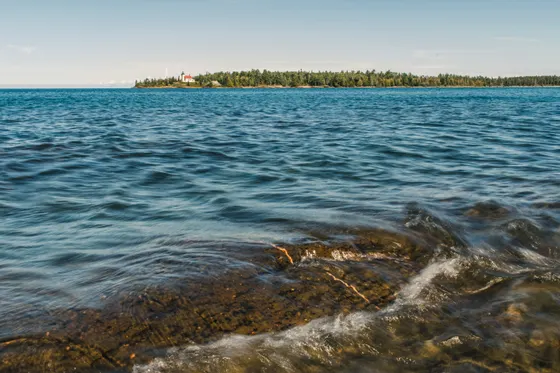
~4.2 mi RT · rocky shoreline · HikeShake out your legs on the Scoville Point loop (about 4.2 miles round trip), a rocky, photogenic shoreline trail to the tip of the peninsula east of Rock Harbor. It is the perfect warm-up: Lake Superior on both sides, twisted cedars, and quiet coves, with time to settle into island pace.
 Joe Ross from Lansing, / CC BY 2.0Camp at Rock Harbor
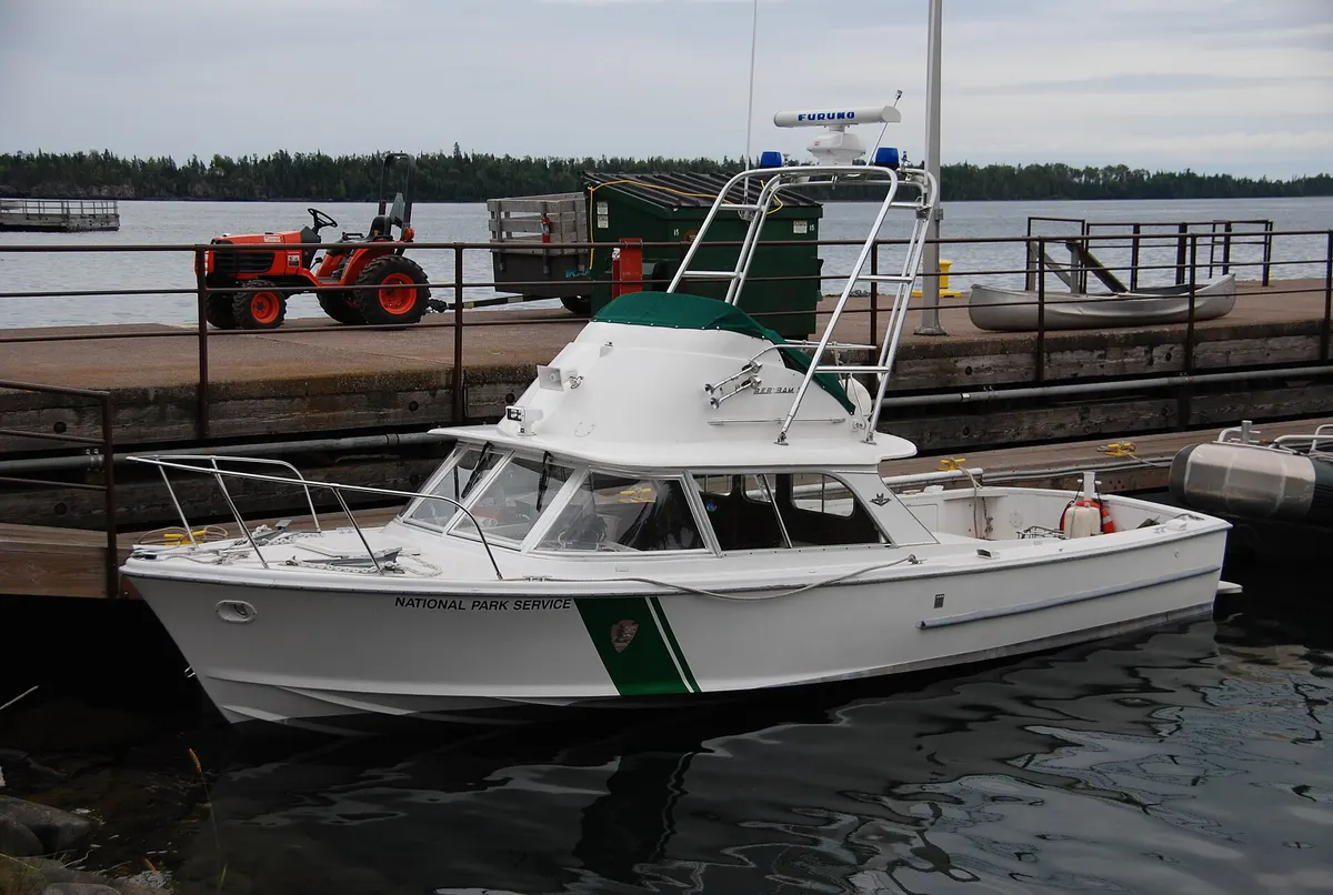
First-come shelters · or Rock Harbor Lodge · lodgeCamp at the Rock Harbor campground shelters or pitch a tent, filter water from the lake, and listen for loons at dusk. If you want a roof, Rock Harbor Lodge is the only in-park lodging and books far ahead. Otherwise base in Houghton or Copper Harbor the night before you sail.
Mount Franklin & onto the Greenstone Ridge
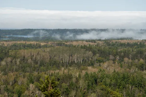
Today you climb onto the spine of the island. Hike from Rock Harbor up to Mount Franklin (about 10 miles round trip via the Tobin Harbor and Mount Franklin trails, or a shorter out-and-back), a ridgeline overlook with a sweeping view north across the island to Canada and the open water beyond. The trail threads through boreal forest, beaver ponds, and the kind of marshy clearings where moose come to feed.
Not the order you want? Drag a stop, or use the arrows beside it. Stops move between days too.
 Mount Franklin
~10 mi RT · ridge view to Canada · HikeClimb from Rock Harbor up to Mount Franklin (about 10 miles round trip via the Tobin Harbor and Mount Franklin trails), a ridgeline overlook with a sweeping view north across the island to Canada and the open water beyond. The trail threads boreal forest, beaver ponds, and marshy clearings where moose come to feed.
- Greenstone Ridge Trail
~40 mi spine · Rock Harbor to Windigo · HikeFrom Mount Franklin you step onto the Greenstone Ridge Trail, the roughly 40-mile high route that runs the full length of Isle Royale from Rock Harbor to Windigo. Sample a few miles and loop back, or commit to the classic thru-hike and push west toward Lake Desor over the coming days. A true thru-hike takes about four to five days.
- Camp on the ridge
Trailside / lakeside · first-come · lodgeMake camp at a ridge or lakeside site, filter and treat your water, and settle in for a night with no roads and very little light. There are no bears, so no canister is needed, but hang or stash your food from bold foxes, and treat all water because the lakes can carry tapeworm cysts.
Inland lakes, coves & Lake Superior shoreline
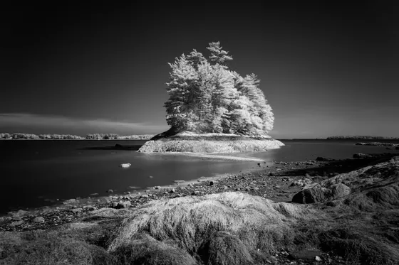
Drop off the high ridge to explore the quieter heart of the island. Isle Royale is stitched with inland lakes such as Lake Richie and Chickenbone Lake, mirror-still water where loons nest and moose wade out to feed on aquatic plants in the early morning. Spur trails link the Greenstone down to lakeside camps and back, so build in time to sit by the water and simply watch.
Not the order you want? Drag a stop, or use the arrows beside it. Stops move between days too.
- Inland lakes · Lake Richie
Loon and moose water · ViewpointDrop off the high ridge to the quieter heart of the island. Isle Royale is stitched with inland lakes such as Lake Richie and Chickenbone Lake, mirror-still water where loons nest and moose wade out to feed on aquatic plants in the early morning. Spur trails link the Greenstone down to lakeside camps and back.
 Lake Superior coves
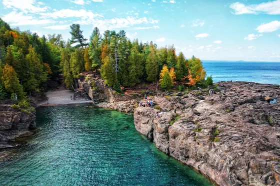
Rocky basalt shoreline · ViewpointWork back toward the Lake Superior shoreline and its string of rocky coves, where the great lake breaks against ancient basalt and the horizon is nothing but water. This is the wildlife day, so scan the marshes and lake edges for moose, listen for wolves at night, and keep your camera ready for loons and otters.
 Camp at a lakeside cove site
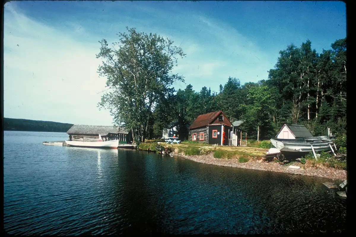
First-come · dry out gear · lodgeCamp at a lakeside or cove site and dry out any gear the Lake Superior weather has soaked. Mornings and evenings are best for moose, which wade into the inland lakes to feed, so settle in early and watch the water. Pack real rain gear and warm layers, because lake weather turns fast and cold even in midsummer.
Suzy's Cave, Lookout Louise & the ferry home
On your last morning, loop back toward Rock Harbor on the gentler trails near the harbor. Detour to Suzy's Cave, an inland sea arch carved when Lake Superior stood higher thousands of years ago, then, if your ferry time allows, climb to Lookout Louise, often called the finest view on the island, looking out over the fjord-like northeast shore and a scatter of rocky islets.
Not the order you want? Drag a stop, or use the arrows beside it. Stops move between days too.
 Joe Ross from Lansing, / CC BY-SA 2.0Suzy's Cave
Ancient inland sea arch · HikeOn your last morning, loop back toward Rock Harbor on the gentler harbor trails and detour to Suzy's Cave, an inland sea arch carved when Lake Superior stood higher thousands of years ago. It is an easy, atmospheric stop on the way back to the dock.
- Lookout Louise
Often the best view on the island · ViewpointIf your ferry time allows, climb to Lookout Louise, often called the finest view on the island, looking out over the fjord-like northeast shore and a scatter of rocky islets. It sits on the far side of Tobin Harbor, so check the distance against your boat time before committing.
 Sailor33 / CC BY-SA 3.0Ferry home to Houghton (CMX)
~6 hr · be at the dock early · DriveTime everything around your boat. The ferry does not run daily, so build in a buffer and be at the Rock Harbor dock well before departure. The Ranger III returns to Houghton (about six hours) or the Isle Royale Queen to Copper Harbor (about three hours), and the nearest airport is Houghton County (CMX).
Book the 3 nights
Beds near the trailheads are the one thing on this trip that genuinely runs out. Everything else can be decided later.
Tell us your dates and we will do the calling. We check every booking site, put your points and card perks against the cash price, and email you this plan back with the best room we can find for each night. Nothing is charged and you decide at the end.
Request to bookWhat to pack for Isle Royale
Built from this route, not a generic list. Every line says why it is here.
On every day of this trip
On your feet
Because you are sleeping indoors
For the driving days
What we actually learned on the island.
You can only get there by ferry or seaplane
There are no cars and no roads on Isle Royale. You reach it only by ferry or seaplane from Houghton or Copper Harbor in Michigan, or from Grand Portage in Minnesota. The crossing takes several hours over open Lake Superior, so book your boat well ahead and confirm your return sailing.
The park is closed half the year
Isle Royale is closed from November to mid-April, the only national park that fully shuts for the season. The realistic backpacking window is June through September. June and July bring brutal bugs, so many hikers prefer late August and September for cooler ridge walking and far fewer blackflies.
A free camping permit is required
Every overnight visitor needs a camping permit. It is free and picked up on arrival at Rock Harbor or Windigo, or reserved through recreation.gov for groups of seven or more. Campsites are first-come at trailside and dock camps, so have a flexible plan if a shelter is full.
No bears, but hang food from foxes
There are no bears on Isle Royale, so you do not need a bear canister. Foxes, however, are bold camp raiders, so hang or secure your food and never leave a pack unattended. Keep a clean camp and store anything scented away from your tent.
Treat all your water
You will filter from Lake Superior and inland lakes the whole trip. Always treat the water, because Isle Royale lakes can carry tapeworm cysts. Filtering plus boiling or chemical treatment is the recommended approach, and there is no cell service to call for help if you get sick.
Pack for volatile Lake Superior weather
Conditions on the lake turn fast and cold in any month. Carry real rain gear, warm layers, and sturdy waterproof boots even in midsummer, and expect fog, wind, and sudden temperature drops. Drying out wet gear is part of the rhythm of backpacking this island.
Everything you'll actually want to know.
Isle Royale ferry: the questions people ask most.
Access is by ferry or seaplane only, because there are no cars and no roads on the island. Ferries run from Houghton (the Ranger III, about six hours) and Copper Harbor (the Isle Royale Queen, about three hours) in Michigan, and from Grand Portage, Minnesota (the Voyageur II and Sea Hunter III). Seaplanes fly from Houghton. Boats do not run daily and sell out in summer, so book your crossing well ahead.
We'll find the cheapest way to do this trip.
Tell us your dates and we price the plan you just built: every booking site, the hotels direct, and your own points and card perks against the cash price. You get it back by email with a link for each night and what it saved you.
- It is free. The hotel pays us, not you. You pay their normal price.
- Nothing is charged and nothing is held. You decide at the end, or you walk away.
- Beds near trailheads are the part that runs out. Everything else can wait.
The figures below are estimates from local nightly rates, so you know the ballpark before you ask. The real number comes back once we have checked what is free.
- 3 nights, sites along the route
3 × $22$66
- 1 night, a room in Houghton before you start
from $109 a nightfrom $109
 Yulia, ExplorOFF founder★★★★★5.0 from 20+ guided tripsGoogleAirbnbFrom$2,7302 people, 3 nights
- Everything in Glamped, plus a local guide
- Airport pickup, every drive, all the gear
- Weather turns, they rewrite the day
Written and walked by Yulia Vasilyeva · Co-founder · Lead planner and guide
Three years leading guided hikes in the Pacific Northwest, rated 5.0 by 20+ verified guests, and she builds every custom itinerary herself. Based in Seattle.
Booking Isle Royale
Everything below is booked with the operators direct. We earn a commission on some of them, which is what keeps the itineraries free to read.
You might also love these
More itineraries and hiking guides across the parks.
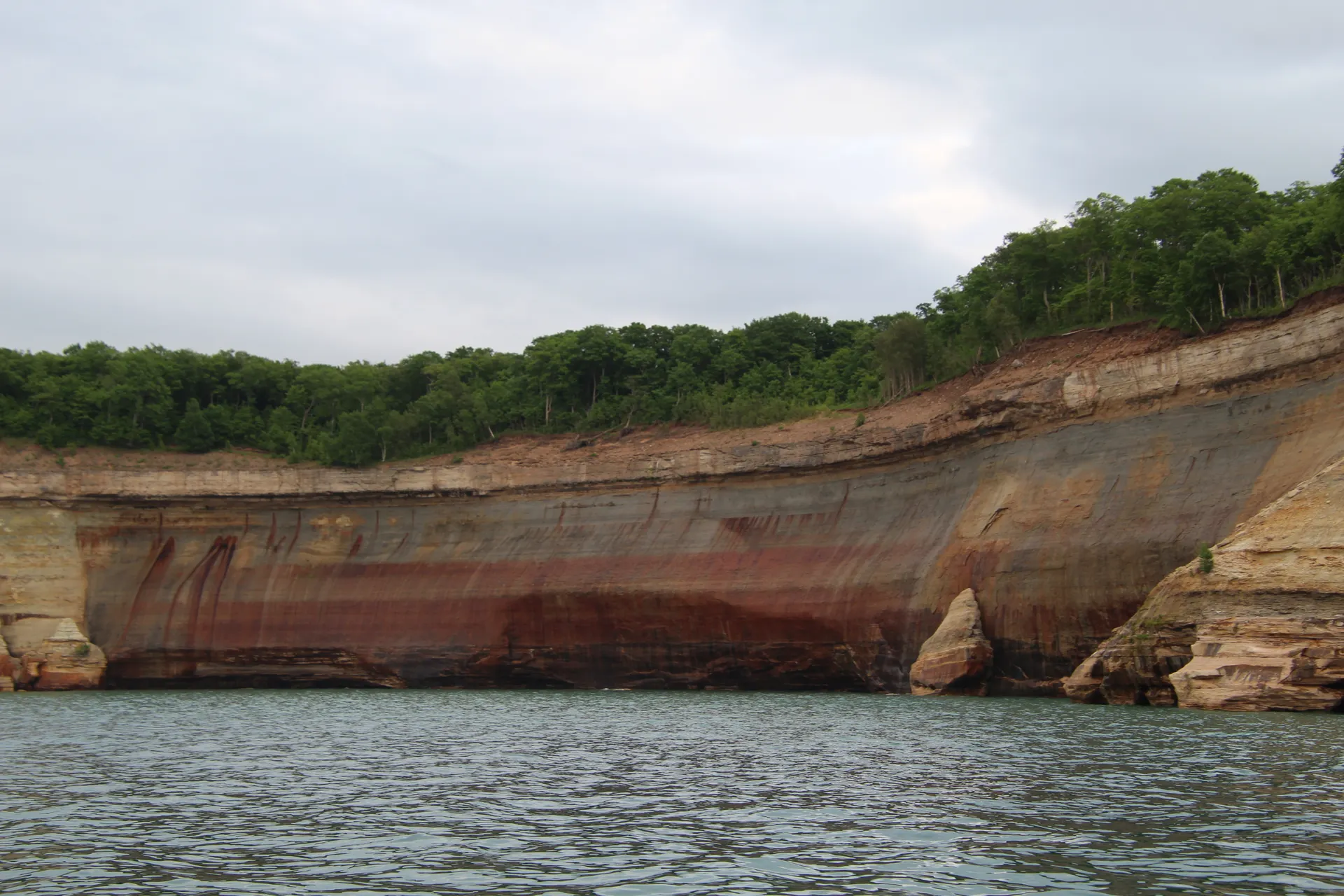
Pictured Rocks Backpacking
Multicolored sandstone cliffs, waterfalls, and the Lakeshore Trail along the Lake Superior coast.

Porcupine Mountains Backpacking
Old-growth forest, Lake of the Clouds, and the wild escarpment trails of Michigan's Upper Peninsula.
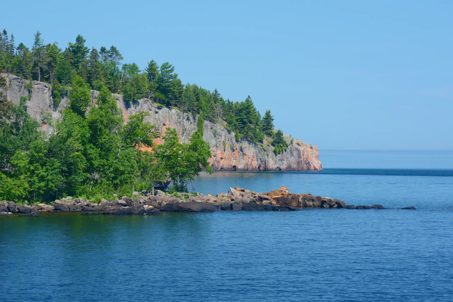
Superior Hiking Trail
Minnesota's North Shore ridgeline, river gorges, and overlooks high above Lake Superior.
What adventurers say about us.
All reviews are from verified guests. ★★★★★ 5.0 average from 20+ bookings.
"Felt like going out with a really knowledgeable friend who just happens to know everything about the area. No awkward tour-guide energy, just a magnificent day."
"Yulia is an incredible guide. She knew every trail, every viewpoint, and exactly how to pace the day for our group. The photos she took of us were stunning. 100% booking again."
"I was visiting Seattle solo and this was the best decision I made on the trip. Yulia picked me up, had snacks, and took us to a trail I never would have found on my own. Absolute must-do."
"We did this as a couple's trip and it was perfect. Yulia adapted everything to us, our pace, our interests, our photo obsession. The mountain views were unreal."
"Phenomenal experience. Yulia has deep local knowledge and a real passion for the outdoors. She went out of her way to show us the hidden gems tourists never see. Will remember this forever."
"I've done a few guided hikes and this was by far the best. Yulia is warm, funny, and genuinely expert. The trail she chose had the most insane wildflower bloom, we got so lucky."
Fees, reservation windows, shuttle dates and trail closures are planning estimates. Confirm hours, road status and any reservations with the land manager before you go.
What other travelers are saying
Be the first to leave a tip or question for the next traveler.
Was this helpful?
One tap. It goes straight to Yulia and Margarita.
You can't hike it if you can't get the permit.
The best hikes in America run on lotteries that open once a year and sell out in minutes. Every trail runs on its own calendar. Pick the ones you want and we do the watching.
 Denali Road LotteryDenali NP · AKActivityReservationfair odds
 El Tovar HotelGrand Canyon South Rim · ArizonaLodgeReservationbrutal odds
 Grand Canyon BackcountryGrand Canyon NP · ArizonaBackcountryReservationfair odds
 Grand Canyon raftingColorado River · ArizonaActivityLotterybrutal odds
 Havasu FallsHavasu Canyon · ArizonaLodgeReservationbrutal odds
 Phantom RanchGrand Canyon NP · ArizonaLodgeLotterybrutal odds
 The WaveCoyote Buttes North · Arizona / UtahPermitLotterybrutal odds
 Half Dome CablesYosemite NP · CaliforniaPermitOpens Mar 1fair odds
 Lost Coast TrailKing Range NCA · CaliforniaBackcountryReservationtough odds
 Mt. WhitneyInyo NF · CaliforniaPermitOpens Feb 1tough odds
- The Ahwahnee, YosemiteYosemite NP · CaliforniaLodgeReservationbrutal odds
 Conundrum Hot SpringsMaroon Bells-Snowmass · ColoradoBackcountryOpens Feb 15brutal odds
 Kalalau TrailNa Pali Coast SWP · HIBackcountryReservationbrutal odds
 Glacier NP BackcountryGlacier NP · MontanaBackcountryLotterytough odds
 Lake McDonald LodgeGlacier NP · MontanaLodgeReservationbrutal odds
 Many Glacier HotelGlacier NP · MontanaLodgeReservationbrutal odds
 Sperry & Granite Park ChaletsGlacier NP · MontanaLodgeReservationbrutal odds
 Crater Lake LodgeCrater Lake NP · ORLodgeReservationbrutal odds
 LeConte LodgeGreat Smoky Mountains NP · TNLodgeOpens Oct 1brutal odds
 Angels LandingZion NP · UtahPermitLotterytough odds
 The Narrows Through-HikeZion NP · UtahBackcountryReservationtough odds
 The SubwayZion NP · UtahPermitLotterytough odds
- Zion LodgeZion Canyon · UtahLodgeReservationbrutal odds
 Mount St. Helens Summit ClimbGifford Pinchot NF · WashingtonPermitReservationtough odds
 Paradise InnMount Rainier NP · WashingtonLodgeReservationbrutal odds
 The EnchantmentsAlpine Lakes Wilderness · WashingtonBackcountryOpens Feb 15brutal odds
- Wonderland TrailMount Rainier NP · WashingtonBackcountryLotterybrutal odds
- Cougar Rock CampgroundWashington · WashingtonBackcountryOpens Jan 15tough odds
 Old Faithful InnYellowstone NP · WYLodgeReservationbrutal odds
How it works
- An email the morning each window opens, never the day after.
- A 14-day heads-up so you can line up your group and dates.
- Win odds and a ranked backup plan for every trail you pick.
Didn't win? We keep watching. We check recreation.gov every day for The Enchantments, Half Dome and Angels Landing, and email you the moment a sold-out date frees up. Cancellations are the second chance most people never hear about.
“I’ve requested to book a Chain Lakes Loop guide on ExplorOFF, and it was the best idea ever! I highly recommend going with their guided option since you get a real human connection on the trail and don’t have to worry about a thing. Yulia was great to talk to!”