Why Santa Elena Canyon Is a Must-Do
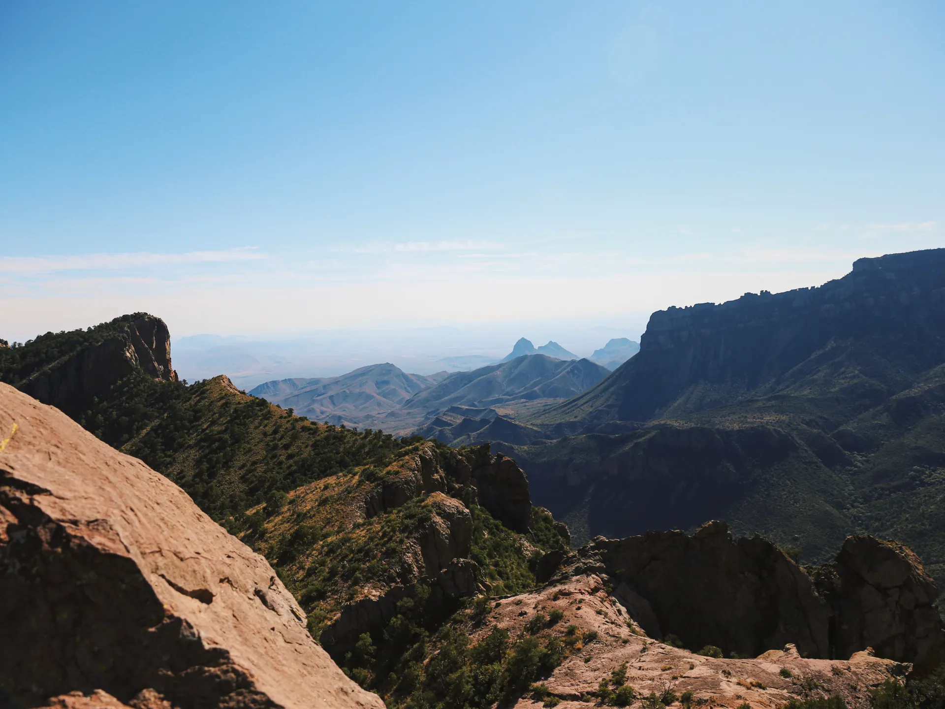
If you only have time for one short hike in Big Bend National Park, make it the Santa Elena Canyon Trail. At the far western end of the Ross Maxwell Scenic Drive, the Rio Grande slices a narrow slot through a sheer limestone wall that rises roughly 1,500 feet straight out of the river. You stand with the United States on your left bank and Mexico on your right, walking into one of the most dramatic canyon mouths in Texas. The round trip is only about 1.7 miles, which makes it perfect for travelers who want a huge payoff without a full day on the trail.
This hike pairs naturally with a longer trip. If you are mapping out a full visit, our 4-day Big Bend hiking itinerary places Santa Elena Canyon on the same day as the Chisos Basin descents so you finish at golden hour.
The Terlingua Creek Crossing
The trail's one quirk is that you must cross Terlingua Creek before you reach the canyon wall. Conditions change with the seasons and with releases upstream:
- Dry creek bed: Common in late spring and early summer. You simply walk across packed mud or sand.
- Ankle to knee-deep mud: The most frequent obstacle. Sandals or shoes you do not mind soaking are smart, and trekking poles help with footing.
- Flooded or impassable: After heavy rain or monsoon storms in July through September, the crossing can be too deep or too silty to attempt. Check at the Castolon or Panther Junction visitor centers before you drive out.
Once across, a set of concrete and stone switchbacks climbs the canyon's south wall, then descends to a paved path that follows the river deep into the gorge until the walls pinch the trail to an end.
Getting There from the Chisos and Terlingua
Santa Elena Canyon sits at the end of the Ross Maxwell Scenic Drive, about 30 miles from the Chisos Basin and roughly 45 minutes of driving. The scenic drive itself is a highlight, passing Sotol Vista, the Mule Ears overlook, and the historic Castolon district. Many visitors stay in Terlingua or Study Butte just outside the western park entrance, which puts the trailhead within easy reach for a sunrise start. The paved parking lot is small, so arriving early also means you beat the midday crowds and the worst of the heat.
Best Time of Year and Day
The canyon faces in a way that traps heat, so summer afternoons here are brutal. Aim for late October through March for comfortable temperatures. Within the day, early morning brings soft light and a glassy reflection of the walls in the river, while late afternoon lights the canyon mouth in warm gold. Photographers should know that the interior of the canyon stays in deep shade most of the day, so the sweet spot for capturing the full height of the walls is when the sun is low and angled into the gorge.
What to Bring
This is a short trail, but Big Bend is unforgiving with the unprepared. Pack the following even for a quick out-and-back:
- At least one liter of water per person, more in warm months
- Sun protection: hat, sunglasses, and high-SPF sunscreen, since shade is limited at the crossing
- Shoes or sandals you can get muddy for the creek
- A small first-aid kit and any personal medications
Cell service is nonexistent out here, so download maps in advance and tell someone your plan.
Combining It With Other Big Bend Hikes
Because Santa Elena is so short, you can stack it with other trails in a single day. Strong hikers often pair it with the Window Trail or Lost Mine Trail in the cooler Chisos Mountains, saving the canyon for the end of the day when the light is best. If you want river time without the elevation, the nearby Castolon area and the Rio Grande overlooks make easy add-ons. For a structured plan that sequences these efficiently, follow our Big Bend itinerary, which balances desert, river, and mountain hikes across four days.


