The Munising area inside and around Pictured Rocks National Lakeshore is one of the densest concentrations of waterfalls in the Midwest. Within a short drive of town you can stand under a 50-foot curtain, and deep in the backcountry you can watch a falls pour directly into Lake Superior. This guide walks through the best waterfalls in the area, from drive-up easy to earn-it remote, so you can match the right ones to your trip and your legs.
Easy Roadside Waterfalls Near Munising
If you only have a few hours, these falls deliver maximum payoff for minimal walking.
- Munising Falls: a graceful 50-foot drop reached by a paved 800-foot path from the interpretive center in town. The trail to a lower viewing platform is wheelchair-accessible, making this the easiest falls in the park.
- Wagner Falls: just south of Munising off M-94, a short boardwalk leads to a tiered cascade tucked in a hemlock gorge. It is a state scenic site and rarely crowded.
- Alger Falls: a roadside ribbon falls visible right from M-28 as you enter town. No hike required.
Short-Hike Waterfalls Inside the Lakeshore
Miners Falls is the showpiece of the easy-hike category. A roughly 1.2-mile round-trip trail through hardwood forest leads to a viewing platform where the Miners River drops about 50 feet over a sandstone ledge. It is loudest and fullest in spring, but impressive year-round. Combine it with the nearby Miners Castle overlook for a strong half-day.
Chapel Falls sits deeper in the park. From the Chapel Basin trailhead at the end of a long gravel road, it is roughly a 1.5-mile walk to viewpoints of this tall, multi-tier falls that drops about 60 feet into the Chapel Lake basin. Many hikers continue past it toward the lakeshore.
Backcountry Waterfalls for Hikers
The most memorable falls in Pictured Rocks require real effort, and they are worth it.
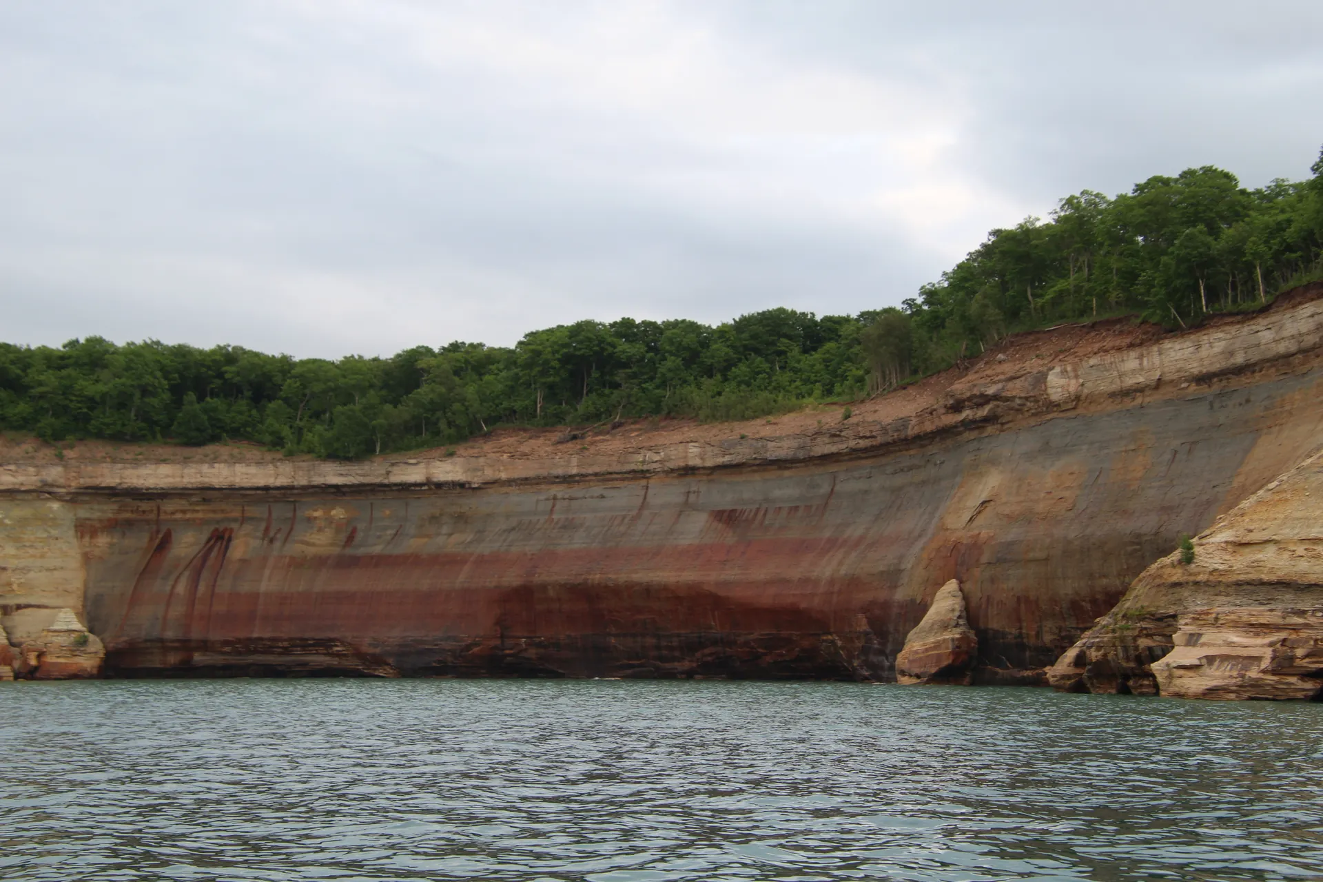
Spray Falls is the standout. It plunges around 70 feet directly off the cliffs into Lake Superior near Spray Beach, and it is best seen from the water on a boat tour or from the clifftop along the Lakeshore Trail. Reaching it on foot is a serious hike, which is why it usually fits into a multi-day trip rather than a day visit.
Chapel Beach and Chapel Rock anchor the heart of the backcountry. The full loop from the Chapel trailhead past Chapel Falls, Chapel Beach, Chapel Rock, and Mosquito Beach runs roughly 10 miles and packs in waterfalls, cliffs, and the iconic lone pine growing atop Chapel Rock. This stretch is the centerpiece of the Pictured Rocks backpacking itinerary, which links the major falls and overlooks over three days on the coast.
When to Go for the Biggest Flow
Waterfalls here are driven by snowmelt and rain. Late April through May brings the most powerful flow as the Upper Peninsula's deep snowpack melts. Summer falls are reliable but gentler, and fall pairs moderate flow with brilliant color. In winter many of these falls freeze into ice formations that draw climbers to Munising.
Tips for Visiting Pictured Rocks Waterfalls
- Wear traction-friendly shoes; sandstone and boardwalks get slick from constant spray.
- Bring bug spray in early summer, especially in the wooded inland gorges.
- Check road status in spring, as the gravel route to Chapel Basin can stay gated by mud and snow into May.
- For Spray Falls specifically, the boat cruise from Munising is the easiest way to see it well.
Whether you are chasing falls between picnics or stringing them together on a long coastal hike, Pictured Rocks rewards anyone willing to follow the sound of moving water.


