Planning the San Francisco to LA Pacific Coast Highway is easier once you stop thinking of it as one road and start thinking of it as three segments. A good pacific highway coast map breaks the route into San Francisco to Monterey, Monterey to San Simeon (the Big Sur core), and San Simeon to Los Angeles. Each segment has its own character, distance, and pace, and mapping them separately keeps you from trying to cram the whole coast into a single exhausting day.
Which direction should you drive?
Drive north to south, from San Francisco toward Los Angeles. In the United States you drive on the right, so heading south puts you in the lane closest to the ocean. That means the coastal pullouts and viewpoints are on your side of the road, so you never have to cross oncoming traffic to reach them. It is safer, easier, and the views land right in your windshield.
Segment 1: San Francisco to Monterey
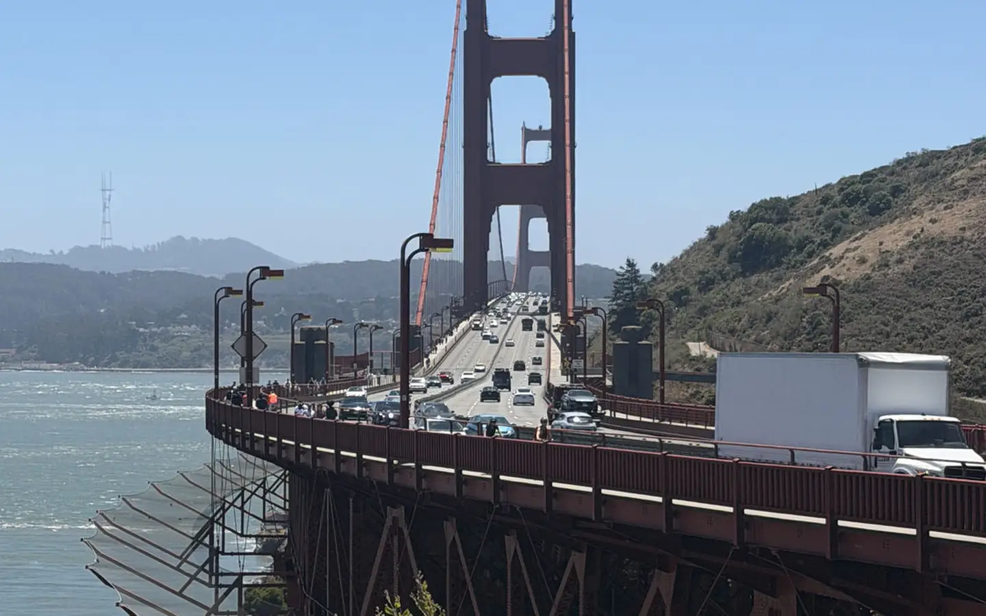
The run from San Francisco to Monterey via Pacific Coast Highway is about 120 miles and takes roughly two and a half to three hours without stops. Leave the city over Highway 1 through Pacifica, then follow the coast past Half Moon Bay, the pumpkin farms of the San Mateo coast, and the lighthouse at Pigeon Point. Santa Cruz makes a natural halfway break with its beach boardwalk. From there the road runs along the top of Monterey Bay into Monterey itself. Reverse this same leg, the Pacific Coast Highway Monterey to San Francisco drive, and you get the identical scenery in the opposite order if you are returning north.
Segment 2: Monterey to San Simeon (Big Sur)
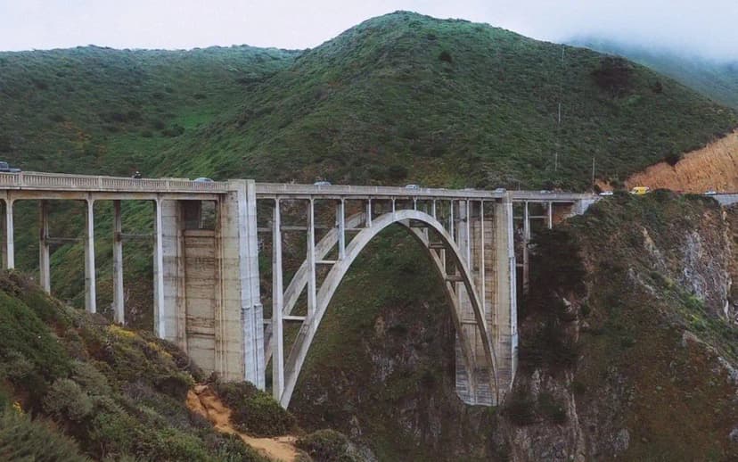
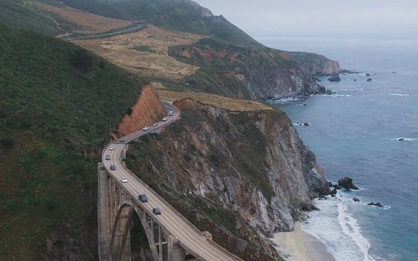
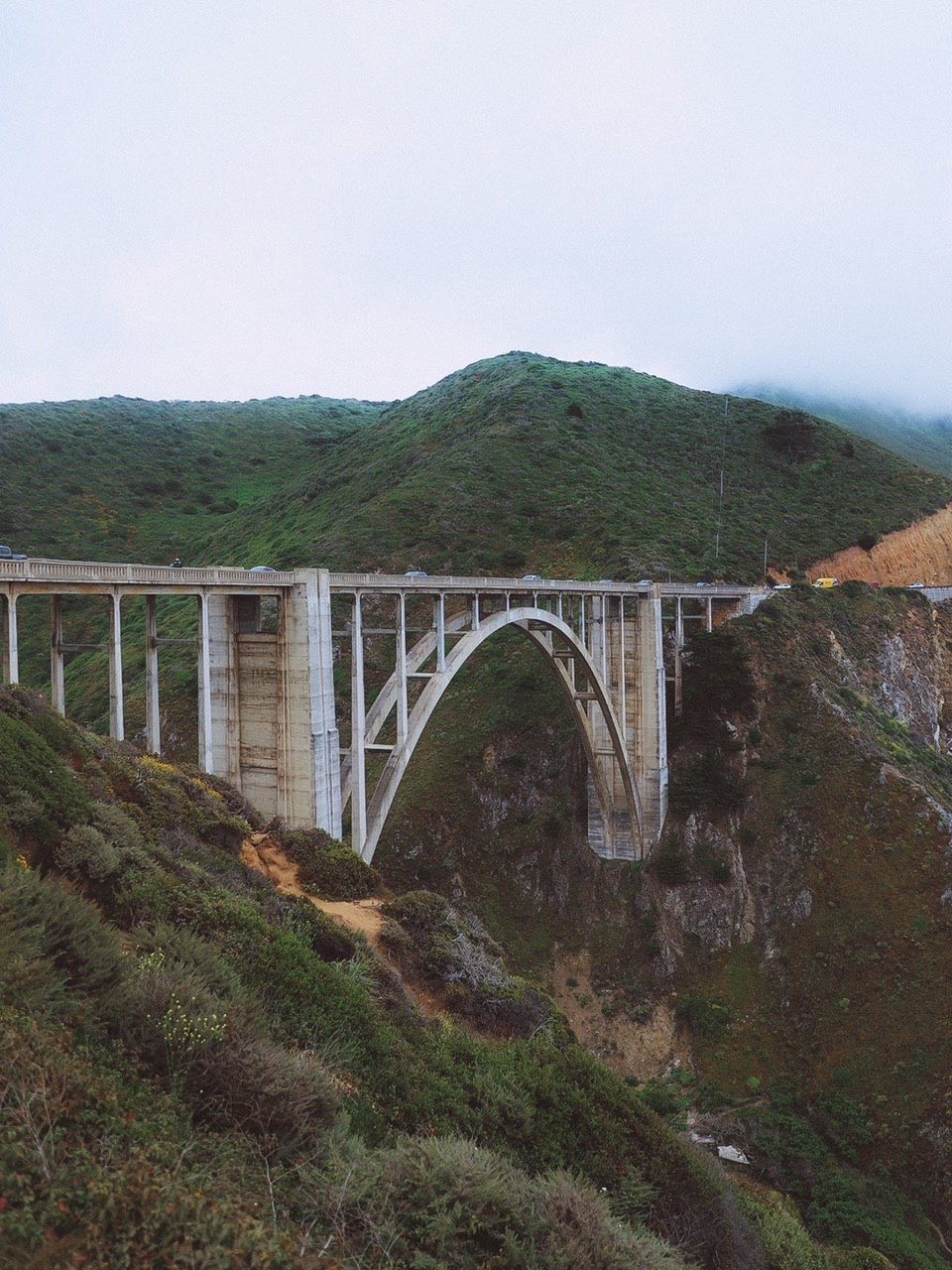
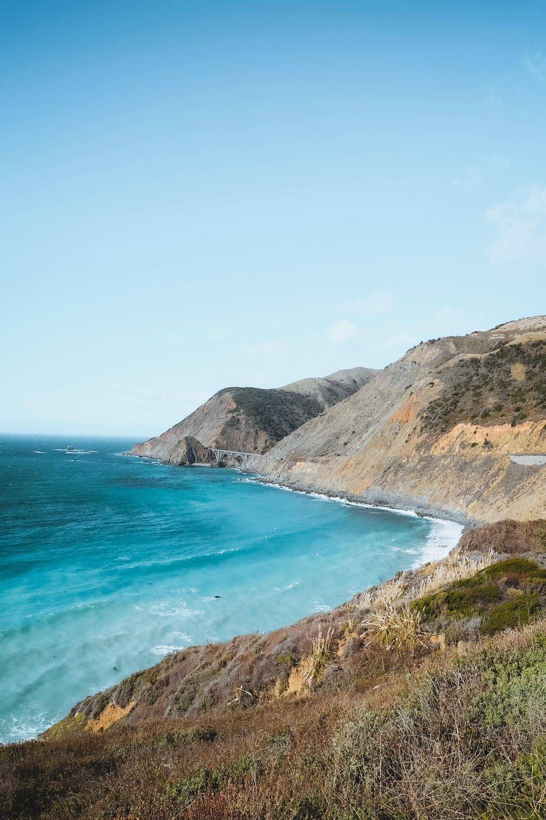
This is the heart of the drive and the slowest by design. It is only about 90 miles from Monterey to San Simeon, but plan four to six hours because you will stop constantly. Highlights come one after another: Carmel-by-the-Sea, Point Lobos, Bixby Creek Bridge, Hurricane Point, Pfeiffer Beach, McWay Falls, and the elephant seal rookery near Piedras Blancas. Fuel is scarce and pricey through here, so fill up in Carmel or Cambria. Always check Big Sur road status before you go, since winter storms occasionally close sections of Highway 1.
Segment 3: San Simeon to Los Angeles
South of San Simeon the coast softens. Stop at Hearst Castle if you have booked a tour, then roll through Cambria, Morro Bay with its landmark volcanic rock, and the beach towns of Pismo and Santa Barbara. From Santa Barbara the highway curves inland and rejoins Highway 101 for the final stretch into Los Angeles, ending near Santa Monica Pier. This segment is about 240 miles and takes five to six hours with stops, and it is where you trade dramatic cliffs for easy, sunny beach towns.
How many days do you need?
You can technically drive San Francisco to Los Angeles on Highway 1 in a very long day, but you would miss the entire point. Two days is the comfortable minimum, with a night in Monterey or Big Sur. Three days lets you slow down and add Santa Barbara. If you are folding this into a bigger trip, the whole San Francisco to LA coast is a central chapter of the 14-day West Coast Road Trip itinerary, which continues north to the redwoods and Oregon and south to San Diego.
Where to build in overnight stops
Where you sleep shapes the whole map. The strongest bases are Monterey or Carmel at the top of Big Sur, and Cambria or San Luis Obispo at the bottom. Staying in one of those puts you at the edge of the slow, twisting central section so you can drive it in the morning with fresh light and empty pullouts. Santa Barbara is the natural third night if you have three days, splitting the run down to Los Angeles into an easy final morning. Avoid trying to overnight deep inside Big Sur unless you have booked far ahead, because the handful of lodges there are limited and expensive.
Tools for mapping the route
Build your own map before you leave. Drop pins for the stops you care about in a mapping app, then download the offline map for the whole corridor, because signal disappears through Big Sur and the Oregon-style forest stretches. Note fuel stops in advance, since gas is scarce and pricey between Carmel and Cambria. Screenshot your reservations and the day's drive times so a dead battery or dead zone does not strand your plan. A simple segment-by-segment list beats one giant unbroken route every time.
Extending the map: from San Diego
If you want to start even farther south, a Pacific Coast Highway road trip from San Diego adds about 120 miles below Los Angeles through Laguna Beach, San Clemente, and the Orange County coast before reaching LA. Running the full length from San Diego up to San Francisco makes a natural three to five day drive, and driving it northbound flips the earlier advice: you would keep the coast on your right the entire way. Whichever end you start from, map it in segments, book your Big Sur night early, and leave room in the schedule for the stops that make you want to pull over.
Common mapping mistakes to avoid
The biggest planning error is trusting a navigation app's drive time at face value. Those estimates assume you never stop, but the whole reason to take Highway 1 instead of the faster inland Highway 101 is to stop constantly, so pad every segment generously. The second mistake is scheduling a Big Sur crossing late in the day, which leaves you racing the light on the twistiest miles. The third is forgetting that Highway 1 and Highway 101 split and rejoin several times along the coast, so double check which road your route actually follows through each town. Map it segment by segment, keep your drive times honest, and the Pacific Coast Highway becomes one of the easiest great road trips to plan.
Pacific Coast Highway Map: How to Plan the Drive by Segment FAQs
The full coastal route is roughly 450 miles and takes about ten hours of pure driving. In practice you should spread it over two to three days so you can stop in Big Sur and the beach towns along the way.
Drive north to south, from San Francisco toward Los Angeles. That keeps you in the ocean-side lane, so pullouts and viewpoints are on your side of the road and easier to reach safely.
About 120 miles, or two and a half to three hours without stops. The coastal route passes Half Moon Bay, Pigeon Point, and Santa Cruz before reaching Monterey.
Yes. Starting in San Diego adds about 120 miles below Los Angeles through Laguna Beach and San Clemente. Running the full San Diego to San Francisco route makes a comfortable three to five day trip.
Yes. Plan it as San Francisco to Monterey, Monterey to San Simeon through Big Sur, and San Simeon to Los Angeles. Mapping by segment keeps drive times realistic and stops you from rushing the best scenery.
Yes. The worked day-by-day plan is West Coast Road Trip: The Ultimate 14-Day Pacific Coast Itinerary (14 Days), with the permits, the stays and the drive times already sorted. Tell us your dates and we will put it together for you and confirm what is genuinely open on those days. Asking is free: no card, no deposit, and nothing is held until you say yes.