Before you set out, the single most useful question to answer is simple: is the Highway 101 closed anywhere on your route? The Pacific Coast route mixes California's Highway 1 with US Highway 101, and both cross terrain prone to landslides, storm damage, and wildfire closures. Checking live road conditions the morning you drive, and again if the weather turns, is the difference between a smooth day and a long, unexpected detour. Here is where to find real status, what the speed limits actually are, and how to orient yourself on the Oregon coast.
Where to check live road conditions
Use the official state transportation sources, not social media rumors. They update in real time and cover both closures and delays:
- Caltrans QuickMap covers all of California, including Highway 1 through Big Sur and Highway 101. It shows closures, chain controls, construction, and camera feeds. This is your first stop for the California legs.
- Caltrans District 5 posts detailed Big Sur updates, since that stretch of Highway 1 closes most often after winter storms and slides.
- ODOT TripCheck is Oregon's equivalent, covering Highway 101 the length of the Oregon coast with cameras, closures, and weather alerts.
- Washington's WSDOT travel map covers the northern end if your trip continues past the Columbia River.
Bookmark the one for whichever state you are in and check it before you leave a town with cell service, because coverage disappears in the canyons and forests.
Why Highway 101 or Highway 1 might be closed
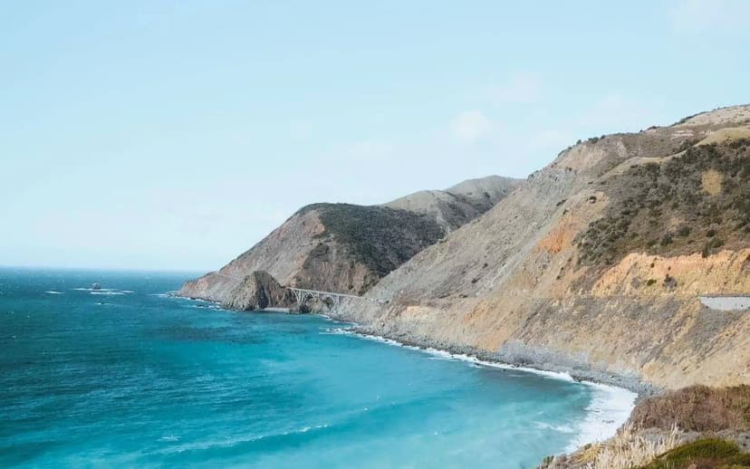
Closures fall into a few predictable categories. Winter and spring storms cause landslides, and Big Sur in particular sees full closures of Highway 1 that can last weeks. Wildfires in late summer can shut sections of 101 with little notice. Construction and repaving happen year round, usually as timed delays rather than full closures. And on the Oregon coast, high wind and coastal flooding occasionally close low bridges and spans. None of this should scare you off, but it is why you check the day you drive rather than the week before.
Speed limits on the Pacific Coast Highway
The speed limit on the Pacific Coast Highway is not a single number. It changes constantly with the terrain, and driving to the posted limit matters here more than almost anywhere:
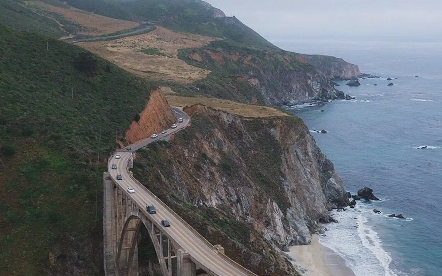
- Big Sur and the twistiest cliff sections of Highway 1 are often posted at 25 to 35 mph, with advisory limits on individual curves that go lower.
- Open coastal stretches of Highway 1 and 101 typically run 45 to 55 mph.
- Rural highway segments of 101 away from the towns can reach 65 mph.
- Town centers along the Oregon coast, like Cannon Beach, Newport, and Florence, drop to 20 to 30 mph and are strictly enforced.
On the narrow parts, use the signed turnouts to let faster local traffic pass. It is the law in California to pull over when five or more vehicles stack up behind you, and it makes the whole road safer.
Reading a map of Oregon Coast Hwy 101
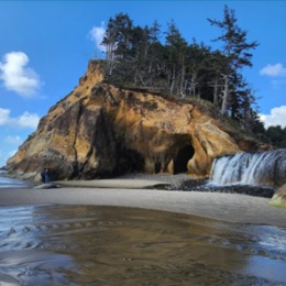
A map of Oregon Coast Hwy 101 is refreshingly simple: the highway runs straight down the coastline from Astoria at the Columbia River to Brookings near the California border, about 360 miles. From north to south you pass Cannon Beach, Tillamook, Lincoln City, Newport, Florence, Coos Bay, and Gold Beach. Mileposts count up as you head south, which makes it easy to describe your location to anyone. Unlike Big Sur, Oregon's 101 is mostly gentle and stays close to sea level, with scenic headlands like Cape Perpetua and Heceta Head marking the standout viewpoints.
Best seasons for open, easy driving
Road conditions track the seasons closely. Late spring through early fall, roughly May to October, gives you the most reliably open roads, the driest pavement, and the fewest slide closures. Winter is the riskiest window for Big Sur specifically, when heavy rain triggers the landslides that shut Highway 1 for weeks at a time. The Oregon coast stays open more consistently year round, but winter brings strong wind, rain, and the occasional coastal flood advisory. If your schedule is tight and you cannot absorb a detour, aim for the drier months and you will rarely meet a closed road.
Fog, wind, and night driving
Closures are not the only condition worth planning around. The central California coast can sit under thick fog on summer mornings, which cuts visibility on the cliff sections and hides the views you came for. It usually burns off by midday. On the Oregon coast, high wind can make bridges and open headlands genuinely uncomfortable for high profile vehicles and trailers. And avoid driving the twisting stretches after dark if you can help it, since there are no streetlights, the curves are sharp, and deer are common at dusk. Time your hardest miles for clear daylight.
Practical tips for closure days
If you hit a closure, Highway 101 usually runs a few miles inland and parallel to Highway 1 in California, so it often serves as the natural detour when the coast road is shut. Download offline maps before you lose signal, keep the tank above half, and build a buffer into your schedule so a delay does not cascade into a missed hotel. If you want the closures and detours already accounted for, the day-by-day pacing in the 14-day West Coast Road Trip itinerary leaves room for exactly these surprises. A calm, checked-ahead approach is really all it takes to enjoy the coast in any season.
A simple pre-drive checklist
Run through the same short list every morning and closures stop being a problem. Check Caltrans QuickMap or ODOT TripCheck for your route and note any active closures or chain controls. Glance at the weather forecast, especially the wind and rain, for the coastal stretch you are driving. Fill the tank if you are below half, since services thin out fast. Download or refresh your offline map while you still have signal. Confirm your next lodging in case a delay pushes your arrival late. It takes five minutes, and it turns the unpredictable parts of the Pacific Coast Highway into something you can plan around with confidence.
Pacific Coast Highway Road Conditions FAQs
Check the official state sources for live status: Caltrans QuickMap for California and ODOT TripCheck for Oregon. Both show closures, delays, and camera feeds in real time, which is far more reliable than social media.
Use Caltrans QuickMap and the Caltrans District 5 updates. Big Sur closes most often after winter storms and landslides, so check it the morning you plan to drive that section.
It varies constantly. Big Sur's cliff sections are often 25 to 35 mph, open coastal stretches run 45 to 55 mph, rural 101 can reach 65 mph, and Oregon coast town centers drop to 20 to 30 mph.
Roughly 360 miles, running from Astoria at the Columbia River south to Brookings near the California border. Mileposts count up as you head south, passing towns like Cannon Beach, Newport, and Florence.
In California, Highway 101 usually runs inland and parallel to Highway 1, so it often works as the detour. Download offline maps, keep your tank above half, and leave buffer time in your schedule for delays.
Yes. The worked day-by-day plan is West Coast Road Trip: The Ultimate 14-Day Pacific Coast Itinerary (14 Days), with the permits, the stays and the drive times already sorted. Tell us your dates and we will put it together for you and confirm what is genuinely open on those days. Asking is free: no card, no deposit, and nothing is held until you say yes.