West Coast Road Trip Itinerary
14 days, Seattle to LA and back. Every stop already timed.
The Oregon Coast Highway, the redwoods, Big Sur, Death Valley, Yosemite and Crater Lake, planned hour by hour. All you do is drive.
“I’ve requested to book a Chain Lakes Loop guide on ExplorOFF, and it was the best idea ever! I highly recommend going with their guided option since you get a real human connection on the trail and don’t have to worry about a thing. Yulia was great to talk to!”




 57 stops on a real mapDays 1 to 3 free to explore→
Every stop is a real pin, in order.
The whole loop, 57 pins with the drive legs between them, in the order you will hit them. Download it before you leave, service drops along Cape Perpetua, the Redwoods and most of Big Sur.
Every stop on this trip, in order, opens as one driving route in the Google Maps app. No copying addresses across one at a time.
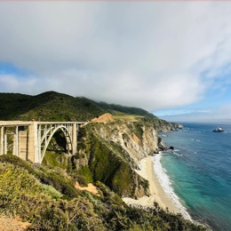
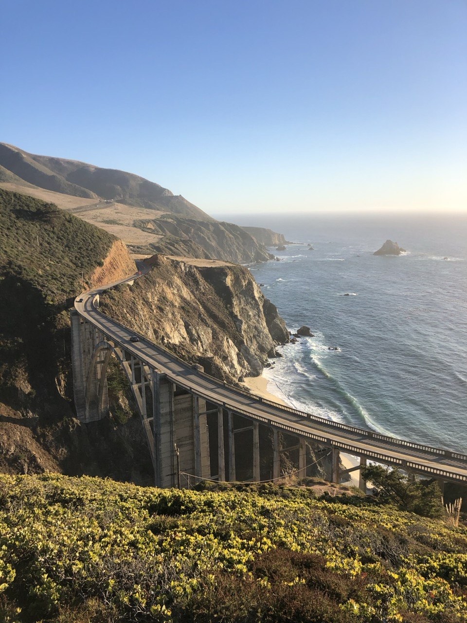
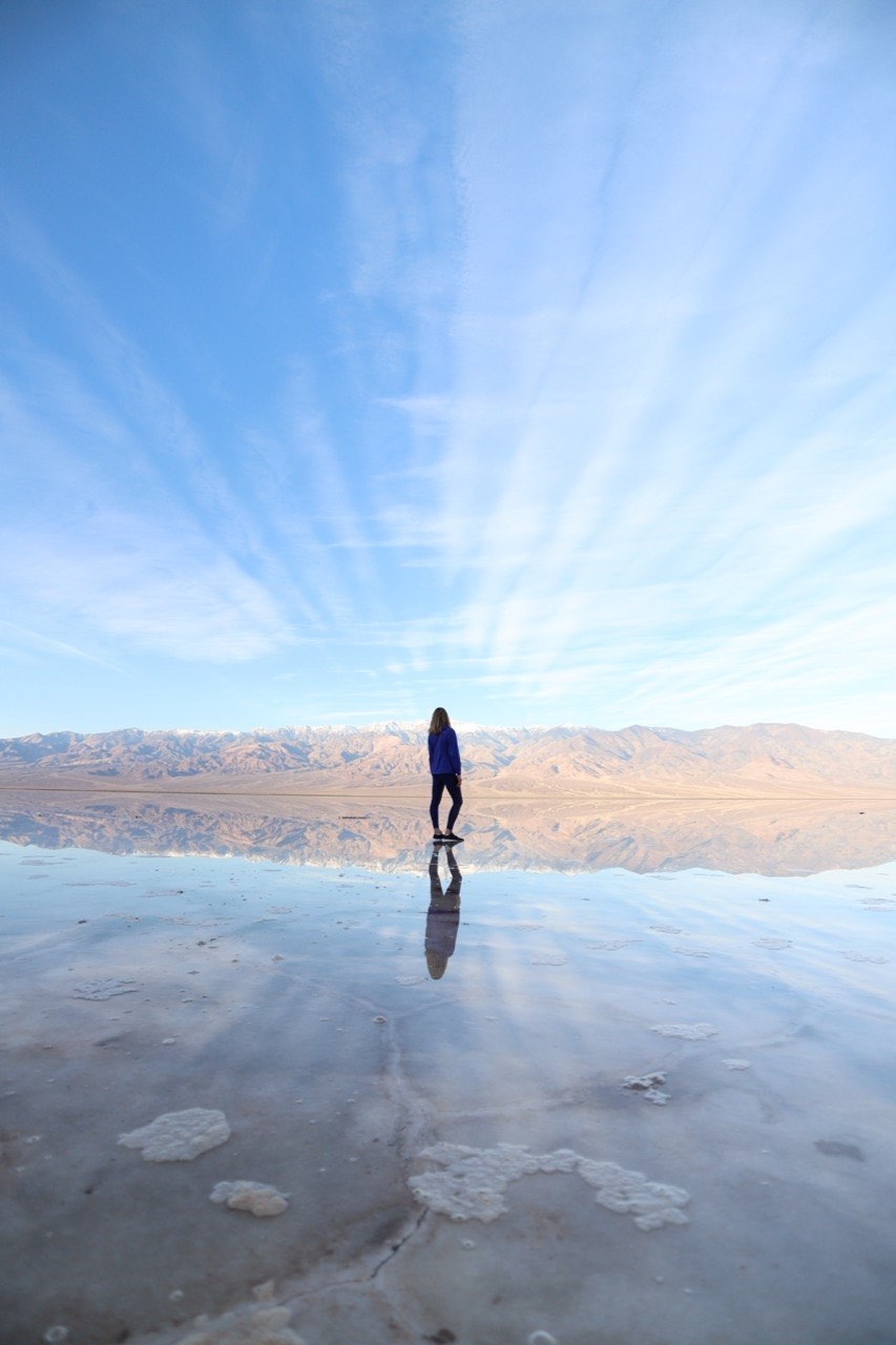
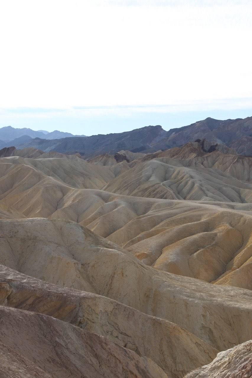
These six are all on the route.
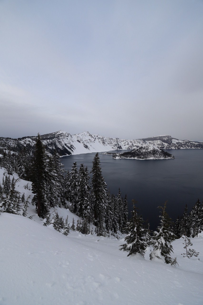
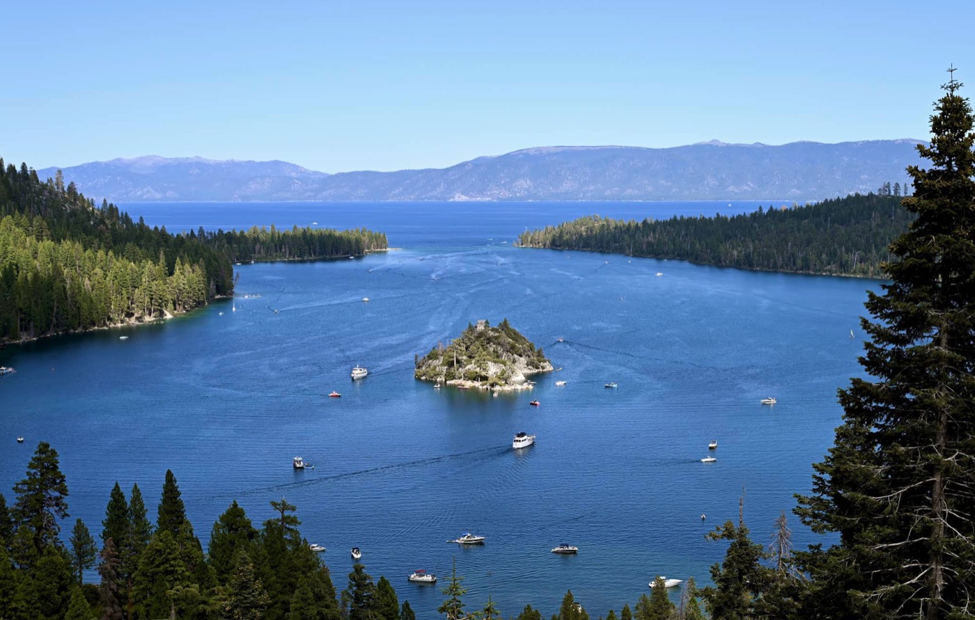
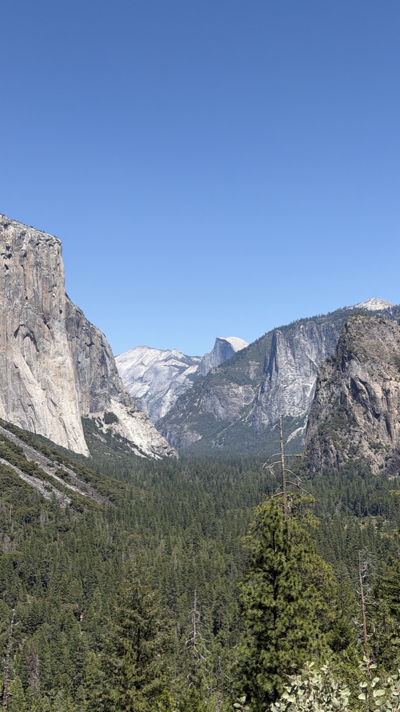
All 14 days, free to read.
Every day, every timed stop, every overnight. Pick a day and drive it.
The full loop. Down Highway 101 to Los Angeles, back north through Death Valley, Yosemite, Lake Tahoe and Crater Lake. Ends where it started.14 days · 57 timed stops · 13 overnights

Seattle to the Oregon Coast
The rugged Oregon coast, chased all the way to a sunset. Clear Seattle early and spend the afternoon hopping headlands and lighthouses down Highway 101 to a stone shelter above the sea.
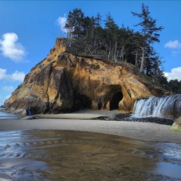
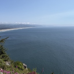

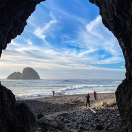
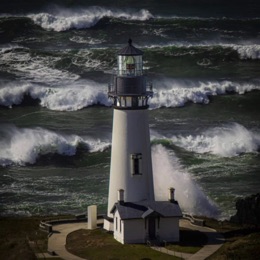
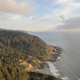
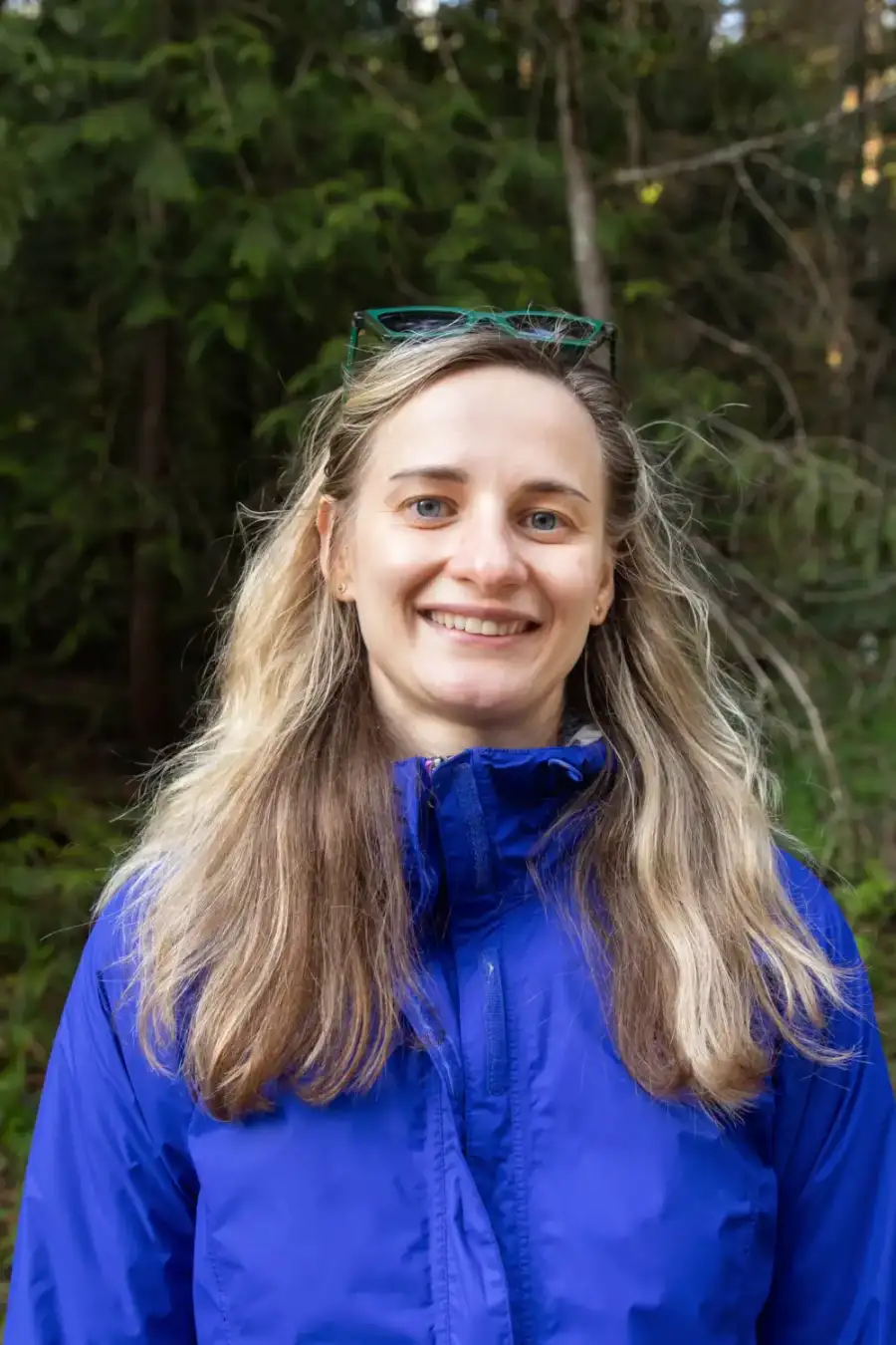
We drove this loop more than once before we sold it. You could piece it together from blogs, but it took us multiple trips to nail the timing, the parking and the tides. That is the version in the guide.
The people who have already driven Highway 101 are the ones who missed things.
Yulia, who founded ExplorOFF and drove and built this route, posted these photos in a Seattle travel group. Most of the replies came from women who have driven the Pacific Coast Highway before, and every comment below is theirs.
Names are shortened to a first name and a last initial.
Wanted to share photos from our Highway 101 route all the way down to LA.
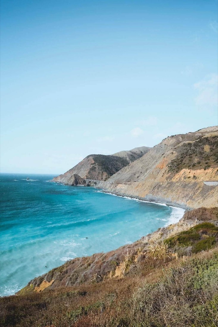
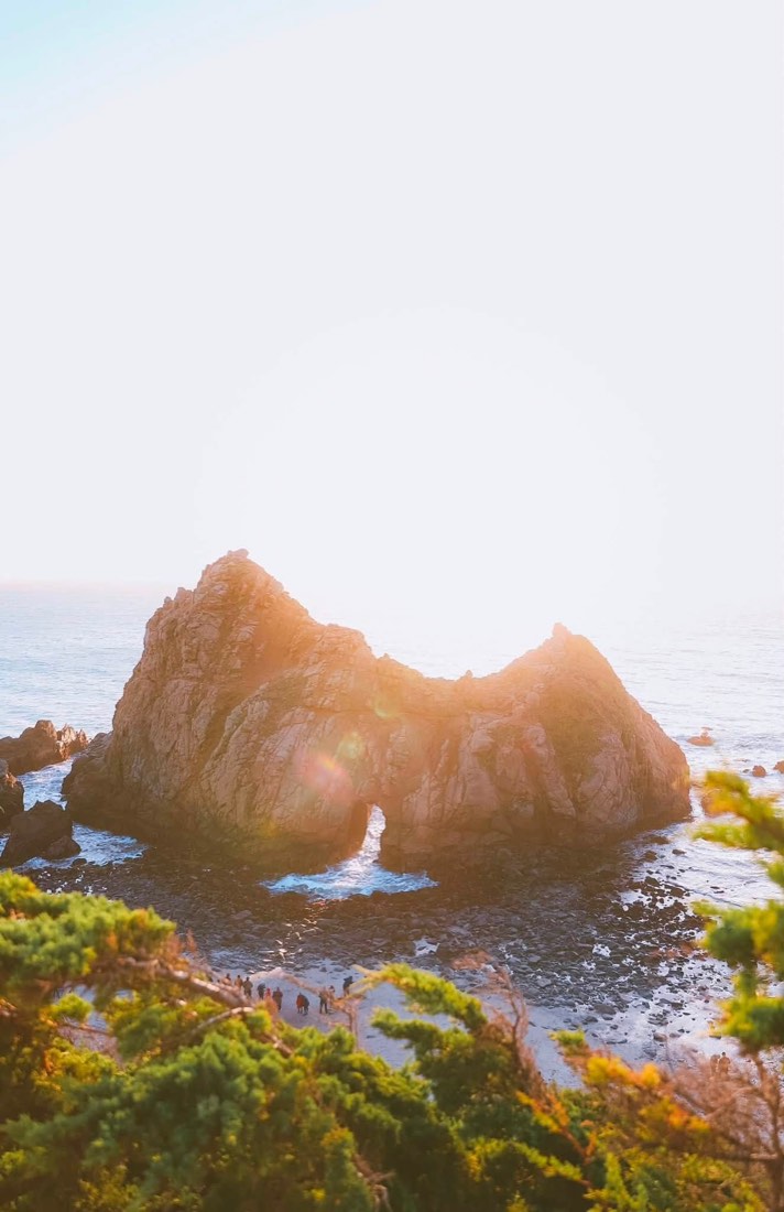
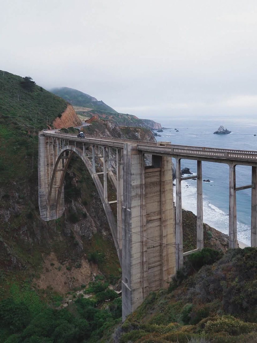
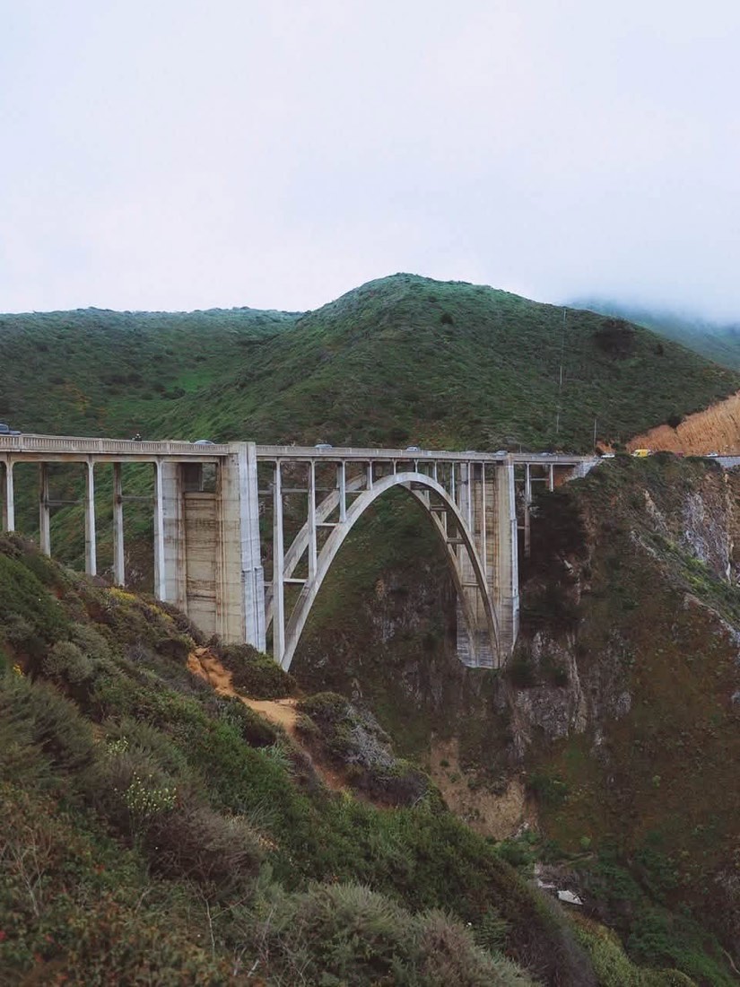
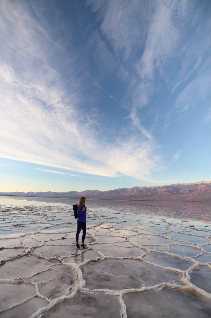
Amazing. We went last year too, and there were things we did not see. If only you captioned each photo as well.
Unbelievably beautiful places. We drove this road again this year and took Highway 1 as well, you cannot look away. Three times now, and every time some new little spots turn up.
We will be there soon. Can you send the beautiful places worth stopping at? Really beautiful photos.
Thank you so much for sharing. A very full travel program. Views so varied, each one beautiful in its own way.
Very beautiful places, and your photographs are gorgeous.
Love this route! Thanks for sharing!
Alcatraz, on your dates
Ferry tickets go weeks in advance and cannot be bought at the pier. Day 8 of this route is the San Francisco day, so book it before you set off, not when you arrive.
Before you buy
Still deciding? These seven come up most.
Fourteen for the whole loop, Seattle to LA and back. It also splits cleanly at Day 7 in Los Angeles: fly home from LAX and you have driven the coast half, start there and you get the desert and Sierra half. Both halves are self-contained, and this itinerary includes the shorter cuts.
South on Highway 101 and the Pacific Coast Highway, north on I-5 and US-395. Going south puts you in the ocean-side lane the whole way down, which is the difference between pulling straight into a turnout and crossing traffic to reach it. Coming back inland instead of retracing the coast is what turns a there-and-back drive into a loop past Death Valley, Yosemite, Lake Tahoe and Crater Lake.
You do not have to. The seven-day version ends at LAX and it is included. The loop exists because the road back up US-395 through Death Valley, Yosemite and Tahoe is the strongest 500 miles of the trip, and it is the half nobody posts about. It adds roughly 300 miles over flying home, and every one of those miles has a stop on it.
It can give you a list of place names. What it cannot give you is the order, the arrival times, the tide windows, or which turnout still has parking at four in the afternoon. Outdoors the answer changes with the tide, the season and the snowpack, and a chatbot states a wrong answer with exactly the same confidence as a right one. You find out which at the trailhead.
Yes. Every stop is a pin in one Google map you can download for offline use before you leave, and the guide prints. Service drops along Cape Perpetua, the Redwoods and most of Big Sur, so plan on it rather than around it.
September is the strongest month on this route: open passes, thinning crowds and the warmest water on the coast all year. June and October are close behind. March through May, Tioga Pass into Yosemite is usually still shut, so Day 10 needs the southern reroute, which is why the fit check above asks for your month.
Every one. That was the single most requested thing when we shared this route, so each photo carries its exact stop, its map pin and the time of day it was taken.
What adventurers say about us.
All reviews are from verified guests. ★★★★★ 5.0 average from 20+ bookings.
"Felt like going out with a really knowledgeable friend who just happens to know everything about the area. No awkward tour-guide energy, just a magnificent day."
"Yulia is an incredible guide. She knew every trail, every viewpoint, and exactly how to pace the day for our group. The photos she took of us were stunning. 100% booking again."
"I was visiting Seattle solo and this was the best decision I made on the trip. Yulia picked me up, had snacks, and took us to a trail I never would have found on my own. Absolute must-do."
"We did this as a couple's trip and it was perfect. Yulia adapted everything to us, our pace, our interests, our photo obsession. The mountain views were unreal."
"Phenomenal experience. Yulia has deep local knowledge and a real passion for the outdoors. She went out of her way to show us the hidden gems tourists never see. Will remember this forever."
"I've done a few guided hikes and this was by far the best. Yulia is warm, funny, and genuinely expert. The trail she chose had the most insane wildflower bloom, we got so lucky."
Distances, timings and fees are planning estimates. Confirm hours, tide tables, road and pass status, and any reservations before you go.
You can't hike it if you can't get the permit.
The best hikes in America run on lotteries that open once a year and sell out in minutes. Every trail runs on its own calendar. Pick the ones you want and we do the watching.
 The WaveCoyote Buttes North · Arizona / UtahPermitLotterybrutal odds
 Half Dome CablesYosemite NP · CaliforniaPermitOpens Mar 1fair odds
 Mt. WhitneyInyo NF · CaliforniaPermitOpens Feb 1tough odds
 Angels LandingZion NP · UtahPermitLotterytough odds
 The SubwayZion NP · UtahPermitLotterytough odds
 Mount St. Helens Summit ClimbGifford Pinchot NF · WashingtonPermitReservationtough odds
How it works
- An email the morning each window opens, never the day after.
- A 14-day heads-up so you can line up your group and dates.
- Win odds and a ranked backup plan for every trail you pick.
Didn't win? We keep watching. We check recreation.gov every day for The Enchantments, Half Dome and Angels Landing, and email you the moment a sold-out date frees up. Cancellations are the second chance most people never hear about.