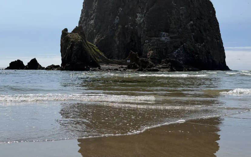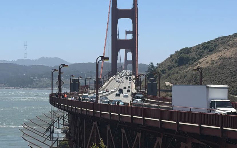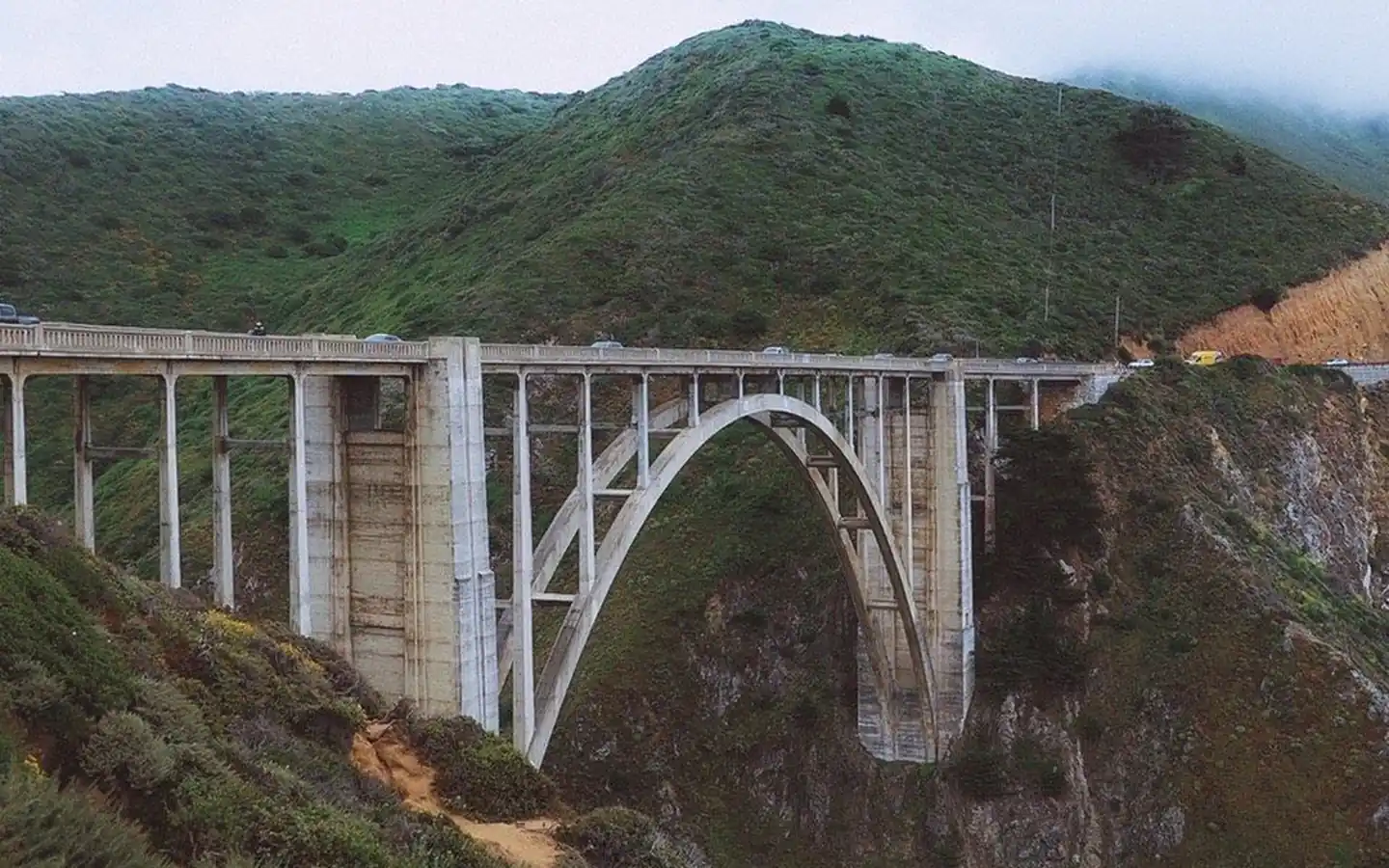
A Pacific Coast Highway motorcycle ride is on nearly every rider's list, and for good reason. Few roads pack this many sweeping cliffside curves, ocean overlooks, and shifting landscapes into a single route. But the coast rewards preparation, because the same fog, wind, and cold that make it dramatic can wear you down if you show up in summer gear expecting sunshine. This guide covers the best sections to ride, the gear and weather to plan for, where to fuel up, and how to pace your days.
The best sections to ride
If you only have time for one leg of a Pacific Coast Highway motorcycle trip, make it Big Sur. The stretch of Highway 1 from Carmel south to San Simeon is the definitive coastal ride, threading past Bixby Bridge, Hurricane Point, and a string of overlooks where the road clings to the cliffs. The curves are constant and the pavement is generally good, though watch for rockfall, gravel, and slow traffic on blind corners.
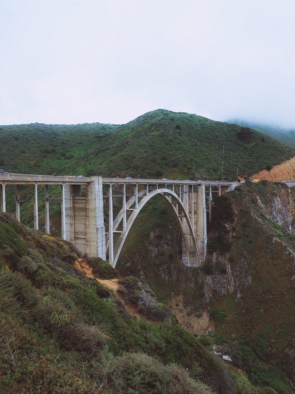
Beyond Big Sur, a few sections stand out for a motorcycle ride Pacific Coast Highway plan:
- Marin to Mendocino in Northern California, where Highway 1 turns wonderfully tight and technical through coastal hills.
- The Avenue of the Giants, a slower, shaded detour through towering redwoods off Highway 101.
- The southern Oregon coast around Cape Perpetua and Bandon, with wide sweepers, sea stacks, and cooler traffic.
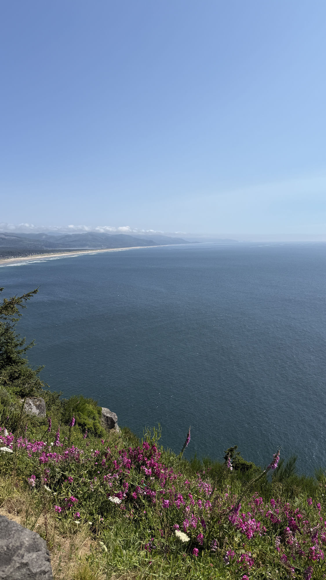
- Neahkahnie Mountain near Manzanita, a short, scenic climb with one of the best ocean overlooks in Oregon.
For a sense of how these sections connect into one long ride, the 14-day West Coast Road Trip itinerary maps the coast from Southern California to Oregon, which makes it easy to plan riding days around the best stretches.
Gear and weather on the coast
The single most important thing to understand about the coast is that it is cold and damp far more often than travelers expect. Summer mornings are frequently socked in with fog, and the marine layer can keep temperatures in the fifties even when inland valleys are baking. Wind along the exposed cliffs is constant, and it pushes hard on a bike. Pack accordingly:
- A waterproof, windproof jacket and pants, or reliable rain gear you can pull on fast.
- Warm layers you can add and shed as the fog comes and goes, plus a neck gaiter or balaclava.
- Waterproof gloves and a spare dry pair, since cold hands ruin a day of technical riding.
- A clear or photochromic visor for fog and low light, because glare and mist reduce visibility quickly.
Ride the twistiest sections in the late morning or early afternoon when the fog often lifts, and be cautious first thing, when pavement is damp and traction is lower on the shaded curves.
Fuel stops and services
Fuel planning matters more on the coast than on most routes, because the scenic stretches are also the emptiest. Through Big Sur there are only a couple of stations between Carmel and Cambria, and they charge a premium and can run low in peak season. The rule of thumb is simple: top off in the larger towns and never let the tank drop below half through the remote sections. Good refuel and rest points include Monterey, Cambria, and Morro Bay in the south, and Fort Bragg, Eureka, and the bigger Oregon coast towns like Newport and Coos Bay further north. Carry water and snacks too, since services can be sparse and cell coverage is patchy in the canyons and forest.
Pacing your daily mileage
Riders used to open highway miles often overestimate how far they can comfortably go on the coast. The curves, overlooks, fog, and traffic all slow you down, and a day that looks like 250 miles on the map can eat six or seven hours in the saddle. A realistic target is roughly 150 to 200 miles a day through the scenic sections, a little more on the flatter runs. Build in time to stop, because the overlooks are the whole point, and fatigue on tight cliffside curves is where mistakes happen. If you are riding the full coast, plan a rest day or two in towns like Monterey, Mendocino, or a favorite Oregon beach town to recover before the next leg.
Approached with the right gear and an honest pace, a Pacific Coast Highway motorcycle ride is exactly the trip its reputation promises: hundreds of miles of ocean, curves, and open road, ridden the way the coast deserves.
Pacific Coast Highway Motorcycle Ride FAQs
Big Sur, the stretch of Highway 1 from Carmel south to San Simeon, is the definitive ride, with constant cliffside curves past Bixby Bridge and Hurricane Point. Marin to Mendocino and the southern Oregon coast are excellent runners-up.
Plan for cold, wind, and fog even in summer. Bring waterproof, windproof jacket and pants, warm layers you can add and shed, waterproof gloves plus a dry spare, and a clear or photochromic visor for fog and low light.
Aim for roughly 150 to 200 miles a day through the scenic sections, and a bit more on flatter runs. Curves, overlooks, fog, and traffic slow you down, so a 250-mile map day can easily take six or seven hours in the saddle.
Top off in the larger towns and never drop below half a tank through remote stretches. Through Big Sur there are only a couple of pricey stations between Carmel and Cambria. Good refuel points include Monterey, Cambria, Fort Bragg, Eureka, Newport, and Coos Bay.
Cooler and damper than most riders expect. Summer mornings are often foggy with a marine layer that keeps temperatures in the fifties, and wind along the cliffs is constant. Ride the twistiest sections in late morning when the fog tends to lift.
It is very rewarding but demands respect. Watch for rockfall, gravel, damp shaded pavement, slow traffic on blind corners, and fatigue on tight cliffside curves. Ride at a relaxed pace, take rest days, and be extra cautious early when traction is lower.
Yes. The worked day-by-day plan is West Coast Road Trip: The Ultimate 14-Day Pacific Coast Itinerary (14 Days), with the permits, the stays and the drive times already sorted. Tell us your dates and we will put it together for you and confirm what is genuinely open on those days. Asking is free: no card, no deposit, and nothing is held until you say yes.