Camping in the Ouachita National Forest
The Ouachita National Forest covers roughly 1.8 million acres across west-central Arkansas and into eastern Oklahoma, making it the oldest and largest national forest in the South. For campers that means a huge range of options, from full-amenity lakeside campgrounds to free, no-frills dispersed sites deep on the ridges. This guide breaks down where to sleep, what it costs, and the rules that keep the backcountry open.
Developed Campgrounds
If you want a picnic table, a fire ring, and a vault or flush toilet, the forest has dozens of developed campgrounds, many of them clustered around lakes and rivers. Reliable favorites include:
- Lake Ouachita area sites near the dam, popular for paddling, fishing, and swimming.
- Iron Springs and Charlton along Highway 7 between Hot Springs and Jessieville, both shaded and creekside.
- Albert Pike on the Little Missouri River, a longtime gem for families.
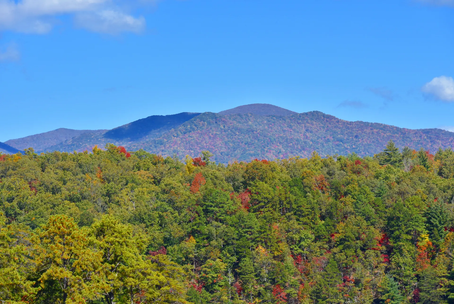
- Queen Wilhelmina State Park on Rich Mountain, technically state-run but right on the forest crest.
Developed sites typically run a modest nightly fee, and many are reservable through Recreation.gov while others remain first-come, first-served. Weekends from May through October fill fast, so reserve early or arrive midday.
Dispersed and Free Camping
One of the best things about the Ouachita is its generous dispersed camping policy. Outside of developed recreation areas and posted closures, you can generally camp for free on forest land. This is the heart of the backpacking experience here.
A few ground rules keep it sustainable:
- Camp at least 100 feet from water sources and trails where possible.
- Use existing fire rings, and check current burn bans before lighting any fire, which are common in late summer.
- Pack out all trash and follow Leave No Trace principles.
- Stays are limited to 14 days in one spot.
Dispersed camping along the ridges is exactly how thru-hikers handle the long traverse. Our 7-day Ouachita Trail backpacking itinerary maps out where to find reliable water and good tent sites between Rich Mountain and the Flatside Wilderness.
Backpacking and Trail Camping
The Ouachita Trail runs about 223 miles from Talimena State Park in the west to Pinnacle Mountain near Little Rock in the east. Shelters appear at intervals along the trail, first-come and free, but they fill up, so always carry a tent. Backcountry camping along the trail does not require a permit, which makes spontaneous trips easy.
The biggest planning factor is water. Springs and creeks are seasonal, and ridgetop stretches can be dry, especially in late summer and early fall. Study water reports, carry capacity for dry stretches, and always treat or filter what you collect.
Best Time to Camp
Seasons shape the experience dramatically:
- Fall (October-November): the prime window, with cool nights, peak foliage, and low bug pressure.
- Spring (March-May): wildflowers, full creeks, and green ridges, though storms roll through.
- Summer: hot and humid with ticks and chiggers; stick to shaded creekside sites and swim often.
- Winter: quiet and bug-free, with open views, but plan for freezing nights and possible ice.
What to Know Before You Go
A handful of practical notes:
- Bring a bear-aware food strategy; black bears live throughout the forest, so hang or store food properly.
- Ticks and chiggers are serious from spring through fall, so treat clothing with permethrin.
- Cell coverage is poor across most of the forest, so download maps and tell someone your plan.
- Stock up in gateway towns like Mena, Hot Springs, or Jessieville, because services thin out fast once you leave the highways.
Whether you want a lakeside basecamp or a string of solo nights on the ridge, the Ouachita National Forest delivers some of the most accessible and uncrowded camping in the country.


