Mount Rainier as a Day Hiking Destination
Most people who talk about Mount Rainier are talking about climbing it, the glaciated summit at 14,411 feet is one of the most climbed high peaks in North America. But the mountain's reputation as a mountaineering objective undersells it as a hiking destination. The subalpine meadows that ring Rainier's lower flanks, called the 'high country', are among the most spectacular in the Cascades. Wildflower blooms from mid-July through mid-August are as dense and colorful as anything in North America. Glaciers visible from established trails give you the visual drama of the icefields without the technical gear. And the park's trail system connects trailheads at 5,400–6,400 feet elevation, which means you're starting high enough to reach genuinely alpine terrain on a half-day walk.
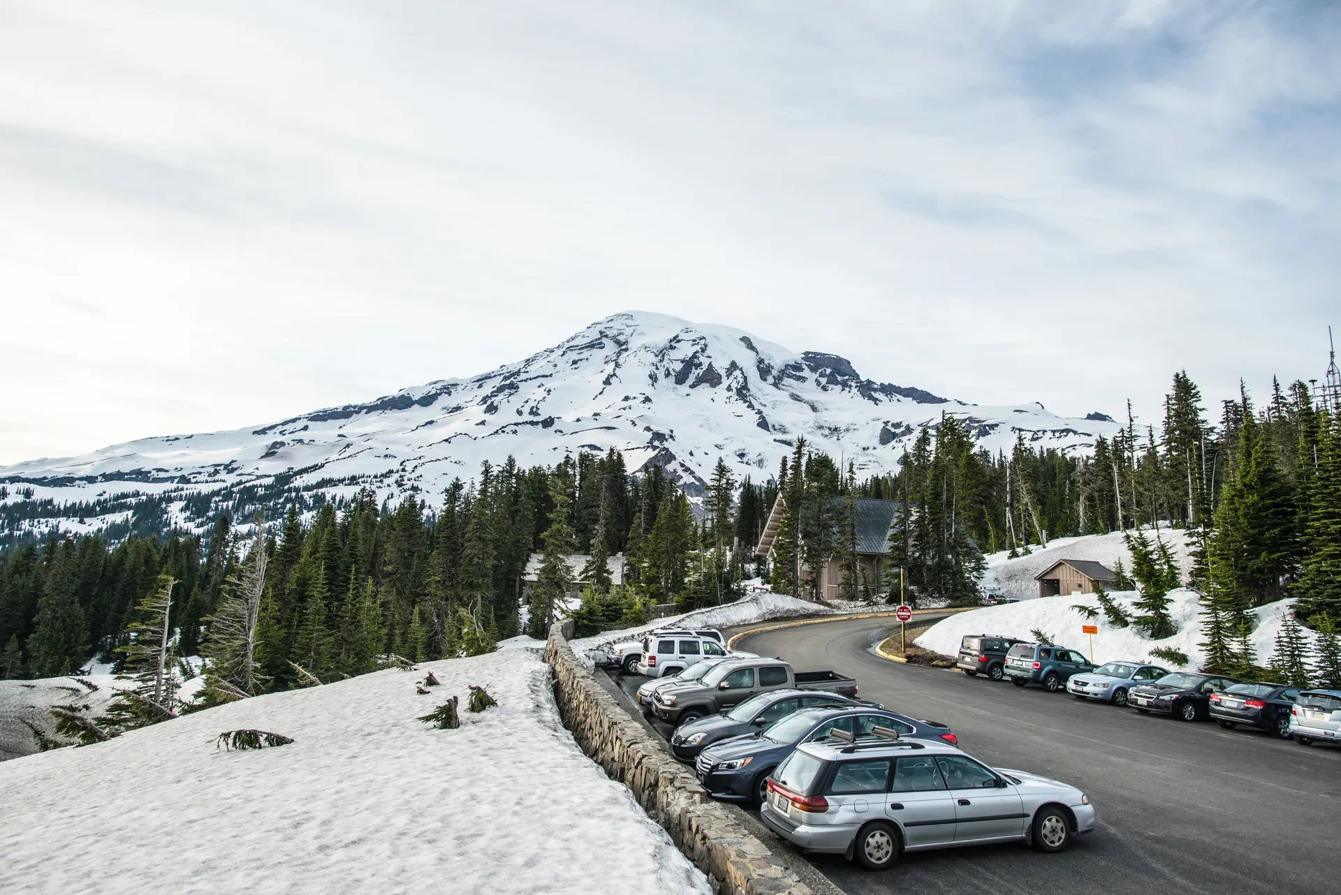
The park receives about 2 million visitors a year, with the Paradise area absorbing a disproportionate share. Paradise is at 5,400 feet on the south side, it has the visitor center, the lodge, and the most concentrated trail network in the park. The Sunrise area on the northeast side sits at 6,400 feet (the highest point accessible by car in Washington state) and offers views directly onto the Emmons Glacier, Rainier's largest. Between them, Carbon River, Mowich Lake, and the northwest wilderness provide far more solitude.
Skyline Trail Loop: Paradise's Best Circuit
The Skyline Trail Loop (5.5 miles, 1,700 ft gain) is the definitive Paradise day hike. Starting from the Henry M. Jackson Visitor Center, the trail climbs through meadows past Myrtle Falls (a quick side-trip worth doing), crosses Panorama Point at 6,800 feet with direct views onto the Nisqually Glacier and the summit above, and returns via the Golden Gate Trail. The full loop hits three distinct zones: the lower flower meadows, the rocky moraine terrain above, and the windswept high country near Panorama Point where the vegetation thins to scattered subalpine fir and open scree.
July is the transition month, snow often lingers on the upper sections into late July, and hikers sometimes need microspikes. By early August the route is typically clear and the wildflowers are at absolute peak. The wildflower display along the lower Skyline sections is extraordinary: lupine, paintbrush, bistort, and hundreds of other species carpet the hillside in waves of color. Allow 3-4 hours at a comfortable pace.
Glacier Vista and Panorama Point (add-on)
From the Skyline Trail, a short detour to Glacier Vista (6,336 ft) brings you to the closest viewpoint above the Nisqually Glacier accessible without technical gear. The moraine below is recent, the glacier was at this point within living memory. The contrast between the raw, lichen-free rock and the vegetated meadows 200 feet below is a tangible lesson in glacier retreat. Panorama Point adds another 464 feet of elevation from the main Skyline junction and provides the most dramatic foreground-to-summit view in the park on a clear day.
Burroughs Mountain: The Best High Route
Burroughs Mountain (7.5 miles round-trip from Sunrise, 900 ft gain to First Burroughs; 11.5 miles round-trip to Third Burroughs, 1,400 ft gain) is the single best sub-summit high route in the park for day hikers. The trail climbs from the Sunrise parking area through meadows, crosses a broad ridge, and reaches the open volcanic rock of First Burroughs at 7,000 feet. The views of the Emmons Glacier directly below and the summit pyramid above are extraordinary. Second Burroughs (7,400 ft) offers even more exposure and the beginning of the moon-like volcanic terrain that feels genuinely otherworldly. Third Burroughs (7,800 ft) reaches the permanent snowfield zone and requires snow travel skills in most years.
The key detail: Burroughs Mountain sits on fragile subalpine terrain above treeline. The park requires hikers to stay on established trails, the volcanic pumice and thin soil are easily damaged. The Sunrise parking area fills by 9 a.m. on summer weekends. Arrive early or take the Sunrise bus from the White River Campground when it operates.
Spray Park: Wildflowers Without the Crowd
Spray Park (8.0 miles round-trip from Mowich Lake, 1,500 ft gain) is consistently rated as the best wildflower meadow in the park, yet receives a fraction of the Paradise traffic because the Mowich Lake trailhead requires a longer drive on an unpaved road. The meadow itself sits at about 6,400 feet, directly below the Willis Wall and Liberty Ridge routes on Rainier's northwest face. The flower display in late July and early August rivals Paradise's but with vastly fewer people around. Spray Falls, reached on the way up, is a 354-foot cataract falling directly off a cliff face, one of the tallest free-falling waterfalls in Washington.
To reach Mowich Lake, take SR-165 from Buckley and follow the gravel road to the lake (about 10 miles of unpaved driving). High-clearance vehicles preferred. No entry station on this road, self-pay at the lot. The road typically opens in late June.
Comet Falls and Van Trump Park
Comet Falls (3.8 miles round-trip, 900 ft gain) is the most dramatic waterfall hike in the park, the falls drop 320 feet in a near-vertical plunge off a basalt cliff. The trail climbs aggressively through old-growth forest before opening at the base of the falls. Extend the hike by continuing another 1.2 miles to Van Trump Park at 6,000 feet, open meadows with views of the Kautz Glacier above and the carbon river valley below. Van Trump Park adds 800 feet of gain but is worth it for hikers willing to push.
The Carbon River Rainforest, at the park's northwest corner, offers a completely different ecosystem: a temperate rainforest receiving 120 inches of rain per year, with massive Western red cedars draped in moss. The Carbon River Rain Forest Loop (1.1 miles, flat) is accessible and unlike any other trail in the park. The Carbon River Road is permanently closed to vehicles past the entrance station, the paved road becomes a walking/biking trail.
Getting There and Permits
Mount Rainier has four entrance points. The Nisqually (southwest) entrance is the main gateway and the one most visitors use for Paradise, it's open year-round. The White River (northeast) entrance leads to Sunrise and is seasonal (typically July through mid-October). The Carbon River (northwest) and Mowich Lake (west) entrances require longer drives from Seattle and Tacoma.
A timed-entry reservation system is in effect for the Paradise and Sunrise areas during peak season (typically late June through Labor Day). Vehicle reservations are made through Recreation.gov. Without a reservation, entry is limited to early morning and late afternoon windows. Backcountry permits are required for all overnight camping and are issued through the park's permit system (first-come at the Longmire Wilderness Information Center, or through online reservations).
The park entrance fee is $30 per vehicle (2025). The America the Beautiful annual pass covers it. Cell service is poor to nonexistent on most park roads. Download trail maps offline before arriving.
Best Season
Mid-July through mid-August is peak wildflower season at Paradise, the most visually dramatic weeks of the year. August is more reliably dry than July. September brings quieter trails, cooler temperatures, early berry season, and often excellent weather before fall storms. Sunrise closes in mid-October. Paradise stays accessible year-round but most trails are under snow from November through June. Snowshoeing at Paradise in winter is a legitimate activity and very popular.


