Why Lake Serene Is Worth It
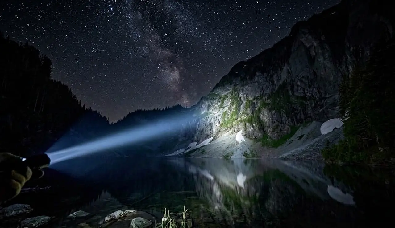
Lake Serene sits in a dramatic cirque at the base of Mount Index's sheer north face, one of the most imposing granite walls in the Cascades. The lake itself is turquoise-clear, cold, and surrounded by heather meadows and boulder fields. On a clear day, the reflection of the 5,979-foot north face in the water is one of the most striking views in Washington State. The hike to get there is 8 miles round trip with 2,521 feet of elevation gain, relentless in places, with a steep climber's trail in the upper section. This is not a casual stroll, but it's achievable for anyone with a reasonable baseline of hiking fitness.
The trail also passes Bridal Veil Falls at mile 2, a 200-foot cascade that's worth the extra 0.5-mile detour even if you don't continue to the lake. Many families hike to the falls and turn around, it's a legitimate destination on its own.
Trail Stats
- Distance: 8 miles round trip (add 1 mile for Bridal Veil Falls detour)
- Elevation gain: 2,521 feet
- Difficulty: Strenuous
- High point: 2,521 feet at Lake Serene (trailhead is at ~900 feet)
- Best season: July through October, the upper trail holds snow into July most years
- Permit: Discover Pass required for trailhead parking ($30/year or $11.50/day)
- Time: 5–8 hours round trip
Getting to the Trailhead
The Lake Serene trailhead is on US-2 (Stevens Pass Highway) near the town of Index, Washington, about 35 miles east of Everett and 65 miles east of Seattle. From Seattle, take I-5 north to US-2 east. The trailhead parking lot is on the south side of US-2, across from the turnoff for the town of Index. GPS coordinates: 47.8177° N, 121.5514° W.
The parking lot is small and fills early on summer weekends, arrive by 7am or you'll park along US-2 and add a roadside walk. A Discover Pass is required and rangers do ticket here. Buy it at the trailhead iron ranger or in advance at discoverpass.wa.gov.
The Route: Trailhead to Lake Serene
Miles 0–2 (Trailhead to Bridal Veil Falls junction): The trail starts with a moderate climb through old-growth Douglas fir and cedar. The forest is thick and mossy, classic Cascades West Slope. The first two miles gain about 800 feet at a manageable grade. At mile 2, the trail forks: left for the Lake Serene main route, right for Bridal Veil Falls (0.5 miles, ~200-foot further gain).
Bridal Veil Falls detour (optional): Worth doing. The falls drop 200 feet into a tight gorge. The viewpoint is spray-soaked and dramatic. Return to the main trail fork and continue left toward the lake.
Miles 2–4 (Falls junction to Lake Serene): This is where the hike earns its strenuous rating. Above the falls junction, the trail climbs aggressively, often 500–700 feet per mile. The lower forest transitions to subalpine terrain: smaller trees, open rocky sections, and eventual views of the Index Peaks. The final half-mile switchbacks up a steep rocky headwall before the grade eases and the lake appears suddenly.
At the Lake
Lake Serene is cold (typically 45–55°F even in August, it's fed by snowmelt and sits in shadow much of the day) and brilliantly clear. The north face of Mount Index rises directly above the far shore. There's good rock scrambling above the lake for those who want it. The upper basin has some of the best picnic spots in the Cascades.
The lake is small enough to walk around in 20 minutes. Camping is allowed at designated sites (first-come, first-served) near the lake, fires are prohibited. The most popular camping spots fill on Friday nights. Day hikers typically spend 30–60 minutes at the lake before returning.
Trail Conditions by Season
July: The trail is usually snow-free, but the upper headwall may still have some snow patches. Check recent trip reports on WTA.org (Washington Trails Association), conditions vary significantly year to year. Wildflowers are at peak in early July.
August: Best conditions overall. Snow-free, wildflowers fading but views are exceptional. Busy on weekends.
September: Huckleberries ripen below the lake. Crowds thin. The basin can see early snow in late September. Often the best month for solitude and color.
October: Possible snow. The trail becomes icy and potentially dangerous without microspikes after the first freeze. Check conditions before going.
November–June: High avalanche terrain above the lake makes winter access dangerous. The trail is used by experienced mountaineers but is not appropriate for general hiking when snow is present.
Key Hazards
Snow: The headwall above the falls junction can hold dangerous snow through mid-July. Post-holes and icy patches are hazardous without traction devices. Check WTA trip reports before your hike.
Exposure near the lake: The rocky terrain around the lake involves some scrambling, loose rock can be slippery when wet. Stay back from ledge edges.
Afternoon thunderstorms: Less common than on eastern Cascades peaks, but possible in summer. Start early to be at or below the lake headwall by early afternoon if storms are possible.
Parking lot crime: Car break-ins are reported at this trailhead. Don't leave valuables in your vehicle. Leave the glove box open and visibly empty.
What to Bring
2–3 liters of water (there's no reliable water source near the trailhead, the creek near the falls can be filtered), high-calorie snacks, layers (the lake basin is significantly cooler than the trailhead, 15°F difference is common), and traction devices (microspikes) if going before late July or after early October. Trekking poles are strongly recommended for the steep descent.
Nearby
The town of Index is a few minutes west on US-2, a tiny former mining town with a cafe and a climbing crag (Index Town Walls) that's one of the best sport climbing areas in Washington. The Cascades Brewery in Leavenworth is 35 miles east on US-2 for post-hike food. Stevens Pass ski resort is 25 miles east.


