One Map Cannot Do This
A national park road trip has two completely different map problems. Inside a park you need trails, shuttle stops, closures and a blue dot with no signal. Between parks you need a highway, a fuel stop and somewhere to sleep.
Four maps cover both, and three of them are free.
1. The Official Park Map, in Avenza
The National Park Service publishes its park maps as free PDFs, and a large number of them are georeferenced. Load one into Avenza Maps, which is also free, and you get your own position plotted on the official park map with no signal at all.
This is the single best trick in park travel and hardly anyone uses it. The cartography is better than any commercial product, it shows the road closures and the shuttle stops, and it costs nothing.
Download every park's map before the trip, not at the gate where there is no bandwidth.
2. Google Maps, Downloaded
For the driving. Select the region and download it while you still have service, and turn-by-turn keeps working through the dead zones, which on a Utah or Montana trip is most of the day.
What it will not tell you: whether the road is open. Going-to-the-Sun Road does not fully open until late June or July most years, Trail Ridge Road in Rocky Mountain closes with the first real snow, and Google will happily route you over both in May. The park's own current conditions page is the authority.
3. National Geographic Trails Illustrated
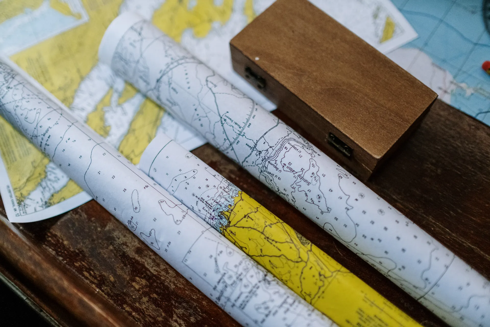
If you are going to hike more than a viewpoint walk, buy the sheet for that park. Waterproof, tear-resistant, drawn at a scale that shows individual trails with mileages between junctions, and it does not run out of battery.
One per park. They are cheap and they are the map you will still have in ten years with a coffee ring on it.
4. The State Atlas and Gazetteer
The large-format paper atlas for each state you cross. It shows what the phone flattens away: forest service road numbers, land ownership, dirt tracks, boat launches, and the gap between towns.
This is where a park trip stops being the same trip everyone else took. The national forest that borders almost every western national park is where the free dispersed camping is, and the atlas is how you find it.
The Layer Most People Miss
Land ownership. Google Maps does not show it. Neither does Apple. So the question of whether that pullout is national forest where you can sleep for free, or private ranch land where you cannot, is invisible on the map most people are using.
Gaia GPS and onX both carry ownership and motor vehicle use layers. On a trip built around camping rather than lodging, that one layer is worth more than every other paid feature combined.
Where the Maps Stop and the Reservations Start
The thing that ruins national park trips is never the route. It is the booking.
- Timed entry. Arches, Rocky Mountain, Glacier and Yosemite have all run vehicle or timed entry systems, and the rules change year to year. Check each park's page in the season you are travelling.
- Campgrounds. Recreation.gov opens most park campgrounds on a six-month rolling window and the popular ones go in minutes.
- Permits. Angels Landing, Half Dome and the Wave are lotteries, not first come.
- Shuttles. Zion and Bryce run mandatory shuttles in season, which changes where you can park and when you should arrive.
Sort those before you draw a route, because they decide the route.
A Working Setup
- Download the NPS PDF for every park into Avenza.
- Download the Google Maps offline region for each state segment.
- Buy one Trails Illustrated sheet per park you will hike in.
- Carry the Atlas and Gazetteer for the states you cross.
- Print one page: route, overnight stops, campground phone numbers.
Total cost is the price of a few paper maps, and the phone dying stops being a trip-ending event.
Best Maps for a National Park Road Trip: The Four You Need FAQs
They are excellent, and they are the same map the ranger hands you at the entrance station. The Park Service publishes them as free PDFs, several of them georeferenced, so you can load one into Avenza Maps and get your own position on it offline.
You should assume you have none. Most parks have signal at the visitor center and nowhere else. Download the offline region in Google Maps and the park PDF into Avenza before you arrive, not once you are inside.
National Geographic Trails Illustrated. They are waterproof, drawn at a scale that shows individual trails with mileages, and there is a sheet for effectively every major park. One per park you plan to walk in.
Gaia GPS and onX both carry motor vehicle use data and land ownership layers, which is what you need to know whether a track is public and whether you can camp on it. Neither Google nor Apple Maps shows land ownership at all.
Four: Rocky Mountain, Mesa Verde, Black Canyon of the Gunnison and Great Sand Dunes. There are also several national monuments and recreation areas, which is why the count people quote varies.
One page: your route with the overnight stops, and the phone numbers for the campgrounds. Every other map has a backup except the one that says where you are supposed to be sleeping tonight.
Yes. The worked day-by-day plan is National Park Road Trip: A 7-Day Southwest Itinerary (7 Days), with the permits, the stays and the drive times already sorted. Tell us your dates and we will put it together for you and confirm what is genuinely open on those days. Asking is free: no card, no deposit, and nothing is held until you say yes.