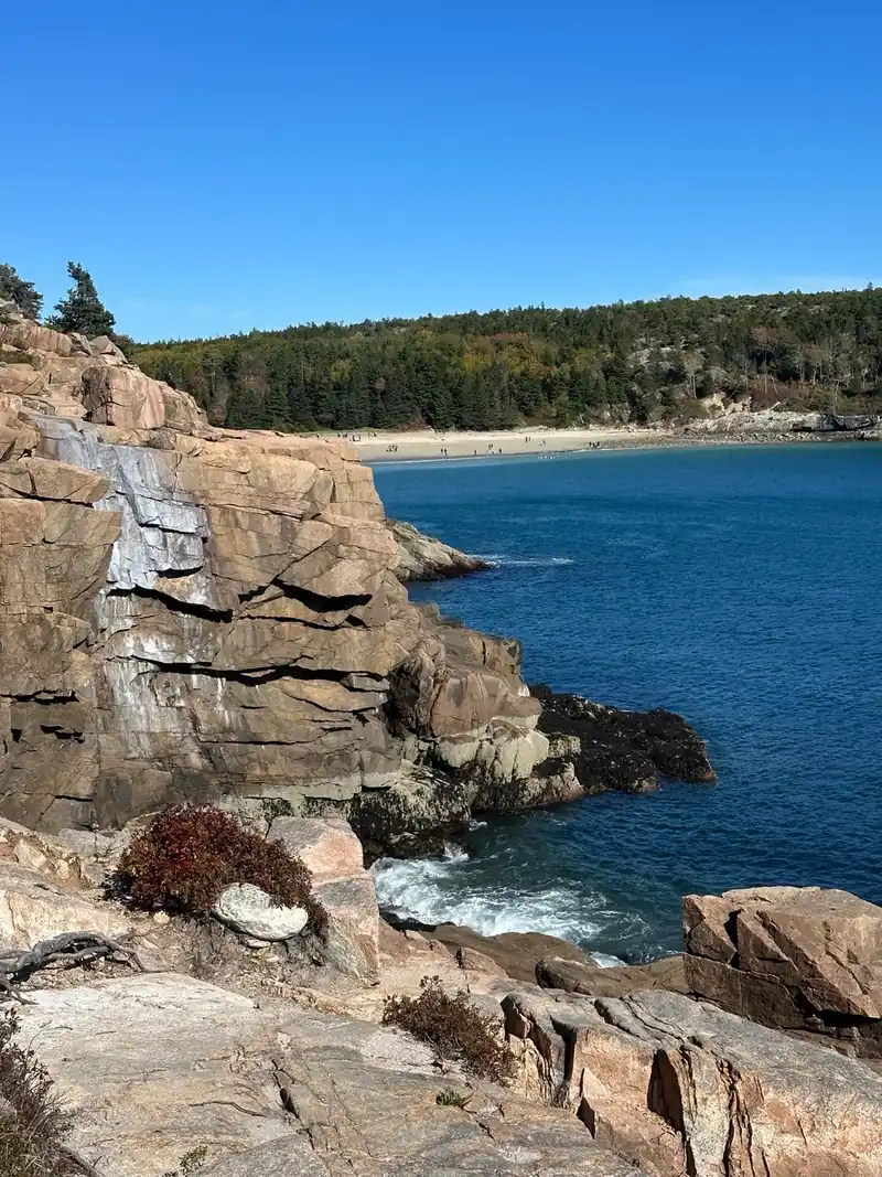
If you have gone looking for Anemone Cave on an Acadia National Park map and come up empty, that is not an oversight. The park deliberately removed it, took down the signs, and pulled out the steel railings that once guided visitors down the cliff to the entrance.
It is a real place, and people do still go. But the reasons it was erased are worth understanding before you decide to, because they are better reasons than the usual national park secrecy.
What Anemone Cave is
Anemone Cave is a sea cave on the headland near Schooner Head, on the eastern shore of Mount Desert Island. The Atlantic carved it out of the granite over a very long time, and at low tide it opens into a chamber roughly the length of a tennis court with tide pools across its floor.
Those pools were the attraction. They held dense colonies of sea anemones, which is where the name comes from, along with the usual Gulf of Maine tide pool life. In the late 1800s and early 1900s it was one of the most celebrated stops on the island, appearing in guidebooks and on the earliest park maps. It also carried an older, better name in local lore: the Devil's Oven.
Why the park took it off the maps
Three reasons, and they compounded.
The anemones were being destroyed
Visitors waded into the tide pools to get a closer look and to photograph them. Anemones are soft-bodied animals attached to the rock, and they do not survive being trodden on. Populations inside and near the cave declined measurably as visitation grew. The thing everyone came to see was being erased by the people coming to see it.
People were getting hurt, and killed
The cave floor is seaweed over wet rock, which is about as slippery a surface as exists in nature. The park recorded injuries and at least one death. Removing the cave as a promoted attraction was partly a safety decision.
The rescues were dangerous in themselves
This is the part that finally settled it. The cave is tidal. Visitors who did not account for the tide conservatively found themselves cut off, and the Coast Guard was called out repeatedly to retrieve people trapped inside or swept off the rocks. Rescuing someone from a tidal sea cave puts the rescuers at real risk, and it kept happening.
So the National Park Service pulled it from maps and park literature, removed the infrastructure, and stopped maintaining the route down.
Should you go?
Our answer is no, and not for squeamish reasons.
The route down is an unmaintained scramble on rock that the park no longer inspects or secures. There are no railings because they were taken out. There is no signage, no maintained path, and no cell reception worth relying on at the bottom of a granite headland. The tide will come in whether or not you checked the table.
And the honest thing about the destination: the anemone colonies that made it famous are much diminished. You would be taking a genuine risk, on a route the park has actively de-promoted, to see a degraded version of what the photos show. The tide pooling elsewhere in Acadia is better, safer, and legal to publicise.
If you go anyway, go at dead low tide on a falling tide, never a rising one, wear boots with real grip, tell someone your plan, and stay out of the pools entirely. Every organism in them is living on a rock it cannot leave.
Where to tide pool in Acadia instead
You do not need the cave for this. Acadia's intertidal zone is one of the richest on the Atlantic coast, and the park actively encourages people to explore it in the right places.
- Ship Harbor, on the quiet west side. A 1.3-mile easy loop trail built for exactly this, ending on ledges that empty out at low tide. The best tide pooling in the park and suitable for children.
- Wonderland, next door to Ship Harbor. A flat 1.4-mile out-and-back to a cobble shore with wide pools and almost no elevation.
- Bar Island, reached on foot across the sandbar from Bar Harbor for about 90 minutes either side of low tide. Excellent shallow pools, and a genuine tidal walk with the same lesson about tide tables attached, but with an obvious exit you can see the whole time.
- Little Hunters Beach, a cobble cove off the Park Loop Road, reached by a staircase.
All four reward the same thing: check a tide chart, arrive within an hour of low water, crouch down, and look without touching. Watch the incoming tide from above rather than from inside anything.
For the rest of the coast, our Acadia National Park 3 day itinerary covers Thunder Hole, Otter Cliff, Sand Beach, and the quiet west side day by day, with the tide-dependent stops timed so you arrive when they actually work.
Anemone Cave, Acadia: Why It's Not on Any Map Anymore FAQs
The National Park Service deliberately removed it from park maps and literature. Visitors wading into the tide pools were destroying the anemone colonies the cave was named for, there were injuries and at least one death on the slippery seaweed-covered rock, and the Coast Guard was repeatedly called to rescue people trapped by the incoming tide. The signs and steel railings that once guided visitors down were removed as well.
It is not formally closed, but it is unmarked, unmaintained, and actively de-promoted by the park. There is no signage, no maintained path, and the railings that once secured the descent were taken out. The park would rather you did not go.
Yes. The floor is seaweed over wet rock and extremely slippery, the descent is an unmaintained scramble the park no longer inspects, and the cave is tidal. People have been trapped inside by rising water and swept off the rocks, and the cave has caused injuries and at least one fatality.
It is the older local name for Anemone Cave, the sea cave near Schooner Head on the eastern shore of Mount Desert Island. It appears under that name in island lore and older accounts, before the cave became widely known as Anemone Cave for its tide pool colonies.
Far fewer than there were. The colonies declined measurably as visitation grew, because visitors waded into the pools to photograph them and anemones are soft-bodied animals fixed to the rock that do not survive being stepped on. That decline was one of the main reasons the park stopped promoting the site.
Ship Harbor on the west side is the best, with an easy 1.3-mile loop built for it and ledges that empty at low tide. Wonderland next door is a flat 1.4-mile walk to wide cobble pools, Bar Island is reachable on foot from Bar Harbor around low tide, and Little Hunters Beach is a cobble cove off the Park Loop Road. Arrive within an hour of low water and look without touching.