Great Smoky Mountains National Park: A 3-Day Itinerary
One park, peaks, waterfalls & wildlife, across two states.
Three days in the most-visited national park in the country: Clingmans Dome, the Alum Cave Trail to Mount LeConte, the best Smoky Mountain waterfalls, and the Cades Cove loop for black bears.
“I’ve requested to book a Chain Lakes Loop guide on ExplorOFF, and it was the best idea ever! I highly recommend going with their guided option since you get a real human connection on the trail and don’t have to worry about a thing. Yulia was great to talk to!”




 14 stops on a real mapEvery stop pinned in order→
Every stop is a real pin, in order.
Clingmans Dome, Mount LeConte & Cades Cove · Tennessee & North Carolina
Every stop on this trip, in order, opens as one driving route in the Google Maps app. No copying addresses across one at a time.
5 of the stops on these 3 days.
Plan and book your 3 days in Great Smoky Mountains, one step at a time
How 3 days in Great Smoky Mountains split up
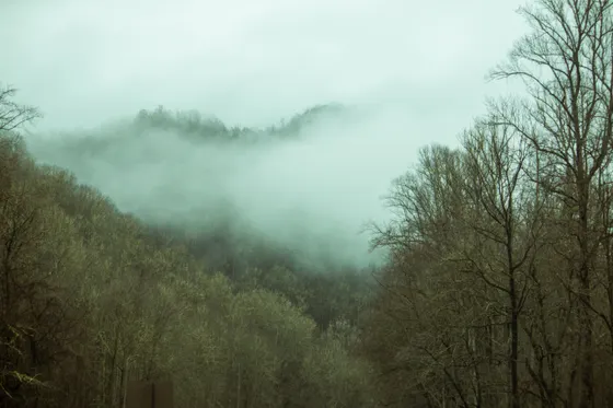
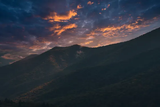
Great Smoky Mountains National Park straddles the Tennessee and North Carolina border along the crest of the Southern Appalachians, and it is the most-visited national park in the country, drawing well over 12 million people a year. The name comes from the blue, smoke-like haze that hangs over the ridgelines, and the park protects some of the largest old-growth forest left in the eastern United States along with black bears, elk, and more than 800 miles of trails.
Day 1: Newfound Gap Road, Clingmans Dome & the high country
5 stops · Day one
Day 2: Best hikes in the Smokies · Alum Cave, Mount LeConte & waterfalls
5 stops · Day two
Day 3: Cades Cove loop, Abrams Falls & wildlife
4 stops · Day three
Newfound Gap Road, Clingmans Dome & the high country
Start with the spine of the park. Newfound Gap Road (US-441) climbs about 30 miles from Gatlinburg over the crest to Cherokee, North Carolina, and it is the only road that crosses the mountains inside the park. Stop at Newfound Gap itself, the 5,046-foot pass on the state line where the Appalachian Trail crosses and the views open up in both directions.
Not the order you want? Drag a stop, or use the arrows beside it. Stops move between days too.
- Drive from
~1 hr from Knoxville · buy parking tag first · DriveMost Tennessee-side trips start in Gatlinburg, about an hour from Knoxville (TYS). Buy your Park It Forward parking tag before you go, then enter the park and start up Newfound Gap Road. Mornings bring the lowest traffic and the best chance of the famous fog lifting off the ridges.
 Newfound Gap
5,046 ft pass · state line · Appalachian Trail · ViewpointNewfound Gap is the 5,046-foot pass where Newfound Gap Road crosses the crest on the Tennessee and North Carolina state line. The Appalachian Trail crosses here and the views open up in both directions. It is the gateway to the Clingmans Dome spur road and the high country.
- Clingmans Dome (Kuwohi)
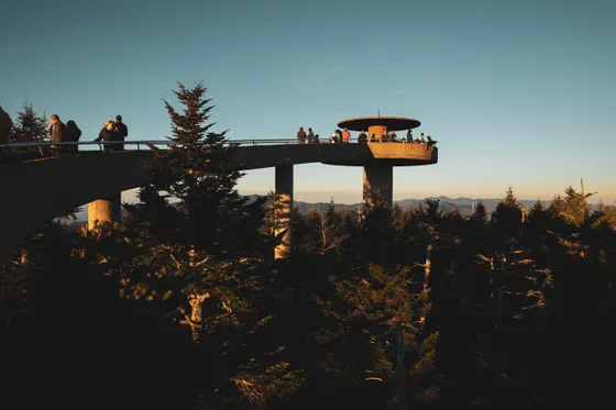
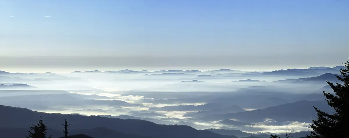
6,643 ft · ~1 mi RT paved & steep · HikeTurn up the 7-mile spur road to Clingmans Dome, the highest point in the park at 6,643 feet, sometimes referred to by its restored Cherokee name, Kuwohi. A short but steep paved path of about 1 mile round trip climbs to the spaceship-like observation tower for a 360-degree view. The spur road is closed December through March.
 Niagara66 / CC BY-SA 4.0Andrews Bald (optional)
~3.5 mi RT · grassy mountain meadow · HikeIf you have energy left at the top, the Andrews Bald trail (about 3.5 miles round trip, moderate) sets off from the Clingmans Dome area to a grassy mountain bald with wide open views. It is one of the quieter highlights in the high country and a lovely place to take in the layered ridgelines.
- Stay in Gatlinburg
Gateway town · base for the Tennessee side · lodgeBase in Gatlinburg, the busy gateway town at the Tennessee-side entrance, close to Newfound Gap Road, the Alum Cave trailhead, and the Roaring Fork waterfalls. Pigeon Forge and quieter Townsend are nearby alternatives. Reserve early, especially for October fall-color weekends.
Best hikes in the Smokies · Alum Cave, Mount LeConte & waterfalls
This is the big hiking day. The Alum Cave Trail is the most popular route up to Mount LeConte, passing Arch Rock and the dramatic Alum Cave Bluffs. Turning around at the bluffs makes a rewarding hike of about 4.6 miles round trip; continuing all the way to the summit and lodge on top of Mount LeConte is roughly 11 miles round trip and strenuous, one of the signature hikes in the park.
Not the order you want? Drag a stop, or use the arrows beside it. Stops move between days too.
- Alum Cave Trail to the bluffs
~4.6 mi RT · Arch Rock & Alum Cave Bluffs · HikeThe Alum Cave Trail is the most popular route toward Mount LeConte, passing Arch Rock and the dramatic Alum Cave Bluffs. Turning around at the bluffs makes a rewarding hike of about 4.6 miles round trip. The small trailhead lot fills very early on busy days, so arrive at first light.
 Roller Coaster Philoso / CC BY 2.0Mount LeConte (optional, full hike)
~11 mi RT · strenuous · summit & lodge · HikeContinuing all the way up the Alum Cave Trail to the summit and lodge on Mount LeConte is roughly 11 miles round trip and strenuous, one of the signature hikes in the park. Start early, carry plenty of water, and turn around in time to be off the mountain well before dark.
 Laurel Falls
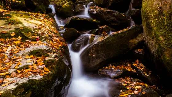
~2.6 mi RT · paved & very popular · HikeLaurel Falls (about 2.6 miles round trip, paved) is one of the most popular short hikes in the Smokies, ending at a pretty multi-tier waterfall. The paved trail makes it family-friendly, but the small lot fills fast, so go early or late and watch your footing on the wet rock near the falls.
- Grotto Falls
~2.6 mi RT · walk behind the falls · HikeGrotto Falls (about 2.6 miles round trip) is reached off the Roaring Fork Motor Nature Trail, a narrow one-way loop closed in winter and to large vehicles. The payoff is a trail that walks right behind the falls, the only one in the park where you can do that.
- Second night in Gatlinburg
Stay put for dawn trailheads · lodgeStay a second night in Gatlinburg so you can be at the Alum Cave trailhead at dawn before the lot fills. Keeping the same base means no packing up between your two biggest days, and it puts the waterfall trailheads within an easy drive.
Cades Cove loop, Abrams Falls & wildlife
Spend your last day in Cades Cove, a broad mountain valley ringed by peaks and the best place in the park to see wildlife. An 11-mile, one-way scenic loop road circles the cove past historic cabins, churches, and a working grist mill, and it is famous for black bears, white-tailed deer, and wild turkey, especially in the early morning and evening. On some days the loop opens vehicle-free for walkers and cyclists, so check the current schedule.
Not the order you want? Drag a stop, or use the arrows beside it. Stops move between days too.
- Cades Cove Loop Road
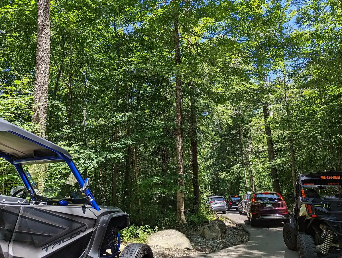
11 mi one-way loop · bears & cabins · DriveCades Cove is a broad mountain valley circled by an 11-mile, one-way scenic loop road past historic cabins, churches, and a grist mill. It is the best place in the park for wildlife, especially black bears, deer, and wild turkey at dawn and dusk. Traffic backs up badly by mid-morning, so drive it early.
 Lee Ann Ratledge / CC BY 4.0Abrams Falls
~5 mi RT · wide waterfall & deep pool · HikeFrom the far side of the Cades Cove loop, hike to Abrams Falls (about 5 miles round trip, moderate), a wide and powerful waterfall with a large, deep pool. The current at the base is strong, so admire it from the bank rather than swimming below the falls.
 Cataloochee Valley (optional)
NC side · reintroduced elk herd · ViewpointIf you have time and want to see elk, drive over to Cataloochee Valley on the quieter North Carolina side, where a reintroduced herd grazes the open fields at dawn and dusk. The access road is winding and partly gravel, so allow extra time and keep at least 50 yards from the animals.
 Getting home: Knoxville or Asheville
TYS ~1 hr · AVL nearest the NC side · DriveKnoxville (TYS) is about an hour from the Townsend or Gatlinburg side of the park and is the easiest airport for a Tennessee-based trip. Asheville (AVL) is the closest airport to the North Carolina side near Cherokee and Cataloochee. Pick your departure airport to match where you spent your last day.
Book the 2 nights
Beds near the trailheads are the one thing on this trip that genuinely runs out. Everything else can be decided later.
Tell us your dates and we will do the calling. We check every booking site, put your points and card perks against the cash price, and email you this plan back with the best room we can find for each night. Nothing is charged and you decide at the end.
Request to bookWhat to pack for Great Smoky Mountains
Built from this route, not a generic list. Every line says why it is here.
On every day of this trip
On your feet
Because you are sleeping indoors
For the driving days
Specific to Great Smoky Mountains
What we actually learned in the Smokies.
Entry is free, but buy a parking tag
The Great Smoky Mountains charges no entrance fee, but under the Park It Forward program you need a paid parking tag to park anywhere in the park for more than 15 minutes. Tags come in daily, weekly, and annual options and are sold online and at visitor centers. Buy one before you go.
Start early to beat the traffic
This is the most-visited national park in the country, and Newfound Gap Road, the waterfall lots, and the Cades Cove loop all clog up by mid-morning. Hit your first stop at or before dawn, and you will also catch the best fog and wildlife.
LeConte Lodge books a year ahead
LeConte Lodge is the only lodging inside the park and is hike-in only, with no road access, perched near the top of Mount LeConte. It books up roughly a year in advance through lecontelodge.com. Everyone else stays in a gateway town and drives in.
October and spring are the prime seasons
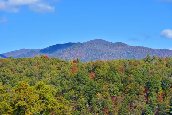
October brings the famous fall color but also the heaviest crowds and slowest traffic of the year. Spring delivers a long, spectacular wildflower bloom with thinner crowds. Summer is green and humid; winter is quiet but closes the high Clingmans Dome road.
Give wildlife plenty of room
Black bears and, on the North Carolina side, elk are a highlight, especially in Cades Cove and Cataloochee. Stay at least 50 yards back, never feed them, and keep food secured. Approaching or feeding wildlife is dangerous and illegal in the park.
Pick a base on the right side of the park
Gatlinburg, Pigeon Forge, and Townsend sit on the busy Tennessee side near Clingmans Dome and Cades Cove. Cherokee and Bryson City on the North Carolina side are quieter and closer to Cataloochee. Knoxville (TYS) and Asheville (AVL) are the nearest airports.
Ride Cades Cove car-free on select mornings
On select summer and shoulder-season mornings the 11-mile Cades Cove loop closes to vehicles for walkers and cyclists. Check the current schedule and the bulletin board at the campground store, and if it lines up you can rent a bike in nearby Townsend and pedal the empty loop with the bears and deer instead of sitting in the bear-jam traffic.
Everything you'll actually want to know.
Memphis to Great Smoky Mountains: the questions people ask most.
The best hikes in the Smoky Mountains include the Alum Cave Trail (about 4.6 miles round trip to the bluffs, or about 11 miles round trip all the way up Mount LeConte), the short paved walk to the Clingmans Dome observation tower (about 1 mile round trip at the highest point in the park), and several waterfall hikes: Laurel Falls (about 2.6 miles), Grotto Falls (about 2.6 miles, where the trail goes behind the falls), Rainbow Falls (about 5.4 miles), and Abrams Falls (about 5 miles) off the Cades Cove loop. Andrews Bald (about 3.5 miles) is a quieter favorite to a grassy mountain meadow.
We'll find the cheapest way to do this trip.
Tell us your dates and we price the plan you just built: every booking site, the hotels direct, and your own points and card perks against the cash price. You get it back by email with a link for each night and what it saved you.
- It is free. The hotel pays us, not you. You pay their normal price.
- Nothing is charged and nothing is held. You decide at the end, or you walk away.
- Beds near trailheads are the part that runs out. Everything else can wait.
The figures below are estimates from local nightly rates, so you know the ballpark before you ask. The real number comes back once we have checked what is free.
- 2 nights, sites along the route
2 × $22$44
- 2 nights, rooms along the route
from $68 a nightfrom $136
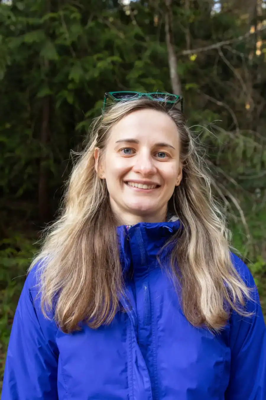 Yulia, ExplorOFF founder★★★★★5.0 from 20+ guided tripsGoogleAirbnbFrom$2,1002 people, 2 nights
- Everything in Glamped, plus a local guide
- Airport pickup, every drive, all the gear
- Weather turns, they rewrite the day
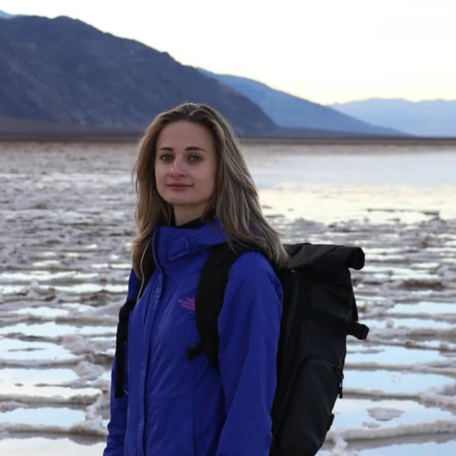
Written and walked by Yulia Vasilyeva · Co-founder · Lead planner and guide
Three years leading guided hikes in the Pacific Northwest, rated 5.0 by 20+ verified guests, and she builds every custom itinerary herself. Based in Seattle.
Booking Great Smoky Mountains
Everything below is booked with the operators direct. We earn a commission on some of them, which is what keeps the itineraries free to read.
Top rated near Great Smoky Mountains
 3-Hour Nantahala River Fully Guided Rafting Experience4.9 on Viator · 197 reviews
 Chasing Waterfalls: A Smoky Mountain Guided Hike4.9 on Viator · 169 reviews
 Self-Guided Audio Driving Tour in Great Smoky Mountains4.7 on Viator · 132 reviews
You might also love these
More itineraries and hiking guides across the parks.
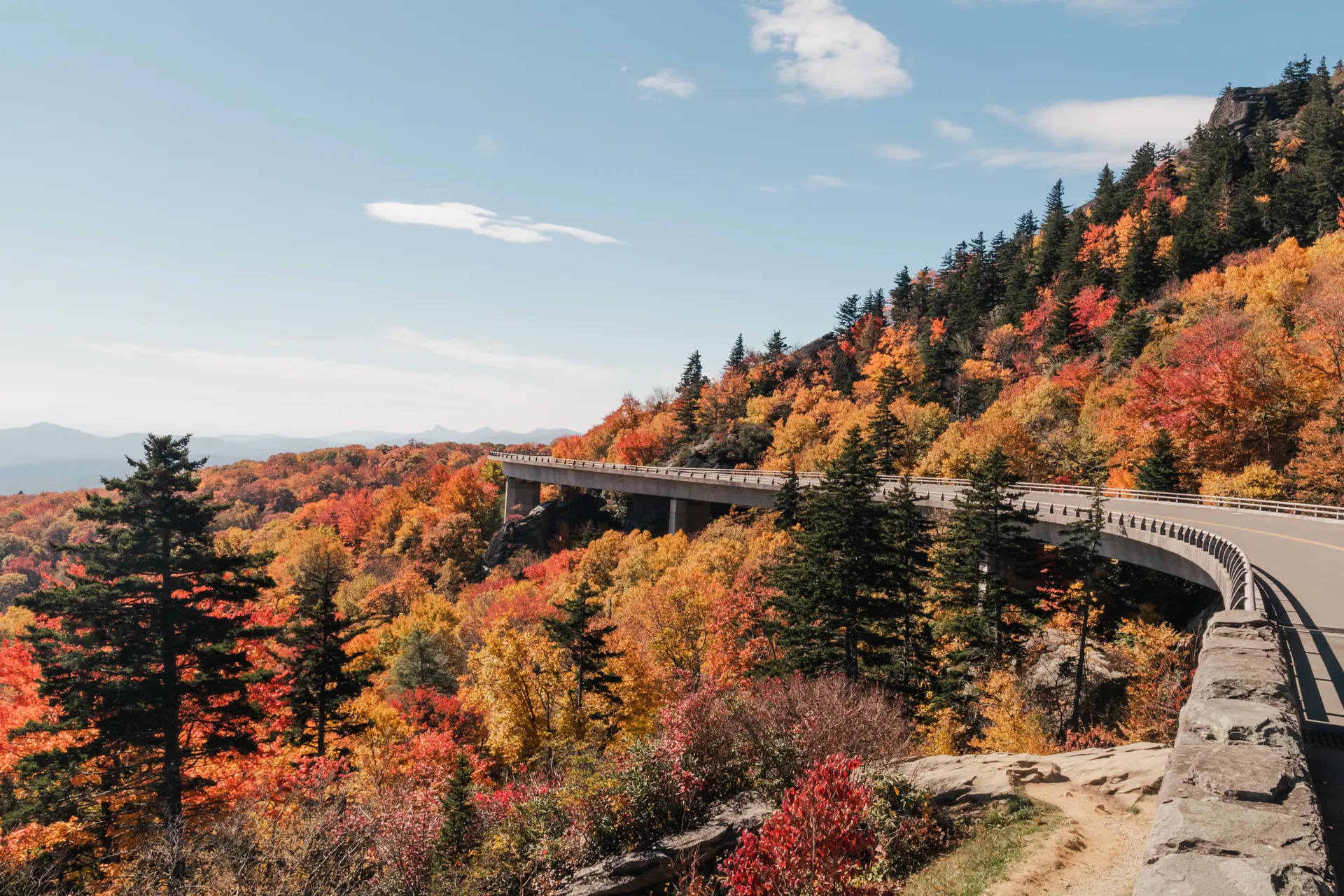
Blue Ridge Parkway
The 469-mile scenic drive linking the Smokies to Shenandoah, with the best overlooks, hikes, and fall color stops.
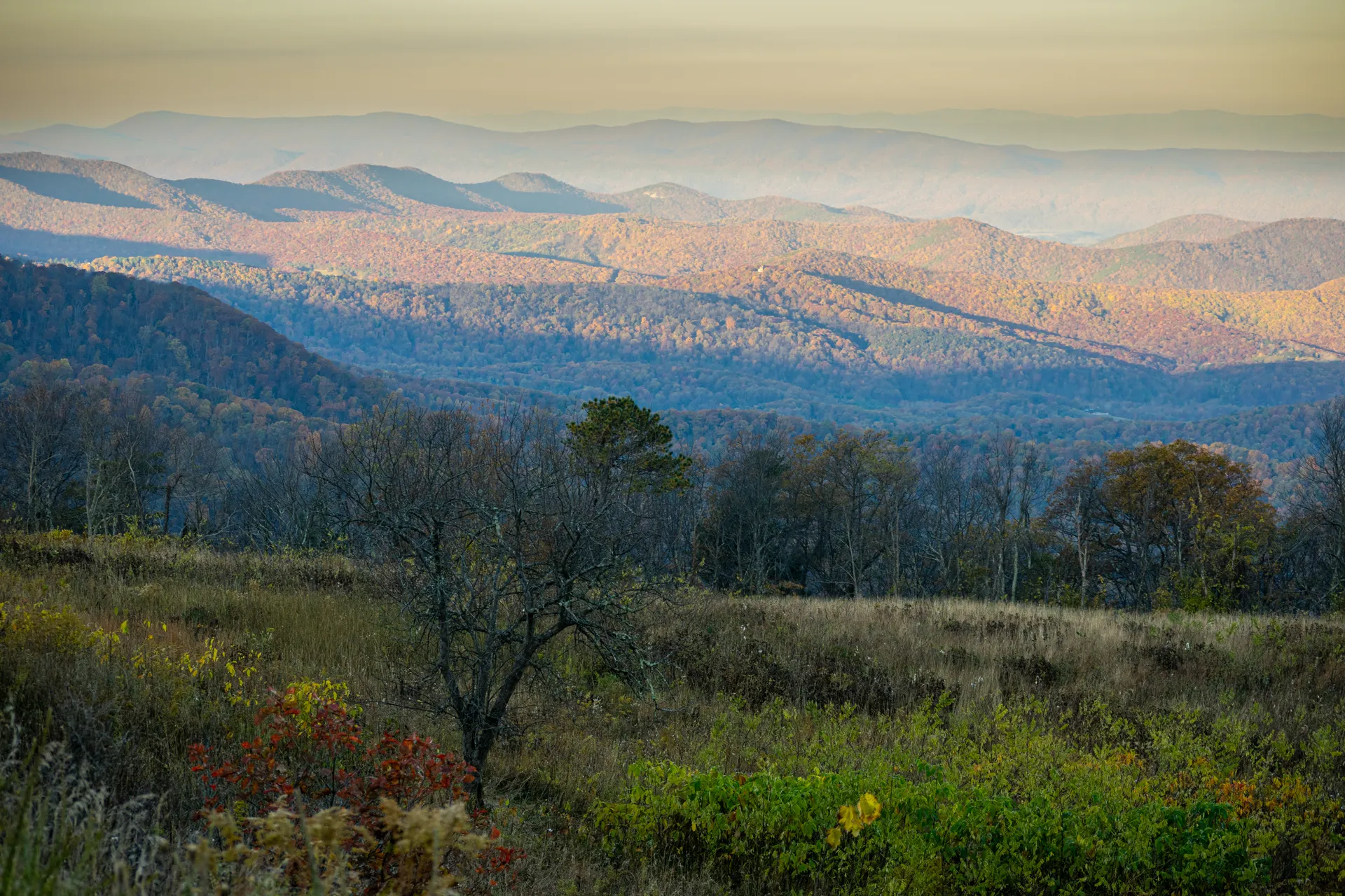
Shenandoah National Park
Skyline Drive, the best Blue Ridge hikes, waterfalls, and overlooks in Virginia's long, narrow mountain park.
Nantahala National Forest Hiking
Whitewater gorges, towering waterfalls, and the best hikes in the rugged forest just south of the Smokies.
What adventurers say about us.
All reviews are from verified guests. ★★★★★ 5.0 average from 20+ bookings.
"Felt like going out with a really knowledgeable friend who just happens to know everything about the area. No awkward tour-guide energy, just a magnificent day."
"Yulia is an incredible guide. She knew every trail, every viewpoint, and exactly how to pace the day for our group. The photos she took of us were stunning. 100% booking again."
"I was visiting Seattle solo and this was the best decision I made on the trip. Yulia picked me up, had snacks, and took us to a trail I never would have found on my own. Absolute must-do."
"We did this as a couple's trip and it was perfect. Yulia adapted everything to us, our pace, our interests, our photo obsession. The mountain views were unreal."
"Phenomenal experience. Yulia has deep local knowledge and a real passion for the outdoors. She went out of her way to show us the hidden gems tourists never see. Will remember this forever."
"I've done a few guided hikes and this was by far the best. Yulia is warm, funny, and genuinely expert. The trail she chose had the most insane wildflower bloom, we got so lucky."
Fees, reservation windows, shuttle dates and trail closures are planning estimates. Confirm hours, road status and any reservations with the land manager before you go.
What other travelers are saying
Be the first to leave a tip or question for the next traveler.
Was this helpful?
One tap. It goes straight to Yulia and Margarita.
You can't hike it if you can't get the permit.
The best hikes in America run on lotteries that open once a year and sell out in minutes. Every trail runs on its own calendar. Pick the ones you want and we do the watching.
 Denali Road LotteryDenali NP · AKActivityReservationfair odds
 El Tovar HotelGrand Canyon South Rim · ArizonaLodgeReservationbrutal odds
 Grand Canyon BackcountryGrand Canyon NP · ArizonaBackcountryReservationfair odds
 Grand Canyon raftingColorado River · ArizonaActivityLotterybrutal odds
 Havasu FallsHavasu Canyon · ArizonaLodgeReservationbrutal odds
 Phantom RanchGrand Canyon NP · ArizonaLodgeLotterybrutal odds
 The WaveCoyote Buttes North · Arizona / UtahPermitLotterybrutal odds
 Half Dome CablesYosemite NP · CaliforniaPermitOpens Mar 1fair odds
 Lost Coast TrailKing Range NCA · CaliforniaBackcountryReservationtough odds
 Mt. WhitneyInyo NF · CaliforniaPermitOpens Feb 1tough odds
- The Ahwahnee, YosemiteYosemite NP · CaliforniaLodgeReservationbrutal odds
 Conundrum Hot SpringsMaroon Bells-Snowmass · ColoradoBackcountryOpens Feb 15brutal odds
 Kalalau TrailNa Pali Coast SWP · HIBackcountryReservationbrutal odds
 Glacier NP BackcountryGlacier NP · MontanaBackcountryLotterytough odds
 Lake McDonald LodgeGlacier NP · MontanaLodgeReservationbrutal odds
 Many Glacier HotelGlacier NP · MontanaLodgeReservationbrutal odds
 Sperry & Granite Park ChaletsGlacier NP · MontanaLodgeReservationbrutal odds
 Crater Lake LodgeCrater Lake NP · ORLodgeReservationbrutal odds
 LeConte LodgeGreat Smoky Mountains NP · TNLodgeOpens Oct 1brutal odds
 Angels LandingZion NP · UtahPermitLotterytough odds
 The Narrows Through-HikeZion NP · UtahBackcountryReservationtough odds
 The SubwayZion NP · UtahPermitLotterytough odds
- Zion LodgeZion Canyon · UtahLodgeReservationbrutal odds
 Mount St. Helens Summit ClimbGifford Pinchot NF · WashingtonPermitReservationtough odds
 Paradise InnMount Rainier NP · WashingtonLodgeReservationbrutal odds
 The EnchantmentsAlpine Lakes Wilderness · WashingtonBackcountryOpens Feb 15brutal odds
- Wonderland TrailMount Rainier NP · WashingtonBackcountryLotterybrutal odds
- Cougar Rock CampgroundWashington · WashingtonBackcountryOpens Jan 15tough odds
 Old Faithful InnYellowstone NP · WYLodgeReservationbrutal odds
How it works
- An email the morning each window opens, never the day after.
- A 14-day heads-up so you can line up your group and dates.
- Win odds and a ranked backup plan for every trail you pick.
Didn't win? We keep watching. We check recreation.gov every day for The Enchantments, Half Dome and Angels Landing, and email you the moment a sold-out date frees up. Cancellations are the second chance most people never hear about.
“I’ve requested to book a Chain Lakes Loop guide on ExplorOFF, and it was the best idea ever! I highly recommend going with their guided option since you get a real human connection on the trail and don’t have to worry about a thing. Yulia was great to talk to!”