Gorges, Balds & Waterfalls:
3 Days Hiking the Nantahala
Three days of Nantahala National Forest hiking: Whitewater Falls, the deep Nantahala Gorge and a river day, Wesser Bald and Wayah Bald lookout towers on the Appalachian Trail, Whiteside Mountain, and Panthertown Valley.
Free interactive planner · drag & reorder your days, add stops, map it in minutes
Build your own Nantahala trip, drag, reorder & map it.
Drag stops between days, swap hikes, and add your own waterfalls and overlooks with the place search. The live map and drive times recalculate as you go, so you can see exactly how the winding mountain roads link the gorge, the balds, and the Highlands waterfalls.
Opens a side panel · reorder days, add custom stops, see your route live
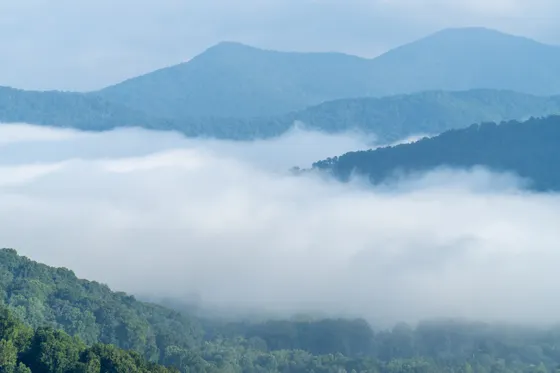
One forest, deep gorges, balds & waterfalls, in western North Carolina.
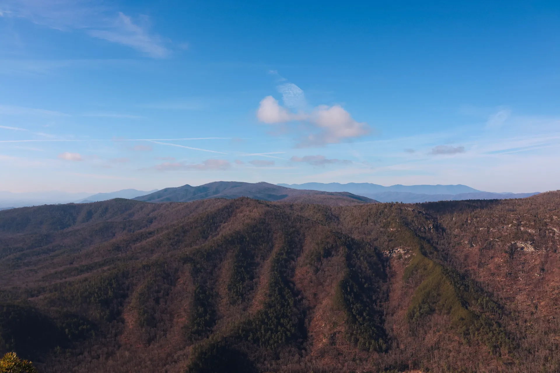
The Nantahala National Forest covers more than half a million acres of the rugged, lush mountains of southwestern North Carolina. The name comes from a Cherokee word meaning land of the noonday sun, because some of its gorges are so deep and steep that sunlight only reaches the river around midday. It is a forest of whitewater rivers, big cliffs, drive-up lookout towers, and some of the highest waterfalls in the eastern United States.
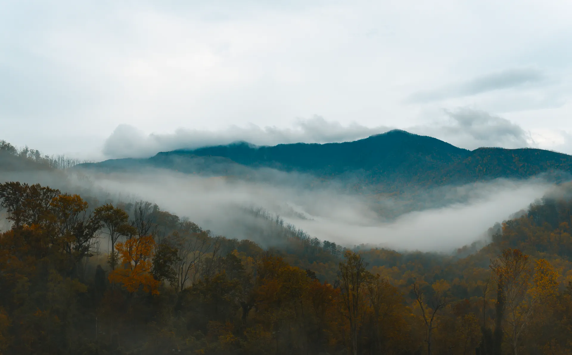
This 3-day route is built around Nantahala National Forest hiking: Whitewater Falls plunging 411 feet, the deep Nantahala Gorge with a river day on the Nantahala, the Wesser Bald and Wayah Bald lookout towers on the Appalachian Trail, Whiteside Mountain's clifftop loop, and Panthertown Valley, the so-called Yosemite of the East. You will base out of Bryson City, Franklin, and Highlands as you work the forest from the gorge to the high country.
Spring and fall are the best seasons. Spring brings wildflowers and the famous rhododendron and mountain laurel blooms, while October paints the slopes in fall color. Summers are warm and humid with afternoon thunderstorms, and black bears live throughout the forest, so store food properly and keep your distance.
Bryson City and the Nantahala Gorge lodges fill fast on summer weekends and during peak fall color in October, so book early. Guided rafting on the Nantahala River also sells out on busy weekends. The mountain roads are slow and winding, cell service is patchy in the gorge, so download offline maps before you set out.


The Nantahala Gorge · a river day & Wesser Bald
Base in Bryson City, the friendly gateway town on the northern edge of the forest, about 1.5 hours from Asheville (AVL). Head into the Nantahala Gorge, a deep, shaded canyon where the Nantahala River runs cold and fast between steep walls so close that the noonday sun barely reaches the water. The Nantahala Outdoor Center (NOC) sits right on the river and is the hub for the gorge.
Spend the morning on the water with a guided whitewater rafting trip on the Nantahala River, a classic Class II to III run that is one of the most popular in the Southeast and friendly for first-timers. In the afternoon, hike a stretch of the Appalachian Trail to Wesser Bald and climb the lookout tower, which gives a sweeping 360-degree view over the surrounding ridges and the gorge you just paddled.
- Class II–III · guided trips at the NOC · friendly for first-timers
- Appalachian Trail climb · 360-degree tower view over the gorge
- Nantahala Outdoor Center (NOC)River hub in the gorge · outfitters, food, and trail access
- Stay in Bryson CityGateway town · easy reach to the gorge and the Smokies
- The Nantahala River is dam-released and cold year round, so even in summer wear or rent a splash layer for the rafting trip.
- Guided rafting at the Nantahala Outdoor Center sells out on busy summer weekends, so reserve your trip in advance.
- The Wesser Bald tower is reached by a stretch of the Appalachian Trail, so check the route and carry water for the climb up to the views.


Franklin & the balds · Wayah Bald and the Appalachian Trail
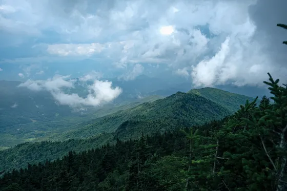
Move your base south to Franklin, a hub for the southern Appalachians and a well-known stop for Appalachian Trail thru-hikers. From here, drive the winding forest road up to Wayah Bald, where a historic stone lookout tower sits right on the Appalachian Trail at over 5,300 feet, with long views across the Nantahala and Great Smoky Mountains. The short walk from the parking area to the tower makes this one of the easiest big-view summits in the forest.
Stretch your legs on more of the Appalachian Trail near Standing Indian, a high, rounded summit and a beloved section of the AT with grassy slopes and spring wildflowers. If you would rather chase water, detour to Cliffside Lake for an easy loop and a swim. This is rhododendron and mountain laurel country, so late spring brings tunnels of bloom along the trails.
- Drive-up · over 5,300 ft · stone tower on the Appalachian Trail
- High AT summit · grassy slopes · spring wildflowers
- Easy lake loop · swimming · day-use area
- Stay in FranklinAppalachian Trail town · central base for the balds
- The forest road up to Wayah Bald is narrow and winding, so allow extra time and drive slowly, especially in fog.
- Wayah Bald and Standing Indian both sit on the Appalachian Trail, so expect to share the path with thru-hikers in spring.
- For peak rhododendron and mountain laurel, aim for late May into June, when the high balds are at their best.
Highlands · Whiteside Mountain, Panthertown & the waterfalls
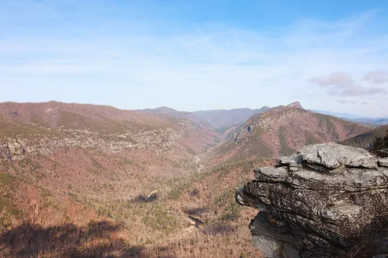
Finish in the high country around Highlands, the forest's elegant mountain town and a base for cliffs and waterfalls. Hike the Whiteside Mountain Trail, a roughly 2-mile loop along the rim of some of the highest sheer cliffs in the eastern United States, with airy drop-off views and, in spring, peregrine falcons nesting on the walls. It is the signature short hike of the area.
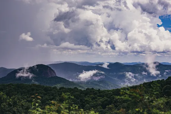
On the drive between Highlands and Franklin, stop at two roadside waterfalls you can walk behind: Dry Falls, where a paved path leads under the overhang and behind the curtain of water, and Bridal Veil Falls, where the old road actually passes beneath the falls. With more time, head into Panthertown Valley, nicknamed the Yosemite of the East for its granite domes, to hike to Schoolhouse Falls. Getting home: from Highlands it is roughly 2 hours back to Asheville (AVL) or about 2.5 hours to Atlanta.
- ~2 mi loop · clifftop rim views · peregrine falcons in spring
- Roadside falls near Highlands · walk behind the water
- Yosemite of the East · granite domes · waterfall hike
- Getting home: Asheville or AtlantaAVL ~2 hr · Atlanta ~2.5 hr · winding mountain drive out
- Whiteside Mountain has steep, exposed cliff edges, so keep children and dogs close and stay back from the rim, especially in wind.
- Dry Falls and Bridal Veil Falls are right on US 64 between Highlands and Franklin, making them easy quick stops on the drive.
- Panthertown Valley trails are rugged and poorly signed, so carry a good map or download offline navigation before you hike to Schoolhouse Falls.
Now build your Nantahala trip.
You've seen all three days. Open the free drag-and-drop planner and tune it for your dates, your pace, and whether you base in Bryson City, Franklin, or Highlands.
What we actually learned in the forest.
Plan for slow, winding roads
The Nantahala is mountain country, and the roads between the gorge, the balds, and Highlands are slow, narrow, and curvy. Distances look short on a map but take far longer to drive, so build in extra time and do not plan tight back-to-back stops.
The Nantahala River runs cold
The Nantahala is a dam-released river and stays cold year round, even in midsummer. If you raft or kayak the gorge, wear or rent a splash top, and book guided trips ahead on summer weekends when they sell out.
Go in spring or fall
Spring brings wildflowers and the famous rhododendron and mountain laurel bloom, while October lights up the slopes with fall color. Summers are warm, humid, and prone to afternoon thunderstorms, so start hikes early and watch the sky.
This is black bear country
Black bears live throughout the Nantahala National Forest. Store food and trash securely, never feed wildlife, and keep your distance. Make noise on quiet trails so you do not surprise a bear, especially in berry season.
Mind the cliffs and waterfalls
Whiteside Mountain has sheer, exposed drop-offs, and the rocks around the waterfalls are slick. Stay back from cliff edges, keep off wet rock above falls, and watch children and dogs closely at every overlook.
Pick a base for each stretch
Bryson City is best for the gorge and rafting, Franklin is central for the balds and the Appalachian Trail, and Highlands sits among the cliffs and waterfalls. Splitting your nights cuts down on the slow mountain driving between regions.
Everything you'll actually want to know.
Ready to go? Get your
Nantahala hiking route.
Trailheads and lookout towers, the Nantahala Gorge river day, the best waterfalls near Highlands, drive times from Asheville and Atlanta, and the right base town for each stretch of the forest.
Instant book · Free cancellation · Secure payment via Stripe

Planning this trip?
Save it, share it with your crew, or find travelers heading the same way.

Liked this itinerary?
What other travelers are saying
Be the first to leave a tip or question for the next traveler.