Three Cool-Season Days Hiking Death Valley
The hottest place on Earth, finally cool enough to hike, in winter.
Three days hiking Death Valley in winter, the only season cool enough to walk it: Badwater Basin salt flats, Golden Canyon to Red Cathedral, the Mesquite Dunes, Mosaic Canyon narrows, and the Dantes View overlook.
“I’ve requested to book a Chain Lakes Loop guide on ExplorOFF, and it was the best idea ever! I highly recommend going with their guided option since you get a real human connection on the trail and don’t have to worry about a thing. Yulia was great to talk to!”




 14 stops on a real mapEvery stop pinned in order→
Every stop is a real pin, in order.
Badwater Basin, Golden Canyon & the Mesquite Dunes · Eastern California
Every stop on this trip, in order, opens as one driving route in the Google Maps app. No copying addresses across one at a time.
5 of the stops on these 3 days.



Plan and book your 3 days in Death Valley, one step at a time
How 3 days in Death Valley split up
Death Valley National Park is the hottest place on Earth, where the air temperature once hit 134°F and summer ground readings can climb far higher. In summer this is a genuinely deadly place to hike, which is exactly why November through March is the only season you should plan to walk it. In winter the valley floor runs comfortable by day, the high country wears snow, and the salt flats, canyons, and dunes are finally yours to explore on foot.
Day 1: Drive in, Badwater Basin & Artists Drive
5 stops · Day one
Day 2: Golden Canyon to Red Cathedral & Zabriskie sunrise
4 stops · Day two
Day 3: Mesquite Dunes sunrise, Mosaic Canyon & Dantes View
5 stops · Day three
Drive in, Badwater Basin & Artists Drive
It is about a 2-hour drive from Las Vegas (LAS) into Death Valley, so leave with a full tank and stop for gas at Furnace Creek or Stovepipe Wells once inside the park, because those are the only fuel stations and the next pump can be an hour away. Cell service is nearly nonexistent, so download offline maps before you lose signal, and grab water and snacks while you still can.
Not the order you want? Drag a stop, or use the arrows beside it. Stops move between days too.
 Drive from
~2 hr · fuel up first · DriveIt is about a 2-hour drive from Las Vegas (LAS) into Death Valley. Leave with a full tank, download offline maps before you lose signal, and plan to fill up again at Furnace Creek or Stovepipe Wells, the only fuel inside the park. Cell service is nearly nonexistent across the park.
- Badwater Basin salt flats
-282 ft · lowest point in North America · HikeWalk out onto the salt flats at Badwater Basin, at 282 feet below sea level the lowest point in North America. A boardwalk gives way to a vast crust of white salt polygons stretching toward the Panamint Range. It is flat and easy, but reflects a lot of sun, so carry water even in winter.
 Artists Drive & Artists Palette
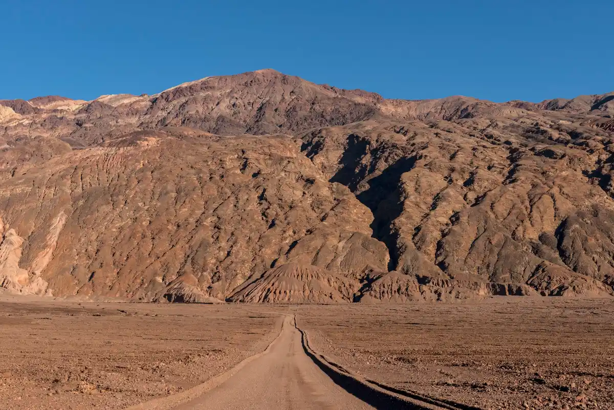
~9 mi one-way · colored hills · ViewpointLoop back north on the one-way Artists Drive, a 9-mile scenic road to Artists Palette, where mineral-streaked hills glow pink, green, and gold in late-afternoon light. The road is one-way and not suited to long RVs or trailers, and it is best saved for the warm light of late day.
 Natural Bridge
~1 mi RT · easy · rock arch · HikeIf you have time before sunset, walk the short Natural Bridge trail, about 1 mile round trip, up a gravel canyon to a large rock arch spanning the wash. It is an easy leg-stretcher off the Badwater Road and a good way to round out the afternoon before checking in.
 dconvertini / CC BY-SA 2.0Stay at Furnace Creek
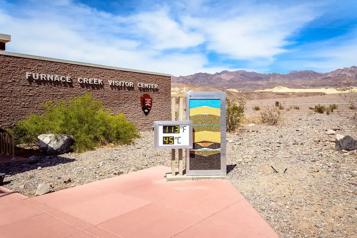
The Inn / The Ranch · in-park · lodgeBase at Furnace Creek inside the park, where The Inn and The Ranch at Death Valley put you closest to the trailheads and the sunrise spots. They book far ahead for prime winter weekends, so reserve early. If they are full, the Stovepipe Wells Village Hotel or off-park towns like Pahrump and Beatty are the alternatives.
Golden Canyon to Red Cathedral & Zabriskie sunrise
Set an alarm for the best moment in the park. Drive up to Zabriskie Point for sunrise, when first light sets the eroded golden badlands on fire below the viewpoint, one of the most photographed scenes in the American desert. It is a two-minute walk from the parking lot, so it is an easy win before a bigger hiking day.
Not the order you want? Drag a stop, or use the arrows beside it. Stops move between days too.
- Zabriskie Point at sunrise
Two-minute walk · golden badlands · ViewpointDrive up to Zabriskie Point for sunrise, when first light sets the eroded golden badlands on fire below the viewpoint, one of the most photographed scenes in the American desert. It is a two-minute walk from the parking lot, but the lot is small, so arrive in the dark to claim a spot.
- Golden Canyon to Red Cathedral
~3 mi RT · moderate · HikeTake on the best hike in this part of the park: the Golden Canyon to Red Cathedral trail, about 3 miles round trip, winding up a narrow golden-walled canyon to the dramatic red rock amphitheater of Red Cathedral. There is no water on the trail, so carry plenty and start in the cool of the morning.
 Golden Canyon / Gower Gulch loop
~4.3 mi loop · extends the hike · HikeFor a fuller morning, extend into the Golden Canyon / Gower Gulch loop, about 4.3 miles, which links Red Cathedral back through a second canyon below Zabriskie Point. It adds desert variety and badlands views without backtracking, and is best done before the canyon warms up.
 David Balmer / CC BY 3.0Second night at Furnace Creek
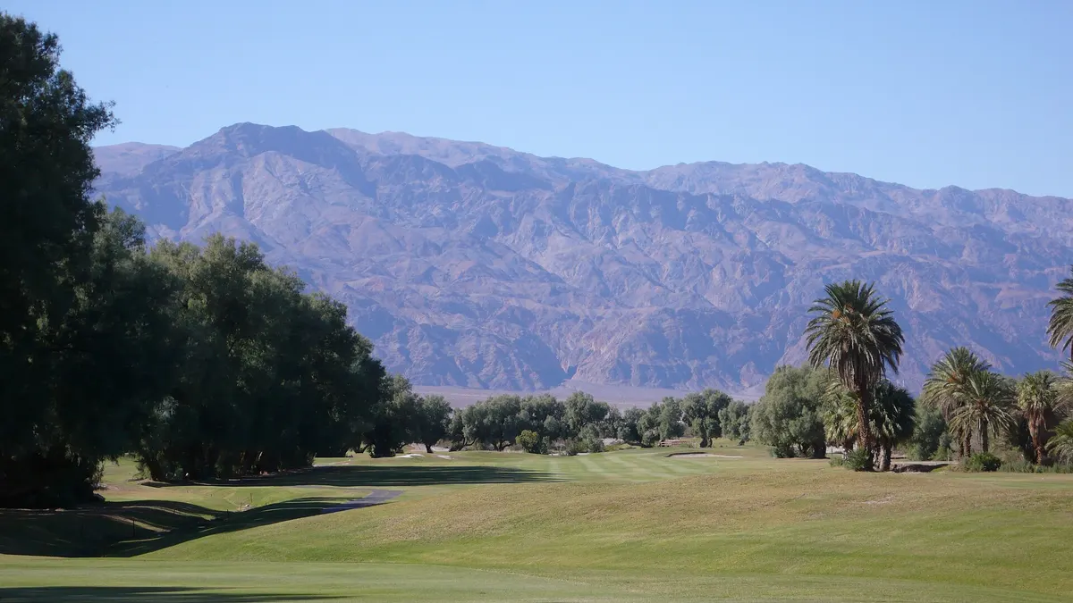
Stay put for dawn trailheads · lodgeStay a second night at Furnace Creek so you can be at the Zabriskie Point overlook and the Golden Canyon trailhead at dawn, before the lots fill and the light fades. Keeping the same base means no packing up between two big mornings.
Mesquite Dunes sunrise, Mosaic Canyon & Dantes View
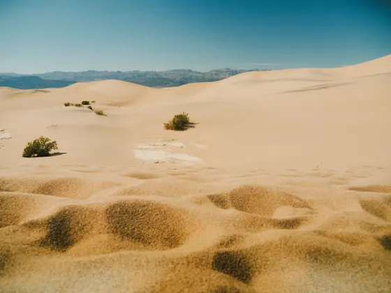
On your last morning, head to the Mesquite Flat Sand Dunes near Stovepipe Wells for sunrise, when low light rakes across the ripples and the dunes glow gold before the day's footprints arrive. It is about a 2-mile round-trip walk out to the tallest dune and back, with no trail, so just pick a line and wander. From there it is a short drive to Mosaic Canyon, where about 3.5 miles round trip leads up through polished marble narrows so smooth they look water-carved.
Not the order you want? Drag a stop, or use the arrows beside it. Stops move between days too.
- Mesquite Flat Sand Dunes at sunrise
~2 mi RT · no trail · sunrise · HikeHead to the Mesquite Flat Sand Dunes near Stovepipe Wells for sunrise, when low light rakes across the ripples and the dunes glow gold before the day's footprints arrive. It is about a 2-mile round trip out to the tallest dune and back, with no trail, so just pick a line and wander.
 Mosaic Canyon
~3.5 mi RT · polished marble narrows · HikeA short drive from the dunes, Mosaic Canyon climbs through polished marble narrows so smooth they look water-carved, about 3.5 miles round trip. The lower narrows are the highlight, with some easy scrambling higher up. The access road is graded gravel and usually fine for most cars.
- Dantes View
5,475 ft overlook above Badwater · ViewpointFinish high at Dantes View, a 5,475-foot overlook on the crest of the Black Mountains that stares straight down more than a mile to Badwater Basin and across to the snow-dusted Panamints. It is a breathtaking way to end the trip, and far colder than the valley floor, so bring a layer.
 Optional: Telescope Peak
~14 mi RT · strenuous · often snowy · HikeStrong hikers with extra time and snow gear can take on Telescope Peak, the park's 11,049-foot high point, about 14 miles round trip and strenuous, and often snow-covered in winter. Bring traction and layers, start early, and turn around in time to be off the mountain before dark, or swap it for Ubehebe Crater and Darwin Falls.
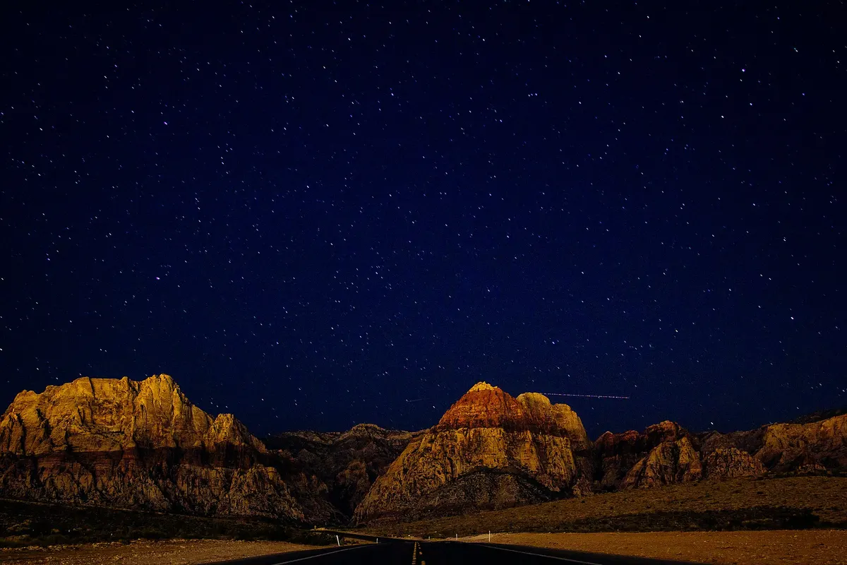 Getting home: Las Vegas
LAS ~2 hr · fuel up first · DriveFrom the park it is about 2 hours back to Las Vegas (LAS). Fill up at Furnace Creek or Stovepipe Wells before you leave, since there is no fuel on the way out, and keep your route downloaded offline because cell service stays patchy for much of the drive.
Book the 2 nights
Beds near the trailheads are the one thing on this trip that genuinely runs out. Everything else can be decided later.
Tell us your dates and we will do the calling. We check every booking site, put your points and card perks against the cash price, and email you this plan back with the best room we can find for each night. Nothing is charged and you decide at the end.
Request to bookWhat to pack for Death Valley
Built from this route, not a generic list. Every line says why it is here.
On every day of this trip
On your feet
Because you are sleeping indoors
For the driving days
Specific to Death Valley
What we actually learned in the desert.
Pay the entrance fee or bring your pass
Death Valley charges about $30 per vehicle for a 7-day pass, and there is no entrance booth, so pay at a self-serve kiosk or visitor center, or buy online ahead of time. The annual America the Beautiful pass ($80) also covers entry and pays off fast if you visit other national parks.
Hike in winter, never in summer
Death Valley is the hottest place on Earth, with summer air temperatures that have topped 134°F and ground heat far higher. Summer hiking is genuinely deadly. November through March is the only season to plan a hiking trip, when the valley floor is comfortable and the high country wears snow.
Bring far more water than you think
Even in winter the desert is brutally dry. Carry at least a gallon of water per person per day, and more on a longer hike. There is no water on the trails, and the salt flats and canyons reflect a surprising amount of sun.
Pack layers for cold and snow
Winter nights on the valley floor get cold, and the high country, including Dantes View and Telescope Peak, can be snow-covered. Bring real layers, a warm hat, and traction if you plan to go high. The temperature swing between Badwater and the peaks is enormous.
Fill up at Furnace Creek or Stovepipe Wells
Fuel inside the park is only at Furnace Creek and Stovepipe Wells, and it is pricey. Top off your tank before every long stretch and before the drive out, because the next pump can easily be an hour or more away across the desert.
Lodging is scarce, so book early
In-park stays are limited to The Inn and The Ranch at Death Valley in Furnace Creek and the Stovepipe Wells Village Hotel, all of which book up far ahead for prime winter weekends. If they are full, base off-park in Pahrump or Beatty, Nevada, and drive in.
Everything you'll actually want to know.
Death Valley winter hiking: the questions people ask most.
Yes. Death Valley is the hottest place on Earth, and summer hiking is genuinely deadly, with air temperatures that have topped 134°F. November through March is the only season to plan a hiking trip, when the valley floor runs comfortable by day, the nights are cold, and the high country wears snow. Hiking Death Valley in winter is the way to actually walk the salt flats, canyons, and dunes safely.
We'll find the cheapest way to do this trip.
Tell us your dates and we price the plan you just built: every booking site, the hotels direct, and your own points and card perks against the cash price. You get it back by email with a link for each night and what it saved you.
- It is free. The hotel pays us, not you. You pay their normal price.
- Nothing is charged and nothing is held. You decide at the end, or you walk away.
- Beds near trailheads are the part that runs out. Everything else can wait.
The figures below are estimates from local nightly rates, so you know the ballpark before you ask. The real number comes back once we have checked what is free.
- 2 nights, sites along the route
2 × $22$44
- 2 nights, rooms along the route
from $151 a nightfrom $302
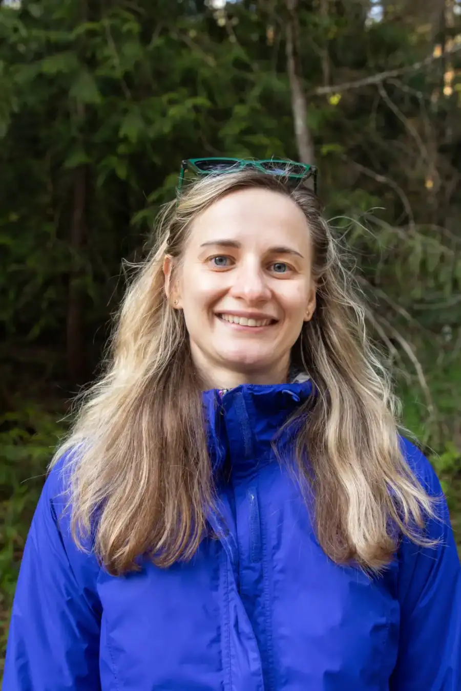 Yulia, ExplorOFF founder★★★★★5.0 from 20+ guided tripsGoogleAirbnbFrom$2,2602 people, 2 nights
- Everything in Glamped, plus a local guide
- Airport pickup, every drive, all the gear
- Weather turns, they rewrite the day
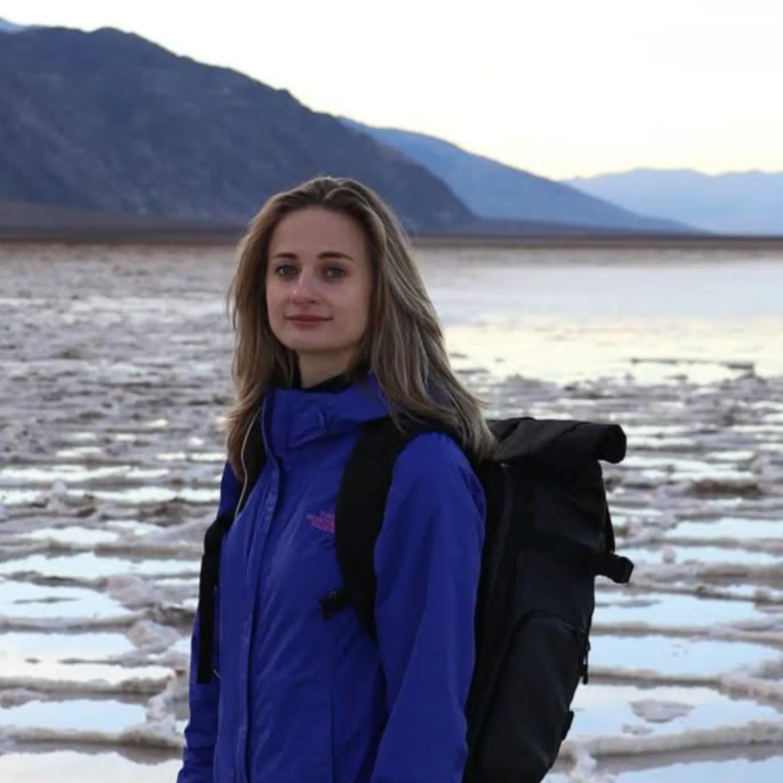
Written and walked by Yulia Vasilyeva · Co-founder · Lead planner and guide
Three years leading guided hikes in the Pacific Northwest, rated 5.0 by 20+ verified guests, and she builds every custom itinerary herself. Based in Seattle.
Booking Death Valley
Everything below is booked with the operators direct. We earn a commission on some of them, which is what keeps the itineraries free to read.
You might also love these
More itineraries and hiking guides across the parks.

Things to Do in Joshua Tree
Boulder scrambles, desert sunsets, and the best easy hikes and stargazing in the high Mojave.

Las Vegas to Zion National Park
The classic road trip from the Strip to Zion's canyons, with the best stops and hikes along the way.
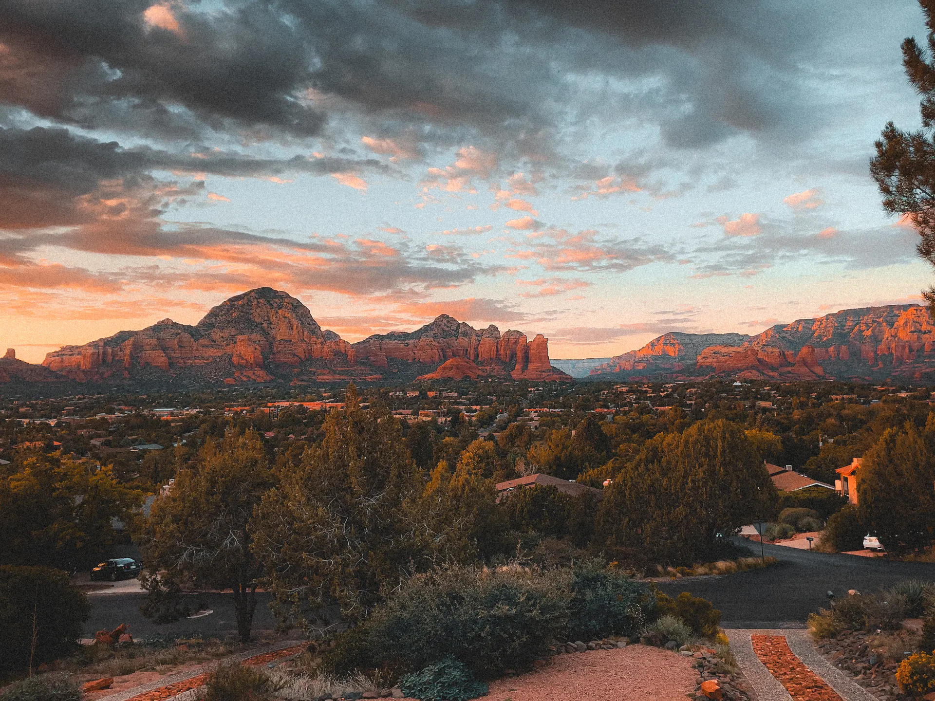
Sedona Hiking
Red rock vortex trails, Cathedral Rock, and the best day hikes in Arizona's most scenic town.
What adventurers say about us.
All reviews are from verified guests. ★★★★★ 5.0 average from 20+ bookings.
"Felt like going out with a really knowledgeable friend who just happens to know everything about the area. No awkward tour-guide energy, just a magnificent day."
"Yulia is an incredible guide. She knew every trail, every viewpoint, and exactly how to pace the day for our group. The photos she took of us were stunning. 100% booking again."
"I was visiting Seattle solo and this was the best decision I made on the trip. Yulia picked me up, had snacks, and took us to a trail I never would have found on my own. Absolute must-do."
"We did this as a couple's trip and it was perfect. Yulia adapted everything to us, our pace, our interests, our photo obsession. The mountain views were unreal."
"Phenomenal experience. Yulia has deep local knowledge and a real passion for the outdoors. She went out of her way to show us the hidden gems tourists never see. Will remember this forever."
"I've done a few guided hikes and this was by far the best. Yulia is warm, funny, and genuinely expert. The trail she chose had the most insane wildflower bloom, we got so lucky."
Fees, reservation windows, shuttle dates and trail closures are planning estimates. Confirm hours, road status and any reservations with the land manager before you go.
What other travelers are saying
Be the first to leave a tip or question for the next traveler.
Was this helpful?
One tap. It goes straight to Yulia and Margarita.
You can't hike it if you can't get the permit.
The best hikes in America run on lotteries that open once a year and sell out in minutes. Every trail runs on its own calendar. Pick the ones you want and we do the watching.
 Denali Road LotteryDenali NP · AKActivityReservationfair odds
 El Tovar HotelGrand Canyon South Rim · ArizonaLodgeReservationbrutal odds
 Grand Canyon BackcountryGrand Canyon NP · ArizonaBackcountryReservationfair odds
 Grand Canyon raftingColorado River · ArizonaActivityLotterybrutal odds
 Havasu FallsHavasu Canyon · ArizonaLodgeReservationbrutal odds
 Phantom RanchGrand Canyon NP · ArizonaLodgeLotterybrutal odds
 The WaveCoyote Buttes North · Arizona / UtahPermitLotterybrutal odds
 Half Dome CablesYosemite NP · CaliforniaPermitOpens Mar 1fair odds
 Lost Coast TrailKing Range NCA · CaliforniaBackcountryReservationtough odds
 Mt. WhitneyInyo NF · CaliforniaPermitOpens Feb 1tough odds
- The Ahwahnee, YosemiteYosemite NP · CaliforniaLodgeReservationbrutal odds
 Conundrum Hot SpringsMaroon Bells-Snowmass · ColoradoBackcountryOpens Feb 15brutal odds
 Kalalau TrailNa Pali Coast SWP · HIBackcountryReservationbrutal odds
 Glacier NP BackcountryGlacier NP · MontanaBackcountryLotterytough odds
 Lake McDonald LodgeGlacier NP · MontanaLodgeReservationbrutal odds
 Many Glacier HotelGlacier NP · MontanaLodgeReservationbrutal odds
 Sperry & Granite Park ChaletsGlacier NP · MontanaLodgeReservationbrutal odds
 Crater Lake LodgeCrater Lake NP · ORLodgeReservationbrutal odds
 LeConte LodgeGreat Smoky Mountains NP · TNLodgeOpens Oct 1brutal odds
 Angels LandingZion NP · UtahPermitLotterytough odds
 The Narrows Through-HikeZion NP · UtahBackcountryReservationtough odds
 The SubwayZion NP · UtahPermitLotterytough odds
- Zion LodgeZion Canyon · UtahLodgeReservationbrutal odds
 Mount St. Helens Summit ClimbGifford Pinchot NF · WashingtonPermitReservationtough odds
 Paradise InnMount Rainier NP · WashingtonLodgeReservationbrutal odds
 The EnchantmentsAlpine Lakes Wilderness · WashingtonBackcountryOpens Feb 15brutal odds
- Wonderland TrailMount Rainier NP · WashingtonBackcountryLotterybrutal odds
- Cougar Rock CampgroundWashington · WashingtonBackcountryOpens Jan 15tough odds
 Old Faithful InnYellowstone NP · WYLodgeReservationbrutal odds
How it works
- An email the morning each window opens, never the day after.
- A 14-day heads-up so you can line up your group and dates.
- Win odds and a ranked backup plan for every trail you pick.
Didn't win? We keep watching. We check recreation.gov every day for The Enchantments, Half Dome and Angels Landing, and email you the moment a sold-out date frees up. Cancellations are the second chance most people never hear about.
“I’ve requested to book a Chain Lakes Loop guide on ExplorOFF, and it was the best idea ever! I highly recommend going with their guided option since you get a real human connection on the trail and don’t have to worry about a thing. Yulia was great to talk to!”