It Does Not Climb Mount Sneffels
Worth clearing up first, because the name misleads a lot of people: the Sneffels Highline Trail does not go up Mount Sneffels. It is a big loop in the Sneffels Range above Telluride, and the peak itself sits well to the north. If you came looking for the summit, that is the Lavender Col route out of Yankee Boy Basin instead.
What this is, is one of the finest loop hikes in Colorado, and it starts from the edge of town rather than at the end of a rough forest road. No 4WD, no shuttle.
Distance and Gain
Sources vary because there are several ways to link it. The core loop runs about 12 miles. Linked with the Deep Creek Trail it comes out nearer 14.3 miles with roughly 3,900 feet of gain. Other common variations land between 12.7 and 13.5 miles with 3,400 to 3,900 feet. Plan for a long day whichever way you cut it: seven to nine hours is normal.
Direction and Start
Most people start on the Jud Wiebe Trail from the north end of Telluride and run the loop clockwise, which gets the steepest climbing done early while you are fresh and leaves a long descending traverse for the afternoon. Going the other way is perfectly possible and puts a punishing climb at the end of the day.
The Altitude Problem
Telluride sits at 8,750 feet and the loop takes you above 12,000. That is a lot of vertical for a day hike and it is unforgiving if you drove up from sea level yesterday. Give yourself a day or two in town first, and start early: the traverse section is exposed and you do not want to be on it when an afternoon storm arrives.
When to Go
July through September. Snow lingers on the high traverse into early summer, and the trail is not a good place to be finding out about that. Late September is the reason a lot of people plan this one specifically, because the aspen colour through this basin is exceptional.
The Numbers, and Why They Disagree
Look this loop up in three places and you will get three answers. Reported figures run from 12.7 miles and about 3,380 feet of gain at the low end to 14.3 miles and close to 4,000 feet at the high end, with the commonly quoted middle sitting around 13.5 miles and 3,937 feet. The spread comes from where people start their watch and whether they include the Deep Creek variation.
Plan for the top of the range rather than the bottom. Whichever number is right, this is a 8 to 9 hour day for most fit hikers, and it is rated hard everywhere for good reason.
Starting from Town
The loop begins at the Jud Wiebe trailhead in Telluride itself, which is one of the nicest things about it: no shuttle, no forest road, no 4WD. You walk out of town and start climbing.
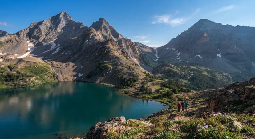
From the Jud Wiebe, climb roughly a mile to the Mill Creek junction, then almost immediately meet the Sneffels Highline junction on the right. From there it is about three miles of ascent gaining around 2,000 feet, until the trees end abruptly near 11,750 feet and the route opens into Pack Basin.
What It Is Not
Worth saying plainly, because the name confuses people: the Sneffels Highline does not climb Mount Sneffels and does not touch the summit. It traverses high country beneath the range. You get the skyline as a view, not as an objective. If you want the peak, that is a different day entirely, from the other side of the mountains.
When to Go
The realistic season is May through October, and the early and late ends of that are conditional on snow. Pack Basin holds snow well after the town of Telluride is dry, and a stretch of steep snow on a traverse is a different proposition from snow on a flat trail.
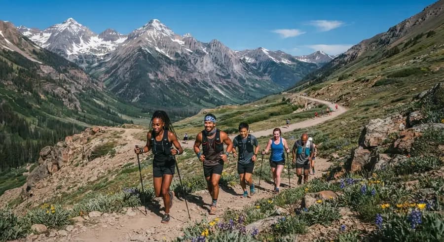
It is a popular trail for hiking, backpacking and trail running, but it is long enough that you can still find quiet on it, particularly early in the morning and midweek.
Sneffels Highline Trail: Telluride's Big Loop FAQs
The core loop is about 12 miles. Linked with the Deep Creek Trail it runs closer to 14.3 miles with roughly 3,900 feet of elevation gain, and other common variations fall between 12.7 and 13.5 miles. Budget seven to nine hours.
No. Despite the name it is a loop in the Sneffels Range above Telluride and does not summit the peak. Mount Sneffels itself is climbed from Yankee Boy Basin near Ouray, on the other side of the range, by the Lavender Col route.
Most hikers go clockwise, starting up the Jud Wiebe Trail from the north end of Telluride. That front-loads the steep climbing while you are fresh and gives you a long descending traverse in the afternoon. Counter-clockwise works but saves a hard climb for the end of a very long day.
Hard. It is not technical, but 12 to 14 miles with around 4,000 feet of gain, starting at 8,750 feet and topping out above 12,000, is a serious day. The altitude is what catches people out, especially anyone who arrived in Colorado a day or two earlier.
July through September. Snow sits on the high traverse into early summer. Late September is the standout window because the aspen colour in this basin is among the best in the state.
No. It is a high traverse loop out of Telluride that passes beneath the Sneffels Range. The peak is scenery on this hike, not the destination. Climbing Mount Sneffels is a separate outing from Yankee Boy Basin on the south side.
Around 8 to 9 hours for most fit hikers. Distance is reported between 12.7 and 14.3 miles with roughly 3,400 to 4,000 feet of gain, depending on the source and whether the Deep Creek variation is included.
At the Jud Wiebe trailhead in Telluride. You climb about a mile to the Mill Creek junction, then meet the Sneffels Highline junction almost immediately on the right. No forest road driving and no four-wheel drive needed.
Yes. The worked day-by-day plan is Mt Sneffels Hike: A 3-Day Colorado 14er Itinerary (3 Days), with the permits, the stays and the drive times already sorted. Tell us your dates and we will put it together for you and confirm what is genuinely open on those days. Asking is free: no card, no deposit, and nothing is held until you say yes.