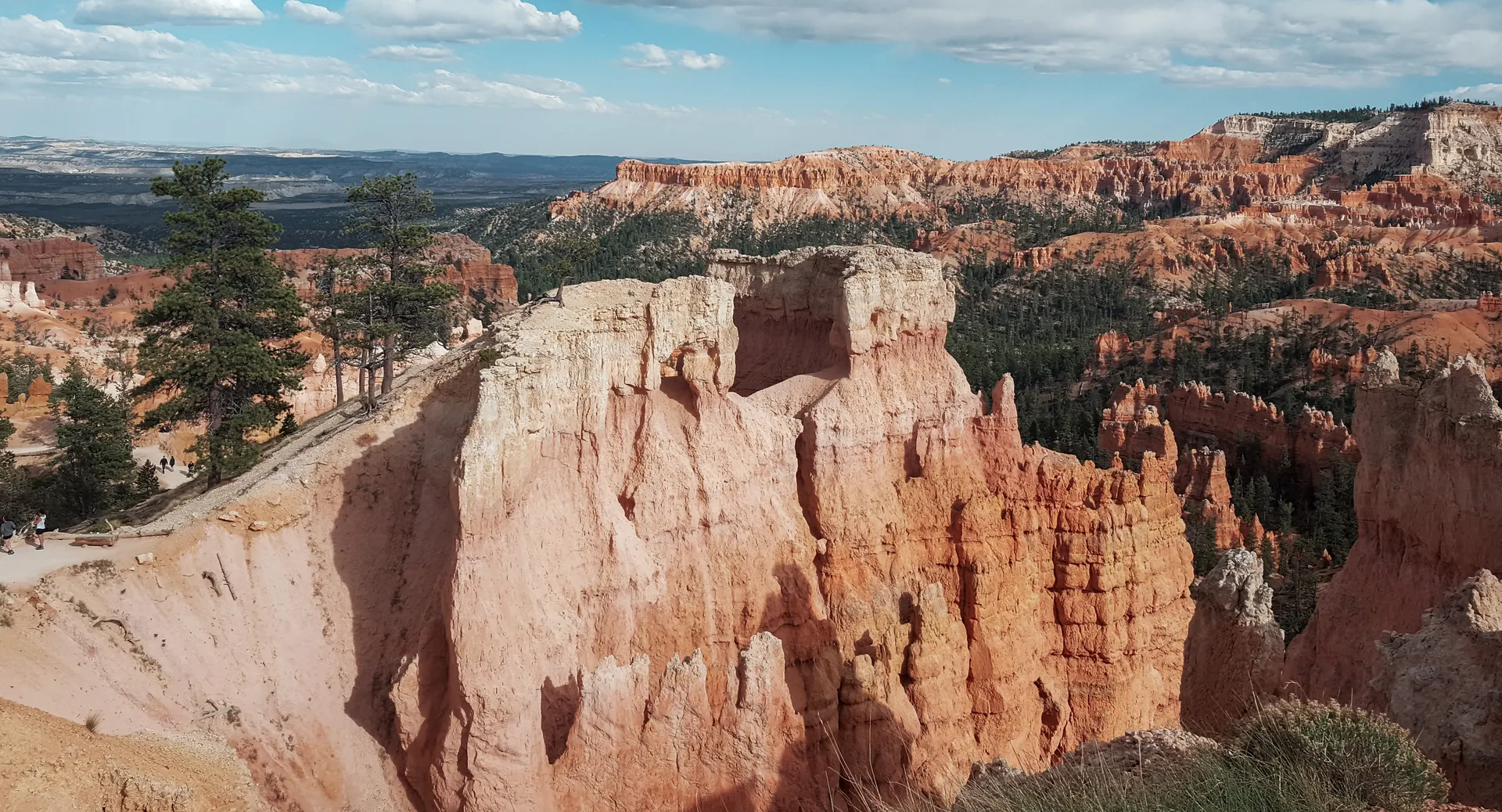
Bryce Canyon to Capitol Reef National Park: 124 Miles on Scenic Byway 12
Bryce Canyon to Capitol Reef National Park is 124 miles on Utah Scenic Byway 12, about 3 hours without stops, confirmed on the Capitol Reef park website. The road climbs over Boulder Mountain and passes Kodachrome Basin, Escalante and the town of Boulder on the way. Budget 4 to 5 hours with stops, and check conditions before you go: the summit section is exposed and can turn hazardous in snow. Our Utah Mighty Five road trip itinerary covers this drive as one leg of the full loop.
The Route: Scenic Byway 12 From Bryce to Torrey
Leaving Bryce Canyon, Scenic Byway 12 (UT-12) runs northeast through Cannonville and Henrieville, past the Kodachrome Basin turnoff, through the town of Escalante, over the narrow ridge locals call the Hogback, into the small town of Boulder, and then up and over Boulder Mountain before dropping into Torrey. From Torrey it is a short final stretch east on UT-24 to the Capitol Reef visitor center. The whole drive is 124 miles and takes about 3 hours if you do not stop, according to Capitol Reef National Park's own directions page. Most people take longer, because almost every mile of this road has a pullout worth using.
Kodachrome Basin: The Easy Detour
From Bryce Canyon, it is 7.2 miles on UT-12 to the Cannonville turnoff, then 9 miles south on Kodachrome Road to the state park, about 16 miles one way and 25 to 30 minutes off the main route. Kodachrome Basin State Park is known for its sand pipe rock spires, and it rarely has a crowd even in peak season. If you are short on time, skip it and save the stops for Grand Staircase-Escalante instead.
Escalante, the Hogback and Boulder
Escalante is the last real town with gas and groceries before Torrey, and the gateway to Grand Staircase-Escalante National Monument. A few miles past town, UT-12 narrows onto the Hogback, a ridge with drop-offs on both sides and no shoulder. Slow down here, especially if you are towing anything or driving an RV. Boulder, on the far side, is a town of a few hundred people with the Anasazi State Park Museum and a couple of good places to eat. It is a reasonable lunch stop, not a place to plan a long visit unless you already know you want one.
Should You Add the Burr Trail?
The Burr Trail starts in Boulder and is paved for its first stretch, then turns to graded dirt as it drops into Capitol Reef's Waterpocket Fold through Burr Trail Switchbacks. It is a real way into the park from the south, not a shortcut, and the unpaved section wants a vehicle with decent clearance and dry weather. Treat it as a separate half-day trip, not something you fold into the direct Bryce-to-Torrey drive.
One Day or Two?
Most people drive Bryce to Torrey in one sitting, since 3 hours of pavement is not a hard day even with a stop or two. Split it into two days if you want a real morning in Grand Staircase-Escalante: sleep in Escalante or Boulder, hike a slot canyon or an early trail the next morning, then finish the drive to Torrey by early afternoon. Either way, fill up on gas in Escalante. The stretch between there and Torrey has long gaps with no services.
Where to Sleep in Torrey
Torrey sits at the junction of UT-12 and UT-24, a few miles from the Capitol Reef visitor center, and it is where most people base rather than inside the park. Capitol Reef itself has one small campground at Fruita, and it fills up. Capitol Reef's own site also warns not to rely on GPS to find the park; use an actual map, since some GPS units route visitors onto unmaintained back roads.
Plan the Drive With Us
This drive is one leg of a bigger loop for a lot of travelers. If you have not built the rest of the trip yet, our Utah Mighty Five road trip itinerary covers all five parks in one route. Tell us your dates and how many days you have between Bryce Canyon and Capitol Reef, and we will build the stops around it, Kodachrome Basin and the Burr Trail included if you want them. Planning is free, and we earn only if you book through us.
Bryce Canyon to Capitol Reef National Park: 124 Miles on Scenic Byway 12 FAQs
124 miles on Scenic Byway 12 (UT-12), about 3 hours without stops. With stops at Kodachrome Basin, Escalante or Boulder, plan on 4 to 5 hours.
Yes in normal summer conditions, but the Hogback section has no shoulder and real drop-offs on both sides, and the Boulder Mountain summit is exposed to winter weather. Check road conditions before you go if you are driving between late fall and spring.
Torrey, at the UT-12 and UT-24 junction a few miles from the Capitol Reef visitor center. Escalante or Boulder work if you want to split the drive over two days.
Yes. It is a roughly 16 mile detour off UT-12 from Bryce Canyon, about 7.2 miles to the Cannonville turnoff and 9 more miles south on Kodachrome Road.
A road starting in Boulder that is paved at first, then unpaved as it drops into Capitol Reef through the Burr Trail Switchbacks. It is a scenic alternate route into the park from the south, not a faster way to Torrey, and the dirt section needs a vehicle with reasonable clearance.
Yes. The worked day-by-day plan is Utah Mighty Five: 5-Day National Parks Road Trip (5 Days), with the permits, the stays and the drive times already sorted. Tell us your dates and we will put it together for you and confirm what is genuinely open on those days. Asking is free: no card, no deposit, and nothing is held until you say yes.






























