The Pawnee Buchanan Pass Loop Two Passes, Four Days, One Permit Problem
The Pawnee Buchanan loop is the best multi-day walk on the Front Range, and the closest one to Denver.
About thirty miles around the Indian Peaks over Pawnee Pass at 12,542 feet and Buchanan Pass at 11,844, starting and finishing at Brainard Lake. The walking is straightforward. The permits are the part people get wrong.
Guided from $2,865 per person. Free to ask, pay after the guide confirms.
“I’ve requested to book a Chain Lakes Loop guide on ExplorOFF, and it was the best idea ever! I highly recommend going with their guided option since you get a real human connection on the trail and don’t have to worry about a thing. Yulia was great to talk to!”
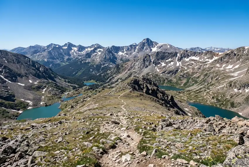 13 stops on a real mapEvery stop pinned in order→
Pawnee Buchanan Loop: every stop pinned in order.
Brainard Lake → Pawnee → Buchanan
Every stop on this trip, in order, opens as one driving route in the Google Maps app. No copying addresses across one at a time.
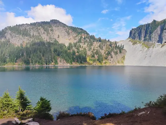
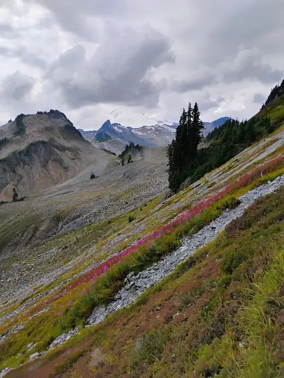
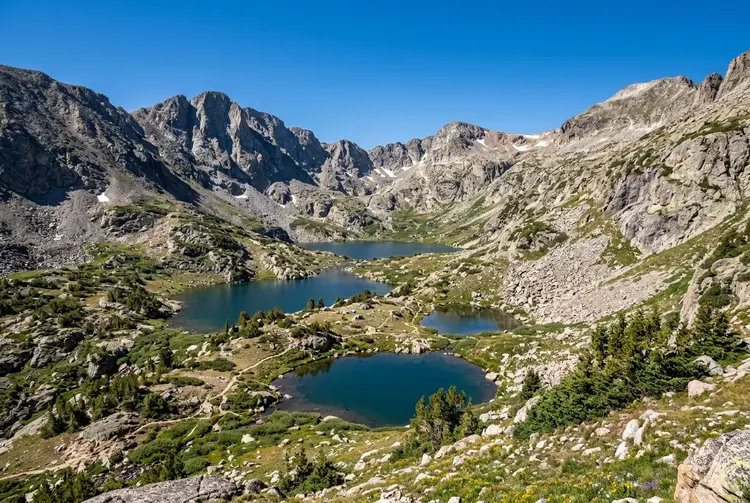
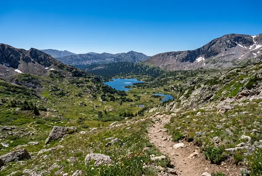
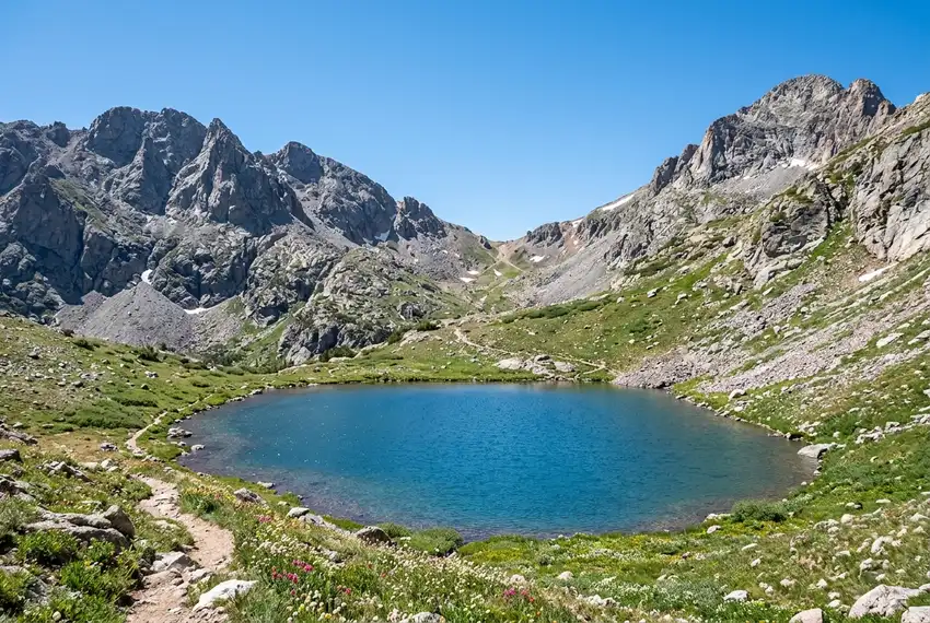
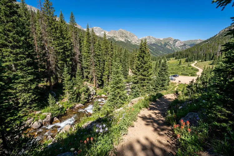
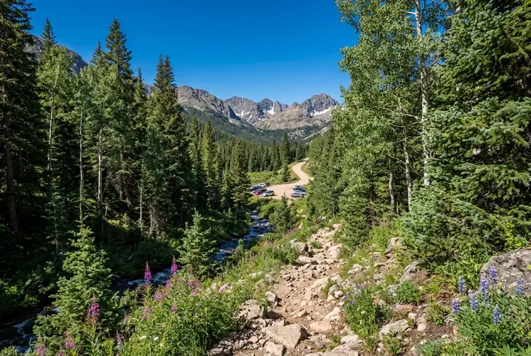
Pawnee Buchanan Loop in photos: 6 of the stops.
Plan and book your 4 days in Pawnee Buchanan Loop, one step at a time
- Indian Peaks overnight permits ($11 per permit on Recreation.gov) are required only June 1 to September 15, 2026, so an autumn trip needs none; Crater Lake is still designated campsites only, and campfires are banned east of the Divide and at Crater Lake. Source
How 4 days in Pawnee Buchanan Loop split up
Plan 4 days for Pawnee Buchanan Loop. Distance: ~30 mi. Gain: ~7,650 ft. Permit: Required. The Pawnee Buchanan Pass Loop is the classic backpacking circuit in the Indian Peaks Wilderness: roughly thirty miles around the back of the range, crossing Pawnee Pass at 12,542 feet and Buchanan Pass at 11,844 feet, with alpine lakes, waterfalls and a long stretch of genuinely quiet valley in between.
Day 1: Long Lake to Pawnee Pass and down the west side
4 stops · Day one
Day 2: The Cascade valley and the long quiet middle
3 stops · Day two
Day 3: Buchanan Pass and back over the divide
3 stops · Day three
Day 4: Closing the loop back to Brainard Lake
3 stops · Day four
Long Lake to Pawnee Pass and down the west side
Start at the Long Lake trailhead in Brainard Lake Recreation Area, walk past Long Lake and Lake Isabelle, and climb the switchbacks to Pawnee Pass at 12,542 feet. It is the high point of the whole loop and you are doing it on day one with a full pack, which is the argument for going this direction: get it done while you are fresh.
Not the order you want? Drag a stop, or use the arrows beside it. Stops move between days too.
- Drive from
~20 min above Nederland · DriveBrainard Lake Recreation Area is about an hour from Boulder and twenty minutes above Nederland. A summer timed entry reservation is required for the vehicle, and it is a completely separate booking from your wilderness permit.
- Long Lake and Lake Isabelle
The approach · HikeThe first few miles run past Long Lake and up to Lake Isabelle below the Navajo and Apache peaks. It is the most photographed stretch of the Indian Peaks and it is busy with day hikers until you start climbing.
- Pawnee Pass
12,542 ft · high point · mtnSwitchbacks up to 12,542 feet and the high point of the loop. Fully exposed at the top, and the snow lingers here into July in most years. Doing it on day one means doing it with your heaviest pack, which is the trade.
- Crater Lake, designated sites
Designated sites only · tentBelow the Lone Eagle Cirque, and one of the most striking camps in Colorado. Camping here is restricted to designated numbered sites rather than dispersed, so your permit has to match.
The Cascade valley and the long quiet middle
This is the day nobody photographs and everybody remembers. From the Crater Lake basin the route drops into the Cascade Creek valley, past waterfalls and through forest, then turns north and begins the long gradual climb back up toward the Buchanan side.
Not the order you want? Drag a stop, or use the arrows beside it. Stops move between days too.
- Cascade Creek and the waterfalls
Reliable water all day · WaterThe route drops into the Cascade Creek drainage past a string of waterfalls. Water is plentiful, the walking is mostly in trees, and you will see almost nobody.
- Buchanan Creek
The long gradual climb · routeTurning north and beginning the slow climb back up toward the second pass. Willow bottoms through here hold moose, which are the animal actually worth worrying about in this wilderness.
- Camp below Buchanan Pass
Dispersed, wilderness rules · tentDispersed camping under the normal wilderness rules: 100 feet from water and trail, no fires above treeline, and bear-resistant storage. Position yourself for an early start on the pass.
Buchanan Pass and back over the divide
Buchanan Pass at 11,844 feet is the second crossing and the lower of the two, but you are climbing to it from the bottom of the valley so the day still has real work in it. The pass sits on the Continental Divide with the Indian Peaks strung out to the south.
Not the order you want? Drag a stop, or use the arrows beside it. Stops move between days too.
- Buchanan Pass
11,844 ft · Continental Divide · mtnThe second crossing, on the Continental Divide at 11,844 feet. Lower than Pawnee but climbed from the valley floor, so the day is not the easy one it looks like on paper.
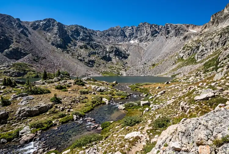 Middle St Vrain descent
Back on the east side · routeDown the east side into the Middle St Vrain drainage. From here the loop is closing and the walking eases off considerably.
- Last night out
Dispersed · tentA short final day tomorrow, so camp wherever the wilderness rules allow and enjoy the last evening out.
Closing the loop back to Brainard Lake
The last day runs east and then south to close the circle back at Brainard Lake. It is the gentlest walking of the trip and a good morning rather than a hard day.
Not the order you want? Drag a stop, or use the arrows beside it. Stops move between days too.
- Blue Lake side trip
Optional, a few extra miles · WaterFrom the Mitchell Lake side, Blue Lake sits in a cirque under Mount Toll and is one of the best short walks in the wilderness. Optional, and worth it if your legs have anything left.
- Back to the Long Lake trailhead
Loop closed · routeThe last couple of miles back to the car. Gentle, and busy again with day hikers as you get close to Brainard.
- Down to Nederland
~20 min · DriveTwenty minutes down the hill and the obvious place for the first proper meal after four days out.
Sort where you sleep each night
Most nights on this trip are in a tent. Reserve any campsite the route needs, and the room either side of it if you want one.
Tell us your dates and we will do the calling: the rooms either side, and the guided days in between. Nothing is charged and you decide at the end.
Request to bookWhat to pack for Pawnee Buchanan Loop
Built from this route, not a generic list. Every line says why it is here.
On every day of this trip
On your feet
Because you are sleeping out 3 nights
For the drive to the trailhead
Three separate permits and only one of them is the wilderness permit.
Brainard timed entry is not your wilderness permit
Brainard Lake Recreation Area runs its own summer vehicle reservation. Plenty of people arrive with a valid wilderness permit and cannot get through the gate to the trailhead.
Crater Lake is designated sites only
Camping around Crater Lake is restricted to numbered sites rather than anywhere you like. Everywhere else on the loop is dispersed within the usual wilderness rules.
Two passes, one weather window
Pawnee and Buchanan are both fully exposed. In monsoon season you want to be over the top and heading down by early afternoon.
Moose, not bears, are the risk
The willow bottoms along Cascade and Buchanan Creek hold moose, which are far more likely to hurt you here than a black bear. Back off and go round.
Planning Pawnee Buchanan Loop, answered.
Pawnee Buchanan Loop: the questions people ask most.
Reported distances run from 26 to 34 miles. The core loop is about 30 miles with roughly 7,650 feet of climbing, and the variation comes from side trips to the lakes and summits along the way. Most people take three or four days.
Yes, and potentially three separate things: an Indian Peaks overnight wilderness permit for the summer season, designated-site camping if you stay at Crater Lake, and a Brainard Lake Recreation Area timed entry reservation for the vehicle on the day you drive in.
Pawnee Pass is 12,542 feet and Buchanan Pass is 11,844 feet. Pawnee is the high point of the loop and is usually climbed on day one from the Brainard Lake side.
Clockwise from Long Lake puts Pawnee Pass, the higher and steeper of the two, on day one while you are fresh. It also means the long quiet Cascade valley falls in the middle of the trip rather than at the end.
July through September, once the snow has cleared off Pawnee Pass. Late June is usually still snowy on the switchbacks and an ice axe is sensible. October is beautiful and cold, and the passes can get an early storm.
The Long Lake trailhead in the Brainard Lake Recreation Area, about twenty minutes above Nederland. The lots fill early and the area requires a summer timed entry reservation for vehicles.
Tell us your dates and we ask a local guide who works this area what they can do on your days and what it costs. If nobody is free, we tell you. Asking is free: no card, no deposit, and nothing is held until you say yes.
Pick how you want to go.
Same 4-day loop. Same 11 stops.
- 3 nights, sites along the route
- $84
- Rental car, 4 days
- $240
- Gas, about 48 miles
- $10
- A private local guide, campsites booked
- Included
- Airport pickup and every drive
- Included
- Park, permit and campsite fees paid
- Included
- All the gear and the trail meals
- Included
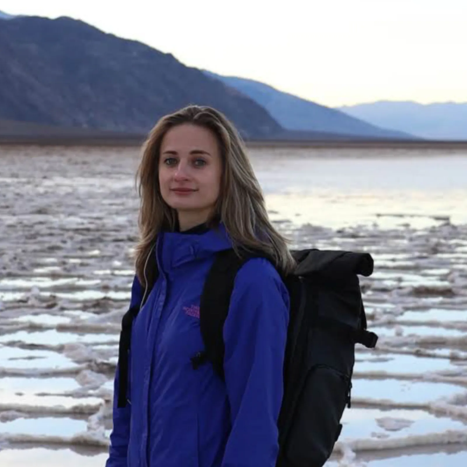
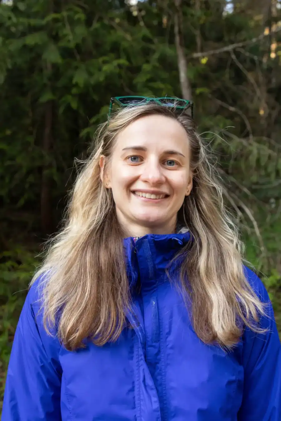
Written and walked by Yulia Vasilyeva · Co-founder · Lead planner and guide
Three years leading guided hikes in the Pacific Northwest, rated 5.0 by 20+ verified guests, and she builds every custom itinerary herself. Based in Seattle.
Last checked September 2026
You might also love these
Other itineraries near this one.
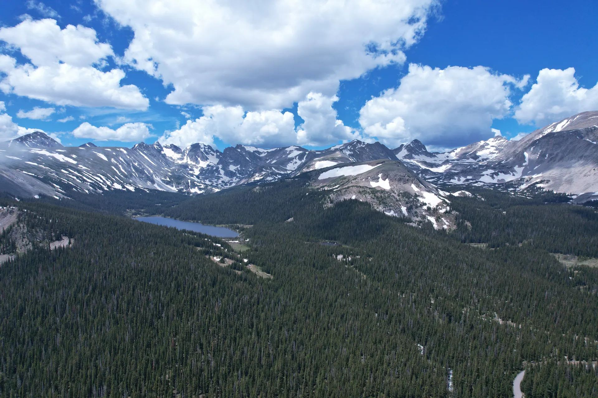
Indian Peaks Wilderness: Weekend Backpacking Guide
The best intro backpacking trip near Denver: Indian Peaks Wilderness in 2 days, Continental Divide views, alpine lakes, and a…
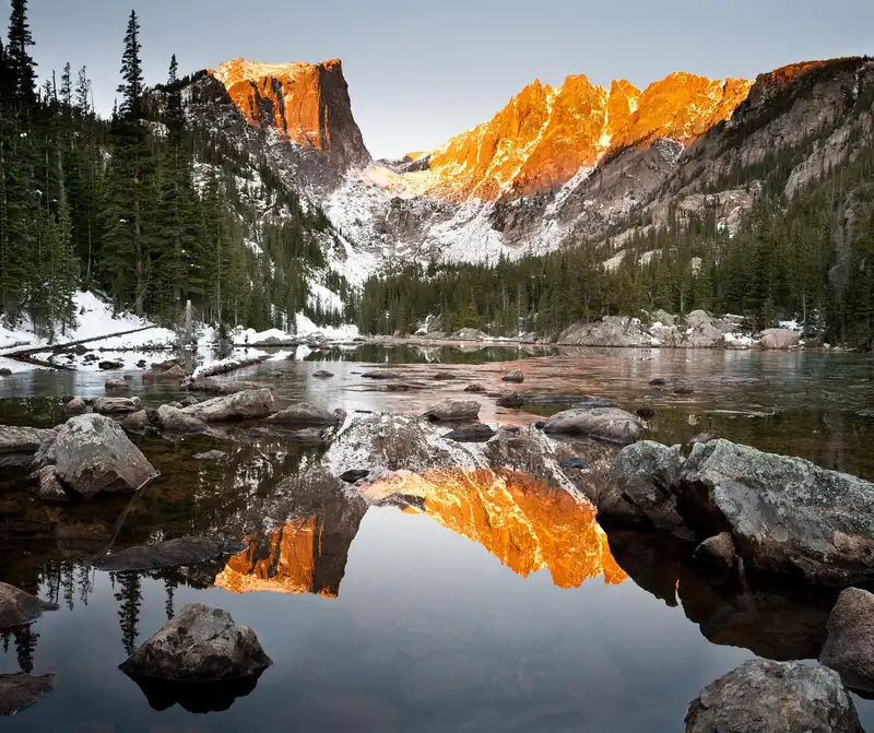
Rocky Mountain National Park With Kids: A Family Adventure Itinerary
Four family days in Rocky Mountain National Park from Estes Park: easy lake loops, a waterfall hike, elk in the meadows, the tundra…
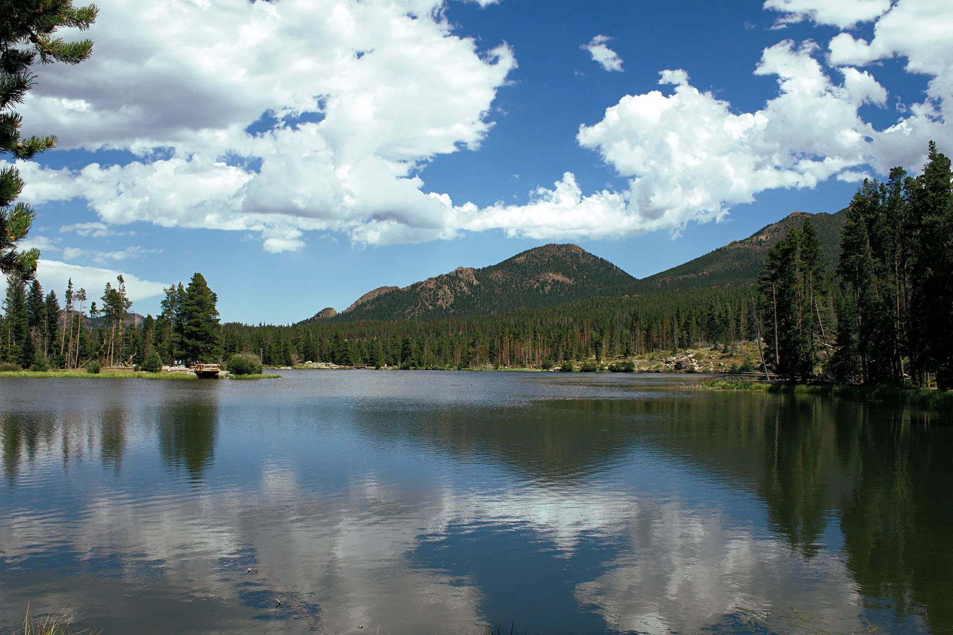
Rocky Mountain National Park Itinerary: 3 Days in Estes Park
A 3-day Rocky Mountain National Park itinerary based in Estes Park: the Bear Lake corridor and Emerald Lake, the climb to Sky Pond, and…
Guides for this tripBackpacking in ColoradoFour Pass Loop Permits
What adventurers say about us.
All reviews are from verified guests. ★★★★★ 5.0 average from 20+ bookings.
"Felt like going out with a really knowledgeable friend who just happens to know everything about the area. No awkward tour-guide energy, just a magnificent day."
"Yulia is an incredible guide. She knew every trail, every viewpoint, and exactly how to pace the day for our group. The photos she took of us were stunning. 100% booking again."
"I was visiting Seattle solo and this was the best decision I made on the trip. Yulia picked me up, had snacks, and took us to a trail I never would have found on my own. Absolute must-do."
"We did this as a couple's trip and it was perfect. Yulia adapted everything to us, our pace, our interests, our photo obsession. The mountain views were unreal."
"Phenomenal experience. Yulia has deep local knowledge and a real passion for the outdoors. She went out of her way to show us the hidden gems tourists never see. Will remember this forever."
"I've done a few guided hikes and this was by far the best. Yulia is warm, funny, and genuinely expert. The trail she chose had the most insane wildflower bloom, we got so lucky."
Fees, reservation windows, shuttle dates and trail closures are planning estimates. Confirm hours, road status and any reservations with the land manager before you go.
What other travelers are saying
Be the first to leave a tip or question for the next traveler.
Was this helpful?
One tap. It goes straight to Yulia and Margarita.
You can't hike it if you can't get the permit.
The best hikes in America run on lotteries that open once a year and sell out in minutes. Every trail runs on its own calendar. Pick the ones you want and we do the watching.
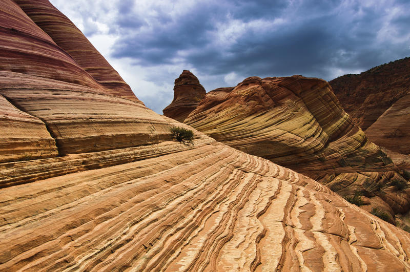 The WaveCoyote Buttes North · Arizona / UtahPermitLotterybrutal odds
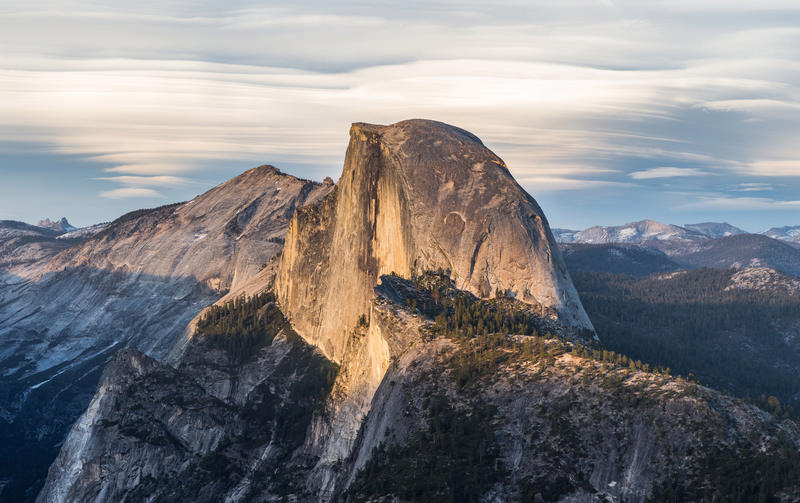 Half Dome CablesYosemite NP · CaliforniaPermitOpens Mar 1fair odds
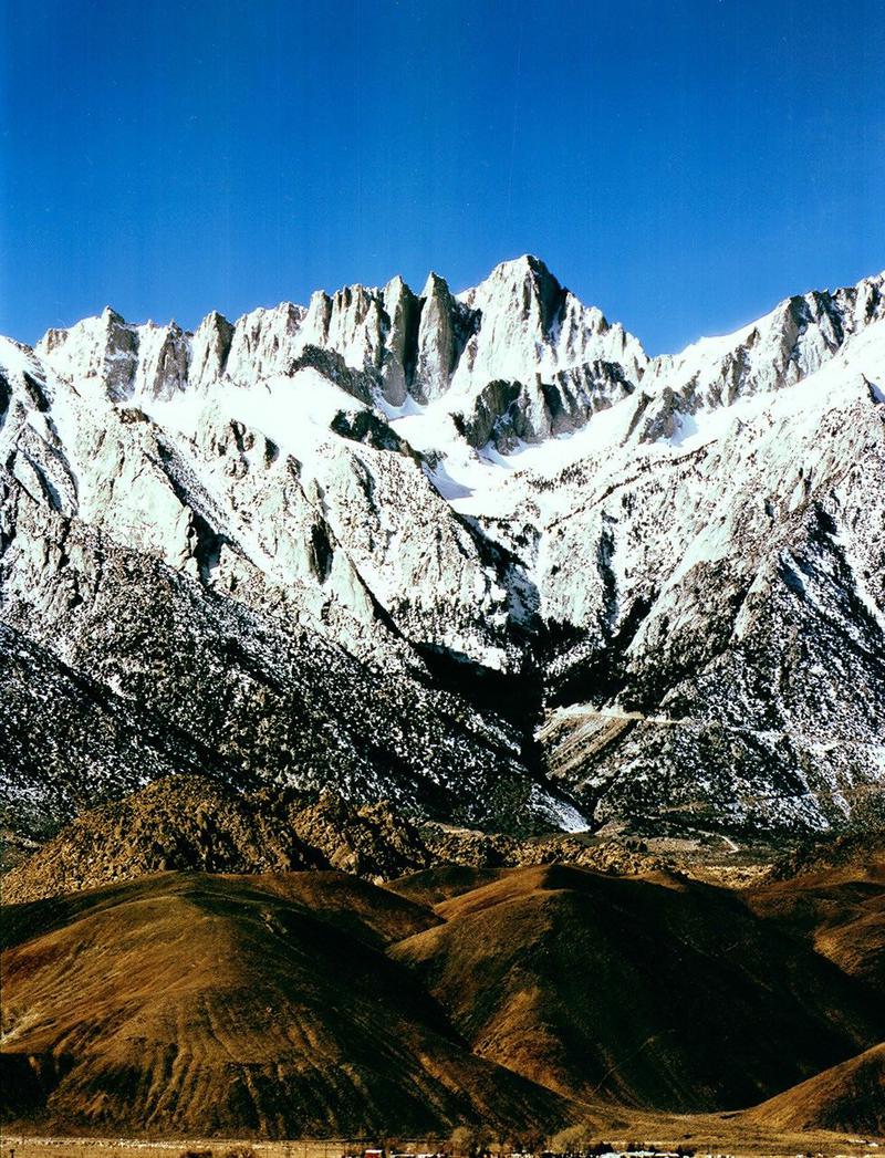 Mt. WhitneyInyo NF · CaliforniaPermitOpens Feb 1tough odds
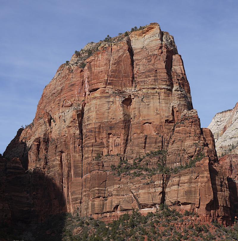 Angels LandingZion NP · UtahPermitLotterytough odds
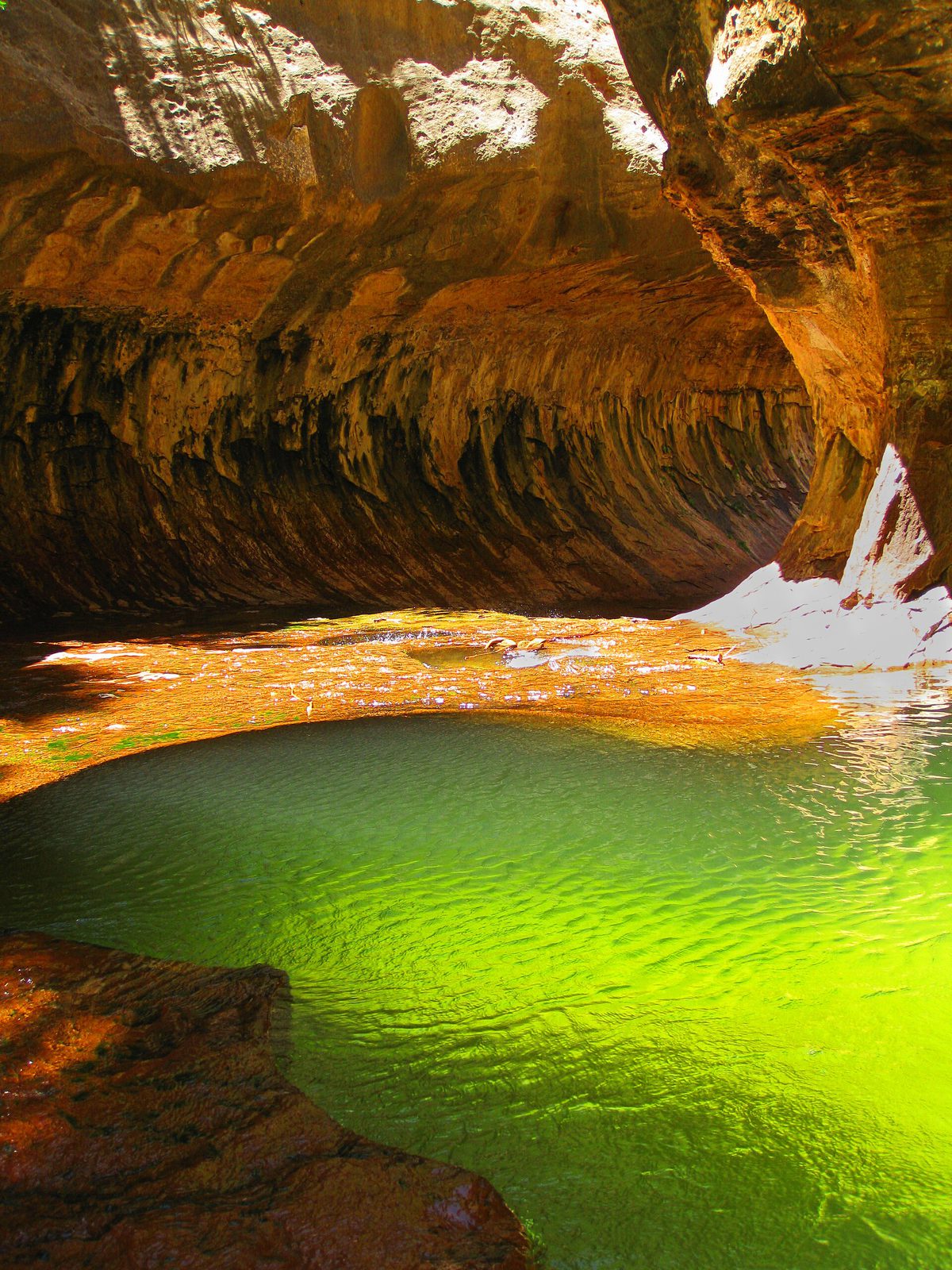 The SubwayZion NP · UtahPermitLotterytough odds
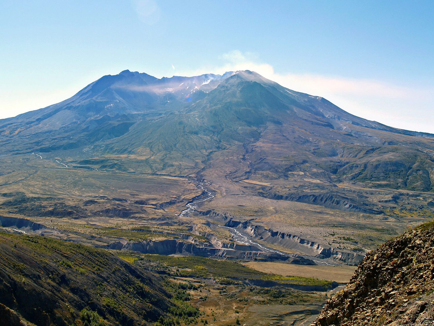 Mount St. Helens Summit ClimbGifford Pinchot NF · WashingtonPermitReservationtough odds
How it works
- An email the morning each window opens, never the day after.
- A 14-day heads-up so you can line up your group and dates.
- Win odds and a ranked backup plan for every trail you pick.
Didn't win? We keep watching. We check recreation.gov every day for The Enchantments, Half Dome and Angels Landing, and email you the moment a sold-out date frees up. Cancellations are the second chance most people never hear about.