Mount Rainier National Park in three days
One side of the mountain per day
Paradise on day one, Sunrise on day two, the old-growth south east on day three. One side of the mountain per day, because crossing it takes ninety minutes.
Guided from $2,375 per person. Free to ask, pay after the guide confirms.
“I’ve requested to book a Chain Lakes Loop guide on ExplorOFF, and it was the best idea ever! I highly recommend going with their guided option since you get a real human connection on the trail and don’t have to worry about a thing. Yulia was great to talk to!”




 12 stops on a real mapEvery stop pinned in order→
Mount Rainier: every stop pinned in order.
Every stop pinned in order
Every stop on this trip, in order, opens as one driving route in the Google Maps app. No copying addresses across one at a time.
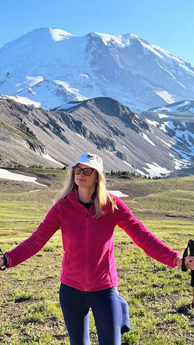
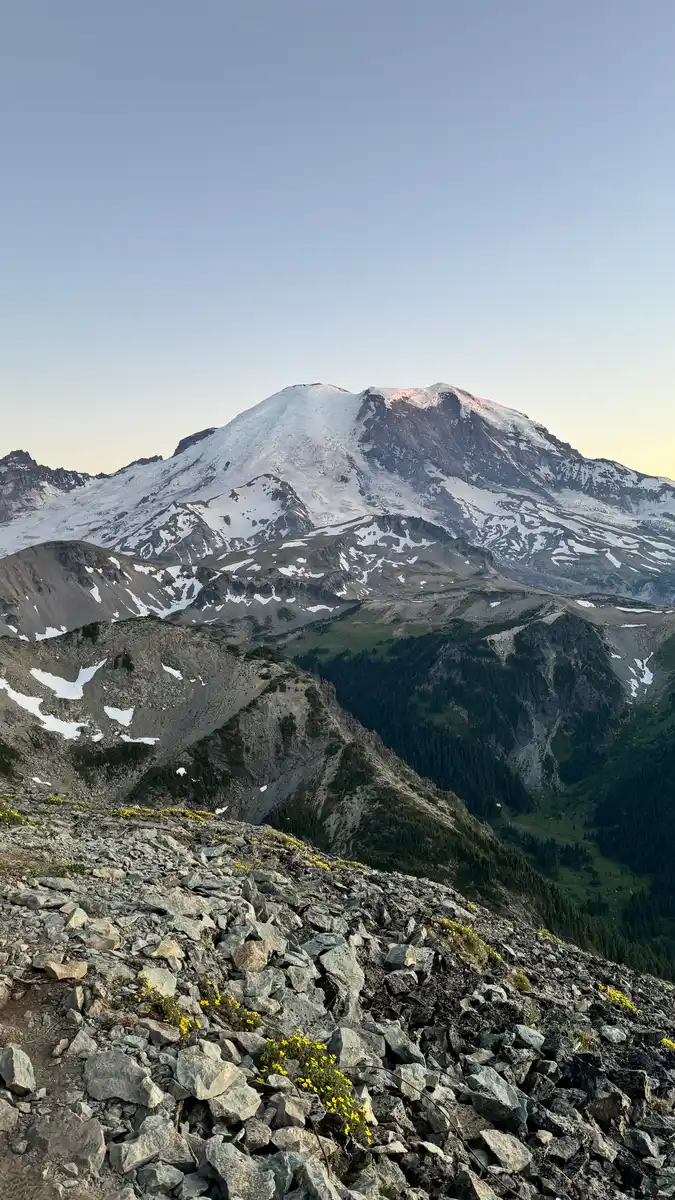
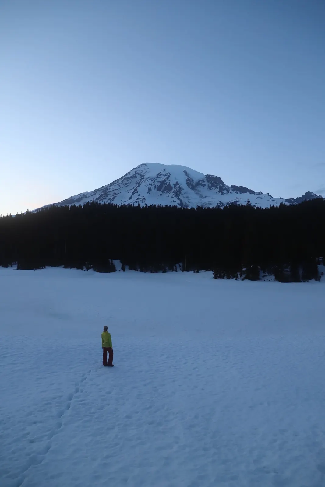
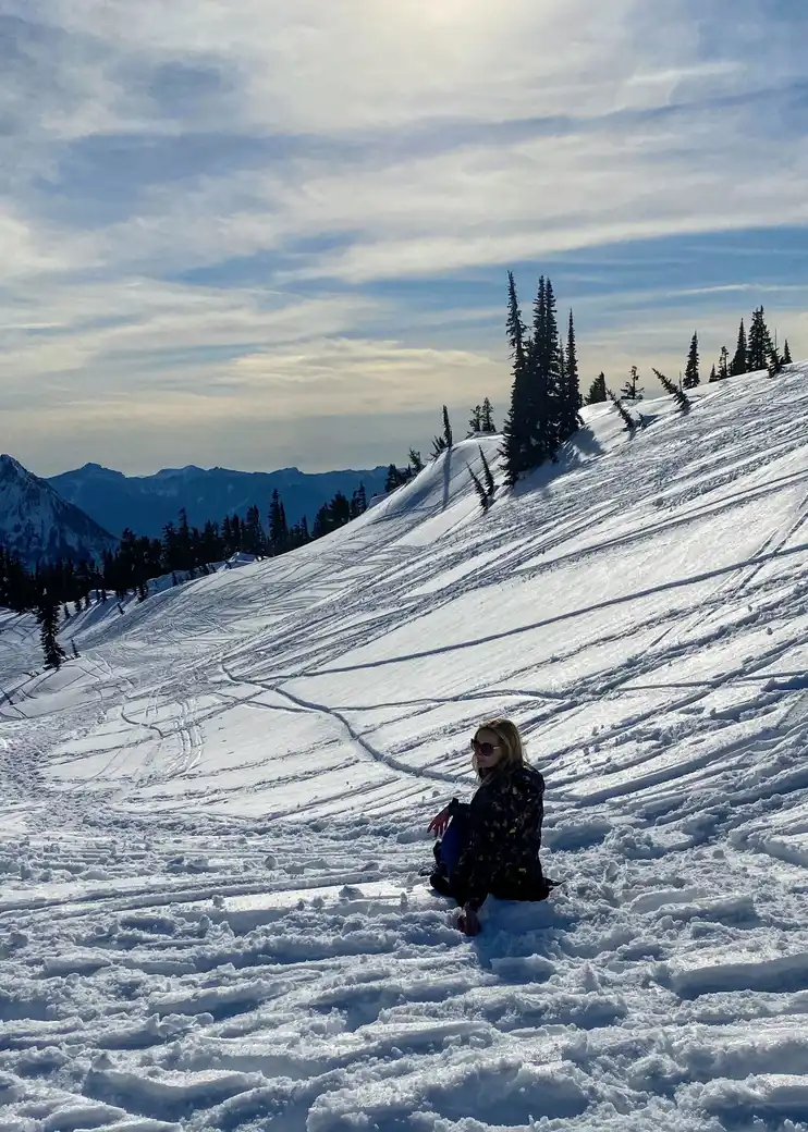
Mount Rainier in photos: 4 of the stops.
Plan and book your 3 days in Mount Rainier, one step at a time
- Wildfires on the north side of the park have closed Sunrise Road to vehicles until further notice (open to walkers and cyclists only), so the day 2 Sunrise hikes cannot be reached by car right now. White River Road and campground are open. Source
- The whole Ohanapecosh Campground area, including the visitor center, picnic area and river access, is closed for construction in 2026. Use the Grove of the Patriarchs lot for the Silver Falls trail. Source
- The Grove of the Patriarchs itself stays closed until its suspension bridge is replaced; the parking lot, restrooms, Eastside Trail and Silver Falls Trail are open. Source
How 3 days in Mount Rainier split up
Plan 3 days for Mount Rainier. Home base: Ashford. Difficulty: Moderate. Mapped stops: 12. Mount Rainier is a single 14,411 foot volcano with a road that does not go round it. Paradise on the south side and Sunrise on the north east both look straight at the summit, and driving between them takes an hour and a half. Nearly every bad Rainier trip is somebody trying to do both before lunch.
Day 1: Paradise, the Skyline Trail and Reflection Lakes
4 stops · Day one
Day 2: Sunrise, Sourdough Ridge and Burroughs Mountain
5 stops · Day two
Day 3: Stevens Canyon, the Grove of the Patriarchs and out
3 stops · Day three
Paradise, the Skyline Trail and Reflection Lakes
Be through the Nisqually Entrance by seven. The Paradise lot fills by nine on a July weekend and there is no second lot. Early also means you are on the Skyline Trail before the meadow heat and before the queue at Myrtle Falls.
Not the order you want? Drag a stop, or use the arrows beside it. Stops move between days too.
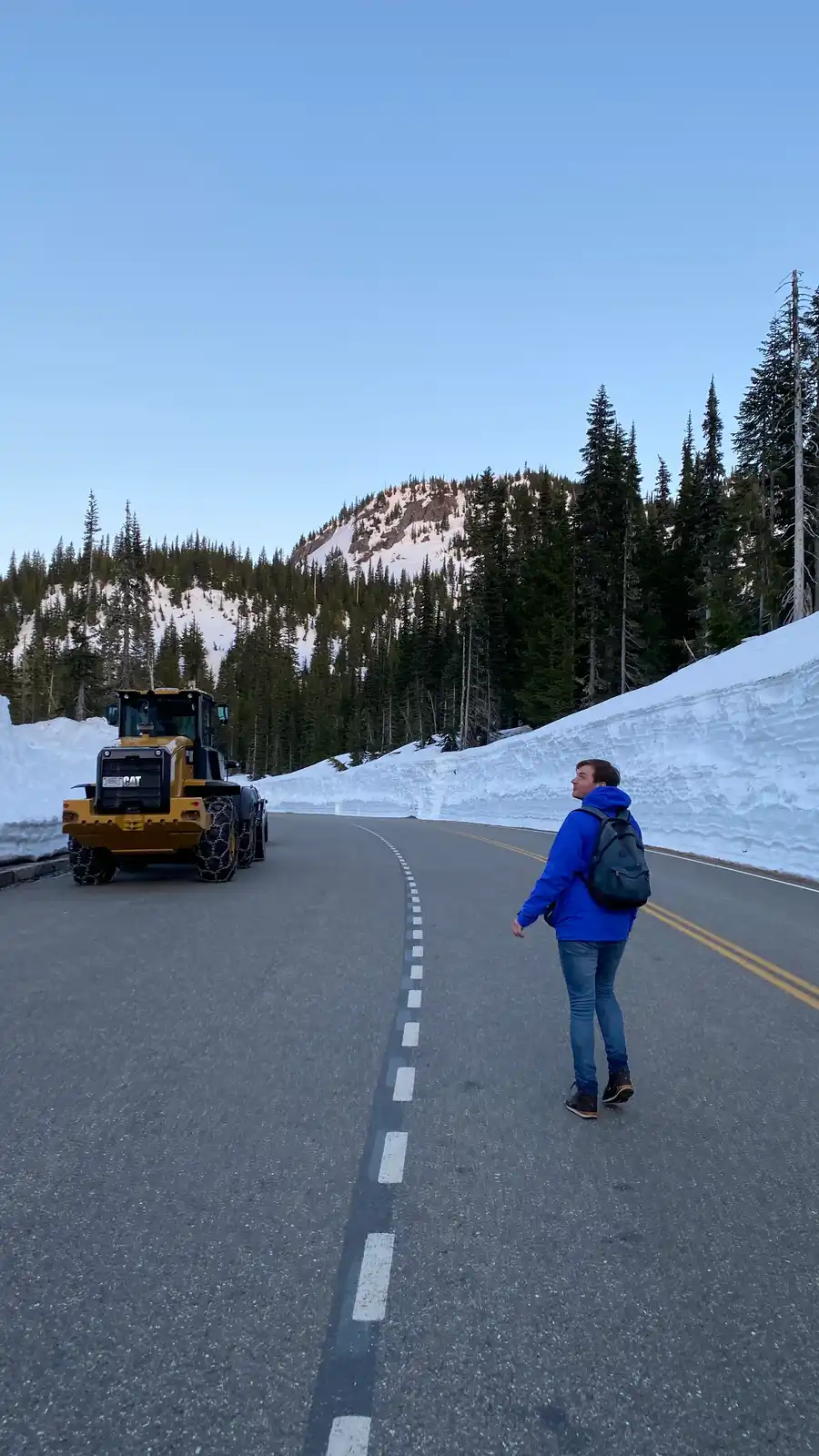 Drive from
Sea-Tac to the Nisqually Entrance · ~2 hr · DriveMost people fly into Sea-Tac and drive south east. The Nisqually Entrance is the only gate open all year, and it is the one you want for Paradise.
- Skyline Trail loop
5.5 mi · 1,700 ft · the best day hike here · HikeClockwise from the Paradise visitor centre, up through the meadows to Panorama Point at 6,800 feet and down past Sluiskin Falls. Snow lingers on the high traverse into July.
- Reflection Lakes
Evening light · five minutes from the car · ViewpointThe mountain sits in the water when the wind drops. Come at six in the evening, not at noon, and walk the short loop round the shore.
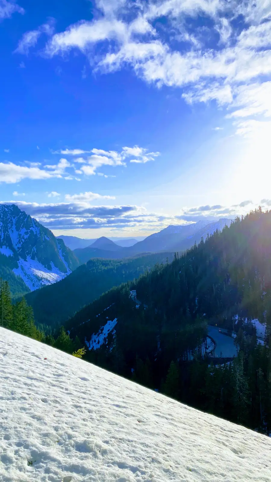 Base in Ashford
6 mi from the gate · book early · lodgeAshford is the closest town to the Nisqually Entrance and where most Paradise trips sleep. Cabins here book three to six months out for July and August.
Sunrise, Sourdough Ridge and Burroughs Mountain
Sunrise is the highest point you can drive to in the park at 6,400 feet, and it faces the mountain across the Emmons Glacier, which is the largest glacier in the contiguous United States. It is a ninety minute drive from Ashford, so this is an early start and a separate timed entry reservation.
Not the order you want? Drag a stop, or use the arrows beside it. Stops move between days too.
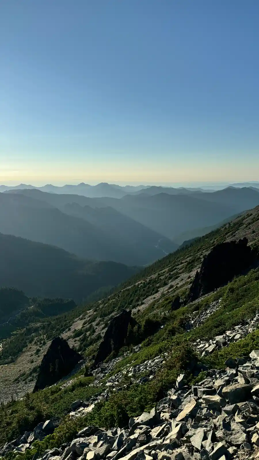 Closed now: Ashford to Sunrise
Sunrise Road closed to cars by wildfire · walkers and cyclists only · DriveRound the outside of the park to the White River Entrance. This is the drive people underestimate: ninety minutes each way. No timed entry reservation is required for 2026, but the lot still fills.
- Closed now: Sourdough Ridge Trail
Sunrise Road closed to cars by wildfire · walkers and cyclists only · HikeA gentle ridge walk straight out of the Sunrise parking lot, with the view north to Glacier Peak and Mount Baker on a clear morning.
- Closed now: Burroughs Mountain
Sunrise Road closed to cars by wildfire · walkers and cyclists only · HikeFirst Burroughs is 5 miles round trip, Second is 7, Third is 9 with the mountain filling the sky. Exposed tundra the whole way, and snow holds on the traverse into July.
- Closed now: Emmons Glacier overlook
Sunrise Road closed to cars by wildfire · walkers and cyclists only · ViewpointThe Emmons is the biggest glacier by area in the contiguous United States, and from Sunrise you look straight across it at the summit.
- Stay in Packwood
About 1.5 hr south of Sunrise over Cayuse Pass · 20 min to Box Canyon · lodgePackwood sits just outside the southeast corner of the park, so tomorrow starts twenty minutes from Box Canyon instead of back at Ashford.
Stevens Canyon, the Grove of the Patriarchs and out
The south east corner is the quiet one, and it is the best forest in the park. Drive Stevens Canyon Road east with the pullouts to yourself, stopping at Box Canyon where the Muddy Fork has cut a slot you can look straight down into.
Not the order you want? Drag a stop, or use the arrows beside it. Stops move between days too.
- Box Canyon
A slot you look straight down into · ViewpointThe Muddy Fork has cut a narrow slot through the rock here and the footbridge crosses right over it. Ten minutes, and worth stopping for.
- Silver Falls loop
3 mi · start at the Grove of the Patriarchs lot while Ohanapecosh is closed · HikeThe better walk of the two and the one that is always open. Old growth, a good waterfall, and hardly anyone on it compared with Paradise.
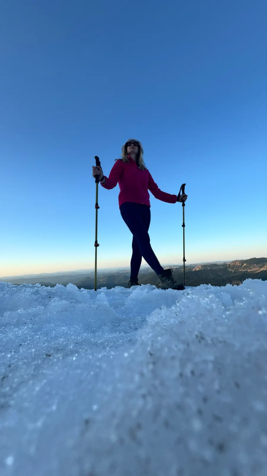 Out over Chinook Pass
Summer only · spectacular · DriveIf the pass is open, take it. Highway 410 climbs to 5,430 feet with the mountain behind you and Tipsoo Lake at the top. Closed by snow most of the year.
Book the 2 nights
Beds near the trailheads are the one thing on this trip that genuinely runs out. Everything else can be decided later.
Tell us your dates and we will do the checking. We find what is still open near each trailhead and email you this plan back with a booking link for each night. Nothing is charged and you decide at the end.
Request to bookCougar Rock Campground (Mount Rainier) opens on its own calendar
The closest reservable campground to Paradise, 173 sites in old growth at $20 a night.
| Permit | Required: Cougar Rock Campground (Mount Rainier) Official page |
|---|---|
| Application window | six month rolling window, so a July date opens in January |
| Odds of drawing | Tough for July and August weekends, fair midweek |
| If your application is denied | Ohanapecosh on the south east corner or White River for the Sunrise side, or a cabin in Ashford outside the Nisqually gate. |
| Trip starts from | Ashford, WA, flying into Seattle-Tacoma (SEA) |
What to pack for Mount Rainier
Built from this route, not a generic list. Every line says why it is here.
On every day of this trip
On your feet
Because you are sleeping indoors
For the driving days
Specific to Mount Rainier
Five things that catch people out
No timed entry required in 2026
Mount Rainier is not requiring a timed entry reservation for any part of the park in 2026; entry is first come, first served. Check nps.gov/mora before your trip in case the policy changes for a later season.
Paradise and Sunrise are 90 minutes apart
They face the same summit from opposite sides. Do not try to do both in a day.
Sunrise opens late
Usually late June or July. Before that, day two has to become a second Paradise day.
The lots fill by nine
Paradise first, Sunrise a little later. Arriving at seven is the whole trick, and you get the light too.
The mountain makes its own weather
Clear in Ashford means nothing about Paradise. Check the NWAC and park forecasts, not the town one.
Mount Rainier, answered
Sunrise Mount Rainier: the questions people ask most.
Three is the number that works: one for Paradise, one for Sunrise, one for the south east. Two is enough if you skip Sunrise. One day is a Paradise day and nothing else.
No, not in 2026. Mount Rainier is not requiring a timed entry reservation for the Paradise or Sunrise corridors this year; entry is first come, first served and the park is using parking management instead. Check nps.gov/mora before your trip in case this changes for a future season, and arrive before mid-morning either way since the lots still fill.
Late July through early September. The meadows peak from late July, the snow has cleared the high traverses, and Sunrise is open. September trades wildflowers for far fewer people.
Paradise has the wildflower meadows and the Skyline Trail. Sunrise is higher, drier, more alpine, and faces the Emmons Glacier. If you only have one day, take Paradise; if you have two, do both properly on separate days.
Yes, the Nisqually Entrance is about two and a half hours from Seattle. It makes for a long day and you will only see Paradise, but it is a real option.
Ashford for Paradise, Packwood for the south east, Greenwater or Crystal Mountain for Sunrise. Inside the park there are three campgrounds and two historic inns, all of which book out months ahead.
About 91 miles from Sea-Tac Airport to Paradise, roughly 2 hours 15 minutes without stops. Most of that is freeway to Ashford or Elbe, then about 20 more minutes up the park road, so budget extra time if you are arriving during the morning rush out of Seattle.
Yes, the Cougar Rock Campground is required. The closest reservable campground to Paradise, 173 sites in old growth at $20 a night.
Application window: six month rolling window, so a July date opens in January.
Tough for July and August weekends, fair midweek.
Ohanapecosh on the south east corner or White River for the Sunrise side, or a cabin in Ashford outside the Nisqually gate.
Ashford, WA is the gateway town, flying into Seattle-Tacoma (SEA).
Yes. Tell us your dates and we check what is still open for the plan on this page, then send it back with a booking link for each night and the total. Nothing is charged and nothing is held, and you pay the normal rate.
Pick how you want to go.
Same 3-day route. Same 7 stops.
- 1 night, a campsite near Ashford
- $20
- 1 night, a campsite near Packwood
- $20
- Rental car, 3 days
- $180
- Gas, about 194 miles
- $35
- 1 night, a room in Ashford
- from $210
- 1 night, a room in Packwood
- from $165
- Rental car, 3 days
- $180
- Gas, about 194 miles
- $35
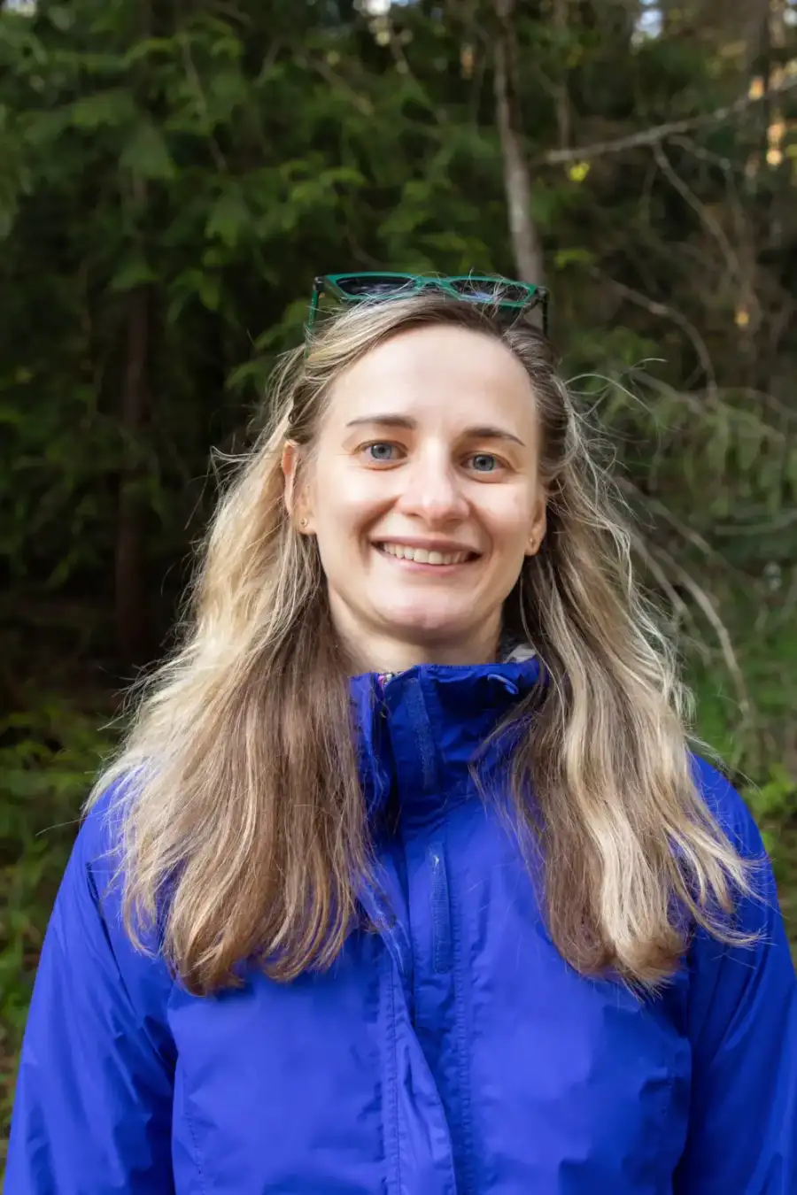
- A private local guide, rooms and campsites booked
- Included
- Airport pickup and every drive
- Included
- Park, permit and campsite fees paid
- Included
- All the gear and the trail meals
- Included
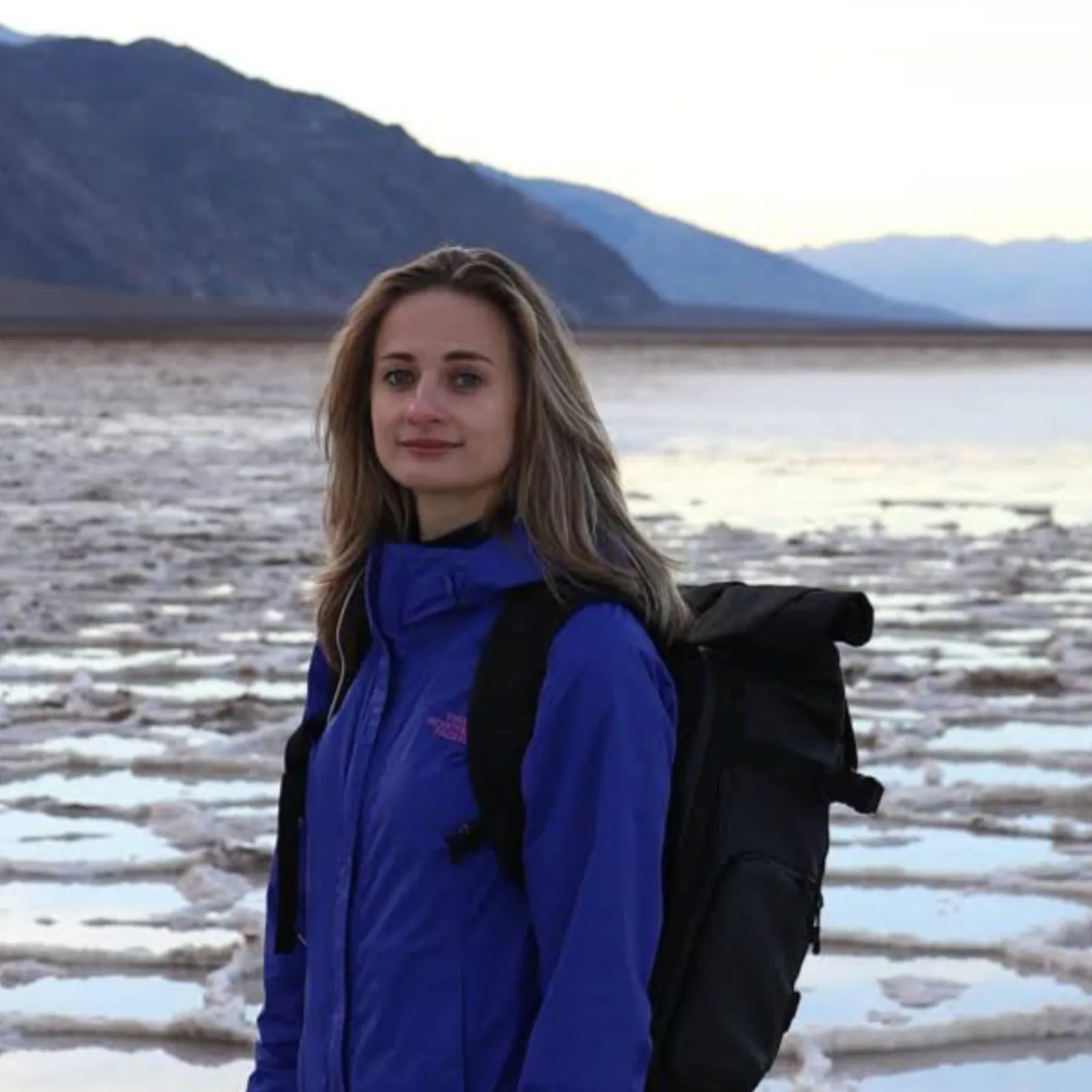
Written and walked by Yulia Vasilyeva · Co-founder · Lead planner and guide
Three years leading guided hikes in the Pacific Northwest, rated 5.0 by 20+ verified guests, and she builds every custom itinerary herself. Based in Seattle.
Last checked September 2026
You might also love these
Other itineraries near this one.

Enchanted Valley Olympic National Park: A 3-Day Backpacking Itinerary
Three days backpacking the Enchanted Valley trail from Graves Creek up the East Fork Quinault River, about 13 miles each way to the…

Stehekin Washington: A 3-Day Itinerary
Three days in one of the most remote communities in the US: ride the Lady of the Lake ferry up a 50-mile fjord, see Rainbow Falls, eat…
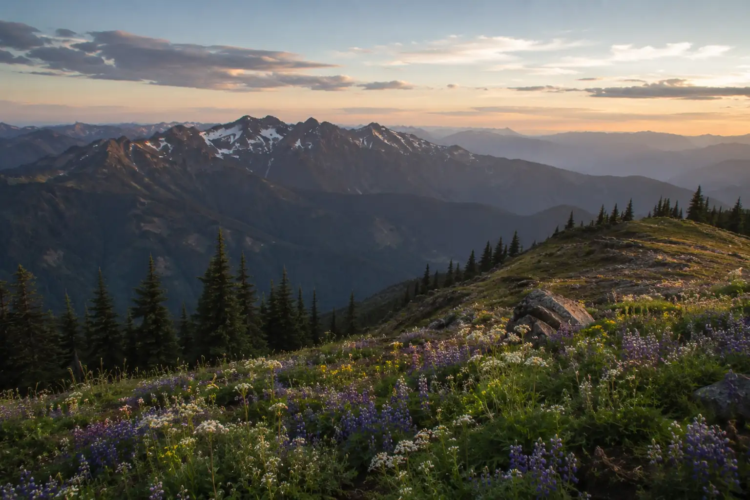
2 Days in Olympic National Park: Hurricane Ridge, Hoh and the Coast
One side of the peninsula done properly: Hurricane Ridge and Lake Crescent, then the Hoh Rain Forest and Rialto Beach, from Seattle by…
Guides for this tripCampgrounds near Mount RainierMount Rainier in FallMt Rainier PhotographyCougar Rock Campground, Mount Rainier
What adventurers say about us.
All reviews are from verified guests. ★★★★★ 5.0 average from 20+ bookings.
"Felt like going out with a really knowledgeable friend who just happens to know everything about the area. No awkward tour-guide energy, just a magnificent day."
"Yulia is an incredible guide. She knew every trail, every viewpoint, and exactly how to pace the day for our group. The photos she took of us were stunning. 100% booking again."
"I was visiting Seattle solo and this was the best decision I made on the trip. Yulia picked me up, had snacks, and took us to a trail I never would have found on my own. Absolute must-do."
"We did this as a couple's trip and it was perfect. Yulia adapted everything to us, our pace, our interests, our photo obsession. The mountain views were unreal."
"Phenomenal experience. Yulia has deep local knowledge and a real passion for the outdoors. She went out of her way to show us the hidden gems tourists never see. Will remember this forever."
"I've done a few guided hikes and this was by far the best. Yulia is warm, funny, and genuinely expert. The trail she chose had the most insane wildflower bloom, we got so lucky."
Fees, reservation windows, shuttle dates and trail closures are planning estimates. Confirm hours, road status and any reservations with the land manager before you go.
What other travelers are saying
Be the first to leave a tip or question for the next traveler.
Was this helpful?
One tap. It goes straight to Yulia and Margarita.
You can't hike it if you can't get the permit.
The best hikes in America run on lotteries that open once a year and sell out in minutes. Every trail runs on its own calendar. Pick the ones you want and we do the watching.
 The WaveCoyote Buttes North · Arizona / UtahPermitLotterybrutal odds
 Half Dome CablesYosemite NP · CaliforniaPermitOpens Mar 1fair odds
 Mt. WhitneyInyo NF · CaliforniaPermitOpens Feb 1tough odds
 Angels LandingZion NP · UtahPermitLotterytough odds
 The SubwayZion NP · UtahPermitLotterytough odds
 Mount St. Helens Summit ClimbGifford Pinchot NF · WashingtonPermitReservationtough odds
How it works
- An email the morning each window opens, never the day after.
- A 14-day heads-up so you can line up your group and dates.
- Win odds and a ranked backup plan for every trail you pick.
Didn't win? We keep watching. We check recreation.gov every day for The Enchantments, Half Dome and Angels Landing, and email you the moment a sold-out date frees up. Cancellations are the second chance most people never hear about.