The Shape of the Island
Vancouver Island runs about 285 miles northwest from Victoria, and almost everyone lives on the sheltered east side. Highway 19 runs up that side. Highway 4 is the only road across to the west coast, and it ends at Tofino and Ucluelet.
That single road matters. When it closes, and it has closed for wildfire and for rockwork at Kennedy Hill, there is no detour. You wait.
Plan the trip as a spine up the east side with two excursions off it: west to Tofino, and inland to Strathcona.
Getting There
- Tsawwassen to Swartz Bay, 1 hour 35 minutes. Vancouver to Victoria, the standard crossing, and the prettiest, threading the Gulf Islands.
- Horseshoe Bay to Departure Bay, 1 hour 40 minutes. North Vancouver to Nanaimo. Better if you are heading straight for Tofino and skipping Victoria.
- Tsawwassen to Duke Point, about 2 hours. Also Nanaimo, and usually the least crowded.
- Coho, Port Angeles to Victoria, 90 minutes, takes vehicles. The natural link if you are combining this with Olympic National Park.
- Victoria Clipper from Seattle, passenger only, about 2 hours 45 minutes.
Reserve the vehicle sailing for July and August. Standby on a summer Friday afternoon can mean three hours in a parking lot.
Day 1: Victoria
Leave the car. The Inner Harbour, the Parliament Buildings, the causeway buskers and the Royal BC Museum are all within a few blocks.
Walk or cycle Dallas Road along the waterfront to Clover Point with the Olympic Mountains across the strait, then up into Beacon Hill Park. Fisgard Lighthouse and Fort Rodd Hill are twenty minutes west if you want a half day out.
Butchart Gardens is 45 minutes north, near the ferry terminal, and it is easiest to fold into your arrival or departure day rather than making a separate trip.
Day 2: The Juan de Fuca Coast
Drive Highway 14 west from Victoria along the strait. It is about two hours to the end.
- Sooke Potholes, a set of deep pools carved into bedrock on the Sooke River. Cold, popular in July.
- China Beach and Mystic Beach, both short forest walks down to sand, with a waterfall onto the beach at Mystic.
- Botanical Beach at Port Renfrew, at the end of the road. A sandstone shelf riddled with tide pools full of urchins, anemones and sea stars, and it only works at low tide. Check the table before you commit two hours of driving.
- Avatar Grove, ten minutes from Port Renfrew on a gravel road, with boardwalks through old-growth red cedar including a famously gnarled one.
The Juan de Fuca Marine Trail runs 47 km along this coast for anyone wanting a serious multi-day walk without the West Coast Trail permit process.
Day 3: North Through the Cowichan Valley
Highway 1 north out of Victoria over the Malahat, with a viewpoint over Saanich Inlet.
Stop in the Cowichan Valley for the wineries and cider, at Chemainus for the murals, and at Coombs for the market with goats living on the roof, which is exactly as advertised.
The one that matters is Cathedral Grove in MacMillan Provincial Park, on Highway 4 west of Parksville. Douglas firs up to 800 years old and 250 feet tall, on flat loop trails either side of the road. Parking is on the shoulder and it is chaotic at midday, so go early or late.
Sleep in Port Alberni or push on to the coast.
Days 4 and 5: Tofino and Ucluelet
Highway 4 from Parksville to Tofino is about three hours of winding road past Sproat Lake and along Kennedy Lake. It is tiring. Do not plan to arrive and then do something.
Pacific Rim National Park Reserve sits between the two towns. Long Beach runs about 10 miles of open sand and surf, and the park's short trails, Rainforest Trail and Schooner Cove, put you into temperate rainforest in twenty minutes. A Parks Canada day pass is required to park anywhere in the reserve.
Ucluelet has the Wild Pacific Trail, a series of connected coastal loops on a headland, and the Lighthouse Loop at the south end is the best short walk on the island's west coast.
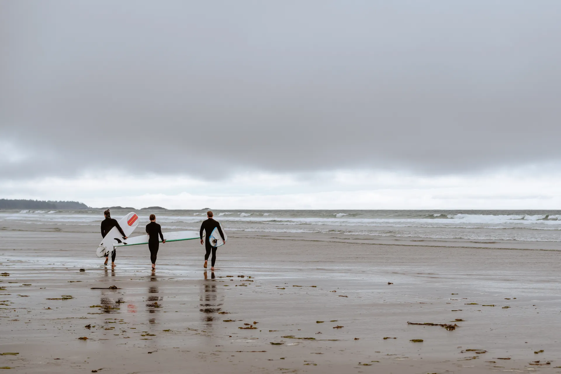
Tofino is the surf town: board rentals and lessons at Cox Bay and Chesterman Beach, whale and bear watching boats, and float trips to Hot Springs Cove, which is a 90-minute boat ride each way to a set of natural pools flowing into the sea. Book that as a full day.
From November to February, storm watching is the reason people come. Winds off the Pacific hit this coast unbroken and the lodges sell rooms on it.
Day 6: Strathcona and Campbell River
Back over Highway 4, then north on 19. Strathcona Provincial Park is the oldest provincial park in British Columbia and holds the island's highest ground.
- Paradise Meadows at Mount Washington, a boardwalk loop through subalpine meadow that is easy, flat and full of wildflowers in late July.
- Elk Falls Provincial Park near Campbell River, with a suspension bridge hanging over a 25-metre waterfall. Under an hour of walking.
- Della Falls, one of the highest waterfalls in Canada, which takes a boat up Great Central Lake and a 16-km hike each way. A trip in itself, not a day stop.
Day 7: Telegraph Cove and the North
Three hours north of Campbell River, Telegraph Cove is a boardwalk village on stilts and the base for Johnstone Strait, where northern resident orcas gather from June through October. Kayak trips and whale boats both run from here, and the odds are as good as anywhere on the coast.
With extra days, keep going to Cape Scott Provincial Park at the northwest tip: San Josef Bay is a 45-minute walk to sea stacks and empty sand, and the full Cape Scott and North Coast Trail country is genuinely remote.
The Big Hikes
West Coast Trail. 75 km from Pachena Bay to Port Renfrew through Pacific Rim National Park Reserve. Ladders, cable cars, tidal shelves and mud. The season runs May 1 to September 30, quotas apply and reservations open months ahead through Parks Canada. Six to eight days.
Juan de Fuca Marine Trail. 47 km, no permit lottery, self-registration. Rougher underfoot than people expect.
North Coast Trail. 43 km at the top of the island, harder and far quieter than the West Coast Trail.
Practical Notes
Distances lie. The roads are two lane and winding. Assume everything takes 25 percent longer than the map says.
Fuel and cell service both thin out north of Campbell River and along Highway 4. Fill up in the larger towns.
Bears and cougars. Black bears are common and the island has one of the densest cougar populations in North America. Store food properly, keep dogs leashed, and travel in a group on quiet trails.
Crossing the border. Passports for everyone, and check what you can bring. Mobile roaming charges apply unless you sort a plan first.
Book ahead. Tofino accommodation in July sells out in spring, and so do the ferries you need to reach it.
Vancouver Island Trip: A 7-Day Itinerary and How to Get There FAQs
Seven is the number that works. Five gets you Victoria and Tofino with a rushed day in between. Ten lets you add the north end, Telegraph Cove and Cape Scott, which most visitors never see.
BC Ferries run from Tsawwassen near Vancouver to Swartz Bay near Victoria in about 1 hour 35 minutes, and from Horseshoe Bay to Nanaimo in about 1 hour 40. From the United States, the Coho car ferry crosses from Port Angeles to Victoria in 90 minutes and the passenger-only Victoria Clipper runs from Seattle.
In July and August, yes, if you are taking a vehicle. Sailings sell out and the standby queue can be two or three boats deep on a Friday. Reservations carry a fee and are worth every cent of it.
For this itinerary, yes. Victoria alone works on foot and transit, but Tofino, Strathcona and the north island have limited bus service and the distances are long.
About five hours for 200 miles. Highway 4 west from Parksville is winding, has a mountain section at Kennedy Hill and is the only road in, so a closure means waiting rather than detouring.
July through September for dry weather, hiking and whale watching. November through February is storm-watching season on the west coast, which is a genuine draw in Tofino and Ucluelet. May and June are green, quiet and wet.
Yes. The worked day-by-day plan is Orcas Island Itinerary: What to Do in 3 Days (3 Days), with the permits, the stays and the drive times already sorted. Tell us your dates and we will put it together for you and confirm what is genuinely open on those days. Asking is free: no card, no deposit, and nothing is held until you say yes.







