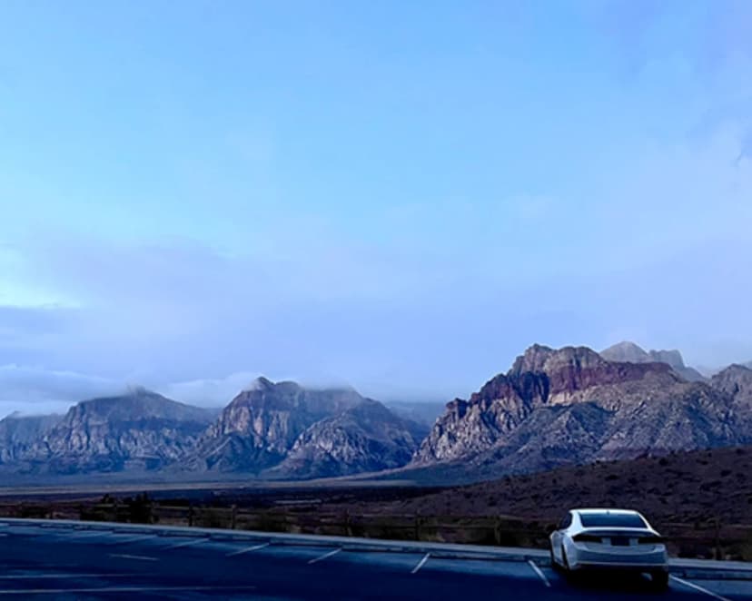
Valley of Fire State Park is Nevada's oldest state park, set about 50 miles northeast of Las Vegas off Interstate 15. The name comes from the 150-million-year-old Aztec sandstone that glows a fierce red and orange at sunrise and sunset. Trails here are short by design, which makes the park a perfect day trip from the city: you can knock out four signature hikes between breakfast and dinner. Here is how to spend a day on foot in the Valley of Fire.
The Fire Wave: The Park's Signature Hike
The Fire Wave is the photo everyone comes for. A 1.5-mile round-trip trail from parking lot number three leads to a bowl of candy-striped sandstone that ripples in bands of red, pink, and cream. The walk is easy but fully exposed, so go early or late in the day. From late May through September the park closes the Fire Wave trail during midday heat for safety, so confirm hours before you drive out.
White Domes and the Slot Canyon
The White Domes Loop at the end of Mouse's Tank Road packs the most variety into 1.25 miles. You will pass a movie set ruin from the 1966 film The Professionals, drop through a genuine slot canyon, and weave among multicolored domes. It is the best single loop in the park if you want a little of everything.
- Fire Wave: 1.5 miles, striped slickrock, the iconic shot
- White Domes Loop: 1.25 miles, slot canyon plus film history
- Mouse's Tank: 0.75 miles to a hidden water pocket past petroglyphs
- Atlatl Rock: short stairs to one of Nevada's best petroglyph panels
Mouse's Tank and Ancient Petroglyphs
The Mouse's Tank trail, also called Petroglyph Canyon, is a flat 0.75-mile walk down a sandy wash lined with rock art left by ancestral Puebloan and Paiute people. It ends at a natural rock basin that holds rainwater for months. It is the easiest hike in the park and the richest in human history, so it is ideal with kids or older travelers.
Driving the Scenic Roads
Even between hikes the driving is the attraction. Mouse's Tank Road is a ribbon of pavement through crimson rock formations, and the pullouts at Elephant Rock and the Beehives take only minutes. Watch for desert bighorn sheep on the cliffs and antelope ground squirrels darting across the road near picnic areas.
Planning Your Day Trip
From Las Vegas, take I-15 north to exit 75 and follow the Valley of Fire Highway east; the drive runs about an hour. There is a per-vehicle entrance fee, and the visitor center has the only reliable water and restrooms, so fill up there. Summer surface temperatures on the slickrock can exceed 120 degrees, making October through April the comfortable window. Bring at least two liters of water per person, a hat, and sunscreen even in winter.
Valley of Fire is the desert centerpiece of our outdoor Las Vegas itinerary, which strings it together with Red Rock Canyon, Mount Charleston, and a Black Canyon kayak day on the Colorado River. Add a stop at the Lost City Museum in nearby Overton if you want to extend the day.
Valley of Fire Hikes FAQs
It is about 50 miles and roughly an hour via Interstate 15 north to exit 75, then east on the Valley of Fire Highway.
The Fire Wave is the park's signature hike, a 1.5-mile round trip to a bowl of red-and-cream striped sandstone.
October through April offers comfortable temperatures. Summers are dangerously hot and the park closes some trails during midday heat.