A Landscape Built from Sandstone Arches
The Red River Gorge holds one of the densest collections of natural sandstone arches in the eastern United States, with more than 100 documented spans carved by millions of years of wind and water into the Corbin sandstone of Daniel Boone National Forest. For a day-hiker, this means you can see several jaw-dropping arches in a single weekend without long approaches. If you want these stops woven into a complete multi-day plan with overlooks and campsites, follow the Daniel Boone National Forest hiking itinerary, which sequences the best arch hikes so you are not backtracking across the Mountain Parkway.
Natural Bridge: The Iconic Span
Natural Bridge sits in the adjacent Natural Bridge State Resort Park and is the most famous arch in the region, a massive sandstone span you can walk across. The Original Trail climbs steeply for about three quarters of a mile to the top, or you can ride the sky lift up and hike down. Go early, because this is the busiest arch in the Gorge and the parking lot fills by mid-morning on fall weekends.
Gray's Arch: A Backcountry Classic
Gray's Arch is one of the largest and most photogenic arches in the national forest, an 80-foot-tall window framed by towering cliffs. The loop from the Gray's Arch trailhead runs roughly 2.5 miles and includes a staircase descent into a cool, fern-filled hollow. Spring and early summer add seasonal seeps and wildflowers to the approach.
- Sky Bridge: a short, easy loop of about one mile that crosses the top of a long arch and circles underneath it, ideal for families and sunset
- Whistling Arch: a quick quarter-mile walk to a wide, low arch, perfect when you are short on time
- Princess Arch: an easy out-and-back near Chimney Top Road with a delicate, graceful span
- Rock Bridge: the only arch in the Gorge that spans flowing water, reached by a one-mile loop past Creation Falls
Auxier Ridge and Double Arch
For a bigger day, the Auxier Ridge to Double Arch area delivers cliff-edge views of Courthouse Rock and Haystack Rock before you reach Double Arch, a stacked formation perched high above the forest. This route is more exposed and strenuous, so carry water and watch your footing near the drop-offs.
When to See the Arches at Their Best
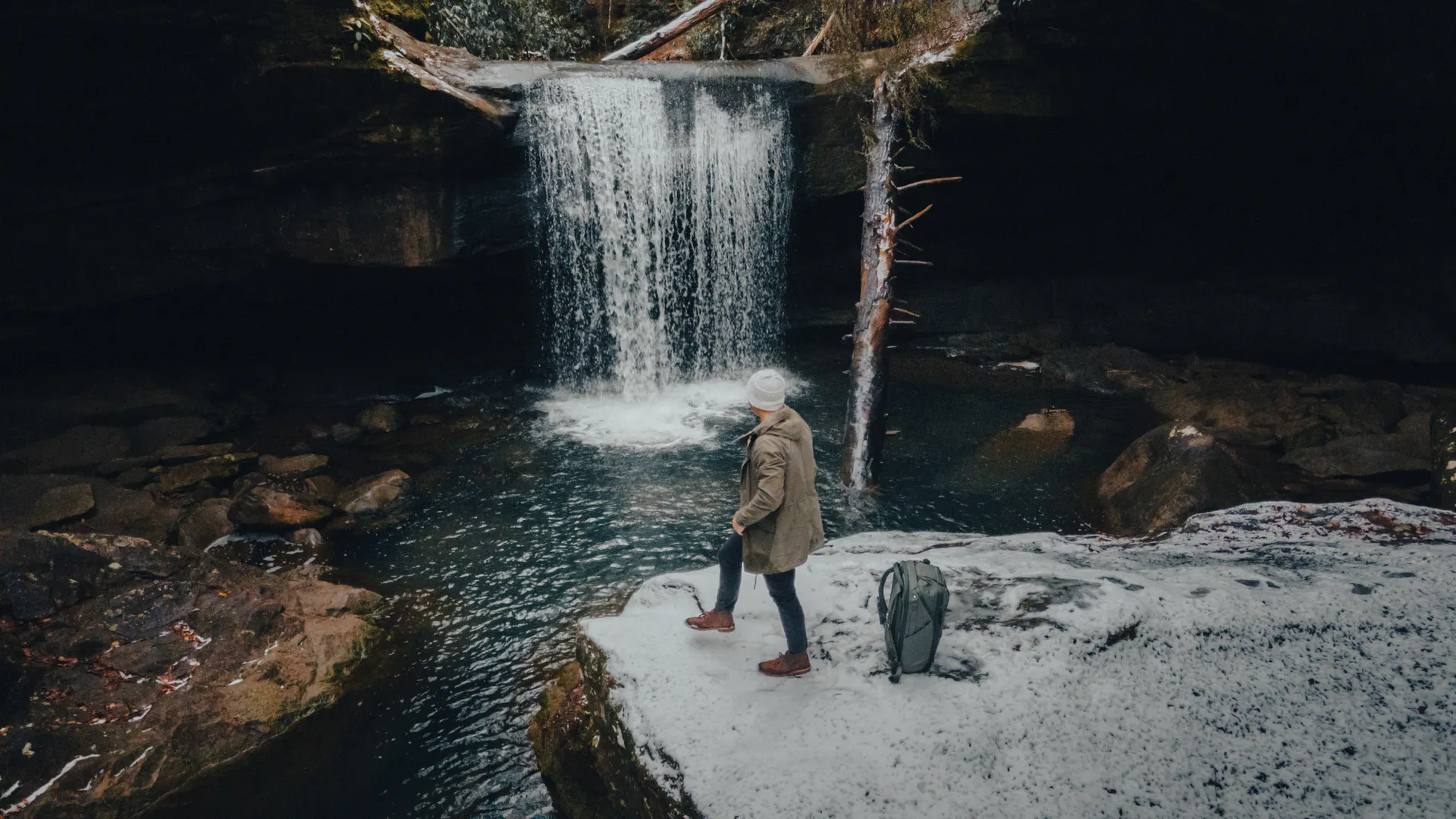
Fall, especially mid to late October, paints the Gorge in red and gold and is the most popular time to visit. Spring brings wildflowers and full waterfalls at Rock Bridge and Creation Falls. Summer is green and humid with afternoon storms, while winter strips the leaves and reveals the full scale of the cliffs and spans.
- Start early: trailhead lots at Natural Bridge and Gray's Arch fill fast in peak season
- Stay back from edges: the sandstone rim crumbles and falls are the leading cause of injury here
- Pack water and a map: cell service is unreliable throughout the Gorge
Making a Loop of It
Because the arches cluster along KY-715 (Sky Bridge Road), Tunnel Ridge Road, and the Natural Bridge area, you can string together Sky Bridge, Princess Arch, and Whistling Arch in one easy day, then save Gray's Arch and Auxier Ridge for a more ambitious second day. Base yourself near Slade or at Koomer Ridge Campground to keep drive times short.
Red River Gorge Natural Arches FAQs
Sky Bridge is the easiest marquee arch, reached by a flat one-mile loop off Sky Bridge Road that lets you walk across the top and underneath it. Whistling Arch and Princess Arch are even shorter walks of about a quarter mile each, making them great quick stops.
The Gray's Arch loop is roughly 2.5 miles round trip from the Gray's Arch trailhead off Tunnel Ridge Road. It includes a staircase descent into a shaded hollow and is rated moderate, so allow about two hours with photo stops.
Natural Bridge is the most famous arch in the area, located in Natural Bridge State Resort Park, which sits right beside the Red River Gorge Geological Area inside Daniel Boone National Forest. Most visitors treat them as one destination and visit both on the same trip.