Daniel Boone National Forest Hiking:
A Red River Gorge Itinerary
Three days of Daniel Boone National Forest hiking in Kentucky's Red River Gorge: the iconic Natural Bridge, Sky Bridge, Auxier Ridge to Double Arch, Gray's Arch, and world-class sandstone climbing.
Free interactive planner · drag & reorder your days, add stops, map it in minutes
Build your own Red River Gorge trip, drag, reorder & map it.
Drag stops between days, swap arch trails, and add your own overlooks and climbing spots with the place search. The live map and drive times recalculate as you go, and we'll warn you before you stack too much into one day on the gorge's twisty back roads.
Opens a side panel · reorder days, add custom stops, see your route live
One gorge, over 100 arches & world-class cliffs, all in eastern Kentucky.
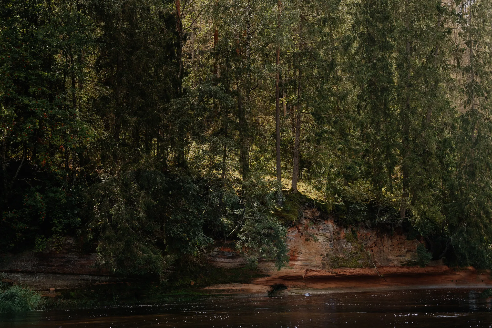
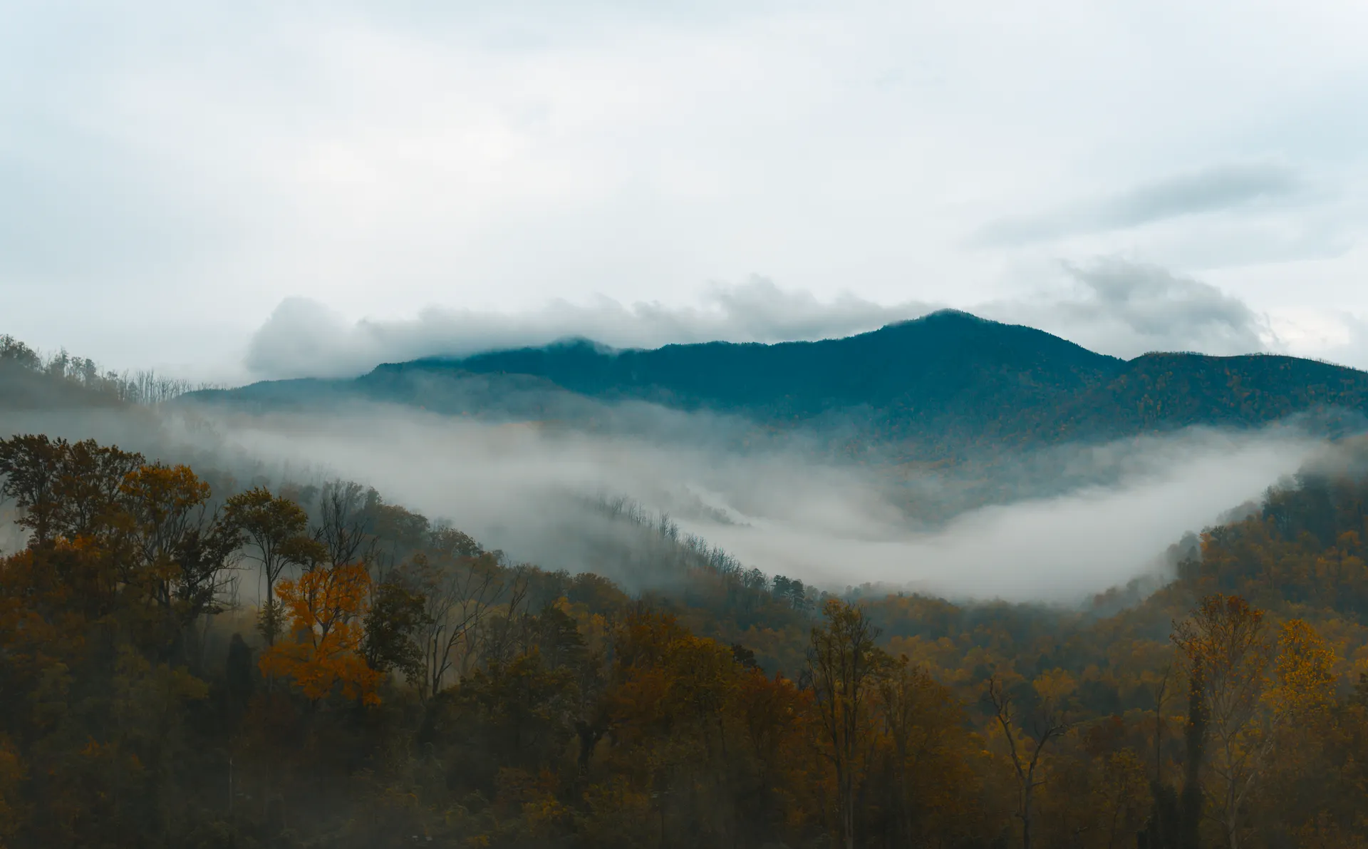
The Red River Gorge Geological Area sits inside the Daniel Boone National Forest in eastern Kentucky, a deep, forested canyon system famous for more than 100 natural sandstone arches and some of the best rock climbing on the planet. Towering cliffs, hidden rockhouses, and ridgeline overlooks pack into a surprisingly compact area, so you can hit several arches in a single day.
This 3-day route is built around Daniel Boone National Forest hiking: the iconic Natural Bridge in the adjacent state park, the easy Sky Bridge loop, the dramatic Auxier Ridge walk out to Double Arch and Courthouse Rock, and Gray's Arch, one of the most photographed in the gorge. You'll also catch Chimney Top Rock, Princess Arch, and the climbing scene at the Red, with an optional guided rappel or sport-climbing day.
Spring and fall are the prime seasons, with the late-October fall color among the best in the South. Summer is green but hot and humid. Year-round, watch your footing near the cliff edges, where the smooth sandstone gets dangerously slick, and give timber rattlesnakes a wide berth on warm rocks.
A Red River Gorge parking and recreation pass is required at many trailheads, so buy one before you set out. Lodging in tiny Slade and Stanton (cabins and the Hemlock Lodge at Natural Bridge State Resort Park) books up fast for fall-color weekends, so reserve early or base in Lexington about an hour away. Cell service is spotty in the gorge, so download your maps first.


Natural Bridge & Sky Bridge · the gorge's signature arches
Drive in to Slade, the tiny gateway town at the heart of the gorge, about an hour east of Lexington (LEX) off the Mountain Parkway. Start at the most famous landmark of all: Natural Bridge, the massive sandstone arch in the adjacent Natural Bridge State Resort Park. Hike up the Original Trail (about 1.5 miles round trip, moderate and steep) or ride the skylift partway, then walk out onto and over the arch for the classic view across the forest.
In the afternoon, head into the gorge proper for the Sky Bridge loop (about 0.9 miles, easy), where you walk over the top of a long natural bridge and then loop beneath it through a shaded rockhouse. It is a perfect, low-effort introduction to the gorge's sandstone. Pick up a Red River Gorge recreation pass before you park at the trailheads.
- ~1.5 mi RT · moderate, steep · or take the skylift partway
- ~0.9 mi loop · easy · walk over and under the arch
- Buy a Red River Gorge recreation passRequired at many trailheads · grab one before you park
- Stay in Slade or StantonCabins and Hemlock Lodge · book early for fall weekends
- A Red River Gorge parking and recreation pass is required at many trailheads. Buy one ahead or at a local store so you are not turned around at the lot.
- The Original Trail up to Natural Bridge is short but steep. If you want to save your legs, ride the skylift up and hike one way.
- Lodging in Slade and Stanton is limited and books up fast for fall-color weekends, so reserve early or plan to drive in from Lexington.

Auxier Ridge to Double Arch & Gray's Arch

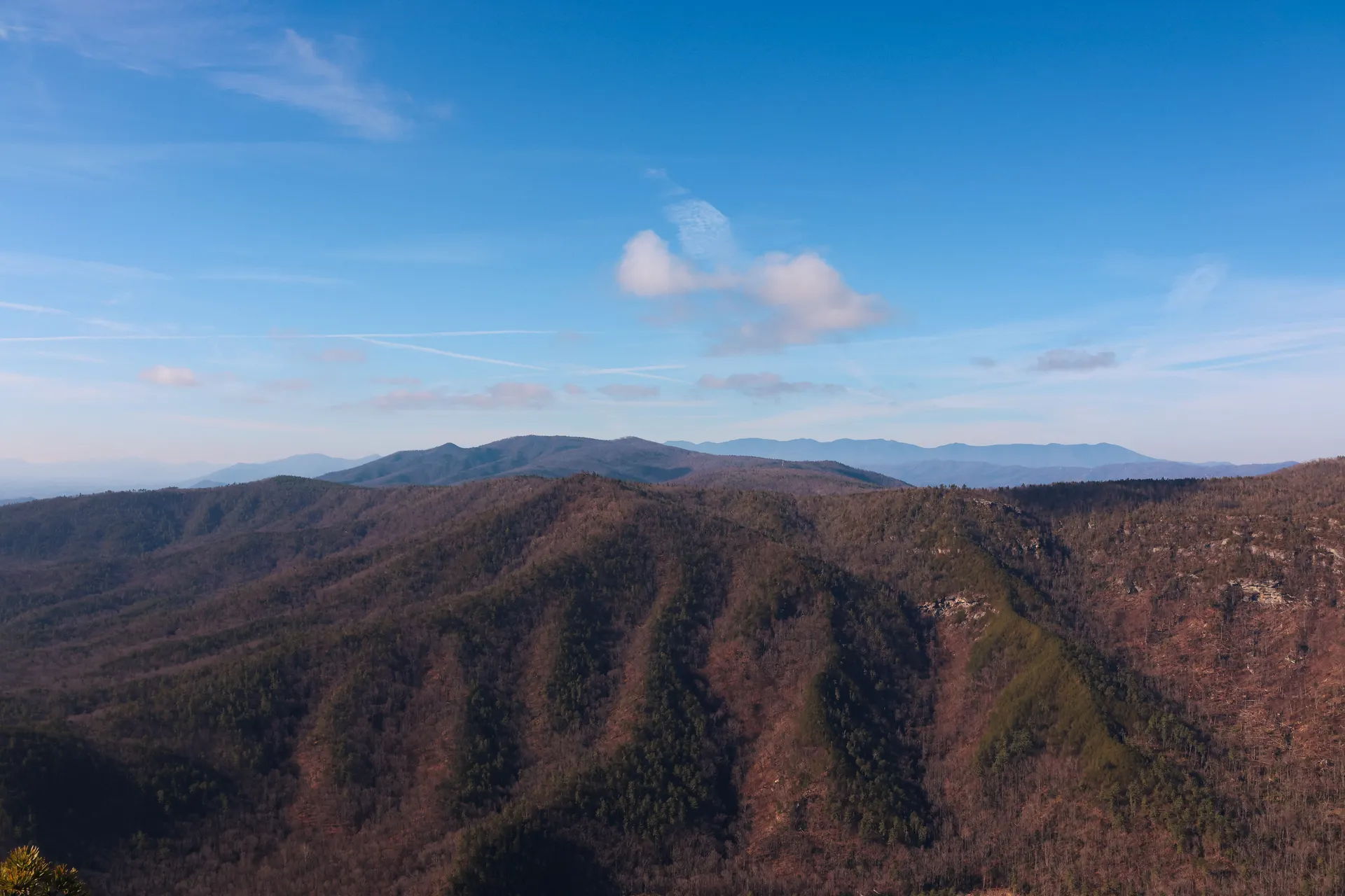
This is the big hiking day. Walk the Auxier Ridge Trail out along a narrow, dramatic ridgeline with open views to Courthouse Rock and Raven Rock, then drop down and connect to Double Arch for a roughly 5.5-mile loop or out-and-back, depending on which trails you link. The ridge is exposed in spots, so take care near the edges where the sandstone is slick and there are no railings.
In the afternoon, hike out to Gray's Arch (about 3.4 miles round trip, moderate), one of the most photographed arches in the gorge, a huge freestanding span set back in a forested amphitheater. If you have time and energy, stretch your legs on a piece of the Rough Trail, the gorge's rugged spine that links many of these features together.
- ~5.5 mi loop · moderate · exposed ridge · slick edges
- ~3.4 mi RT · moderate · huge freestanding arch
- The gorge's rugged spine · links the major features
- Second night in SladeStay put so you can hit the trailheads early
- Auxier Ridge runs along an open, exposed sandstone ridgeline with no railings. Keep well back from the edges, which get dangerously slick when wet.
- Gray's Arch is one of the most photographed in the gorge. The light is best in the late afternoon when it filters into the amphitheater behind the span.
- In warm weather, give timber rattlesnakes a wide berth where they sun on rocks and ledges, and watch where you put your hands on scrambles.
Chimney Top Rock, Princess Arch & climbing the Red
Save the easy overlooks and the climbing scene for the last day. Drive the gorge's winding back roads to Chimney Top Rock, a short walk to a sweeping panoramic overlook of the canyon, then stop at nearby Princess Arch and, if you have time, the Whittleton Arch trail or the airy Cloud Splitter for one more big view. These are short, high-reward stops that string together well on a relaxed final morning.
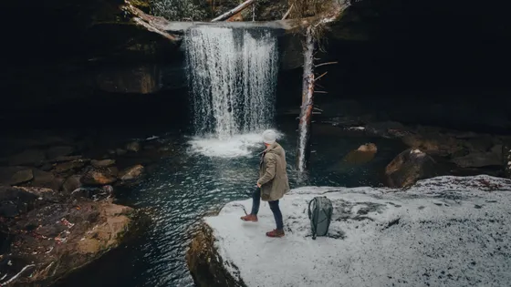
The Red River Gorge, known to climbers simply as the Red, is one of the world's premier sport-climbing destinations, with steep, pocketed sandstone at Muir Valley and crags throughout the gorge. Even if you have never climbed, you can book a guided rock-climbing or rappel day with Red River Gorge Guides to get up on the cliffs safely. Getting home: it is about an hour back to Lexington (LEX), so leave with daylight to spare on the twisty roads.
- Short walk · sweeping panorama of the gorge
- Short trails · easy, high-reward arch stops
- Guided rock climbing / rappel · no experience needed · book ahead
- Getting home: Lexington (LEX)About 1 hr · leave with daylight on the twisty roads
- Chimney Top Rock, Princess Arch, and Whittleton Arch are all short trails, so you can string several together on a relaxed final morning.
- The Red is a world-class sport-climbing area. If you want to climb, book a guided rock-climbing or rappel day with Red River Gorge Guides ahead of time, no experience required.
- It is about an hour back to Lexington on winding gorge roads with patchy cell service. Fuel up and leave with daylight to spare.

Now build your Red River Gorge trip.
You've seen all three days. Open the free drag-and-drop planner and tune it for your dates, your pace, and whether you base in Slade, Stanton, or drive in from Lexington.
What we actually learned in the gorge.
Buy a Red River Gorge recreation pass
A parking and recreation pass is required at many trailheads in the Red River Gorge. Pick one up ahead of time or at a local store so you are not turned away at a full or fee-required lot. Keep it on your dashboard while you hike.
Mind the slick sandstone edges
The gorge's smooth sandstone gets dangerously slick, especially when wet, and most overlooks and arches have no railings. People are injured every year from falls. Keep well back from cliff edges and never let kids run near them.
Go in spring or fall
Spring and fall are the best seasons, with the late-October fall color among the finest in the South. Summer is lush but hot and humid with bugs. Winter is quiet and can be icy on the climbs and steep trails, so check conditions.
Watch for timber rattlesnakes
Timber rattlesnakes live throughout the gorge and sun themselves on warm rocks and ledges in the warmer months. Give them a wide berth, watch where you step and place your hands on scrambles, and keep dogs leashed.
Climb with a guide if you want to try the Red
The Red River Gorge is one of the world's top sport-climbing areas, centered on Muir Valley and crags throughout the gorge. If you are new to it, book a guided climbing or rappel day with Red River Gorge Guides rather than going it alone on the cliffs.
Book lodging early & fuel up
Cabins and the Hemlock Lodge at Natural Bridge State Resort Park fill up fast on fall-color weekends, so reserve early or base in Lexington about an hour away. Cell service is spotty in the gorge, so download offline maps and top off your gas before you head in.
Everything you'll actually want to know.
Ready to go? Get your
Red River Gorge hiking route.
Trailheads and mileages, the recreation pass you need, cabin and lodge bases in Slade, a guided climbing day, and drive times from Lexington so you can hike the Red River Gorge with confidence.
Instant book · Free cancellation · Secure payment via Stripe

Planning this trip?
Save it, share it with your crew, or find travelers heading the same way.

Liked this itinerary?
What other travelers are saying
Be the first to leave a tip or question for the next traveler.