What Makes Olympic Backpacking Different
Olympic National Park packs four wildly different ecosystems into a single peninsula: temperate rain forest, glaciated alpine, sub-alpine meadow, and wilderness coast. That means a single trip, say, three nights, can take you from sea level moss-draped forest to 5,000-foot peaks. The trade-off: weather is famously moody, the rain forest gets twelve feet of rain a year, and permits for the popular zones go fast. Plan early and pack for everything.
If you're trying to fit Olympic into a bigger Pacific Northwest road trip, our 3-day Olympic Peninsula Loop hits the headline overlooks and rain forest as a driving route, these backpacking trips take you off it into the wild interior.
The Permit System in Two Minutes
All overnight trips in Olympic National Park require a wilderness permit issued by the Olympic Wilderness Information Center in Port Angeles. Most zones use a quota from May 15 to October 15: reservations open in mid-April on recreation.gov and the popular ones (Enchanted Valley, Seven Lakes Basin, Ozette/Sand Point) book out within hours. Walk-ups at the WIC are available for less-trafficked zones.
Bring food in an approved bear canister on the coast (required) and in most interior zones (strongly recommended, bear wire is not always reliable). Olympic raccoons and mice are also famously aggressive at coastal camps.
Hoh River Trail (River Valley Classic)
- Distance: 35 miles round trip to Glacier Meadows; shorter overnight options at Five Mile Island (10 RT) or Olympus Guard Station (18 RT)
- Elevation gain: 3,700 ft (to Glacier Meadows)
- Permit zone: Hoh, reservable
- Best season: Late June to mid-October
The Hoh climbs slowly up a moss-cathedral river valley to the snout of Blue Glacier on Mount Olympus. The first 9 miles are flat and dreamy; the last 4 are a serious push up Glacier Meadows hill. Most parties go 2 nights to Olympus Guard or Lewis Meadow and turn around; serious climbers continue to the base of Olympus. Wildlife, Roosevelt elk, black bear, river otter, is dense throughout.
Enchanted Valley (The Most Beautiful Mile in Olympic)
- Distance: 26 miles round trip from Graves Creek Trailhead
- Elevation gain: 1,600 ft
- Permit zone: Quinault / Enchanted Valley, heavily reserved
- Best season: June to early October (snow lingers in shoulder)
A valley meadow ringed by 2,500-foot cliffs running with seasonal waterfalls, the famous "Valley of 10,000 Waterfalls" in early summer. The historic Enchanted Valley Chalet sits at the head of the meadow. Black bear sightings are extremely common in the meadow, especially in late summer when blueberries ripen. Three nights at Enchanted Valley with a side trip up to O'Neil Pass is one of the great trips in the lower 48.
Seven Lakes Basin / High Divide Loop (Alpine Crown)
- Distance: 19 miles loop from Sol Duc Trailhead
- Elevation gain: 3,500 ft
- Permit zone: Sol Duc / Seven Lakes Basin, most-reserved zone in the park
- Best season: Mid-July to mid-September
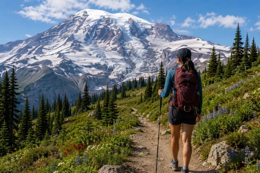
Sub-alpine meadows, blueberry-choked slopes, six (officially seven, kind of) clear alpine lakes, and a high-divide traverse with a constant view of Mt. Olympus. Camp at Heart Lake or Round Lake for the best experience. This is the route people fight for in the April permit lottery; book the moment reservations open or be ready for a walk-up at the WIC.
Ozette Triangle / Wilderness Coast (Beach Backpacking)
- Distance: 9 miles loop (Ozette Triangle) or 18 mi point-to-point (Ozette → Rialto)
- Elevation gain: Minimal, coastal walking
- Permit zone: Wilderness Coast, reservable; bear canister required
- Best season: June to September; check tide tables
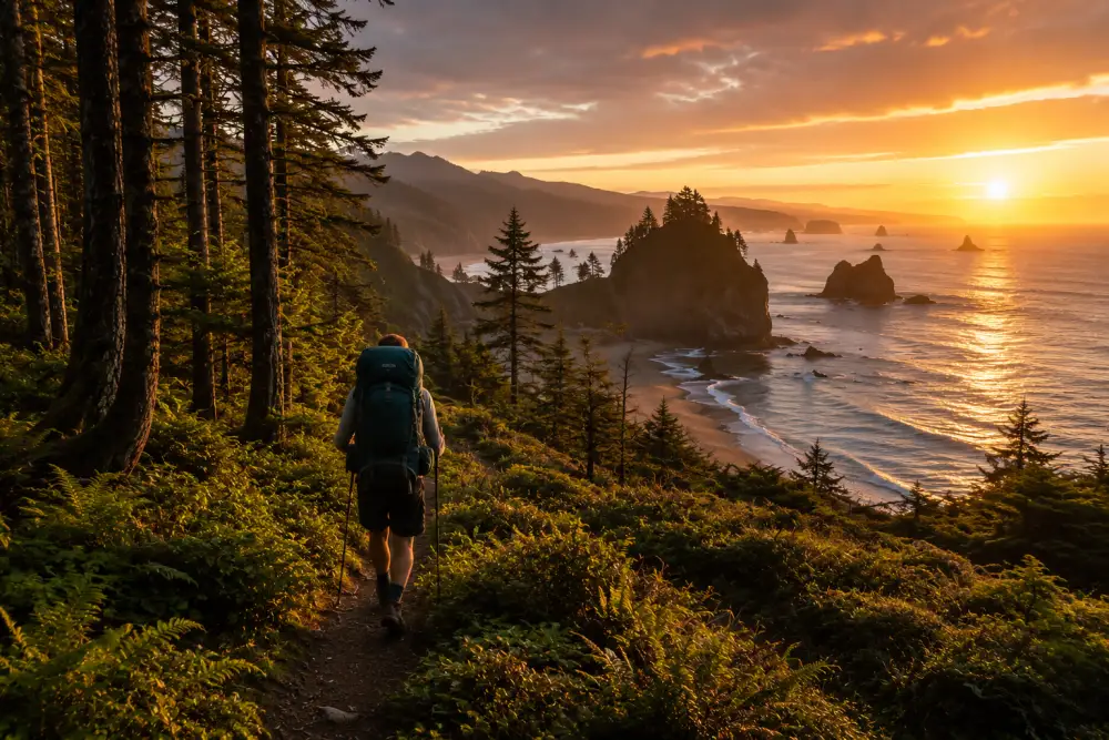
Pacific surf, sea stacks, tide pools, and old-growth forest between the beach and the road. Sections of the coast are passable only at low tide, bring a tide chart and budget around it or you'll be stranded against a headland for hours. The Ozette Triangle (Ozette Lake → Sand Point → Cape Alava → Ozette Lake) is the easiest intro; the full Shi Shi or Ozette-to-Rialto traverse is for stronger parties.
Royal Basin (Wildflower Off-the-Radar Pick)
- Distance: 14 miles round trip
- Elevation gain: 2,700 ft
- Permit zone: Dungeness / Royal Basin, easier to permit than the marquee zones
- Best season: Mid-July to mid-September
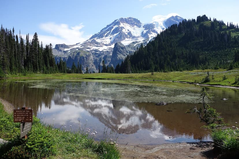
A glacier-carved alpine basin ringed by jagged peaks, two emerald lakes, and the most spectacular August wildflower meadow most people have never heard of. Significantly easier to permit than Seven Lakes Basin, with similar views. Royal Lake itself is the standard camp; Upper Royal Basin has dispersed sites for stronger backpackers.
Grand Valley and Gladys Lake (Short Approach, High Alpine)
- Distance: about 8 to 9 miles round trip from Obstruction Point to Moose Lake and Gladys Lake, with Grand Lake at 3.7 miles one way
- Elevation: descends from about 6,100 feet at the trailhead to 4,700 feet at the lakes, so the climb is on the way out, not the way in
- Permit zone: Grand Valley, a reservable quota zone
- Best season: early to mid-July through September; earlier trips can need an ice axe and self-arrest skills on lingering snow slopes
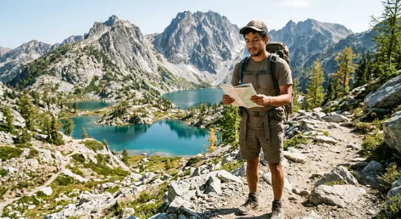
Obstruction Point Road, about 14 miles south of Port Angeles off Hurricane Ridge, gets you to elevation without much walking, so this is the shortest approach to a genuine alpine basin in the park. Grand Lake, Moose Lake, and Gladys Lake sit in a chain below the trailhead. Because you start high and lose elevation going in, remember the return trip is the uphill one, and pace your first day with that in mind.
Gear Checklist (3-Night Olympic Trip)
- Pack: 55–70 L
- Shelter: 4-season-rated rainfly. Anything less will fail in a real Olympic storm.
- Sleep system: 20°F bag, full-length pad with R-value 4+. Even July nights at 4,500 ft can drop to 35°F.
- Rainwear: Hard shell jacket and rain pants. Not optional in Olympic. Pack covers for the pack.
- Footwear: Waterproof mids for the interior; trail runners (with extra socks) for coast.
- Bear canister: Required on the coast, recommended everywhere else.
- Water: Filter, water is abundant; a Sawyer Squeeze or BeFree is plenty.
- Tide chart if you're going coastal.
- 10 essentials including bug net, headlamp + spare, PLB or satellite communicator (cell coverage is non-existent off the highway).
Common Mistakes
- Booking too late. Popular permits open in April and the marquee zones fill in hours.
- Underdressing for rain. Cotton in a 4-day Olympic storm is dangerous, not just uncomfortable.
- Ignoring tides on the coast. People get cliffed-out and need rescue every year. Bring a chart, plan your day around it.
- Hanging food instead of a canister. Olympic black bears (and raccoons) defeat bag hangs.
- Skipping Royal Basin for Seven Lakes. Royal is nearly as scenic, much easier to permit, and far less crowded.
Pair With the Loop
If you can spare a week, do the 3-day Olympic Peninsula Loop as a primer, then add a 3- or 4-night backpacking trip into one of the zones above. The drive shows you the contrast between coast, rain forest, and alpine; the backpack takes you deep into one. For winter visits, see our Olympic Peninsula in Winter guide, and yes, even winter day hikes off the loop are possible if you know where to go.
Olympic Peninsula Backpacking: The Best Multi-Day Routes FAQs
If you can get the permit, the Seven Lakes Basin / High Divide Loop (19 miles, alpine lakes, Mt. Olympus views) is the most-loved trip in the park. If permits are gone, Enchanted Valley (26 mi RT, river valley with cliff waterfalls) and Royal Basin (14 mi RT, wildflower meadow) are nearly as good and easier to book.
Yes. All overnight trips require a wilderness permit from the Olympic Wilderness Information Center in Port Angeles. Most zones go through recreation.gov with a quota system from May 15 to October 15. Reservations open mid-April and popular zones (Enchanted Valley, Seven Lakes Basin) sell out within hours.
Mid-July through mid-September for the alpine zones (Seven Lakes Basin, Royal Basin, High Divide). The river valleys (Hoh, Enchanted Valley) open in late June and stay good through early October. The coast is best June to September; winter coast trips are possible but bring serious storm gear.
Required on the wilderness coast. Strongly recommended in all interior backcountry zones, black bears and raccoons regularly defeat bag hangs in the rain forest. Canisters are available to rent at the Wilderness Information Center.
Plan-it-or-die territory. Several headlands are passable only at low tide and cliff-out at high tide, stranding hikers for hours and triggering rescues every year. Always carry a printed tide chart and time your hike to hit those sections during the falling tide.
Ranked by how hard the permit is to get: Seven Lakes Basin / High Divide Loop is the hardest to book and the most rewarded for it. Enchanted Valley and Royal Basin are close behind in scenery and noticeably easier to reserve. Grand Valley and Gladys Lake, reached from Obstruction Point, gets you into real alpine country with one of the shortest approaches in the park.
Royal Basin sits in the Dungeness zone, reservable on recreation.gov starting in mid-April for the May 15 to October 15 quota season. It is easier to book than Seven Lakes Basin or Enchanted Valley, so it is a good fallback if those sell out, and walk-up permits are sometimes available at the Wilderness Information Center in Port Angeles for less-traveled dates.
Drive to the Obstruction Point trailhead, about 14 miles south of Port Angeles past Hurricane Ridge, then hike the Grand Valley Trail roughly 4 miles, descending from 6,100 feet to about 4,700 feet, to reach Moose Lake and Gladys Lake. The Grand Valley permit zone requires a reservation from recreation.gov in the main quota season.
Yes. The worked day-by-day plan is Olympic Peninsula Loop: 3-Day Drive, with the permits, the stays and the drive times already sorted. Tell us your dates and we will put it together for you and confirm what is genuinely open on those days. Asking is free: no card, no deposit, and nothing is held until you say yes.