Why Mount Washington Demands Respect
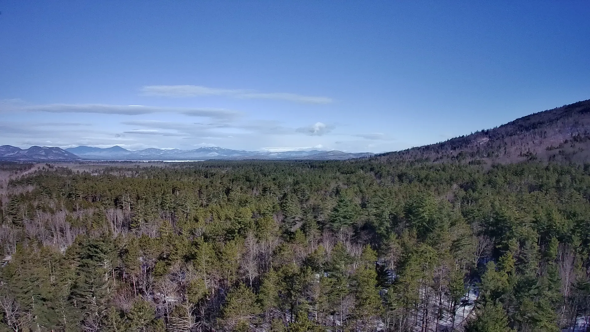
At 6,288 feet, Mount Washington is the highest peak in the Northeast and home to some of the most dangerous weather on the planet. The summit once recorded a wind gust of 231 mph, and snow can fall in any month. Every trail to the top climbs through dense spruce forest before bursting above treeline into an exposed boulder field where the weather can turn from sunny to whiteout in under an hour. Before you choose a route, understand that this is a serious alpine hike, not a casual stroll.
If you want to link this climb into a bigger high-country weekend, Mount Washington is the crown jewel of the Presidential Traverse weekend itinerary, which strings together the entire Presidential Range.
Tuckerman Ravine Trail: The Classic Route
The Tuckerman Ravine Trail from Pinkham Notch is the most famous and most direct hiking route to the summit. It runs about 4.2 miles one way with roughly 4,250 feet of elevation gain. You start at the AMC Pinkham Notch Visitor Center on Route 16, climb gradually to Hermit Lake, then ascend the steep headwall of the glacial cirque itself. The final scramble over the lip of the ravine is hands-on rock.
- Distance: about 8.4 miles round trip
- Gain: roughly 4,250 feet
- Trailhead: Pinkham Notch Visitor Center, Route 16
- Best for: fit hikers comfortable with steep, rocky terrain
In late spring, snow lingers in the ravine and skiers hike up to ride the headwall, so check conditions before counting on a clean trail.
Ammonoosuc Ravine and the Lakes of the Clouds Loop
From the west side near the Cog Railway Base Station, the Ammonoosuc Ravine Trail is widely considered the most scenic ascent. It follows the Ammonoosuc River past waterfalls and cascades before climbing steeply to Lakes of the Clouds Hut at 5,012 feet. From the hut you connect to the Crawford Path for the final push to the summit. Many hikers descend the Jewell Trail to make a satisfying loop, which keeps you off the same steep terrain on tired legs.
Plan for roughly 9.5 miles and 3,800 feet of gain for the full loop. Lakes of the Clouds, run by the Appalachian Mountain Club, is a welcome refuge if weather rolls in.
Lion Head and Winter Variations
The Lion Head Trail branches off the Tuckerman approach and offers a slightly more sheltered alternative that avoids the avalanche-prone headwall. In winter, a dedicated Lion Head winter route becomes the standard mountaineering line to the summit, requiring crampons, an ice axe, and real winter skills. If you are a summer hiker, Lion Head simply gives you a sturdy, well-graded option with big views into the ravine.
Safety, Weather, and the Summit Itself
The single most important thing you can do is check the Mount Washington Observatory higher summits forecast the morning of your hike. Treeline weather is often nothing like the parking lot. Carry layers, wind protection, a map, headlamp, and far more food and water than you think you need. Turn around if clouds drop or wind picks up. Hypothermia is the leading cause of trouble here even in July.
- Start early to beat afternoon thunderstorms
- Pack a warm hat and gloves regardless of the date
- Know the bailout points if weather changes
- Tell someone your route and expected return
The summit holds a surprising amount of activity: the Sherman Adams Visitor Center, the historic Tip Top House, the Cog Railway, and the Mount Washington Auto Road all converge up top. After a long climb you can warm up inside, but do not let the crowds fool you into thinking this is an easy mountain.
Making a Weekend of It
One ascent of Washington is reward enough for many hikers, but the surrounding peaks of Adams, Jefferson, Monroe, and Madison are right there. If you are fit and properly equipped, stringing several of them together over two days delivers one of the great hikes in the eastern United States. Base yourself in Gorham or near Crawford Notch, and use the AMC huts to break up the mileage.


