Why Crabtree Falls Is Worth the Climb
Crabtree Falls is the headline waterfall of George Washington National Forest and the tallest vertical-drop cascade east of the Mississippi River, tumbling roughly 1,200 feet down the slopes of the Blue Ridge near the small Nelson County community of Montebello. Unlike a single curtain of water, Crabtree is a chain of five major cascades and dozens of smaller ones, each with its own overlook. The trail rises steadily through hemlock and hardwood forest beside the rushing Crabtree Creek, so you are never out of earshot of moving water. If you are stitching together a longer trip, this fits naturally into a George Washington National Forest hiking itinerary alongside Big Schloss and Reddish Knob.
The Trail at a Glance
The most popular route runs from the lower parking area on Route 56 up to the upper trailhead near the Blue Ridge Parkway. Most visitors hike to the highest overlook and turn around, making for a moderate out-and-back. Plan your day around these numbers:
- Distance: about 2.7 miles round trip to the top overlook, or 3.4 miles point to point if you arrange a shuttle
- Elevation gain: roughly 1,000 feet, almost all of it climbing
- Difficulty: moderate, with a graded gravel surface low down that turns rocky higher up
- Time: two to three hours for a relaxed round trip with photo stops
The lower third is the easiest and most accessible, with a paved approach and a viewing platform reachable by nearly everyone. Above that, switchbacks tighten and the rock gets slick from constant spray.
The Five Cascades and Best Overlooks
The reward of Crabtree is variety. As you climb you pass distinct overlooks framing different sections of the falls. The lower platforms catch the wide, fanning drops that photograph beautifully in soft morning light, while the upper overlooks deliver the long-view perspective down the entire mountain. The very top viewpoint, just before the trail meets the upper lot, looks back across the Tye River valley toward the ridges of the Religious Range. Bring a lens cloth, because mist drifts well beyond the railings.
Staying Safe on Wet Rock
Crabtree Falls has a sobering safety record. Multiple deaths over the decades have come from one mistake: climbing over the railings onto the wet rock to get closer or to pose for a photo. The granite stays coated in algae and spray, and a slip on the steep faces is almost always unrecoverable. Follow these rules without exception:
- Stay behind every fence and on the marked tread
- Keep children within arm's reach at the overlooks
- Wear shoes with real tread, not sandals, because the upper trail is genuinely rocky
- Turn around early if a thunderstorm builds, which it often does on summer afternoons in the Blue Ridge
Parking, Fees, and When to Go
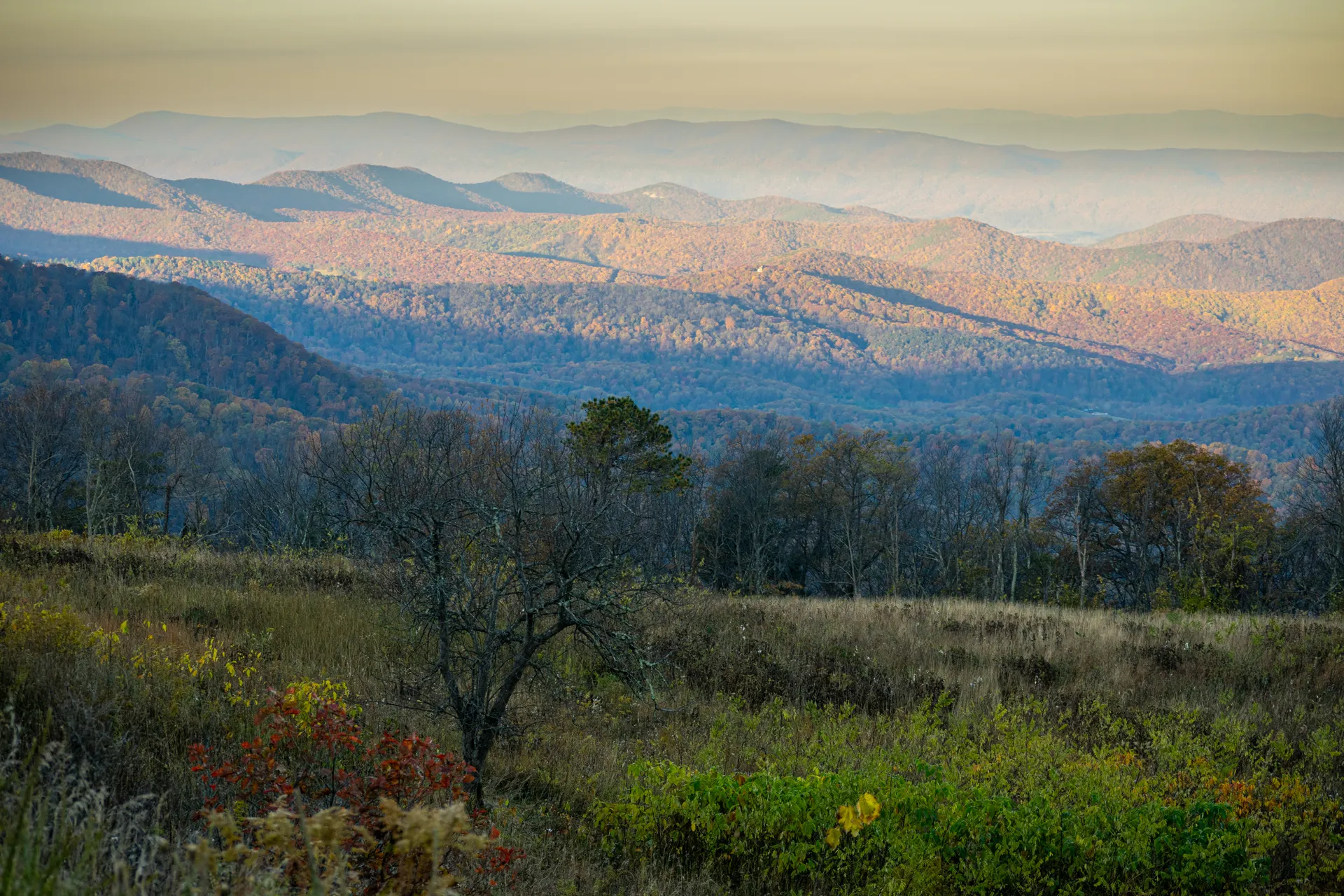
The lower lot off Route 56 charges a small day-use fee, payable at the kiosk, and fills early on summer weekends and during peak fall color. The forest service maintains restrooms at the trailhead. Spring brings the heaviest water flow as snowmelt and rain feed the creek, while October paints the surrounding maples and oaks in deep reds. Winter visits are stunning when the falls partially freeze, but the upper trail can be treacherous with ice and is sometimes best skipped. Arrive before 9 a.m. in fall to get a spot and to have the overlooks largely to yourself.
Where to Base Yourself
Tiny Montebello sits minutes from the trailhead and has a country store and campground. For more options, the towns of Lexington and Staunton are within an hour and put you near other George Washington National Forest highlights. Many travelers pair Crabtree with a drive up to Reddish Knob or a ridge walk to the Big Schloss outcrop, turning a single waterfall hike into a full Appalachian weekend.


