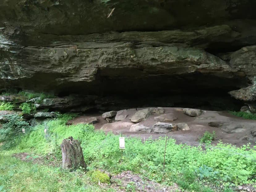
The Bitterroot National Forest wraps around the Idaho-Montana border with more than a million acres of camping options, from paved-loop family campgrounds at the mouth of granite canyons to remote backcountry sites in the heart of the Selway-Bitterroot Wilderness. Knowing the difference between these zones will save you a long drive and keep you on the right side of wilderness rules.
Drive-Up Campgrounds Near Hamilton
Most travelers base out of the Bitterroot Valley towns of Hamilton, Darby, and Stevensville. Several developed campgrounds sit right at the trailheads that feed the wilderness:
- Blodgett Camp: A small first-come campground at the famous Blodgett Canyon trailhead west of Hamilton. Shaded, creekside, and the best launch point for a granite day hike.
- Lake Como: A larger reservoir campground near Darby with swimming, boating, and a lakeshore loop trail. Reservable in summer and the most family-friendly option.
- Charles Waters: Near Stevensville in Bass Creek Canyon, with interpretive trails and easy access to Bass Creek itself.
These fill on summer weekends, so reserve through Recreation.gov where allowed or arrive early on Thursday for first-come sites.
Dispersed Camping in the National Forest
Outside the wilderness boundary you can camp for free on most Forest Service land as long as you follow Leave No Trace and the 16-day stay limit. Good corridors include the upper West Fork Road toward Painted Rocks and the side roads off Highway 93. Pack a shovel, camp at least 200 feet from water, and check for seasonal fire restrictions, which are common from July onward.
Backcountry Camping in the Selway-Bitterroot
Once you cross the wilderness boundary, the rules change. No mechanized travel, no permits required for general overnight camping, and a strong ethic of self-reliance. The granite canyons, the Bitterroot Divide, and the alpine lakes off Canyon Creek all offer stunning tent sites, but you earn them on foot. If you want a planned route through this terrain, our Selway-Bitterroot backpacking itinerary maps out where to camp each night across a five-day traverse.
Bear Safety and Food Storage
This is grizzly and black bear country. The Bitterroot National Forest has food storage requirements in many areas, meaning all food, garbage, and scented items must be hung at least 10 feet up and 4 feet out, or stored in a bear-resistant container or hard-sided vehicle. Carry bear spray, cook well away from your tent, and never leave a cooler on a picnic table overnight.
When to Go and What to Expect
Valley campgrounds open as early as May and run into October, while high backcountry sites stay snow-covered until late June or July. Summer days are warm and dry, but afternoon thunderstorms build over the divide. Nights cool off fast at elevation, so pack a warm bag even in August. Wildfire smoke can settle into the valley in late summer, so check air quality before a long stay.
Quick Planning Checklist
- Permits: None for general backcountry camping, but campground reservations help in peak season.
- Water: Filter everything from creeks and lakes.
- Fire: Check current restrictions; they are frequent mid-summer.
- Maps: Carry the Bitterroot National Forest map and a topo for any wilderness route.
Camping in the Bitterroot National Forest FAQs
No permit is required for general overnight backcountry camping. You must follow Leave No Trace, food storage rules, and any seasonal fire restrictions, and motorized or mechanized travel is prohibited inside the wilderness.
Blodgett Camp at the Blodgett Canyon trailhead, Lake Como near Darby, and Charles Waters near Stevensville are the most popular developed campgrounds for accessing the Bitterroot Mountains.
Yes, free dispersed camping is allowed on most Forest Service land outside the wilderness, subject to a 16-day stay limit, Leave No Trace practices, and any active fire restrictions.