North Cascades National Park has one of the shortest practical seasons of any major national park in the Lower 48. Snow buries the high country for much of the year, and the road that strings the park together closes entirely in winter. Knowing how the seasons unfold here will save you a long drive to a gated highway or a snowed-in trailhead.
Summer (July to mid-September): Peak Season
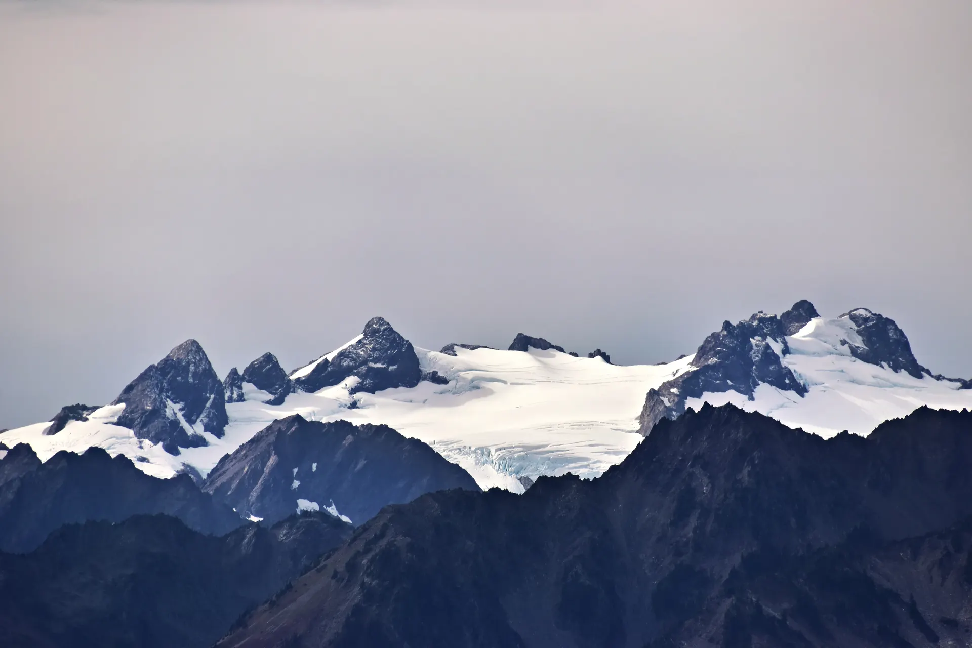
For most visitors, mid-July through August is the answer. By then the snow has melted off the high passes, wildflowers carpet the meadows at Cascade Pass and Maple Pass, and long daylight hours make big mileage possible. Daytime temperatures along the North Cascades Highway are usually comfortable, in the 70s, though high camps like Sahale Glacier Camp can drop below freezing at night. This is also the best window for backpacking, which is why our North Cascades backpacking itinerary is built around late summer conditions.
Fall (late September to October): Larch Season
The single most photogenic stretch of the year is the golden larch season, when the alpine larches around Maple Pass, Heather-Maple, and the Cutthroat Pass area turn brilliant gold for a week or two in late September and early October. Weekends during this window draw the heaviest crowds of the entire year, so plan to arrive at trailheads before sunrise. Early storms can arrive any time in October, so watch the forecast closely.
Spring (May to June): Transition
Spring is a gamble. The crucial milestone is the reopening of State Route 20, the North Cascades Highway, which the Washington State Department of Transportation closes every winter and typically reopens sometime in spring once avalanche danger drops and crews clear the snow. Until it opens, you cannot drive between the west and east sides of the park. Even after the road opens, high trails stay buried in snow well into July. Lower hikes near Diablo Lake and along the rivers are your best bet in this window.
Winter (November to April): Closed Highway
Once SR 20 closes for the season, the heart of the park becomes inaccessible by car. The road is gated near Ross Lake on the west and beyond Mazama on the east. Winter visits are limited to snowshoeing and backcountry skiing for the well-prepared, with no services and no through-traffic.
Quick Month-by-Month Snapshot
- May to June: Road may still be closed; lower trails only; waterfalls running high.
- July: High passes melting out; wildflowers begin; great backpacking starts.
- August: Peak hiking weather; longest reliable window; busy trailheads.
- Late September to early October: Golden larches; biggest crowds; cooling nights.
- November to April: SR 20 closed; the park core is effectively shut to cars.
Planning Around the Highway
The biggest scheduling factor is always the highway. Check WSDOT for the current SR 20 status before you commit to travel dates, especially in spring and late fall. Always pack layers no matter the month, because weather in these mountains turns fast and a sunny pass can be socked in by afternoon. Fill your gas tank and download maps before Marblemount, since services and cell coverage disappear once you enter the park corridor.


