Shenandoah River Map: Forks, Float Sections & Access Points
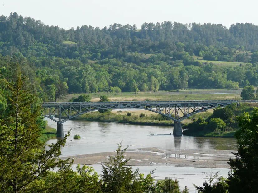
The Shenandoah River has two forks, the South Fork and the North Fork, that run north up the Shenandoah Valley and join at Front Royal, Virginia. From there the main stem flows about 55 miles northeast to Harpers Ferry, West Virginia, where it meets the Potomac. It is mostly gentle Class I water, popular for tubing, canoeing, kayaking, and some of the best smallmouth bass fishing in the mid-Atlantic.
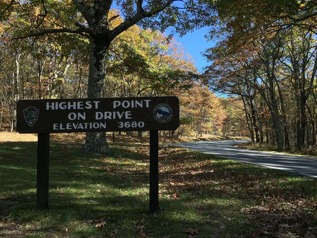
Searching for a Shenandoah River map usually means one of two things: you are planning a float, tube, or fishing trip and need the put-ins and take-outs, or you are trying to picture how the river relates to Shenandoah National Park. This guide covers both. The river runs through the valley floor, while the park sits on the Blue Ridge above it, so a classic weekend pairs a morning paddle on the river with an afternoon hike on Skyline Drive.
How the Shenandoah River is laid out
Think of the river as a wishbone. Two long forks come up the valley from the south and meet at the top:
- South Fork Shenandoah: The paddling and fishing favorite. It winds north through the Page Valley past Elkton, Shenandoah, Luray, and Bentonville, hemmed in between the Blue Ridge and Massanutten Mountain. Gentle current, long pools, and the best smallmouth bass water on the system.
- North Fork Shenandoah: The quieter, more remote fork. It flows through the western valley past Mount Jackson, Woodstock, and Strasburg, including the famous Seven Bends, a series of tight meanders below Woodstock.
- Main stem (Front Royal to Harpers Ferry): The two forks join at Front Royal to form the main Shenandoah River, which runs about 55 miles northeast through Warren and Clarke counties and into West Virginia, ending at the Potomac confluence at Harpers Ferry.
Shenandoah River access points map
These are the most-used public and outfitter access points, from south to north. Always confirm current launch fees, shuttle times, and river levels with the outfitter or state park before you go.
| Access point | Section | Best for |
|---|---|---|
| Luray landings (Shenandoah River Outfitters) | South Fork | Tubing, canoe day trips, smallmouth fishing |
| Shenandoah River State Park, Bentonville | South Fork | Car-top launch, camping, riverside trails |
| Seven Bends State Park, Woodstock | North Fork | Quiet float, paddling the meanders |
| Front Royal (forks confluence) | Start of main stem | Outfitter shuttles, day trip from DC |
| Castleman's Ferry, Berryville (Rt 7 bridge) | Main stem | Popular put-in for the run to Harpers Ferry |
| Harpers Ferry, WV (Potomac confluence) | Main stem take-out | The Staircase rapids, experienced paddlers |
Open the Shenandoah River in Google Maps to see the forks, the Front Royal confluence, and each landing in relation to Skyline Drive and I-66.
What to do on the Shenandoah River
- Tubing and easy floats: The South Fork around Luray and Bentonville is the classic lazy-river tube run. Outfitters rent tubes and run shuttles from spring through early fall.
- Canoeing and kayaking: Most of the river is Class I with occasional riffles, which makes it beginner-friendly. The one advanced stretch is the Shenandoah Staircase near Harpers Ferry.
- Smallmouth bass fishing: The South Fork and main stem are legendary smallmouth water. Float fishing from a canoe or kayak covers the most productive runs. A Virginia freshwater fishing license is required.
- Pair it with the park: Base in Luray or Front Royal, paddle in the morning, then drive up into Shenandoah National Park for an afternoon on the Appalachian Trail or Skyline Drive.
When to go
Late spring through early fall is the sweet spot: warm water for tubing, prime smallmouth season, and reliable outfitter shuttles. Water levels matter most on the North Fork and the upper South Fork, which can run thin in a dry late summer. After heavy rain, check gauge levels and skip the Staircase near Harpers Ferry until flows drop back into a safe range.
Map of the Shenandoah River: Forks, Floats & Access Points FAQs
No. They are two different places that share a name. Shenandoah National Park sits high on the Blue Ridge, and its trails and Skyline Drive run along the ridgeline. The Shenandoah River flows through the valley floor below the park, between the Blue Ridge and Massanutten Mountain. You hike in the park and you paddle, tube, or fish on the river.
The Shenandoah River has two forks. The South Fork and the North Fork run north through the Shenandoah Valley and meet at Front Royal, Virginia, where they form the main stem. From Front Royal the main stem flows about 55 miles northeast to Harpers Ferry, West Virginia, where it joins the Potomac River.
On the South Fork, Shenandoah River State Park near Bentonville and the outfitter landings around Luray are the most popular launches for tubing and smallmouth bass fishing. On the North Fork, Seven Bends State Park near Woodstock offers car-top access. On the main stem, Castleman's Ferry near Berryville and the takeout at Harpers Ferry are the classic put-in and take-out points.
Yes. Most of the Shenandoah is gentle Class I flatwater with occasional Class I to II riffles, which makes it excellent for tubing, canoeing, and beginner kayaking. Outfitters in Front Royal, Luray, and Bentonville rent tubes, canoes, and kayaks and run shuttles. The one exception is the Shenandoah Staircase, a set of Class II to III ledges near the confluence at Harpers Ferry that is better suited to experienced paddlers.
Yes. The South Fork and main stem are among the best smallmouth bass rivers in the mid-Atlantic, and the river also holds sunfish, catfish, and musky. A Virginia (or West Virginia below Harpers Ferry) freshwater fishing license is required. Late spring through fall is prime smallmouth season, and float fishing from a canoe or kayak covers the most water.
The Front Royal access point, where the two forks meet, is about 70 miles and 1.5 hours from Washington DC by way of I-66. That makes the northern Shenandoah River and the adjacent national park an easy day trip or weekend from the DC area, with Dulles (IAD) the closest major airport.
Yes. The worked day-by-day plan is Appalachian Trail in Shenandoah: 3-Day Itinerary + Best Day Hikes (3 Days), with the permits, the stays and the drive times already sorted. Tell us your dates and we will put it together for you and confirm what is genuinely open on those days. Asking is free: no card, no deposit, and nothing is held until you say yes.