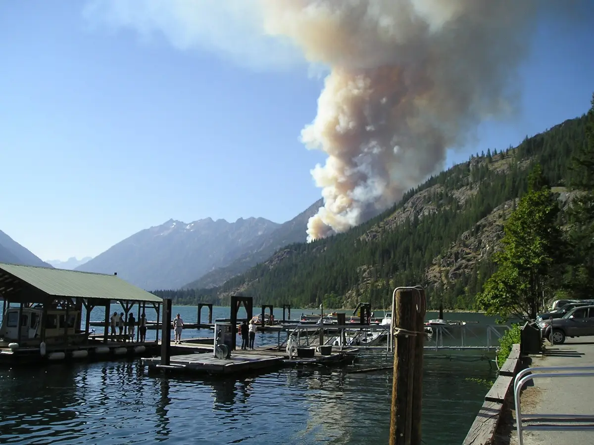
Stehekin is one of the most remote communities in the lower 48, and that is the whole point. There is no road connecting it to the outside world. To reach this village at the head of Lake Chelan you have exactly three choices: take a boat, fly in by floatplane, or hike. Each shapes your trip differently, so here is how they compare.
The Lady of the Lake Ferry: The Classic Route
Most visitors arrive on the Lady of the Lake passenger ferry, which departs from the town of Chelan (and a stop at Fields Point Landing) and runs the full 50-mile length of the lake. Two main services operate: the Lady of the Lake II, a slower boat that takes about four hours each way with scenic stops, and the faster Lady Express, which makes the run in roughly two and a half hours. Many travelers take the express up and the slow boat back, or vice versa, to balance time and views. The ride itself is the experience, gliding past pine-covered slopes that climb into the North Cascades as the lake narrows into a true fjord.
Floatplane: The Fast Option
If time is tight or you want a thrill, a floatplane flies from Chelan to the Stehekin landing in about 30 minutes. It costs more than the ferry but turns a half-day journey into a short flight with aerial views of the lake and surrounding peaks. Floatplane seats are limited and weather dependent, so book ahead and build in flexibility. Some visitors fly one direction and take the ferry the other to see Lake Chelan from both the water and the air.
Hiking In
Backpackers can reach Stehekin entirely on foot. The valley connects to a network of North Cascades trails, and it is a well-known resupply point for Pacific Crest Trail thru-hikers, who ride the shuttle down to the bakery and store. Popular routes come over passes from the Cascade River and Lake Chelan areas. Hiking in is serious backcountry travel requiring permits, planning and fitness, but it is the most immersive way to arrive.
Getting Around Once You Arrive
There are no rental cars in the conventional sense and only a few miles of road in the valley. Once you land:
- The National Park Service shuttle bus runs up the valley road to trailheads, Rainbow Falls and High Bridge on a set schedule.
- Bicycle rentals are available near the landing and are perfect for the flat ride to the Stehekin Pastry Company.
- Walking covers the landing area, the visitor center and lakeshore trails easily.
Planning Your Timing
Because the ferry and floatplane run on fixed schedules and thin out in shoulder season, your transportation determines your whole itinerary. Confirm departure times before you go, since missing the last boat means an unplanned overnight. Summer offers the fullest schedule, while late September service drops off sharply. For a day-by-day plan that builds around the ferry, see our complete Stehekin itinerary.
What to Pack for the Journey
There is no cell service and no ATM in Stehekin, and supplies are limited and pricey. Bring cash, any medications, and what you need before you board. Pack layers for the boat deck, which can be cool and breezy even on warm days, and keep your camera handy because the run up the lake is the most photogenic part of the trip.
How to Get to Stehekin: Ferry, Floatplane and Trail Options FAQs
No. Stehekin has no road connecting it to the outside world. You can only reach it by the Lady of the Lake ferry on Lake Chelan, by floatplane, or by hiking in on backcountry trails.
The faster Lady Express makes the 50-mile run in about two and a half hours, while the slower Lady of the Lake II takes around four hours each way with scenic stops. Many visitors take one each direction.
Only barely. There are just a few miles of road in the valley and no traditional car rentals. Visitors get around on the National Park Service shuttle bus, rented bicycles, or on foot.






























