Glacier National Park to Banff Road Trip: Route, Distance, and Border Tips
The drive from Glacier National Park in Montana to Banff in Alberta is roughly 250 to 300 miles and takes about 4.5 to 6 hours, not counting the border wait. You cross into Canada at either the Roosville crossing on US Highway 93 north of Eureka, Montana, which is open all year, or the seasonal Chief Mountain crossing near Waterton Lakes National Park. You need a passport, and the most scenic version of the trip pairs a few days in Glacier with 3 to 4 days in Banff. Keep in mind that Going-to-the-Sun Road and the Chief Mountain crossing are both seasonal.
Two of the most spectacular mountain parks in North America sit surprisingly close together, which is why the Glacier National Park to Banff road trip is such a natural pairing. Below we answer the questions travelers ask most: how far from Glacier National Park to Banff, how long the drive from Glacier National Park to Banff takes, which border crossing to use, and how to structure a Banff Glacier trip so you get the best of both parks. If you want the reverse, the same route works as a Banff to Glacier National Park road trip in the other direction. When you are ready to lock in the details, our Banff National Park itinerary and our Glacier National Park itinerary map out the days on each end.
How far is Glacier National Park from Banff?
The distance from Glacier National Park to Banff is roughly 250 to 300 miles, or about 400 to 480 kilometers, depending on where you start inside Glacier and which border crossing you use. A start from the east side of Glacier near St. Mary or Many Glacier tends to fall toward the shorter end, while a start from West Glacier on the park's west side runs a bit longer. In practical terms it is a single day of driving, not a multi day slog, with plenty of room for photo stops and a lunch break along the way.
How long is the drive from Glacier National Park to Banff?
Expect about 4.5 to 6 hours of actual driving, plus the border crossing. That crossing is the wild card. At a quiet moment you might clear it in minutes, and at a busy summer afternoon it can take an hour or more, so build in a buffer. Add the scenic detours and meal stops most people want to make, and the drive from Glacier National Park to Banff comfortably fills a full day. Starting early gives you margin for the border and gets you into Banff with daylight to spare.
The two border crossings
Because you are traveling from Montana into Alberta, Canada, your route is shaped by which international border crossing you take.
- Roosville (US Highway 93, north of Eureka, Montana): Open 24 hours a day, year round. This is the dependable choice and the one to plan around outside of summer. It sits west of Glacier and feeds a straightforward highway run north toward the Banff area.
- Chief Mountain (near the northeast corner of Glacier): This crossing connects Glacier to Waterton Lakes National Park and is the more scenic option, but it is seasonal and closed in winter, typically open only from around late spring through early fall. Confirm its status before you rely on it.
You need a passport
This is an international trip, so every member of your party needs a valid passport or an accepted alternative such as an enhanced driver's license or a NEXUS card, and children need their own documents. Check that everything is current well before departure, confirm any visa requirements for your nationality, and read up on what you can and cannot bring across the border, including rules on fresh food, alcohol, and pets. A few minutes of prep here saves a lot of stress at the booth.
The scenic route past Waterton Lakes
If the timing works, the prettiest way to make the trip is up the east side of Glacier and across the Chief Mountain crossing into Waterton Lakes National Park. Glacier and Waterton together form the Waterton Glacier International Peace Park, the world's first international peace park, and the landscape flows seamlessly from one side of the border to the other. From Waterton you carry on north through the rolling Alberta foothills toward Banff. Remember that this route depends on the seasonal Chief Mountain crossing being open. When it is closed, the Roosville crossing on the west side is your year round path.
How to split your days: Glacier plus Banff
A Banff Glacier trip works best when you give each park room to breathe. A reliable structure looks like this:
- Glacier National Park (a few days): Drive Going-to-the-Sun Road, tackle a signature hike or two, and soak up the east side lakes. Note that Going-to-the-Sun Road is seasonal and usually fully open only from about late June or July into September.
- Travel day: Cross the border, ideally in the morning, and settle into Banff by evening.
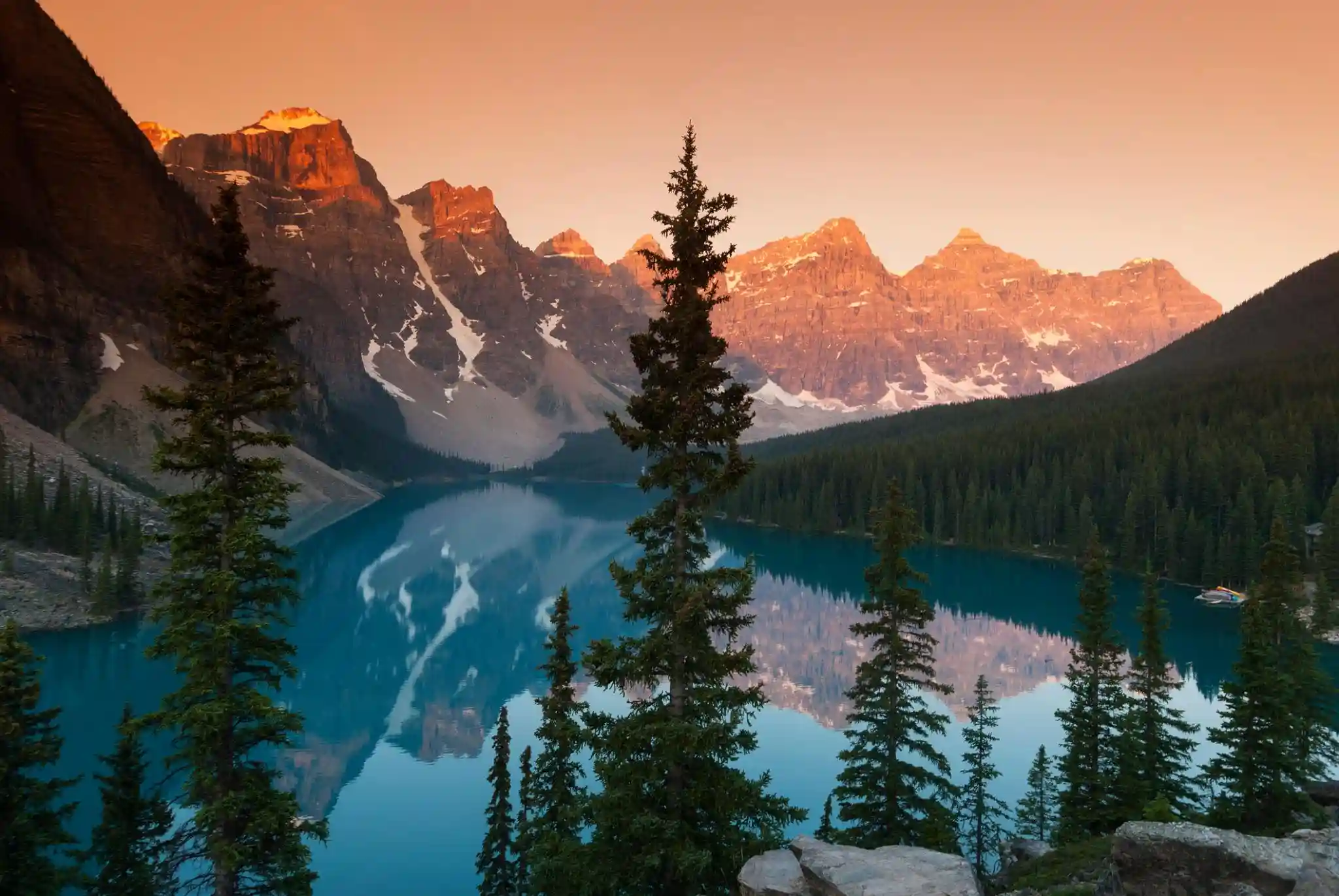
- Banff (3 to 4 days): Spread out across Lake Louise, Moraine Lake, the Icefields Parkway, and the town of Banff itself. There is easily enough here to fill several unhurried days.
Our Glacier National Park itinerary handles the first half day by day, and our Banff National Park itinerary lays out the Canadian side, so you can stitch them together into one seamless trip.
Watch the seasonal closures
The single biggest planning factor on this route is seasonality. Two of the best parts of the trip run on a summer clock:
- Going-to-the-Sun Road in Glacier is typically fully open only from around late June or July into September, and it closes over its high stretch the rest of the year.
- The Chief Mountain border crossing is seasonal and closed in winter, so the scenic Waterton route is off the table outside of the warmer months.
If you are traveling mid summer through early fall, you get the widest set of open roads and crossings and the best weather. Outside that window, lean on the year round Roosville crossing and check road status for both parks before you go.
Want the whole trip planned for you?
Pairing two mountain parks across an international border is a lot of moving parts: border timing, seasonal roads, where to base each night, and which hikes are worth your limited days. Our Banff National Park itinerary and Glacier National Park itinerary give you day by day plans for each end, and booking a local guide for a day in each park takes the logistics off your plate so you can just enjoy the drive.
Glacier National Park to Banff Road Trip: Route, Distance, and Border Tips FAQs
The drive from Glacier National Park in Montana to Banff in Alberta is roughly 250 to 300 miles, or about 400 to 480 kilometers, depending on which border crossing and route you take. Measured from the west side of Glacier near West Glacier, it runs closer to the longer end of that range, while a start from the St. Mary or Many Glacier area on the east side is a little shorter. Either way it is a comfortable single day of driving with time for stops.
Plan on about 4.5 to 6 hours of driving from Glacier National Park to Banff, not counting the border crossing. The border wait can add anywhere from a few minutes to more than an hour at busy times, so it is smart to budget extra. If you take the scenic route past Waterton Lakes National Park or stop for photos and meals, it easily becomes a full and very enjoyable day on the road.
The two common options are the Roosville crossing on US Highway 93 north of Eureka, Montana, which is open 24 hours a year round, and the Chief Mountain crossing near the northeast corner of Glacier, which connects to Waterton Lakes National Park but is seasonal and closed in winter. Roosville is the reliable year round choice. Chief Mountain is the more scenic option when it is open, usually from late spring through early fall.
Yes. You are crossing an international border from the United States into Canada, so every traveler needs a valid passport or an accepted alternative such as an enhanced driver's license or a NEXUS card. Children need their own travel documents too. Check your paperwork before you leave, confirm any visa requirements for your nationality, and know the rules on bringing food, alcohol, and other goods across the border.
The most scenic route runs up the east side of Glacier and crosses at Chief Mountain toward Waterton Lakes National Park, which borders Glacier as part of the Waterton Glacier International Peace Park. From Waterton you continue north through the Alberta foothills toward Banff. This route is only available when the seasonal Chief Mountain crossing is open. When it is closed, the Roosville crossing on the west side is the year round alternative.
A great structure is a few days in Glacier National Park first, then 3 to 4 days in Banff. In Glacier, give yourself time for Going-to-the-Sun Road and a hike or two, keeping in mind that Going-to-the-Sun Road is seasonal and usually fully open only from around late June or July into September. In Banff you can spread out over Lake Louise, Moraine Lake, the Icefields Parkway, and the town itself. Booking a local guide for a day in each park takes the pressure off the logistics.
Mid summer through early fall is the sweet spot, roughly July through September, because that is when Going-to-the-Sun Road and the seasonal Chief Mountain border crossing are most reliably open and mountain weather is at its friendliest. Late September brings golden larches near Banff and thinner crowds. Outside of summer, expect road and pass closures, a shorter list of open crossings, and the need to lean on the year round Roosville route.
Yes. The worked day-by-day plan is Banff National Park: 5-Day Icefields Parkway Itinerary (5 Days), with the permits, the stays and the drive times already sorted. Tell us your dates and we will put it together for you and confirm what is genuinely open on those days. Asking is free: no card, no deposit, and nothing is held until you say yes.