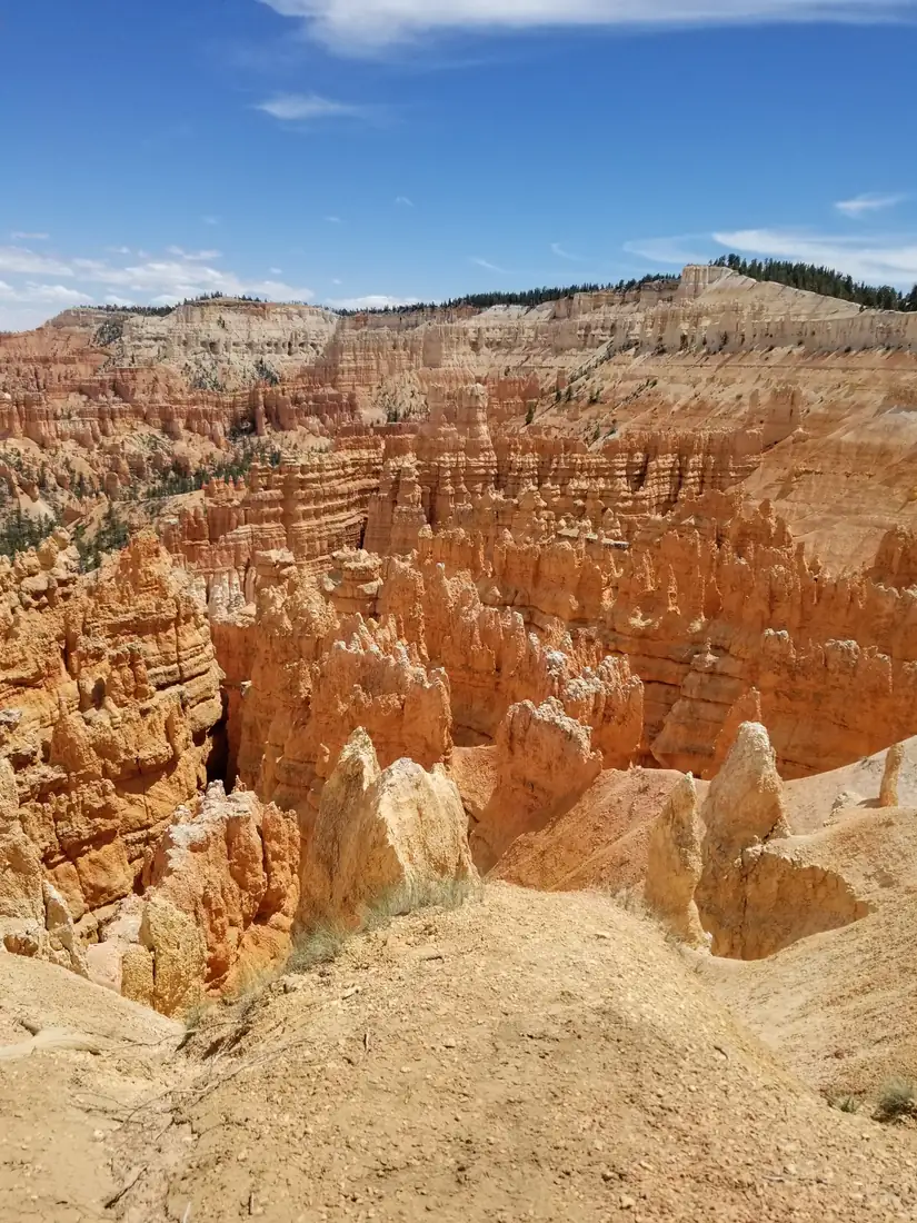
That is roughly 3 miles of walking plus 34 miles of driving, and it covers everything a first visit needs. Bryce is small. The amphitheatre you came to see is about three miles end to end.
The Figure 8 loop, and why it beats every other option
The Figure 8 links Queens Garden, the Navajo Loop and the Peekaboo Loop into one route. There are two honest versions.
- The short Figure 8, 3 miles. Down Queens Garden from Sunrise Point, along the Queens Garden Connector, and back up the Navajo Loop to Sunset Point. About 600 feet of climbing, two to three hours. This is the one to do with one day and it is the best three miles in the park.
- The full Figure 8, 6.4 miles. The same start, plus the Peekaboo Loop through the deepest part of the amphitheatre. About 1,500 feet of climbing, four to five hours. Worth it if you are fit and started early.
Walk it counterclockwise, down Queens Garden and up Navajo. The Navajo side is steeper, and it is far better to climb those switchbacks than to descend them on tired legs. Everyone who does it the other way says the same thing at the top.
What you actually see, in order
- Bryce Point at sunrise. The highest of the amphitheatre viewpoints at 8,300 feet, and the one that catches the first light across the whole bowl. Arrive 20 minutes before the listed sunrise.
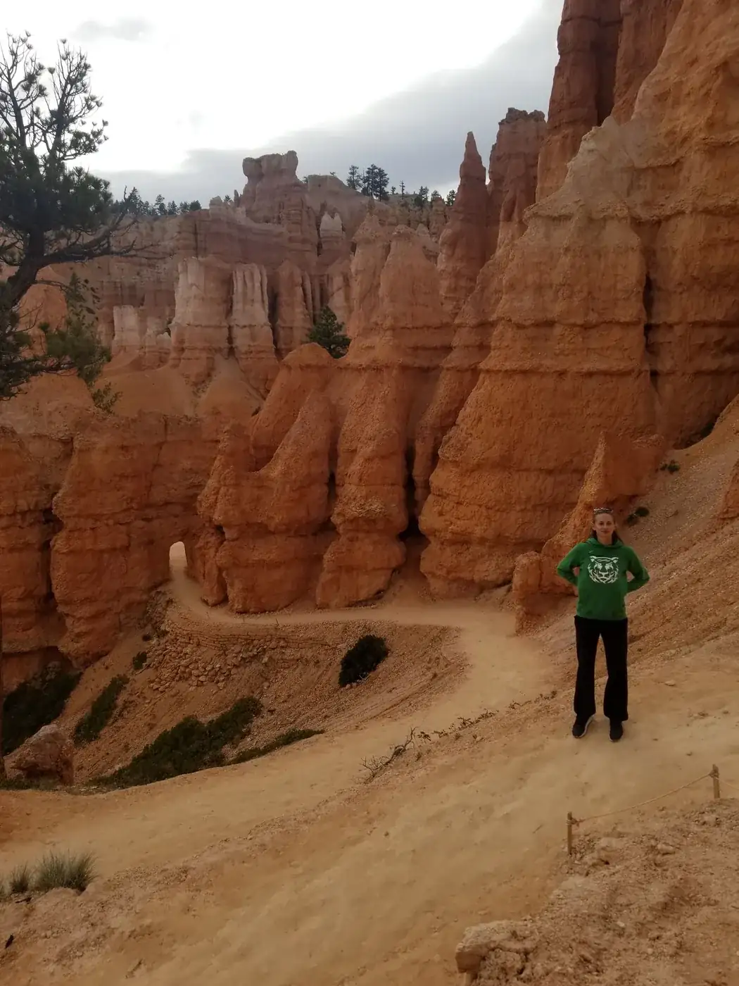
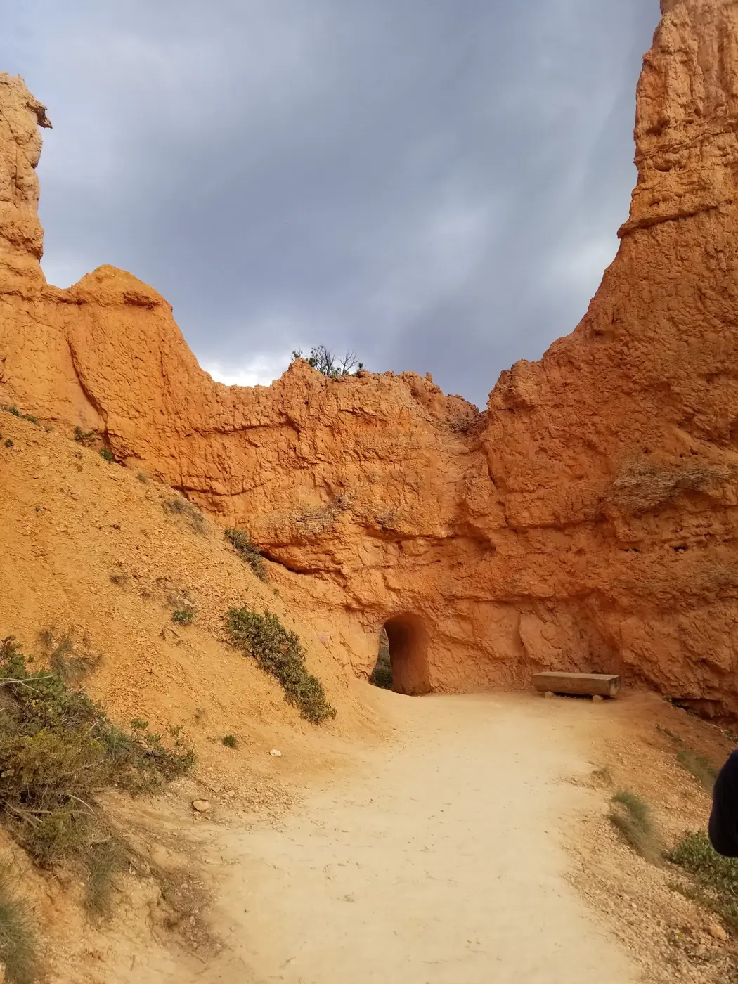
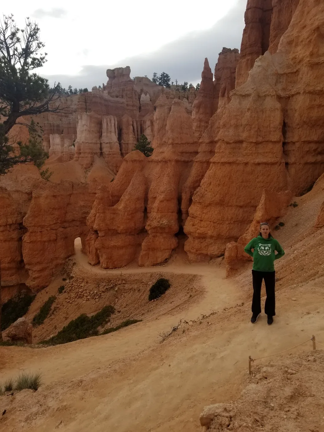
- Queens Garden, down from Sunrise Point. The gentlest way into the hoodoos, through short tunnels cut in the rock.
- Wall Street on the Navajo Loop. A slot between 200-foot walls with Douglas firs growing up out of it. Closed in winter and after heavy rain, so check at the visitor center.
- Thor's Hammer. The single most photographed hoodoo in the park, right on the Navajo Loop.
- Inspiration Point. Three tiers of viewpoint. The upper one is a steep few minutes and worth it.
- The drive to Rainbow Point. 18 miles each way to 9,100 feet. Drive straight out and stop at the overlooks on the way back, so every pullout is on your side of the road.
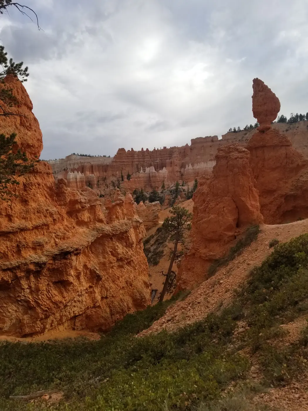
Easy hikes in Bryce Canyon National Park
Not everyone wants 600 feet of switchbacks at 8,000 feet, and you do not have to descend at all to see the park properly.
| Trail | Distance | Climbing | What it is |
|---|---|---|---|
| Rim Trail, Sunrise to Sunset | 1 mi one way | Flat, paved | The easiest hoodoo views in the park. Stroller and wheelchair friendly on this section |
| Queens Garden (out and back) | 1.8 mi | 320 ft | The gentlest descent into the amphitheatre. Turn around at the Queen Victoria hoodoo |
| Bristlecone Loop, Rainbow Point | 1 mi loop | 200 ft | Flat forest walk to 1,800-year-old bristlecone pines at 9,100 feet |
| Mossy Cave | 0.8 mi | 100 ft | Outside the main park on UT-12, with a small waterfall. Free, no entrance station |
The two things that catch people out
The elevation. The rim runs 8,000 to 9,100 feet. If you drove up from Zion at 4,000 feet that morning, the climb back out will feel much harder than 600 feet has any right to. Drink more than you think and take the switchbacks slowly.
The temperature. Bryce is 20 degrees cooler than Zion on the same day, and it can snow into May and again in October. Bring a layer even in July, especially for sunrise.
If you have longer
A second day buys you the Fairyland Loop, an eight-mile circuit that almost nobody walks, or the Under-the-Rim Trail for backpackers. The Bryce Canyon 50 miler people search for is not a park trail, it is an ultramarathon run each spring on the forest roads and trails around the park, organised separately from the National Park Service.
One Day in Bryce Canyon: The Figure 8 and the Easy Hikes FAQs
Yes, comfortably. One day in Bryce Canyon covers sunrise at Bryce Point, the three-mile Figure 8 through Queens Garden and the Navajo Loop, and the 18-mile scenic drive to Rainbow Point. The amphitheatre is only about three miles end to end, so Bryce rewards a single well-planned day far more than most national parks do.
It links Queens Garden, the Navajo Loop and Peekaboo into one route. The short version is 3 miles with about 600 feet of climbing, taking two to three hours, and it is the classic one-day hike. The full version adds the Peekaboo Loop for 6.4 miles and 1,500 feet. Walk it counterclockwise, down Queens Garden and up Navajo, because the Navajo switchbacks are much better climbed than descended.
The Rim Trail between Sunrise and Sunset Point is one flat paved mile with the best views-per-effort in the park. Queens Garden out and back is 1.8 miles and 320 feet, the gentlest way down among the hoodoos. The Bristlecone Loop at Rainbow Point is a flat forest mile to ancient trees, and Mossy Cave on UT-12 is 0.8 miles to a small waterfall outside the entrance station.
Two to three hours for the three-mile combined loop, including stops. Most of the climbing is the 600 feet back up the Navajo switchbacks at the end. At 8,000 feet that section is harder than the numbers suggest, particularly if you drove up from Zion the same morning.
Wall Street, the slot section of the Navajo Loop, closes every winter and sometimes after heavy rain or rockfall. When it is closed the Navajo Loop still runs via the Two Bridges side, so the Figure 8 works either way. Check the current status at the visitor center or on the park website the morning you go.
Roughly 20 degrees cooler on the same day, because the Bryce rim sits at 8,000 to 9,100 feet against Zion Canyon's 4,000. Snow is possible into May and returns in October. Bring a layer even in midsummer, and expect sunrise at Bryce Point to be genuinely cold.
An ultramarathon held each spring on the trails and forest roads around Bryce Canyon, run by a private race organiser rather than the National Park Service. It is not a marked park trail, so if you are looking for a long day on foot inside the park, the Fairyland Loop at 8 miles or the Under-the-Rim Trail are the park's own answers.
Bryce Point, if you can only pick one. It is the highest of the main amphitheatre viewpoints at 8,300 feet, looks across almost the whole bowl rather than a slice of it, and it is the sunrise spot in this itinerary. If you are driving through rather than hiking, Inspiration Point is the next best single stop, close to the main parking and just a few minutes from the rim.
Yes. The worked day-by-day plan is Bryce Canyon Itinerary: 2 Days Among the Hoodoos (2 Days), with the permits, the stays and the drive times already sorted. Tell us your dates and we will put it together for you and confirm what is genuinely open on those days. Asking is free: no card, no deposit, and nothing is held until you say yes.