Every Acadia map you find online shows you the same thing: a green blob on an island with a road looping through it. What none of them explain is how the park is actually organised, which is the thing that decides whether your trip runs smoothly or you spend three days driving in circles. Acadia is not one contiguous park. It is scattered across a lobster-claw-shaped island in pieces, with a one-way road, a separate 45 mile gravel network signed entirely by numbers, and two outlying chunks that are not on the island at all.
Here is the mental map. Get this and the paper one makes sense in about a minute.
Mount Desert Island splits down the middle
The island is shaped like a lobster claw, and the split between the two pincers is Somes Sound, a long fjard cutting almost all the way through from the south. That divide is the single most useful thing to understand about Acadia, because it drives every decision you make.
The east side holds Bar Harbor, Cadillac Mountain, the Park Loop Road, Sand Beach, Thunder Hole, the Precipice, the Beehive and Jordan Pond. This is roughly 90% of what people mean when they say Acadia, and roughly 90% of the visitors.
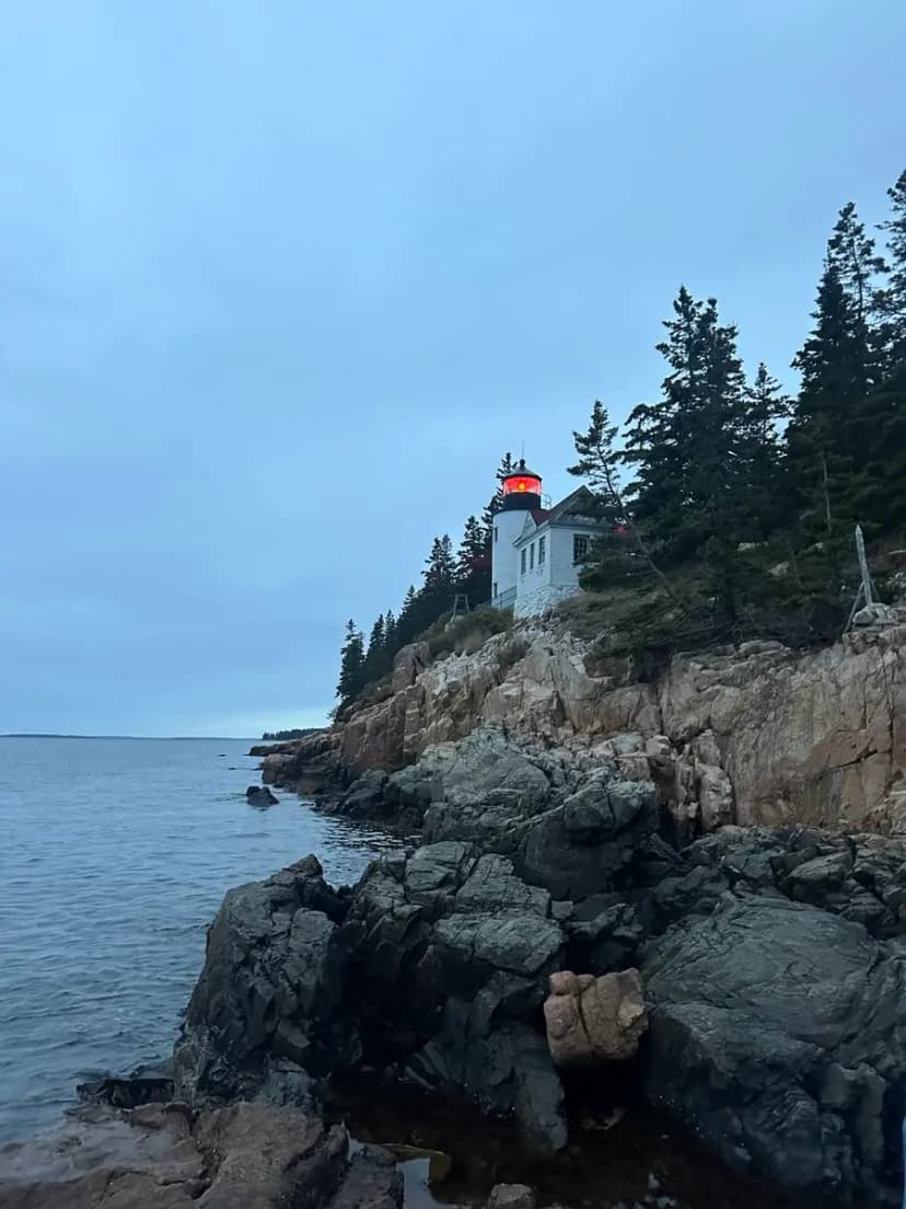
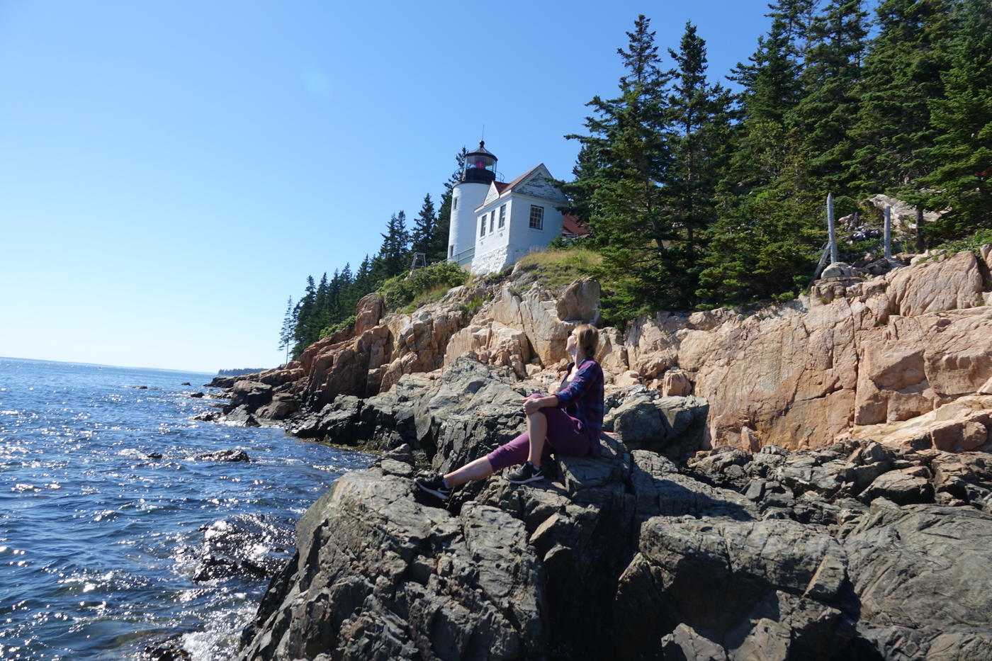
The west side, which locals call the quiet side, holds Southwest Harbor, Bass Harbor Head Lighthouse, Acadia Mountain and Echo Lake. Same park, a fraction of the crowd.
Crossing between them means driving around the top of Somes Sound through Somesville. There is no bridge across. From Bar Harbor to Bass Harbor is about 45 minutes even though they look close together on a map, and that surprises people constantly.
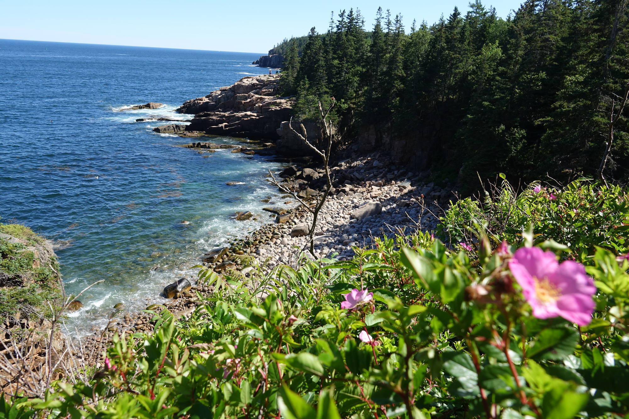
The Park Loop Road, and the one-way trap
The Park Loop Road is a 27 mile scenic drive on the east side that strings together most of the famous stops. Most of it is one-way, running clockwise, and this is where people lose an hour.
If you drive past the Precipice parking area, or Sand Beach, or Thunder Hole, you cannot turn around. You commit to the rest of the loop and come back. In August with traffic that is a solid 45 minutes to get back to a lot you were looking at.
The order going clockwise, which is the order you will meet them:
| Stop | Roughly | What it is |
|---|---|---|
| Hulls Cove Visitor Center | Mile 0 | Maps, passes, the good bathrooms |
| Precipice parking | Mile 4 | Iron rung trail, small lot, fills first |
| Sand Beach | Mile 6 | The beach, and the Beehive trailhead opposite |
| Thunder Hole | Mile 7 | Sea chasm. Needs a rising tide to do anything |
| Otter Cliffs | Mile 8 | 110 ft granite sea cliffs |
| Jordan Pond House | Mile 12 | Popovers, and the pond loop trailhead |
| Bubble Rock parking | Mile 13 | South Bubble and the balanced boulder |
| Cadillac Summit Road | Mile 15 | Turnoff. Reservation required in season |
One more thing the map will not tell you: parking along the one-way sections is allowed in the right lane where the shoulder permits it, which is how people get into Sand Beach when the lot is closed. Watch for the signs, because plenty of stretches prohibit it.
The carriage roads are a completely separate map
This is the part that confuses everybody. Threaded through the middle of the east side are 45 miles of crushed-stone carriage roads, built by John D. Rockefeller Jr. between 1913 and 1940, with seventeen hand-cut granite bridges and no motor vehicles allowed anywhere on them.
They are not signposted with names. They are signposted with numbered wooden junction posts, and navigation works by memorising a sequence of numbers. "Take 6 to 8 to 10" is a real set of directions here. Without the dedicated carriage road map this is genuinely disorienting, because every junction looks like the last one and none of them tell you where you are going.
Get the free carriage road map at Hulls Cove, or the waterproof one for a few dollars. The regular park hiking map does not show the junction numbers clearly enough to navigate by.
The two pieces that are not on the island
Acadia has two outlying sections that catch people out when they see them on a map and assume they are a short drive:
- Schoodic Peninsula. On the mainland, about an hour by car from Bar Harbor around the head of Frenchman Bay, or a much nicer 45 minutes on the seasonal passenger ferry. The only mainland part of the park, dramatically quieter, and worth a day if you have four or more.
- Isle au Haut. An actual island, reached by mail boat from Stonington, which is itself a 90 minute drive from Bar Harbor. Half of it is park, it is beautiful and remote, and it is a serious commitment for a short trip.
On a three day trip, ignore both. They are what you come back for.
Which map to actually carry
Do not rely on your phone alone. Cell service is patchy to nonexistent on the carriage roads, the west side, and most summits, and Google Maps does not know Acadia trails exist.
- Paper, and specifically the waterproof one. The Map Adventures or National Geographic Trails Illustrated Acadia map is the one to have. It shows trail junctions, the carriage road numbers and the hiking trails at a scale you can navigate by. Buy it at Hulls Cove or any Bar Harbor outfitter.
- Download offline maps before you leave the hotel. AllTrails or Gaia with the area cached will save you at least once. The moment past Bangor where signal drops is real.
- The free NPS park map is fine for the Park Loop Road and useless for hiking. Take it for the driving, not the trails.
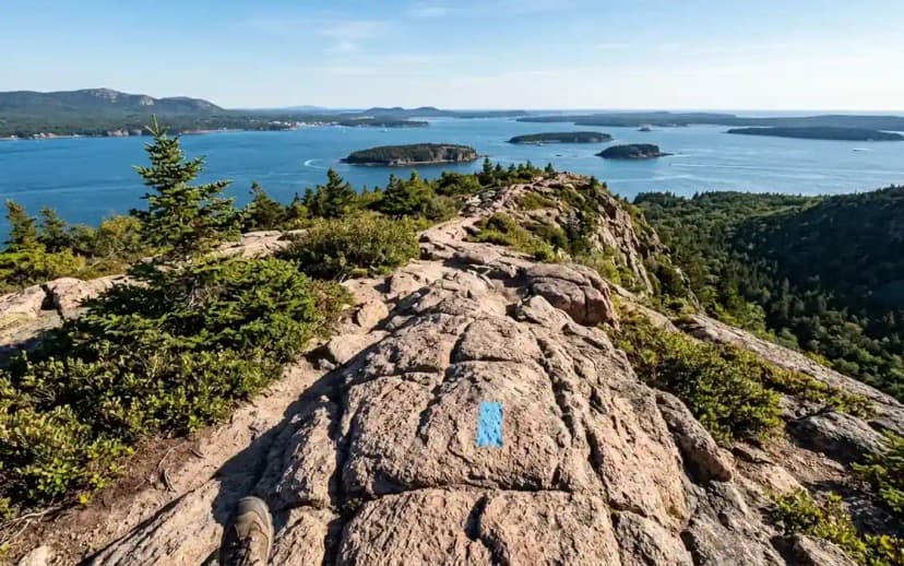
On open granite the trail itself is marked with blue paint blazes and Bates-style cairns, which are the little two-legged rock structures with a flat stone on top. They are deliberate and they point the way. Do not add to them and do not build your own, because extra rock piles on featureless granite genuinely get people lost up there.
Where the trailheads sit relative to town
Bar Harbor is the practical centre of gravity for a first visit, and the reason is boring but decisive: it is about fifteen minutes from every east-side trailhead. Cadillac, the Precipice, Sand Beach, the Beehive and Jordan Pond are all a short drive, which matters enormously when you are leaving in the dark for a sunrise.
| From Bar Harbor | Drive |
|---|---|
| Cadillac North Ridge trailhead | 15 min |
| Precipice parking | 10 min |
| Sand Beach and the Beehive | 15 min |
| Jordan Pond House | 20 min |
| Eagle Lake carriage road | 10 min |
| Acadia Mountain, west side | 35 min |
| Bass Harbor Head Lighthouse | 45 min |
| Schoodic Peninsula | 60 min |
The version of this map with the route already on it
If you would rather not assemble all this yourself, our Acadia National Park 3 day itinerary has every stop above pinned on one map, in the order that works: the east side and the Park Loop on day one, the Precipice and Champlain on day two, then Jordan Pond, the carriage roads and the west side on day three. You can open the whole route in Google Maps in one click, which solves the one-way problem before you meet it.
For what to actually walk once you are oriented, our guide to the best Acadia hiking trails covers all twelve with distances and honest difficulty.
Acadia National Park Map: How the Island Fits Together FAQs
Yes. The National Park Service hands out a free park map at the Hulls Cove Visitor Center and the entrance stations, and there is a separate free carriage road map with the numbered junctions on it. The free map is good for driving the Park Loop Road and not detailed enough for hiking, so pick up a waterproof trail map as well if you plan to walk anything.
Most of it, yes, running clockwise. If you drive past a parking area such as the Precipice or Sand Beach you cannot turn around, and you have to complete the loop to come back. In summer traffic that can cost you 45 minutes, so know which stops you want before you set off.
By numbered wooden junction posts rather than trail names, so directions come as a sequence of numbers. You need the dedicated carriage road map to make sense of it, because the standard park map does not show the junction numbers clearly. Every junction looks much like the last one, which is why people get turned around.
Further than they look. Somes Sound cuts most of the way through the island and there is no bridge across it, so you drive around the top through Somesville. Bar Harbor to Bass Harbor is about 45 minutes despite appearing close on a map.
For the roads, mostly. For trails, no. Cell service is patchy or absent on the carriage roads, the west side and most summits, and Google Maps does not include Acadia hiking trails. Download an offline map in AllTrails or Gaia before you leave your hotel, and carry paper as a backup.
No, and this catches people out. Schoodic Peninsula is the mainland section, about an hour by car from Bar Harbor or 45 minutes on the seasonal ferry. Isle au Haut is a separate island reached by mail boat from Stonington, which is a 90 minute drive away. Neither is realistic on a three day trip.
Yes. The worked day-by-day plan is Acadia National Park 3-Day Itinerary: Best Hikes + Where to Stay (3 Days), with the permits, the stays and the drive times already sorted. Tell us your dates and we will put it together for you and confirm what is genuinely open on those days. Asking is free: no card, no deposit, and nothing is held until you say yes.