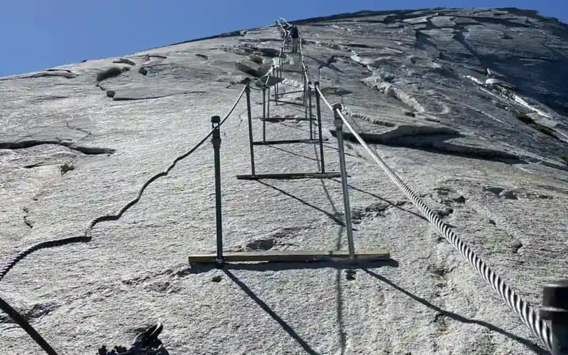
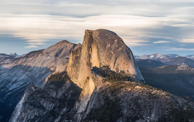
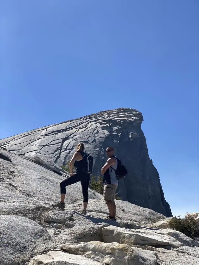
The Half Dome hike is about 14 to 16 miles round trip with roughly 4,800 feet of climbing, finishing on a 400 foot cable route up bare granite. It is the hardest day hike most people ever attempt, and the numbers only tell you half of why.
Here is the route, the mileage broken down, how steep it actually gets, and what is on top.
| Detail | |
|---|---|
| Distance | 14.2 mi via the Mist Trail, 16.4 mi via the John Muir Trail |
| Elevation gain | About 4,800 feet |
| Summit | 8,839 feet |
| Time | 10 to 14 hours |
| Trailhead | Happy Isles, Yosemite Valley |
| Permit | Required whenever the cables are up |
The route, section by section
| Section | Miles | What it is |
|---|---|---|
| Happy Isles to Vernal Fall bridge | 0.8 | Paved, steady climb, busy |
| Vernal Fall via the Mist Trail | 1.5 | Granite steps, soaked in spring |
| Nevada Fall | 2.2 | More steps, the steepest sustained part |
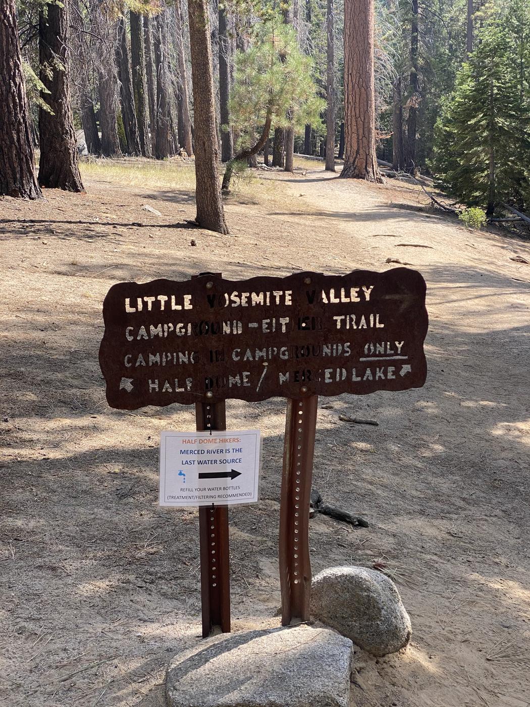
| Little Yosemite Valley | 3.5 | Flat, sandy, the one easy mile |
| The long climb to the shoulder | 6.2 | Switchbacks under trees, relentless |
| Sub Dome | 7.0 | Granite staircase, exposed, permit checked |
| The cables | 7.2 | 400 feet of steel and polished rock |
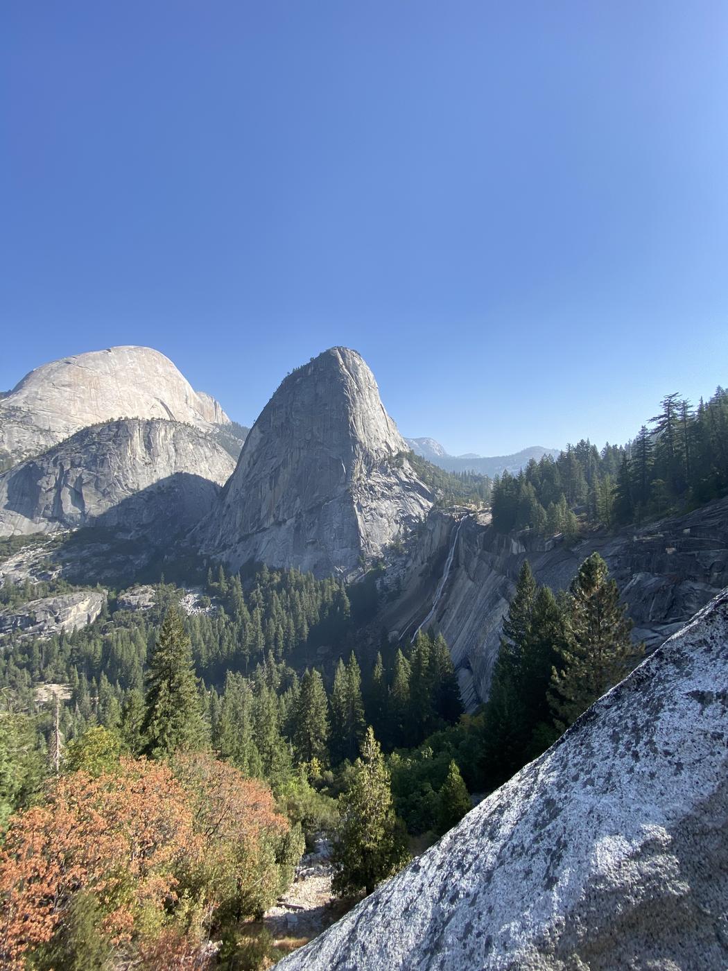
Mist Trail or John Muir Trail
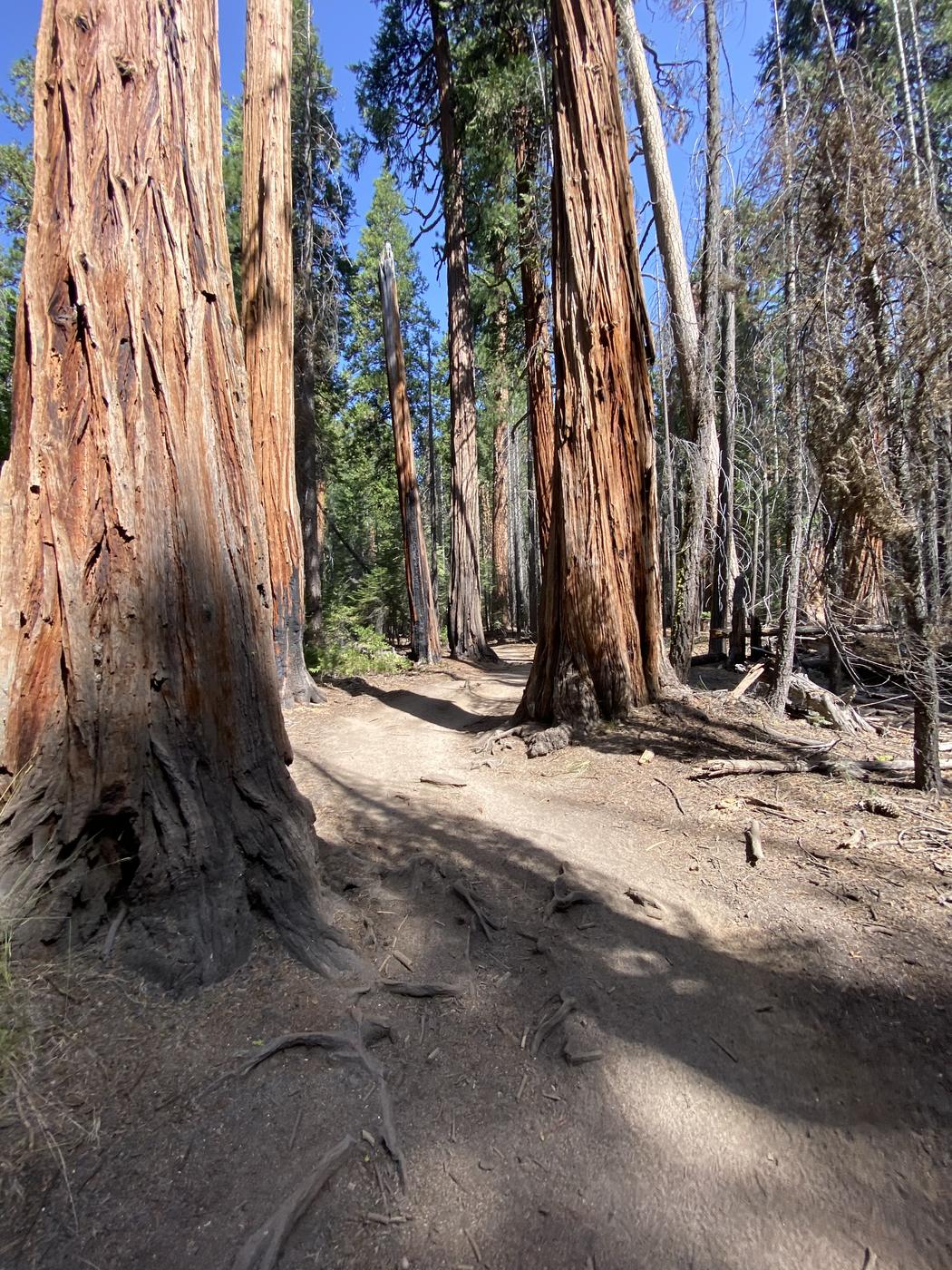
Two routes reach the same place. The Mist Trail is shorter and much steeper, a staircase cut into granite beside two waterfalls, and in spring you will be soaked by the spray. The John Muir Trail is longer, graded for horses, and much kinder on the descent.
The move most people settle on: up the Mist Trail while your legs are fresh, down the John Muir Trail when they are not. Those granite steps are punishing on the way down after twelve hours, and the extra two miles buys you a gentler grade.
How steep does it get
4,800 feet over seven miles averages out to a moderate grade, and the average is misleading. The climb is stacked into three sections that are far steeper than that, with a flat mile in the middle that lets you forget what is coming.
The Mist Trail to Nevada Fall gains about 2,000 feet in two miles. The final pull to the shoulder is another 2,000 over switchbacks. The Sub Dome is a genuine granite staircase with drop-offs on both sides and no railing. Then the cables run at close to 45 degrees.
How hard is it, honestly
Hard. Not technically, since there is a trail the whole way and the cables are fixed, but the sheer length of the day is what catches people out. Ten to fourteen hours of moving, most of it climbing, at altitude, usually in heat, finishing with a section that demands arm strength when your arms are the tiredest thing you own.
What tends to go wrong is not fitness. It is water, heat and time. People run out of daylight because they started at eight, or run out of water on the exposed upper half, and then have to descend granite steps in the dark.
If you can walk 14 miles and climb 4,000 feet in a day and are not frightened of heights, you can do this. If you have never done either, this is not the hike to find out on.
What is on top
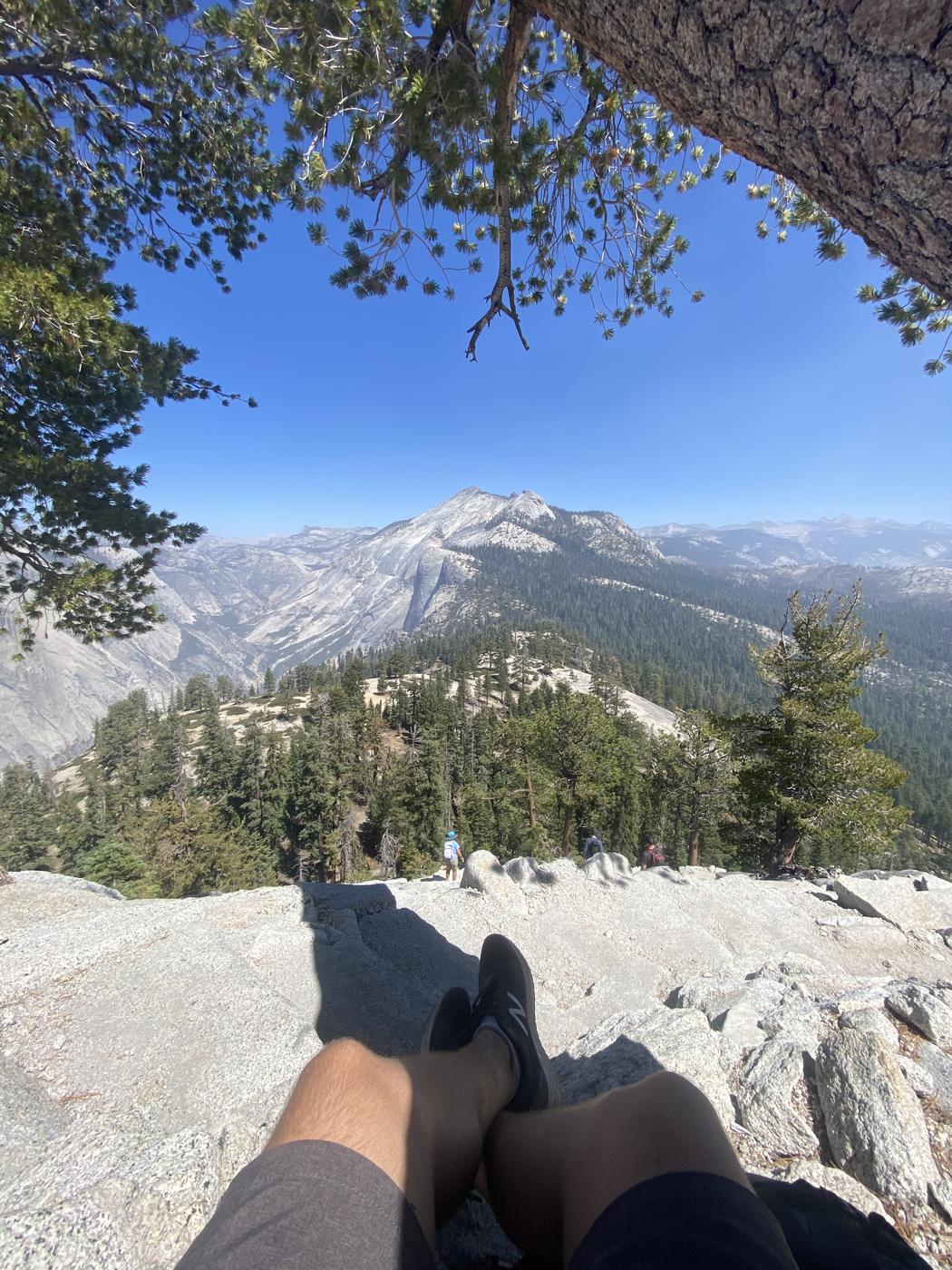
The summit is a surprise. It is not a point but a broad, gently sloping expanse of granite, roughly thirteen acres, big enough that you can walk around on it and lose sight of other people.
The famous view is straight down the vertical northwest face into Yosemite Valley, with Glacier Point across the way and the high country behind. The Visor, the flat slab jutting over the void that appears in every photograph, is on the north edge. People walk out onto it. There is nothing stopping you and nothing to catch you.
Give yourself half an hour up there. Most people are so focused on the cables that they touch the top and turn around, having spent eleven hours getting to a place they then spent ten minutes in.
Timing the day
- Start before dawn. Four or five in the morning is normal. It is not enthusiasm, it is arithmetic: a fourteen hour day from a 5am start ends at 7pm, and from an 8am start ends in the dark.
- Carry a headtorch anyway. Everyone thinks they will be quicker than they are.
- Four litres of water minimum, or a filter for the Merced. The top half has no water and no shade.
- Be off the summit by early afternoon in summer, before storms build.
Half Dome Hike: The Route, the Miles, and How Steep It Gets FAQs
About 14.2 miles round trip via the Mist Trail, or 16.4 miles via the John Muir Trail, both starting from Happy Isles in Yosemite Valley. Most people go up the shorter, steeper Mist Trail and come down the longer, gentler John Muir Trail to spare their knees.
It is the hardest day hike most people ever attempt. Nothing is technical, but it is 10 to 14 hours of moving with 4,800 feet of climbing, at altitude, usually in heat, finishing with a 400 foot cable route that demands arm strength at the point your arms are most tired. Fitness is rarely what defeats people. Water, heat and running out of daylight are.
The average grade is moderate and the average is misleading. The climb is stacked into three steep sections: about 2,000 feet in two miles on the Mist Trail to Nevada Fall, another 2,000 feet of switchbacks to the shoulder, then the Sub Dome staircase and the cables at close to 45 degrees.
8,839 feet. The summit is not a point but a broad, gently sloping expanse of granite of roughly thirteen acres, big enough to walk around on and lose sight of other people.
The flat slab of granite jutting out over the northwest face on the north edge of the summit, and the spot in most of the photographs. People walk out onto it. There is no barrier and nothing below it for nearly 5,000 feet.
Four or five in the morning. It is arithmetic rather than enthusiasm: a fourteen hour day starting at 5am finishes around 7pm, while the same day starting at 8am finishes in the dark on granite steps. Carry a headtorch regardless, because almost everyone is slower than they expect.
Yes, the Half Dome Cables is required. Cables-route day-hike lottery for Half Dome.
Application window: the month of March (preseason lottery).
Moderate (~20–30% preseason)
Daily lottery 2 days before your hike, or stop at the sub-dome viewpoint (no permit needed).
Yosemite Valley, CA is the gateway town, flying into Fresno Yosemite (FAT).
Yes. The worked day-by-day plan is Yosemite Hiking Trips: Best Trails & Complete Guide (Multi-day), with the permits, the stays and the drive times already sorted. Tell us your dates and we will put it together for you and confirm what is genuinely open on those days. Asking is free: no card, no deposit, and nothing is held until you say yes.